Explore Sri Lanka
Regions
Choose a practical travel area to see its published destination guides, planning context and map.
Published regional collections
Choose a Practical Travel Area
Each card shows the guides currently published and the kinds of places covered in that travel area.
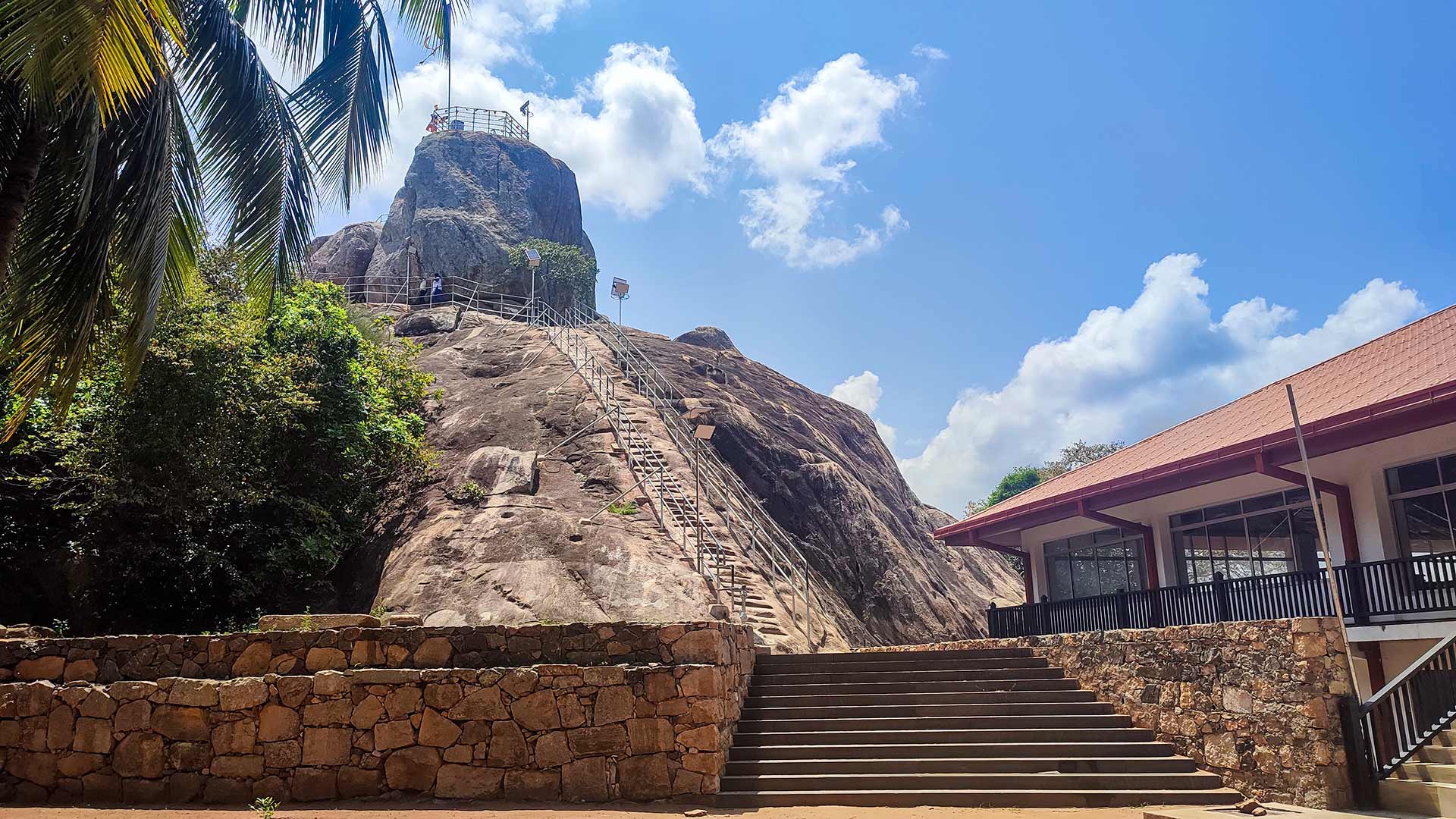
Anuradhapura2 published guidesA north-central travel base for ancient Buddhist heritage and journeys into Sri Lanka's dry-zone landscapes.CulturalWildlifeExplore region
Belihuloya5 published guidesA highland travel area linking waterfalls, estate roads, mountain walks and viewpoints around Belihuloya and nearby Balangoda country.HikingViewpointWaterfallExplore region
Central Highlands1 published guideA broad editorial grouping for journeys that cross Sri Lanka's hill country, currently represented here by the Pekoe Trail overview.TrailFocused collection with one researched guide currently published.Explore region
Ella4 published guidesA popular Uva highland base for short climbs, railway scenery and accessible waterfall visits.HikingViewpointWaterfallExplore region
Haputale3 published guidesA cool ridge-town base for tea-estate viewpoints, mountain scenery and a working Benedictine monastery property.CulturalHikingViewpointExplore region
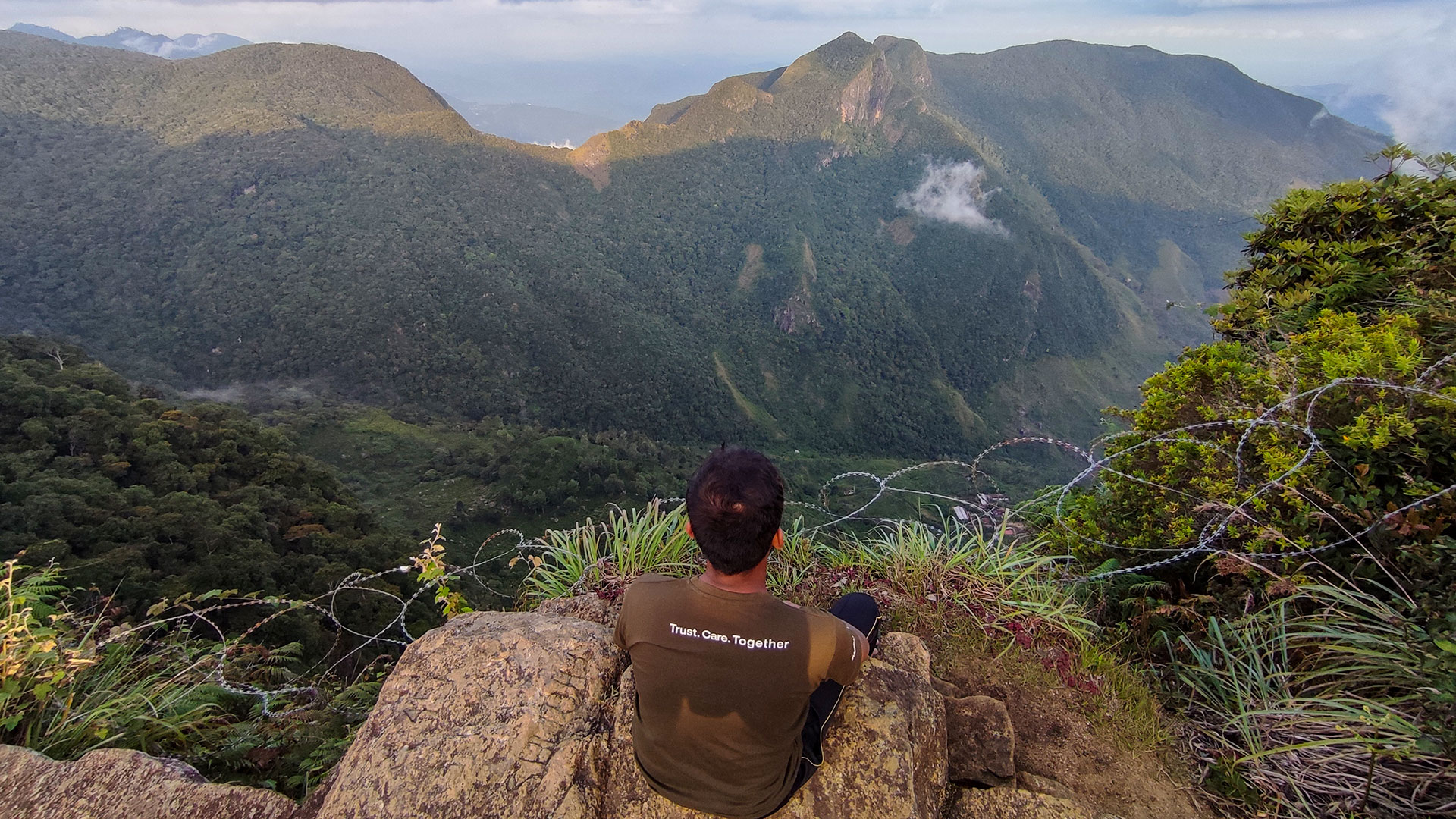
Horton Plains3 published guidesA protected high-elevation landscape represented here by the main circuit, Great World's End and the demanding Kirigalpoththa hike.HikingTrailViewpointExplore region
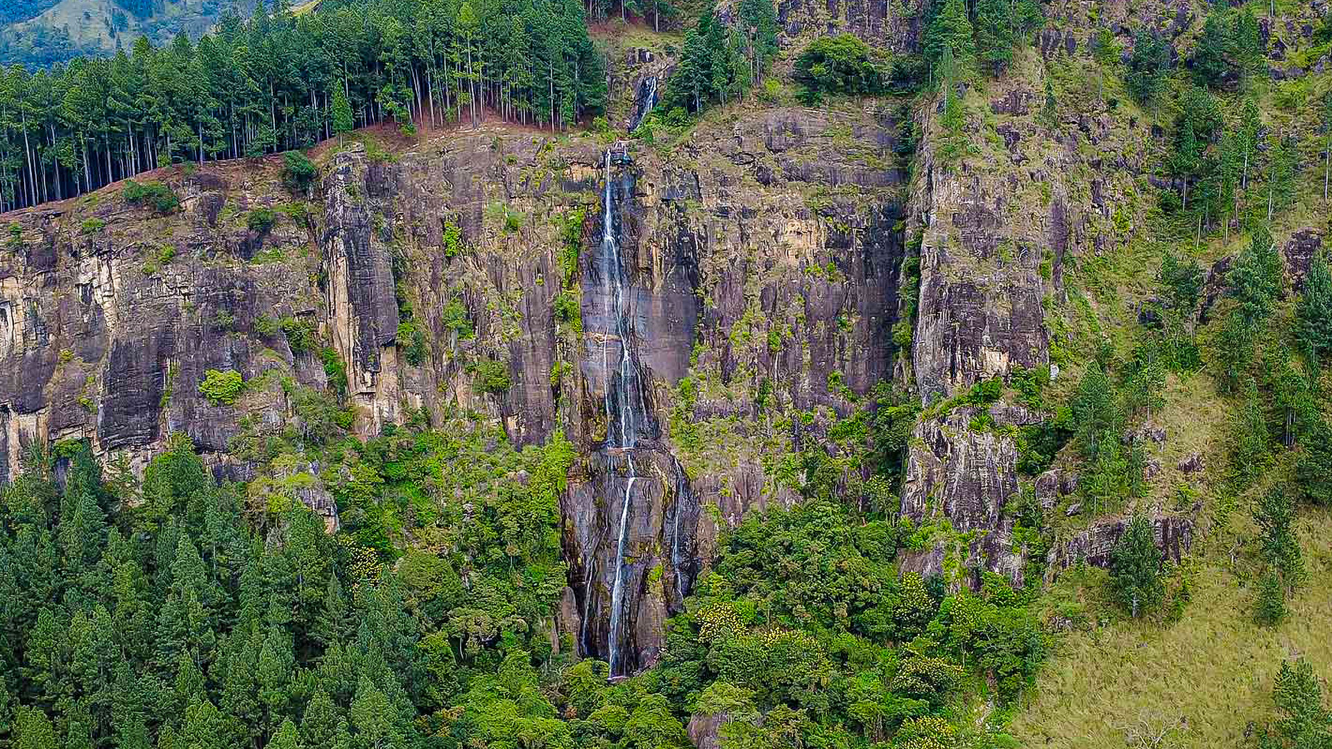
Kalupahana3 published guidesA focused waterfall area around Bambarakanda, Lanka Ella and Yahalathenna, where local route knowledge matters.WaterfallExplore region
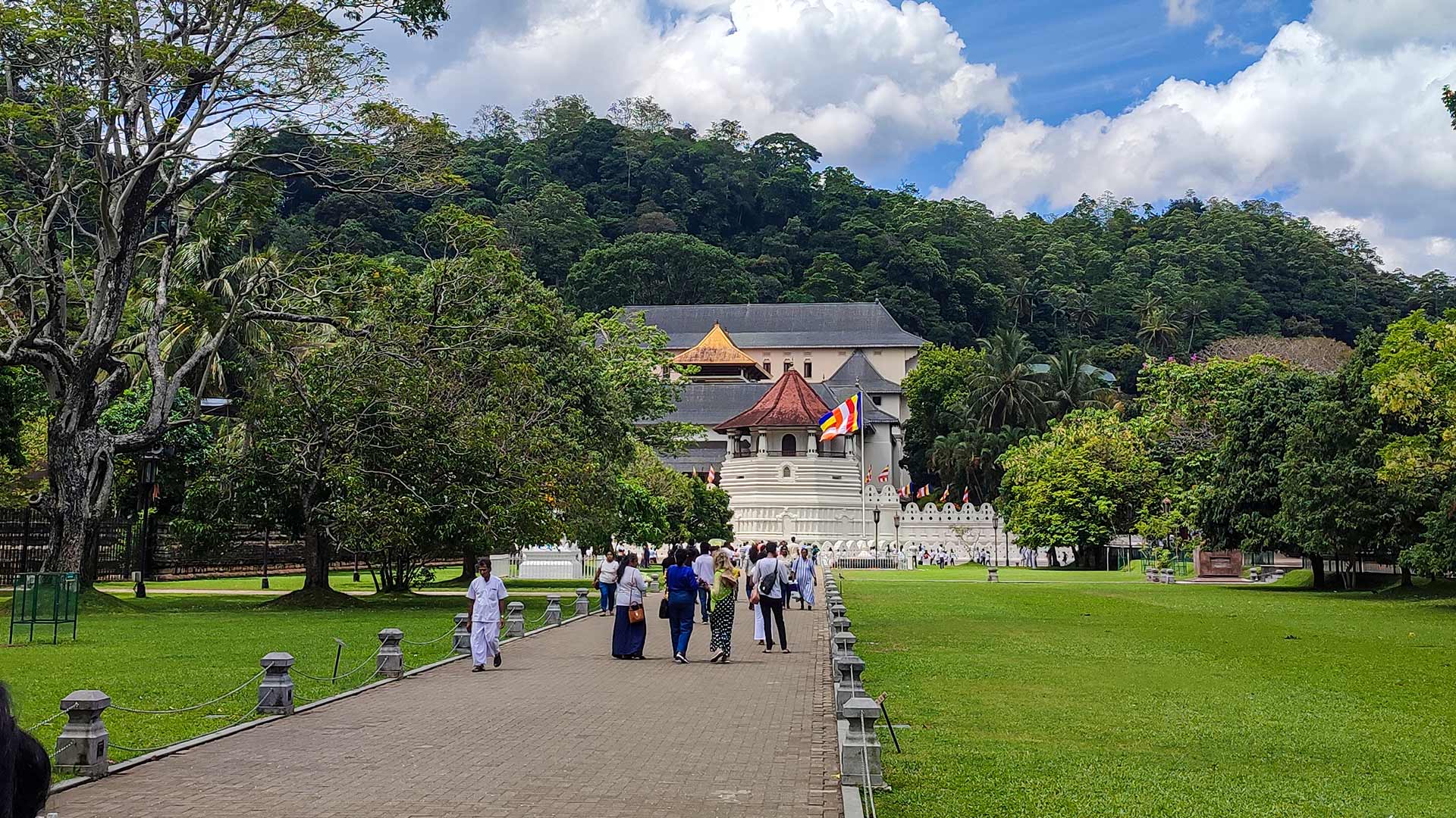
Kandy5 published guidesA broad central travel hub combining sacred heritage, city viewpoints and mountain outings in the surrounding district.CulturalHikingViewpointExplore region
Kegalle4 published guidesA Sabaragamuwa travel grouping for river valleys, waterfalls and viewpoints reached through different parts of Kegalle District.ViewpointWaterfallExplore region
Knuckles Mountain Range9 published guidesA large mountain landscape with distinct access corridors for Riverston, Bambarella and other separately planned destinations.HikingViewpointWaterfallExplore region
Loolkandura2 published guidesA tea-estate heritage area represented here by James Taylor's Seat and the Kondagala Rock hike.HikingViewpointExplore region
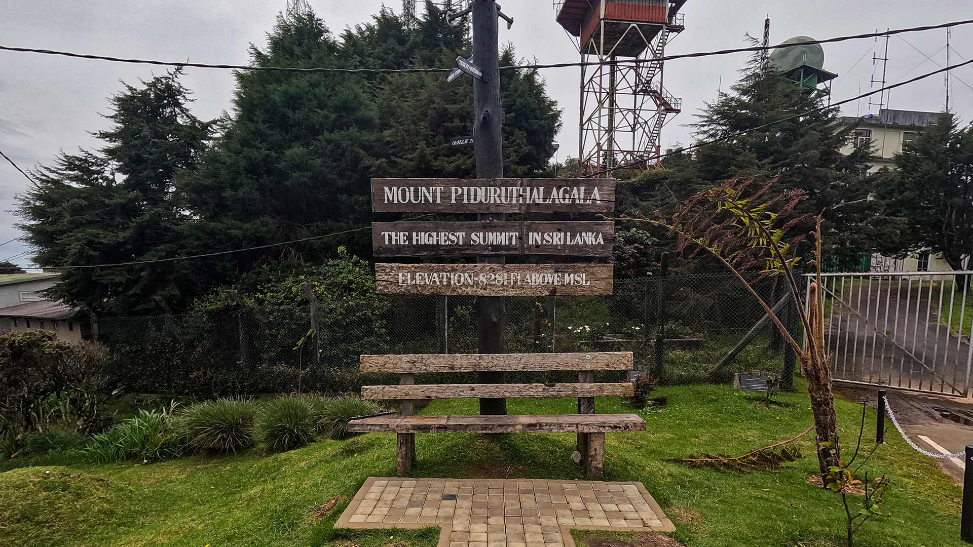
Nuwara Eliya3 published guidesA cool-climate highland base linked here to a waterfall, a reservoir viewpoint and Sri Lanka's highest mountain area.ViewpointWaterfallExplore region
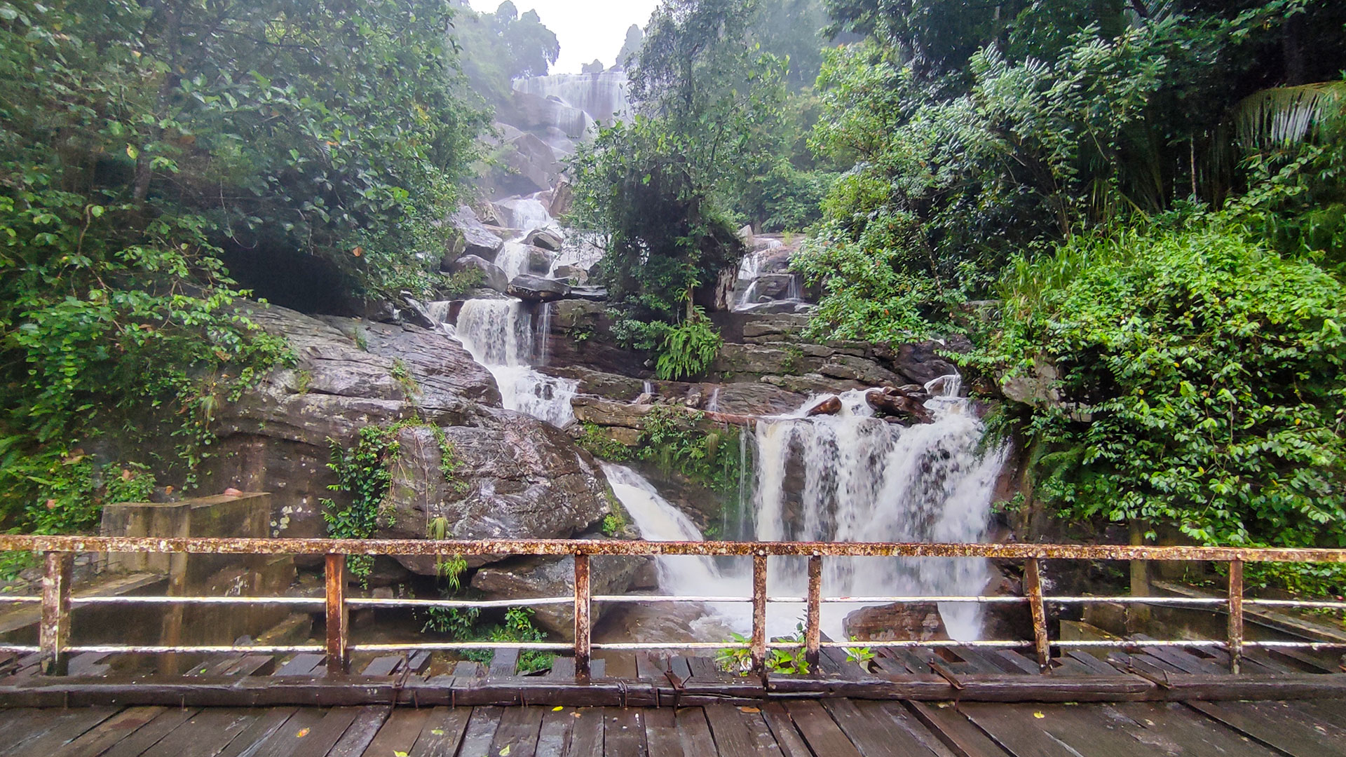
Ramboda3 published guidesA waterfall-focused corridor around the Gampola-Nuwara Eliya road and the wider Kotmale highlands.WaterfallExplore region
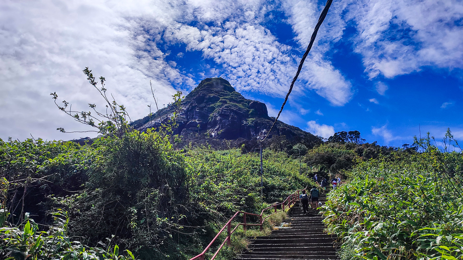
Sri Pada / Adam's Peak3 published guidesA sacred mountain region linking the Nallathanniya pilgrimage route with waterfalls reached from separate valleys and roads.HikingWaterfallExplore region
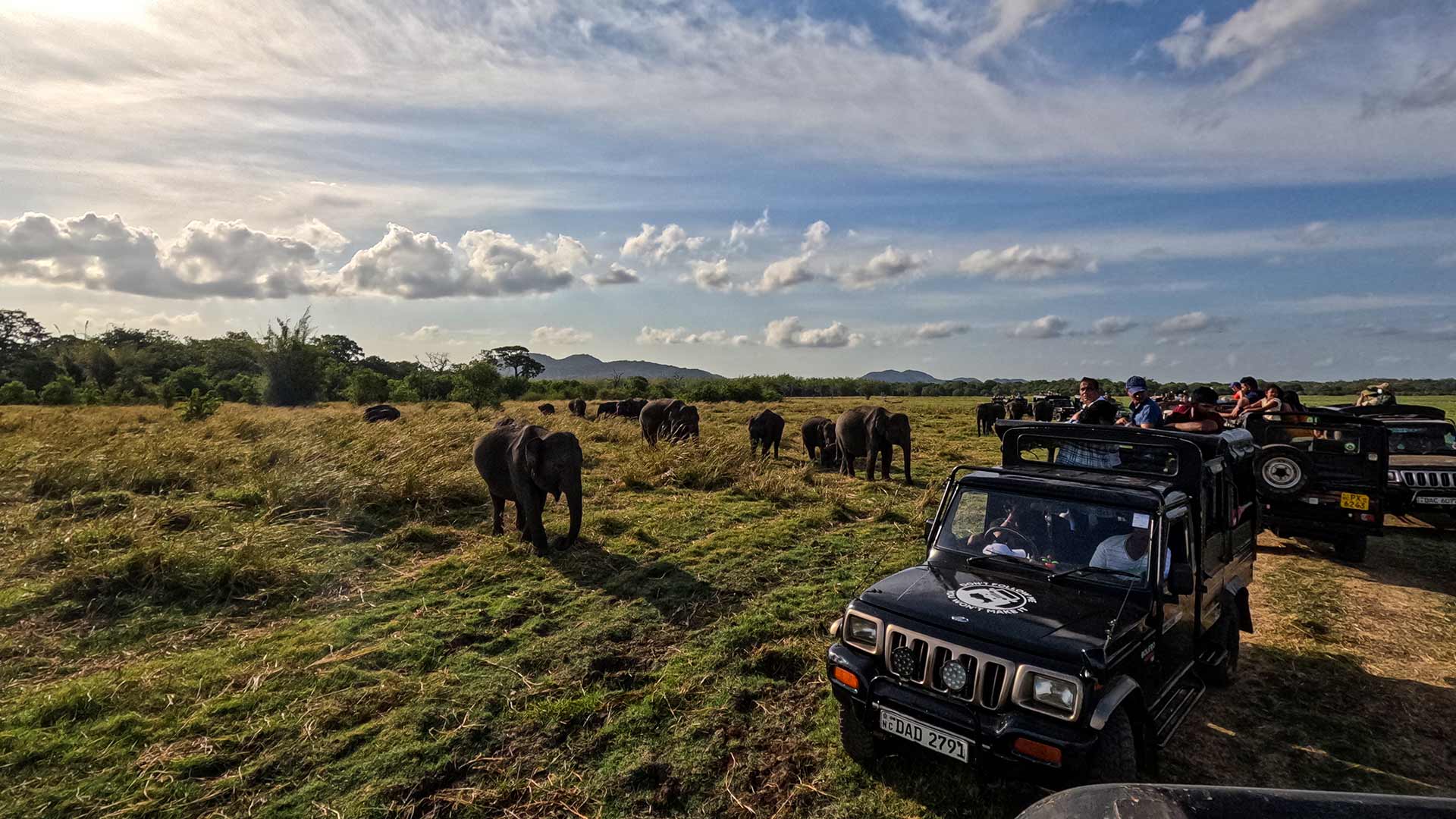
Polonnaruwa1 published guideA north-central travel area currently represented on Ceylon Folk by Minneriya National Park and its seasonal wildlife landscape.WildlifeFocused collection with one researched guide currently published.Explore region
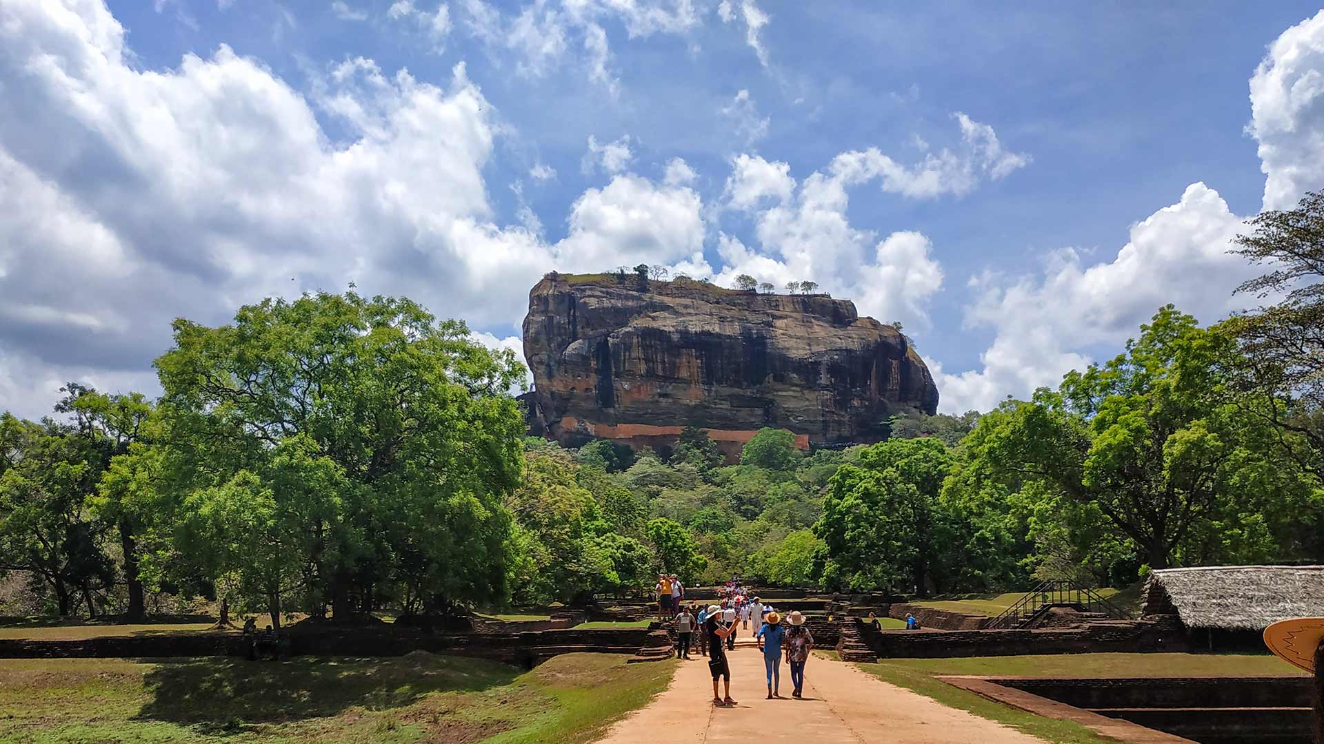
Sigiriya2 published guidesA cultural-triangle base for the approximately 180-metre Sigiriya rock citadel and the five cave shrines at Dambulla.CulturalExplore region
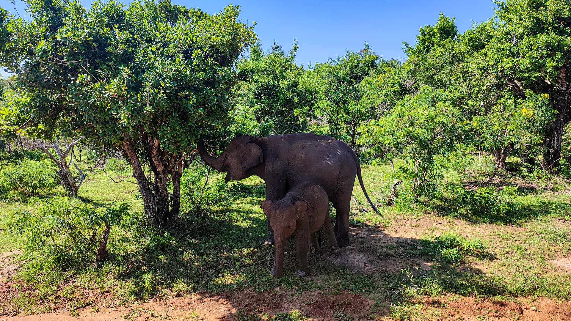
Yala1 published guideA southeastern wildlife region currently represented here by a practical guide to Yala National Park.WildlifeFocused collection with one researched guide currently published.Explore region
How Ceylon Folk Regions Work
How Ceylon Folk regions work
Ceylon Folk regions are practical editorial groupings used to connect destination guides that share a useful travel area; they are not a replacement for Sri Lanka's official provincial and district boundaries.
Mountain roads, rail schedules, transfers and weather can make nearby-looking places slow to connect. Choose a base only after checking the actual access route in each destination guide. Ella, Nuwara Eliya, Kandy, Haputale, Horton Plains, Adam's Peak and the separate Knuckles access corridors should not be treated as one interchangeable cluster.