


Travel Region
Ramboda
A waterfall-focused corridor around the Gampola-Nuwara Eliya road and the wider Kotmale highlands.
Regional overview
Planning a Visit to Ramboda
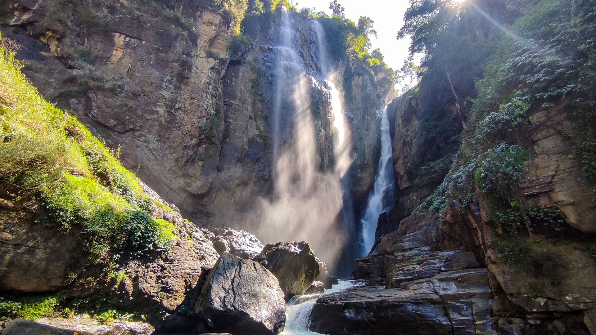
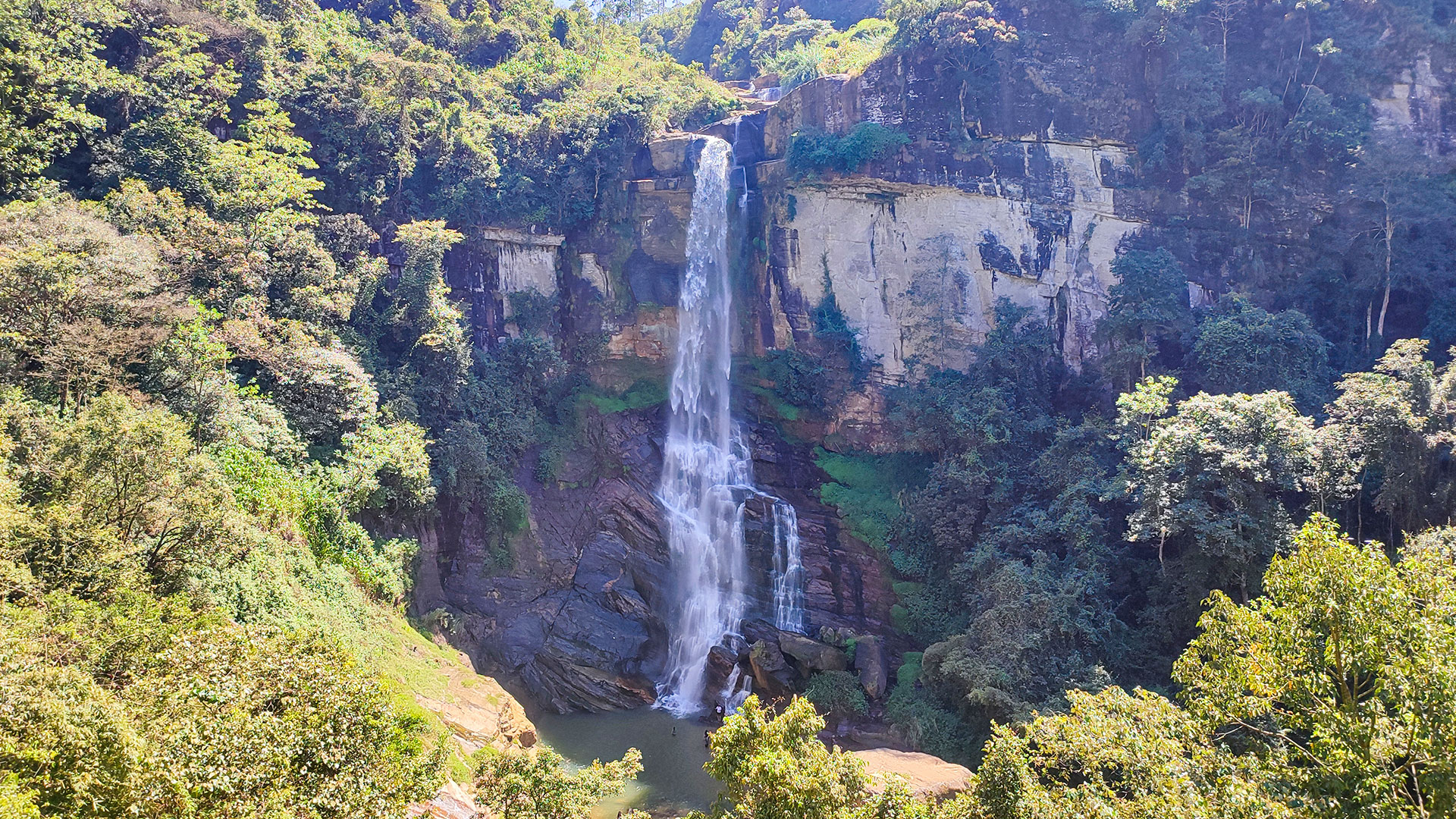
Ceylon Folk currently covers Kadiyanlena, Puna Ella and Upper Ramboda Fall in this grouping. The regional label helps organise a highland road trip, but the falls use different access points and are not a single marked walking trail.
Road traffic, safe parking, recent rainfall and the final approach should determine the order of a visit. Read each destination guide before stopping, especially where a viewpoint lies beside or below a busy mountain road.
Best Suited For
- Waterfall road trips
- Highland drives
- Short scenic stops
- Photography
Before You Build an Itinerary
- 1Stop only where parking and road crossing are safe and permitted.
- 2Do not block narrow roads or enter private property to obtain a closer waterfall view.
- 3Rain can increase both waterfall power and roadside hazards; reassess access after severe weather.
- 4Use the individual map and access guidance because each waterfall has a different final approach.
Published Guides for Ramboda
Waterfall Guides
3 guides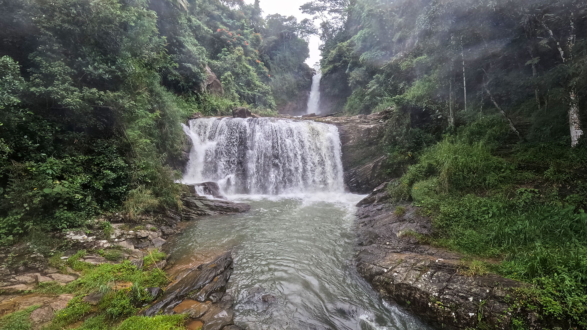

Map of Ramboda
Official Information Sources
These official references support the destination guides published for this region. Check them again for current tickets, access rules, closures and visitor notices before travel.
- Urban Development Authority - Nawalapitiya Development Plan
- Central Province Tourism Department
- Sri Lanka Department of Meteorology - Forecasts and Advisories
- Disaster Management Centre - Current Warnings
- LankaPradeepa - Puna Ella Falls (Ramboda)
- AmazingLanka - Ramboda Ella (Puna Ella) Falls
- Sri Lanka Gazette No. 1858/2 - Puna Oya and Puna Oya Branch in the Ramboda area
- Central Province Tourism Department - Ramboda Falls
- Gateway to Sri Lanka - Ramboda Falls (citing Abeywardhana, 2004)