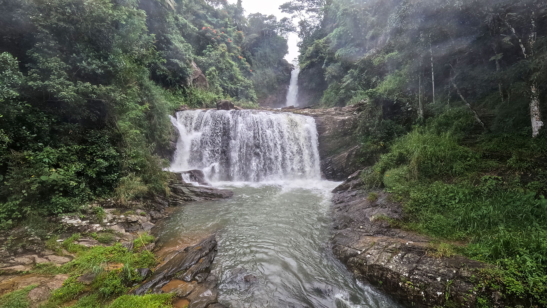
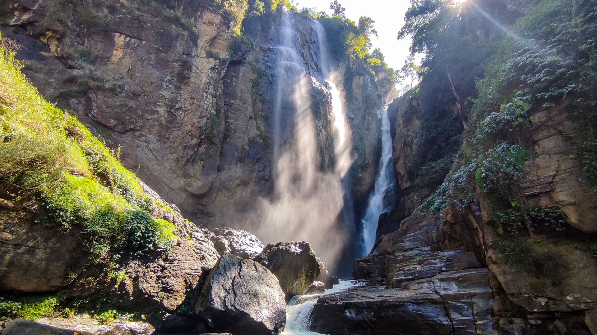
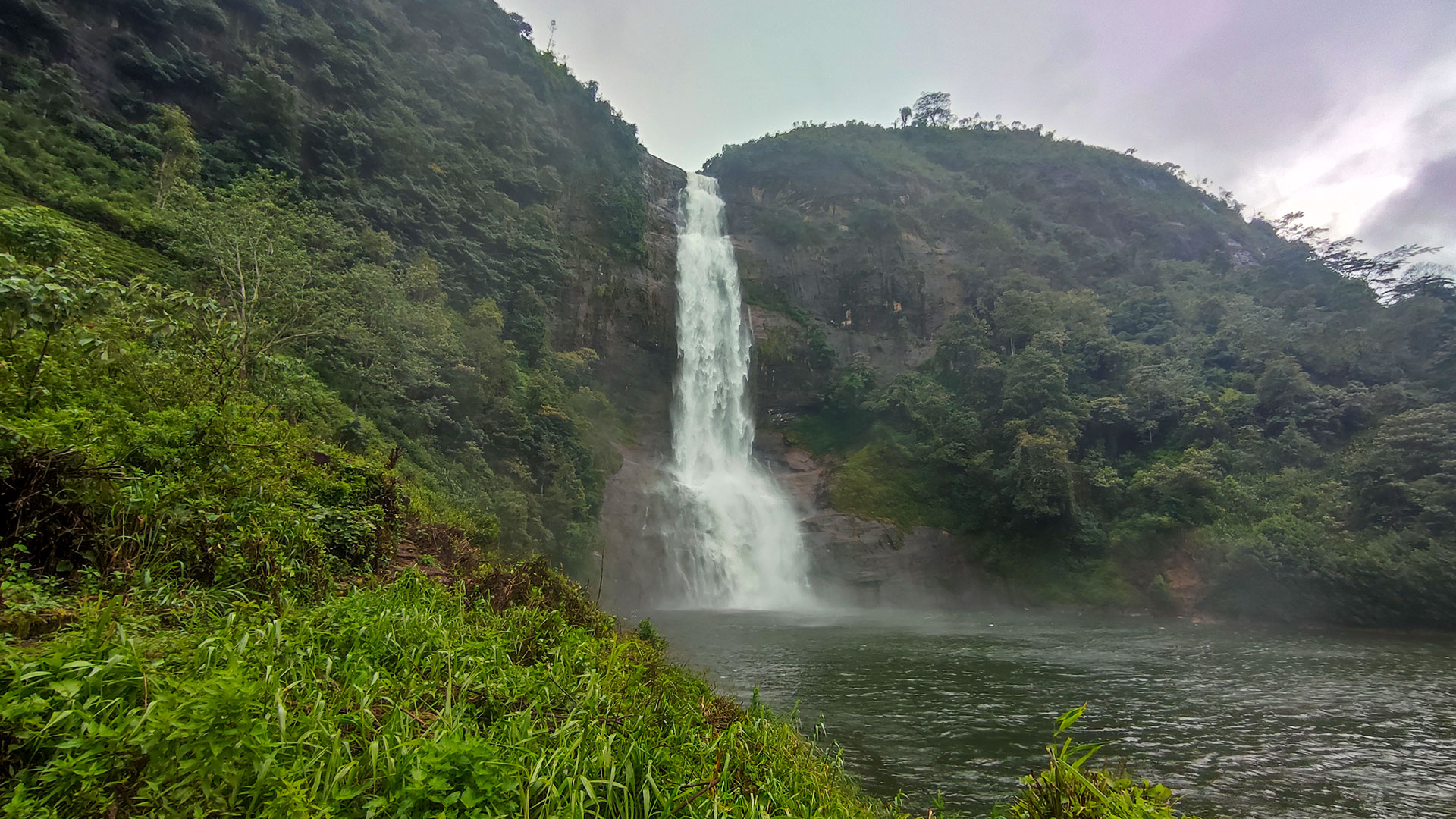
Upper Ramboda Fall
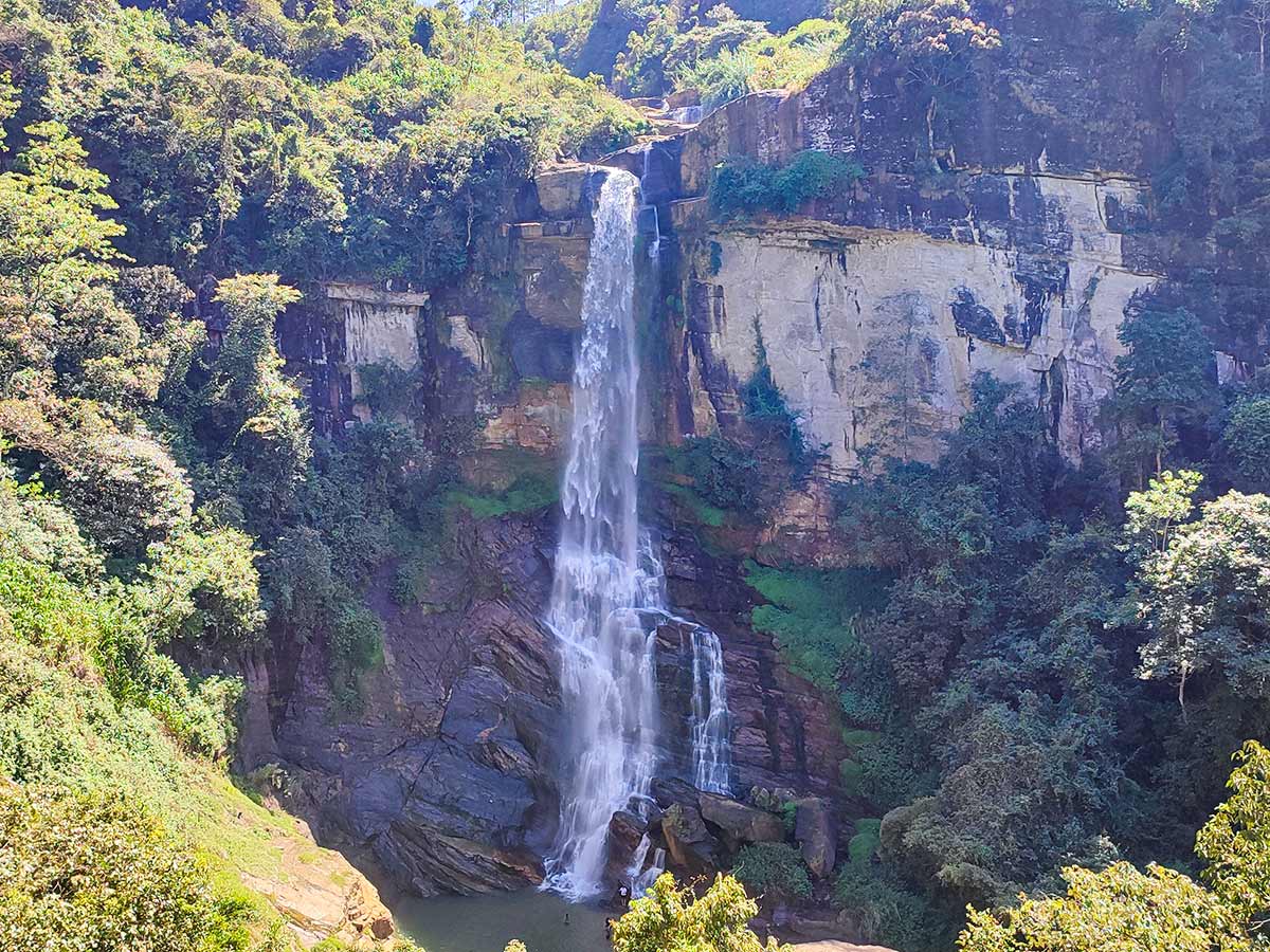
An upper waterfall reached by an uphill walking route in Ramboda, documented separately from the area's main Ramboda Falls listing.
At a glance
Plan your waterfall visit
Check access effort and viewing conditions first, then review the approach and water-safety notes.
Travel distance
Access difficulty
Best viewing conditions
Access fee
Overview
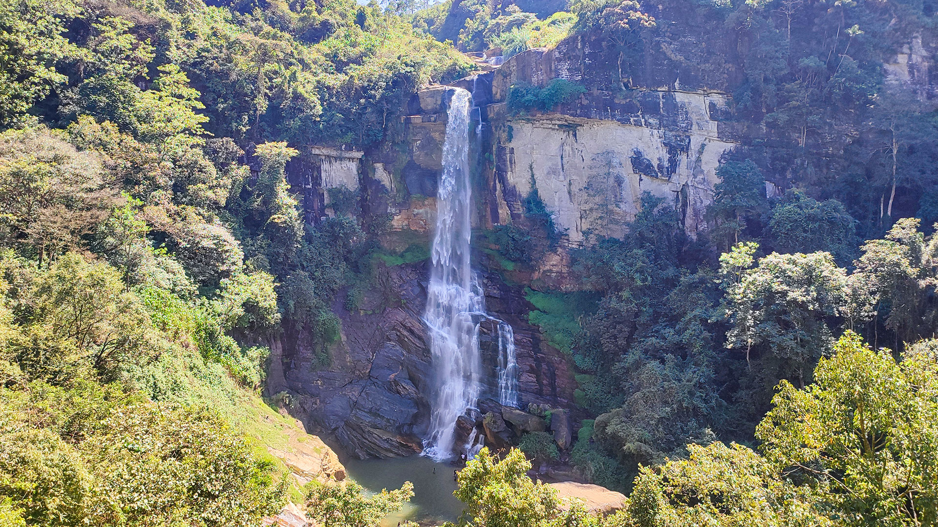
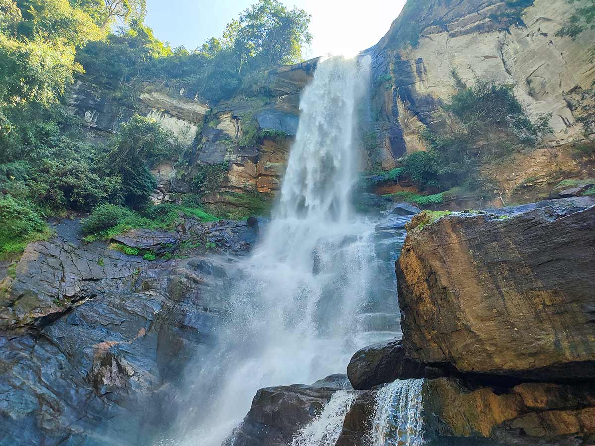
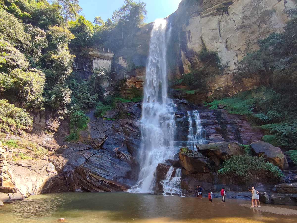
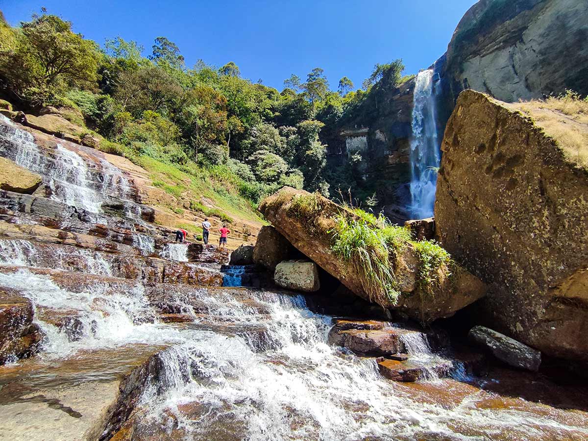
This page documents an upper waterfall access point in the Ramboda area, using the trail start, destination marker, photographs, and locally used name recorded for this guide.
An independent heritage reference identifies upper, middle and lower Ramboda falls and cites Abeywardhana's 2004 work for that description. The Central Province Tourism Department separately describes a 109-metre Ramboda Falls about 500 metres from Ramboda town, but its page does not clearly distinguish the specific upper cascade shown here from the wider Ramboda waterfall name.
Available references also conflict with older measurements previously used for this page. A specific height and walking distance are therefore omitted rather than combining figures that may describe different sections. Before visiting, confirm locally that the trail start and intended destination refer to this upper cascade, along with the current walking distance, entrance arrangement, and path condition.
The approach is uphill and includes steps that can become slippery. Allow sufficient daylight, wear suitable footwear, and postpone the walk during heavy rain, poor visibility, or unsafe local conditions.
Waterfall planning
Access and viewing conditions
Check the approach, current path conditions, and appropriate starting point before visiting.
- Viewing conditions
- Daylight hours in suitable weather, Confirm the upper-cascade trail locally
- Fees and access
- Confirm locally (Confirm the current entrance arrangement and visitor charge locally.)
Location
Ramboda, Nuwara Eliya District, Central Province
Getting to the waterfall
- From Colombo (~160 km • ~5 h)
Choose an approach
Select a marker to open that location in Google Maps.
Waterfall safety
Review these water, weather, and access notes before visiting
- Steps and uphill surfaces may become slippery after rainfall.
- Assess your fitness for the ascent and turn back before fatigue affects the return journey.
- Keep children closely supervised near steps, water, and exposed edges.
- Do not enter moving water, approach the drop, or climb wet rocks.
- Postpone the walk during heavy rain, poor visibility, or unsafe local conditions.
Travel Tips
- Confirm locally that the documented trail start leads to the intended upper cascade.
- Ask about the current walking distance, steps, entrance arrangement, and path condition before starting.
- Allow sufficient daylight and carry drinking water for the uphill walk.
- Wear footwear suitable for wet steps and uneven ground.
- Do not assume that routes to the main, centre, lower, and upper waterfalls are interchangeable.
Gallery
Practical videos
Travel guides from the road
Where to go next
Continue planning
These suggestions use reviewed itineraries, routes, and travel groupings. Map closeness alone does not prove direct road or trail access, especially across mountain terrain. Check each guide's Access section before combining stops.