Kadiyanlena Waterfall
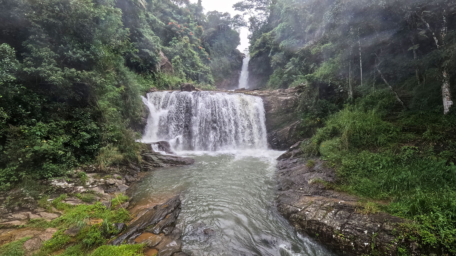
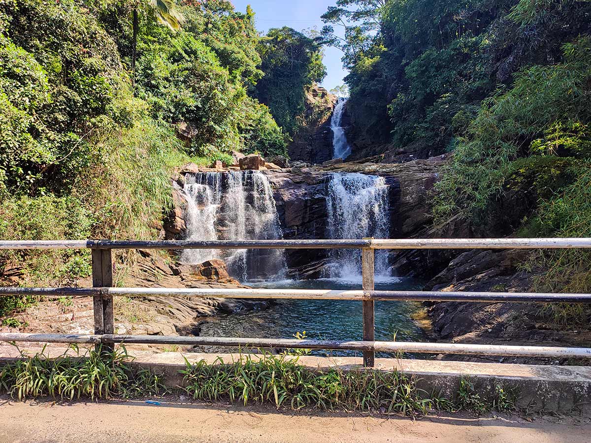
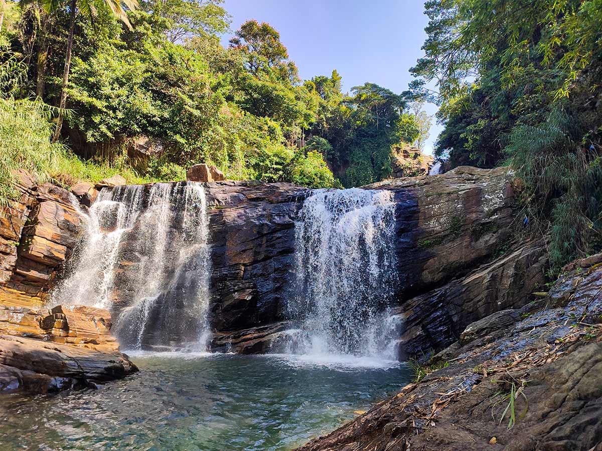
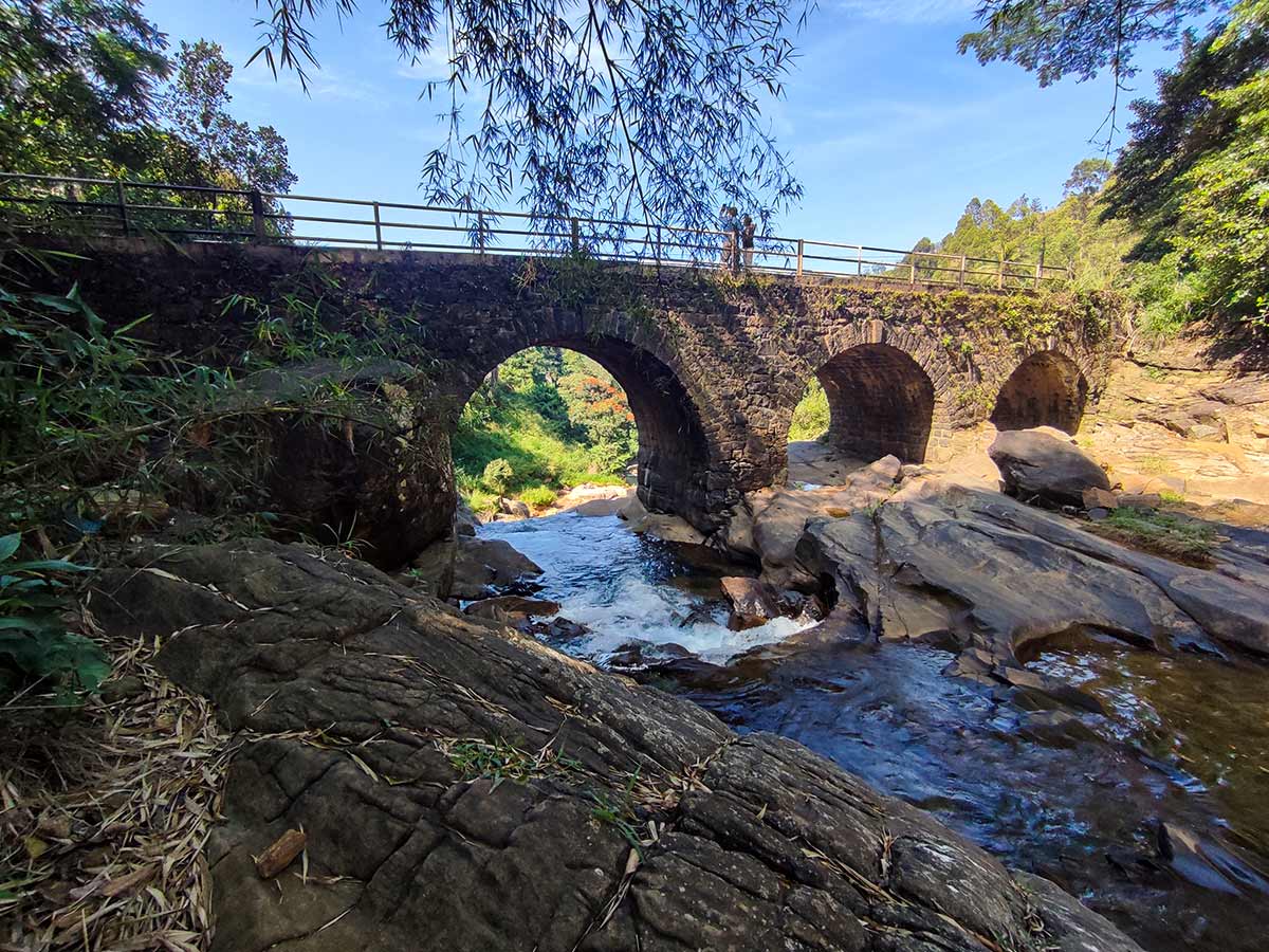
A roadside multi-level waterfall near Nawalapitiya, flowing beneath an arch bridge.
At a glance
Plan your waterfall visit
Check access effort and viewing conditions first, then review the approach and water-safety notes.
Travel distance
Access difficulty
Best viewing conditions
Access fee
Overview
Kadiyanlena Waterfall, also called Ketaboola Ella or Ketaboola Estate Falls, is recognised by the way its cascade meets the village road and arch bridge. Several levels are visible around the crossing, allowing visitors to understand the form of the fall without undertaking a forest hike.
The Nawalapitiya Development Plan identifies Kadiyanlena Falls among the waterfalls selected for the area's tourism-promotion strategy. The plan discusses future site and infrastructure improvement, but that planning recognition does not prove that formal parking, barriers, or viewing facilities are currently available. Visitors should continue to make decisions from observed roadside conditions and local instructions.
The bridge is part of the viewing scene and also the principal constraint. Traffic, bends, spray, pedestrians, and limited stopping space share a compact area. A safe visit therefore depends on legal parking and a public viewpoint, not on moving closer to the water.
Published height figures appear to refer to different portions of the cascade. This guide does not combine those figures or assign a national ranking without a dependable official survey.
Treat Kadiyanlena as a brief roadside observation stop. If a vehicle cannot be parked fully clear of traffic, continue and return only when a safe stopping arrangement is available. The lower pools and wet rock are not recommended for bathing or photography access.
Waterfall planning
Access and viewing conditions
Check the approach, current path conditions, and appropriate starting point before visiting.
- Viewing conditions
- Daylight hours in suitable weather, Confirm safe roadside conditions
- Fees and access
- Confirm locally (No dependable current official fee information was found; confirm locally.)
Location
Kadiyanlena, near Nawalapitiya, Nuwara Eliya District, Central Province
Getting to the waterfall
- From Colombo (~123 km • ~4 h)
Choose an approach
Select a marker to open that location in Google Maps.
Waterfall safety
Review these water, weather, and access notes before visiting
- Passing vehicles, bends, and limited roadside space are primary hazards.
- Wet rocks and surfaces near the cascade can be extremely slippery.
- Do not stand beneath the flow, enter the water, or climb the cascade.
- Rain can rapidly increase flow and spray across the roadside area.
- Keep children closely supervised near the bridge, road, water, and exposed edges.
Travel Tips
- Confirm current road, stopping, and water conditions before travelling.
- Stop only where parking is permitted and your vehicle does not obstruct traffic.
- Use a safe public viewing position rather than standing in the carriageway or on an exposed bridge edge.
- Visit with sufficient daylight and avoid the site during heavy rain or poor visibility.
Gallery
Where to go next
Continue planning
These suggestions use reviewed itineraries, routes, and travel groupings. Map closeness alone does not prove direct road or trail access, especially across mountain terrain. Check each guide's Access section before combining stops.