Kotmale Reservoir Observation Point
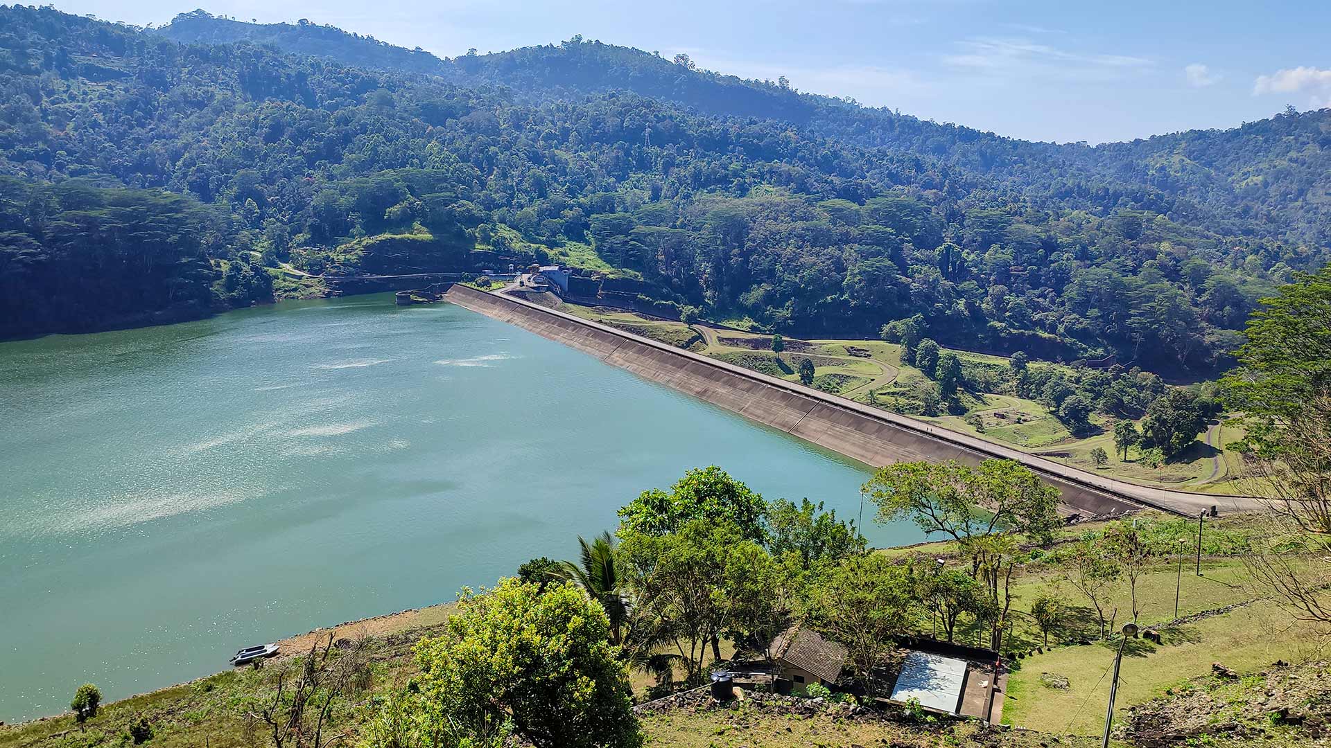
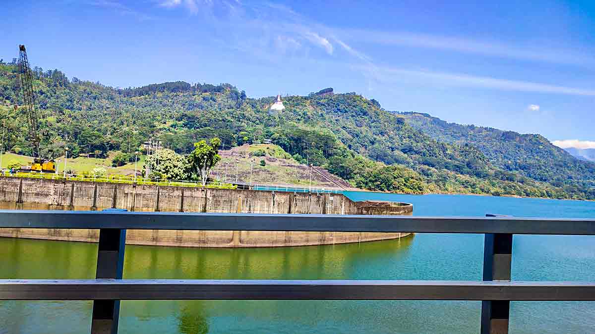
A roadside observation point with elevated views of Kotmale Reservoir, its dam and the surrounding highland landscape.
At a glance
Plan your viewpoint visit
Check access effort and visibility conditions first, then review the safest available approach.
Travel distance
Access effort
Best visibility
Access fee
Overview
The Kotmale Reservoir Observation Point sits above the Kotmale Dam on the Kotmale Oya river in the Nuwara Eliya District, part of the Mahaweli Development Programme that transformed Sri Lanka's highland hydrology in the 1980s.
From the observation point, visitors can see the reservoir, dam structure and forested mountain slopes. Water colour and the amount of infrastructure visible change with weather, light and reservoir level, so they should not be treated as guaranteed features of every visit.
Kotmale Reservoir and Upper Kotmale are separate hydropower schemes. The Mahaweli Authority lists them as separate reservoirs, while Ceylon Electricity Board records place the Upper Kotmale dam near Talawakelle. This viewpoint concerns Kotmale Reservoir, developed under the Mahaweli programme.
The observation point is accessible directly from the road and requires no hiking. It offers a quick but genuinely impressive stop on any journey between Kandy and Nuwara Eliya, or as a detour on the route toward Gampola or Nawalapitiya.
The nearby Kadadora Viewing Centre is also the turn used for Mahaweli Maha Seya. Only use that name for this exact stop when local signs confirm it, and always obey restrictions around operational dam infrastructure.
Viewpoint planning
Access and visibility planning
Check visibility, current access conditions, and the appropriate approach before travelling.
- Visibility and conditions
- Clear daylight, When roadside stopping is safe
- Fees and access
- Confirm locally (Current public access and any charge are not reliably published. Follow local signs and staff instructions.)
Location
Kotmale, Nuwara Eliya District, Central Province
Getting to the viewpoint
- From Colombo (~140 km • ~4:30 h via Kandy and Gampola)
Choose an approach
Select a marker to open that location in Google Maps.
Viewpoint safety
Review these access and viewpoint notes before visiting
- Stay behind any barriers near the dam structure.
- Road parking near the viewpoint can be limited — pull fully off the road.
- Do not enter restricted dam facility areas.
Travel Tips
- Choose clear daylight and allow flexible time for safe roadside stopping.
- Check local signs before parking or entering any viewing area.
- Look for the white stupa on the hill above the dam — a distinctive landmark.
- Mahaweli Maha Seya is a separate nearby destination reached from the Kadadora area.
Gallery
Where to go next
Continue planning
These suggestions use reviewed itineraries, routes, and travel groupings. Map closeness alone does not prove direct road or trail access, especially across mountain terrain. Check each guide's Access section before combining stops.