Pidurutalagala (Mount Pedro)
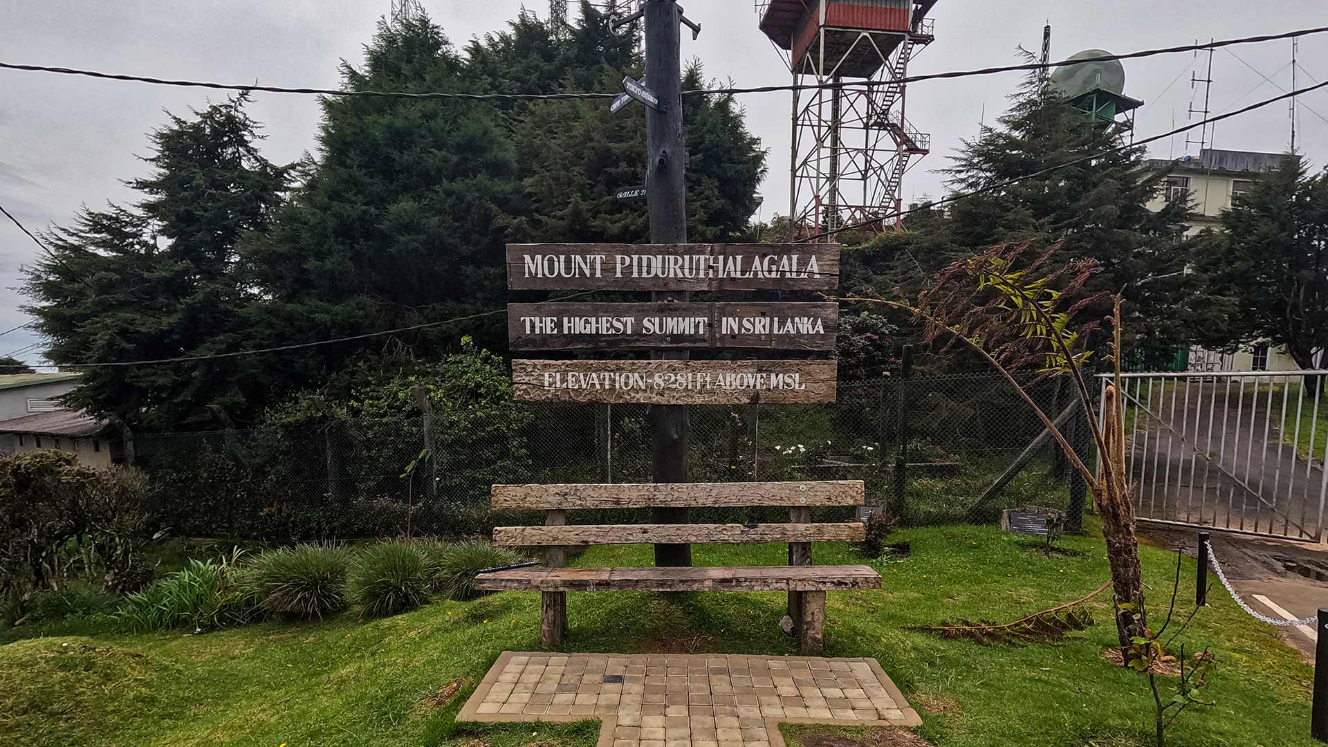
Sri Lanka's highest mountain at 2,524 m, with access beyond the lower road dependent on current checkpoint restrictions.
At a glance
Plan your viewpoint visit
Check access effort and visibility conditions first, then review the safest available approach.
Travel distance
Access effort
Best visibility
Access fee
Overview
Pidurutalagala, also known as Mount Pedro, is the highest mountain in Sri Lanka, rising to an elevation of 2,524 metres above sea level. Located just north of Nuwara Eliya, the mountain dominates the surrounding central highlands and is one of the most significant geographical landmarks in the country.
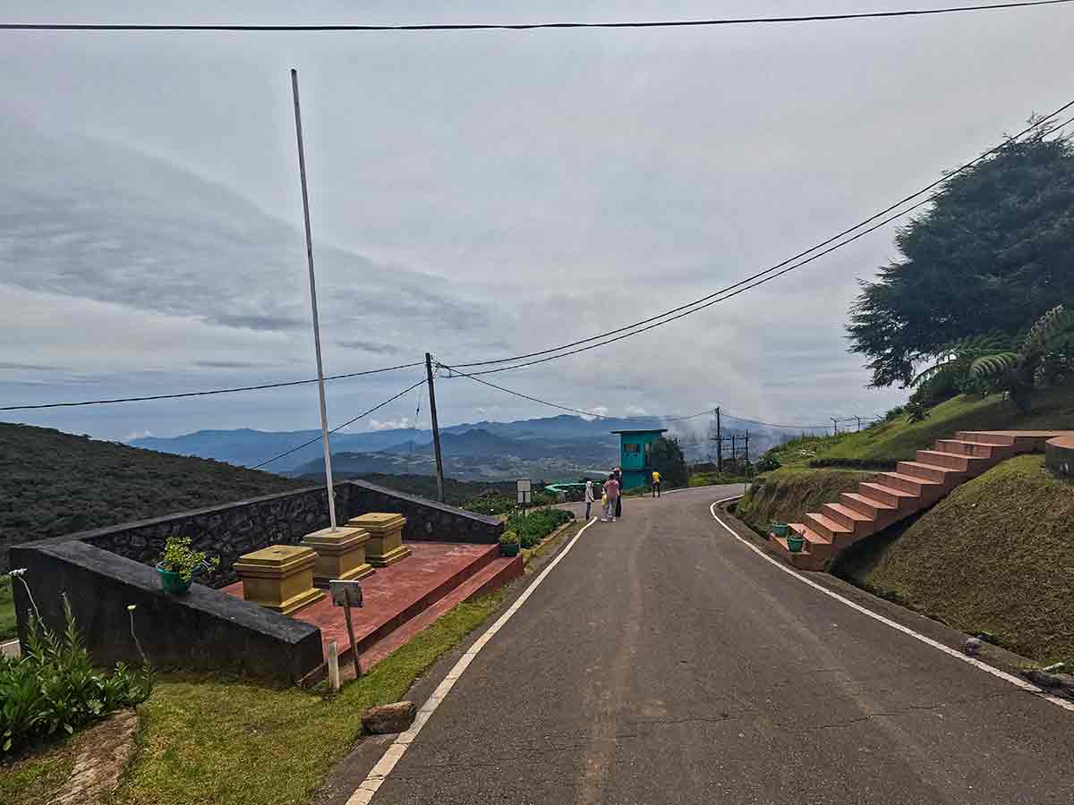
An access road climbs through forested slopes toward the upper mountain, but the existence of that road does not guarantee public access. Checkpoint rules, security restrictions, weather, and temporary closures can determine how far visitors may travel on a particular day.
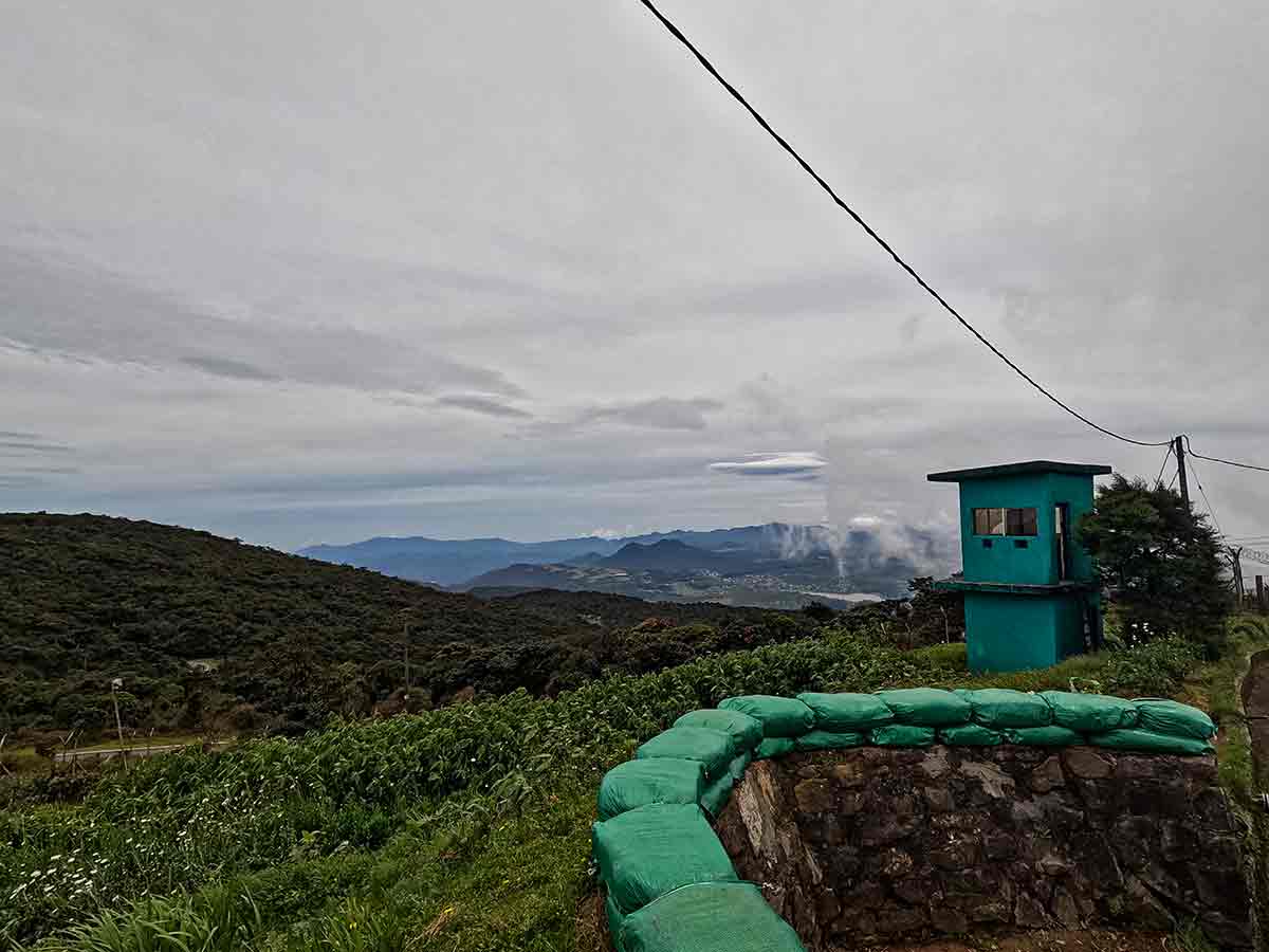
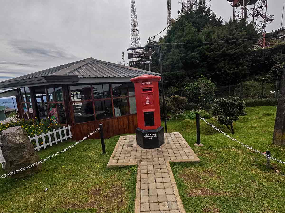
The summit area contains restricted installations. Visitors must stop wherever current checkpoint staff direct and should not assume that a particular viewpoint or upper section is open. Views depend on cloud, mist, and the access allowed that day.
The dedicated Central Province Tourism page confirms the mountain's 2,524-metre elevation and its location about 7 kilometres from Nuwara Eliya. Those facts identify the destination, but they do not publish a standing right of public summit access; checkpoint instructions remain the deciding information for a visit.
Due to its elevation, temperatures at Pidurutalagala are significantly cooler than most parts of Sri Lanka, often accompanied by strong winds and dense mist. The experience is less about hiking and more about reaching Sri Lanka's highest accessible point by vehicle and enjoying the unique highland environment.
Viewpoint planning
Access and visibility planning
Check visibility, current access conditions, and the appropriate approach before travelling.
- Visibility and conditions
- Clear daylight in suitable weather, Only when checkpoint access is confirmed
- Fees and access
- Access is checkpoint-controlled and may be restricted. Confirm whether visitors are currently admitted, what identification is required, and whether any charge applies before travelling.
Location
Pidurutalagala Road, Nuwara Eliya, Central Province
Getting to the viewpoint
- From Colombo (~165 km • ~6 h)
Choose an approach
Select a marker to open that location in Google Maps.
Viewpoint safety
Review these access and viewpoint notes before visiting
- Access beyond the designated viewpoint is restricted due to military installations.
- Strong winds and sudden weather changes are common at high altitude.
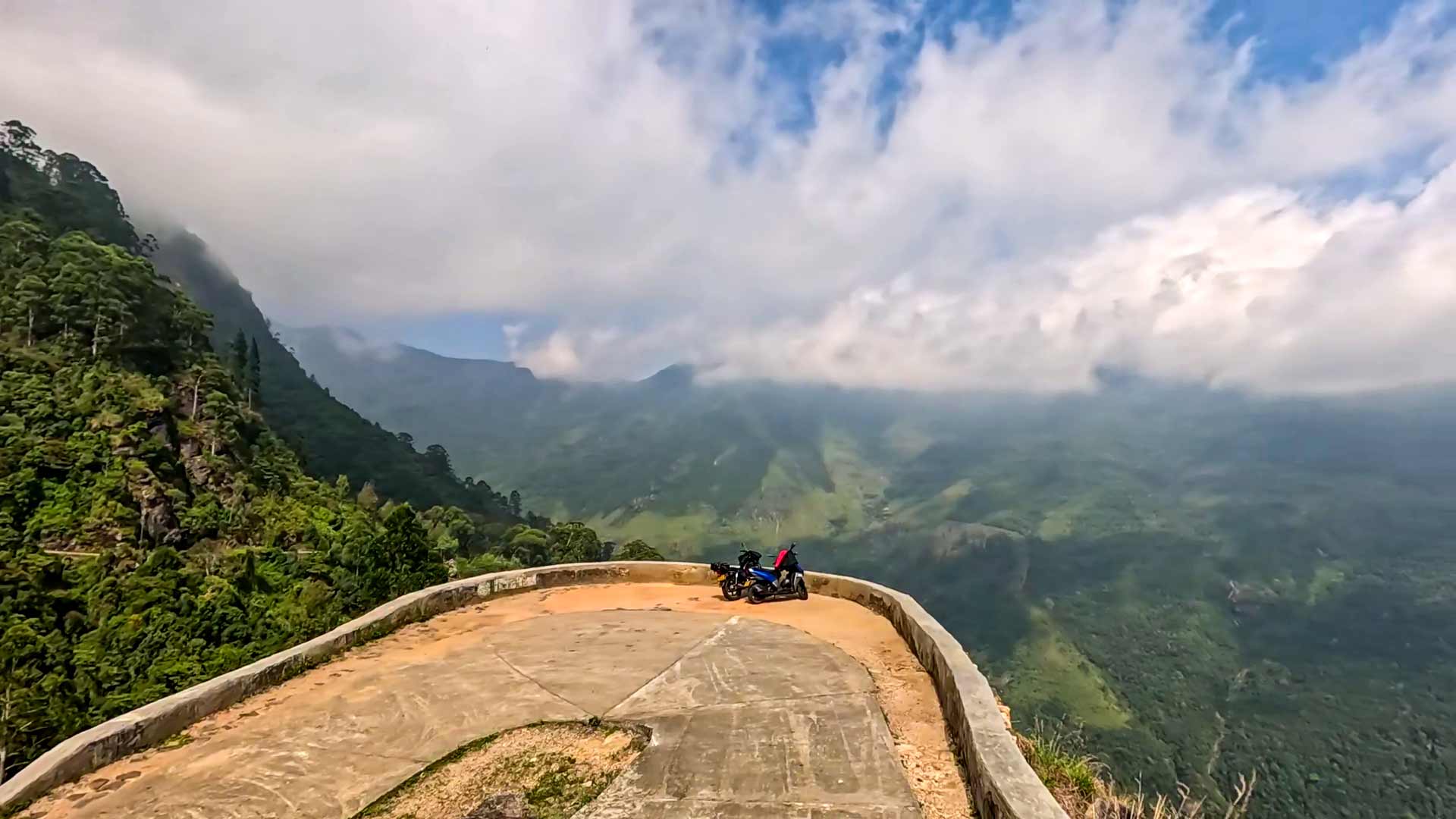
- Road can be narrow and misty - drive carefully.
- Avoid visiting during heavy rain due to poor visibility and slippery conditions.
Travel Tips
- Visit in the morning for clearer views - mist often covers the summit later in the day.
- Carry warm clothing - temperatures can be significantly lower than Nuwara Eliya town.
- Follow all instructions at the military checkpoint.
- Combine your visit with Nuwara Eliya attractions for a full-day trip.
- Check weather conditions before visiting as visibility can be limited.
Gallery
Where to go next
Continue planning
These suggestions use reviewed itineraries, routes, and travel groupings. Map closeness alone does not prove direct road or trail access, especially across mountain terrain. Check each guide's Access section before combining stops.