Baker's Bend
A horseshoe-shaped bend on the steep Nonpareil Estate road, with wide highland views when weather and access conditions allow.
At a glance
Plan your viewpoint visit
Check access effort and visibility conditions first, then review the safest available approach.
Travel distance
Access effort
Best visibility
Access fee
Overview
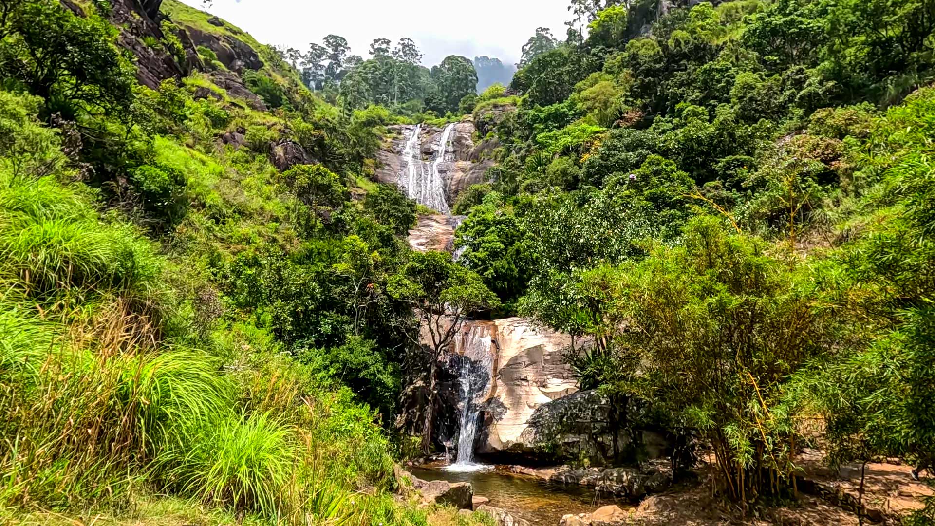
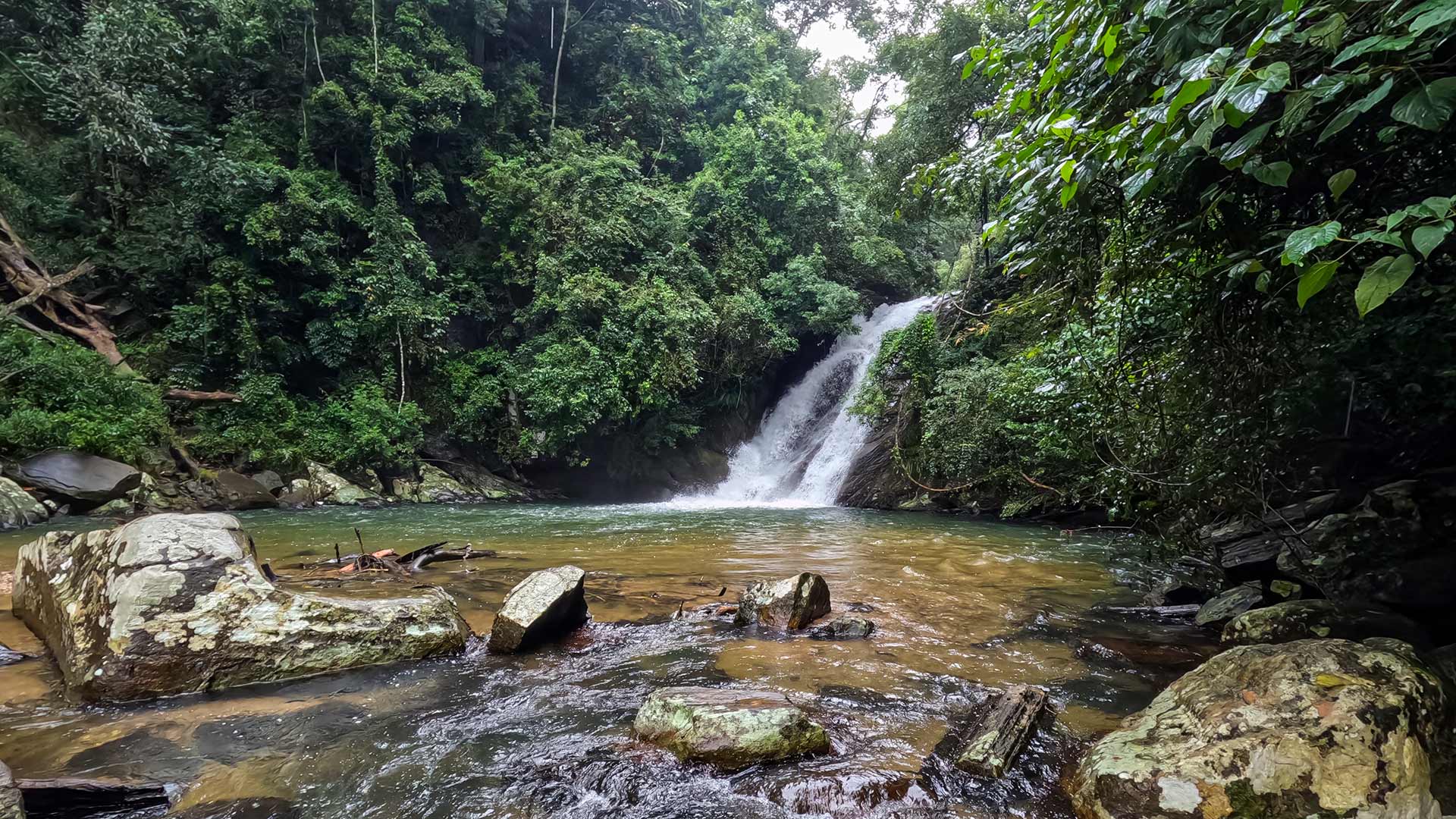
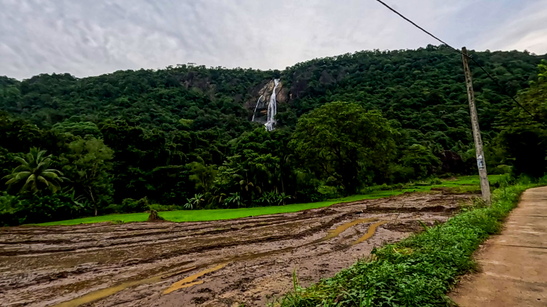
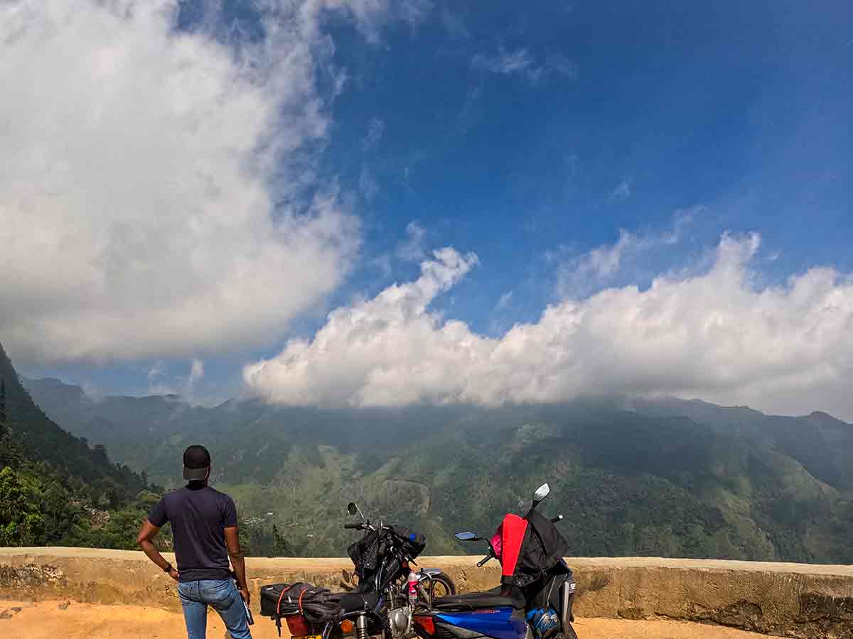
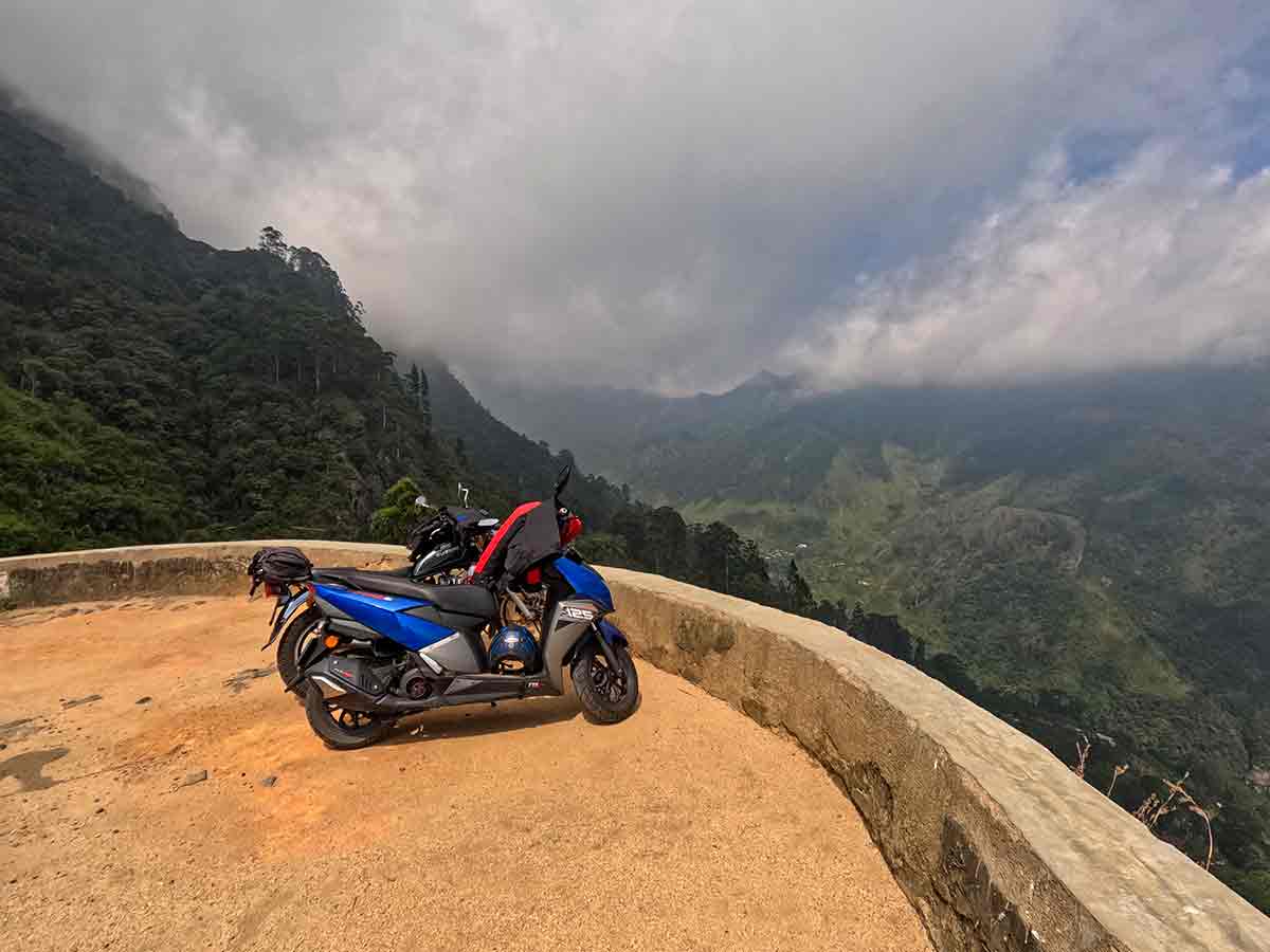
Baker's Bend is a horseshoe-shaped bend on the route through Nonpareil Estate near Belihuloya in Ratnapura District. A Sabaragamuwa University publication identifies the bend as a feature of the Nonpareil Estate route, which passes through a wider landscape of tea cultivation, streams, waterfalls, steep slopes, and mountain scenery.
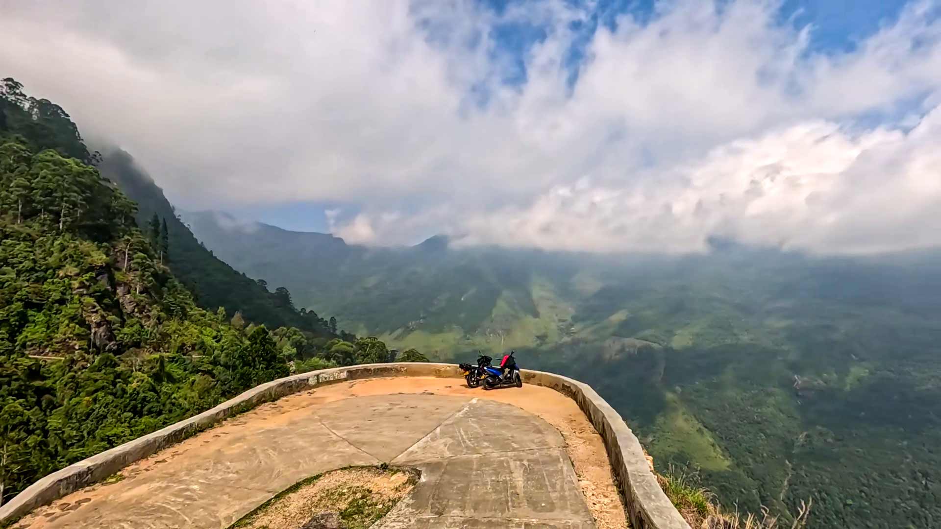
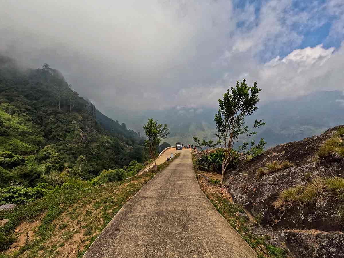
The journey along the estate road is part of the experience. The road climbs through repeated bends before reaching the open curve, where clear conditions can reveal layered ridges, estate land, valleys, and lower country. Cloud and mist can close that view quickly, so photographs naming particular distant landmarks should not be treated as a promise of what will be visible.
Nonpareil remains a working estate rather than an unrestricted scenic road. Permission, permitted travel modes, vehicle suitability, opening conditions, and the usable road surface can change. Confirm these directly before entering and follow instructions from authorised estate staff throughout the visit.
The bend itself is exposed and does not provide the protections of a managed viewing platform. Keep away from the drop, do not block the narrow road, and allow working vehicles and residents to pass. Heavy rain, loose surfaces, strong wind, and poor visibility can make both the ascent and return unsafe.
Do not continue beyond the permitted estate area or treat this road as an alternative entrance to Horton Plains National Park. Stories explaining the name Baker's Bend vary locally; without a dependable historical record, this guide treats them as oral tradition rather than established fact.
Viewpoint planning
Access and visibility planning
Check visibility, current access conditions, and the appropriate approach before travelling.
- Visibility and conditions
- Suitable-weather daylight hours, Confirm current estate access
- Fees and access
- Confirm locally (Nonpareil Estate permission is required. Confirm current visitor charges, permitted travel mode, and opening conditions directly before visiting.)
Location
Nonpareil Estate, Belihuloya, Ratnapura District, Sabaragamuwa Province
Getting to the viewpoint
- From Colombo (~157 km • ~5 h)
Choose an approach
Select a marker to open that location in Google Maps.
Viewpoint safety
Review these access and viewpoint notes before visiting
- Road is steep, narrow, and has sharp bends - drive cautiously.
- No safety barriers at the viewpoint edge.
- Avoid traveling during heavy rain due to slippery conditions.
- Do not attempt to enter restricted areas toward Horton Plains.
Travel Tips
- Visit with enough daylight and check the forecast, but remember that clear views are never guaranteed.
- Confirm current mist, rain, road, and access conditions before entering the estate.
- Use only the travel mode and vehicle type currently permitted and recommended by the estate.
- Combine with Hawagala hike and Nonpareil Estate Falls.
- Carry water and essentials - no facilities along the route.
Scenic video
Experience the destination
Gallery
Where to go next
Continue planning
These suggestions use reviewed itineraries, routes, and travel groupings. Map closeness alone does not prove direct road or trail access, especially across mountain terrain. Check each guide's Access section before combining stops.