Diyavini Ella Falls
A remote jungle waterfall near Kaltota in Ratnapura District, also known as Diyawini Ella, reached through the wider temple and forest landscape.
At a glance
Plan your waterfall visit
Check access effort and viewing conditions first, then review the approach and water-safety notes.
Travel distance
Access difficulty
Best viewing conditions
Access fee
Overview
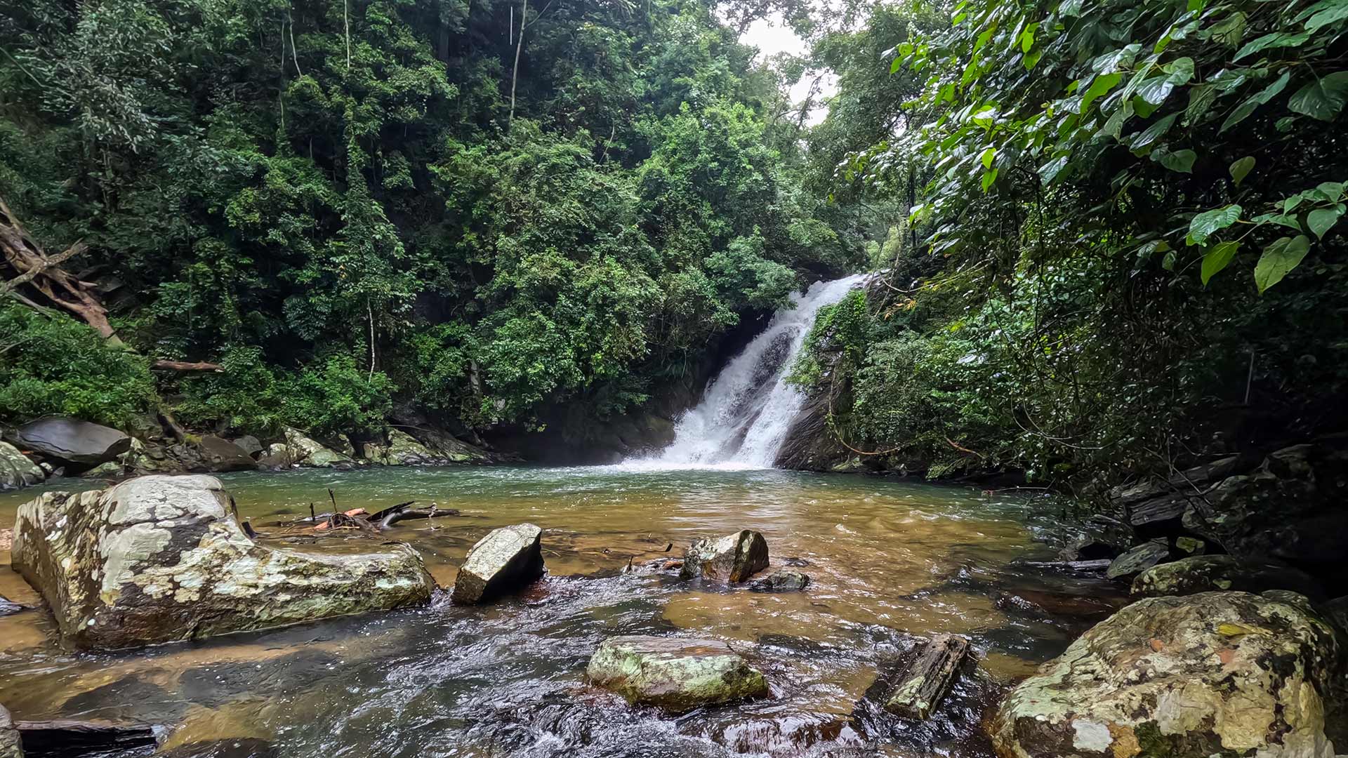
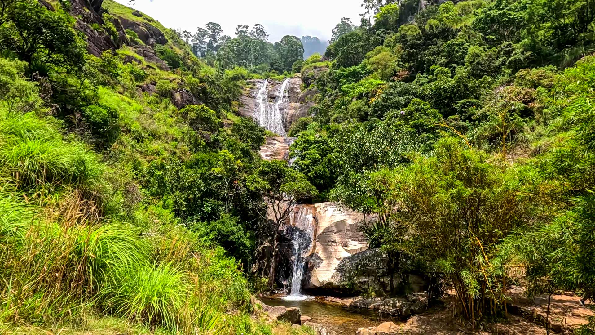
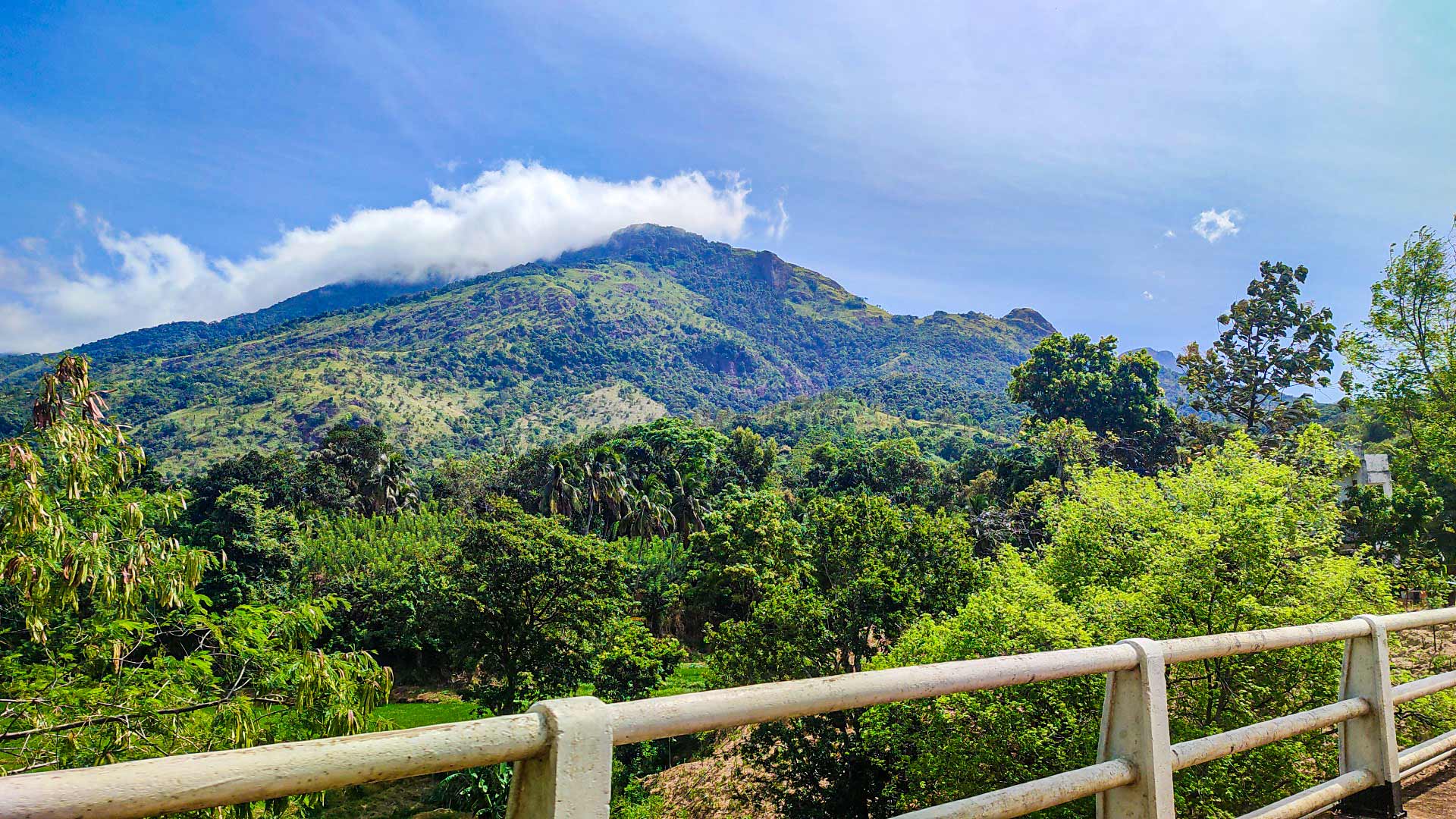
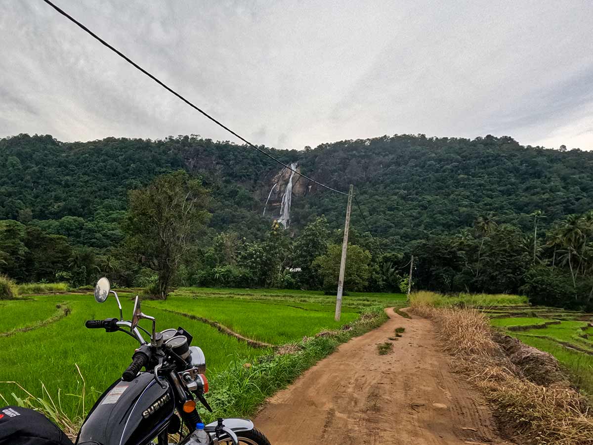
Diyavini Ella Falls, also written as Diyawini Ella, descends through the Diyavinna landscape of Ratnapura District. Sabaragamuwa Provincial Tourism places it in Diyavinna village and describes the cascade as flowing down the mountain range known locally as Diyavinna Mountain.
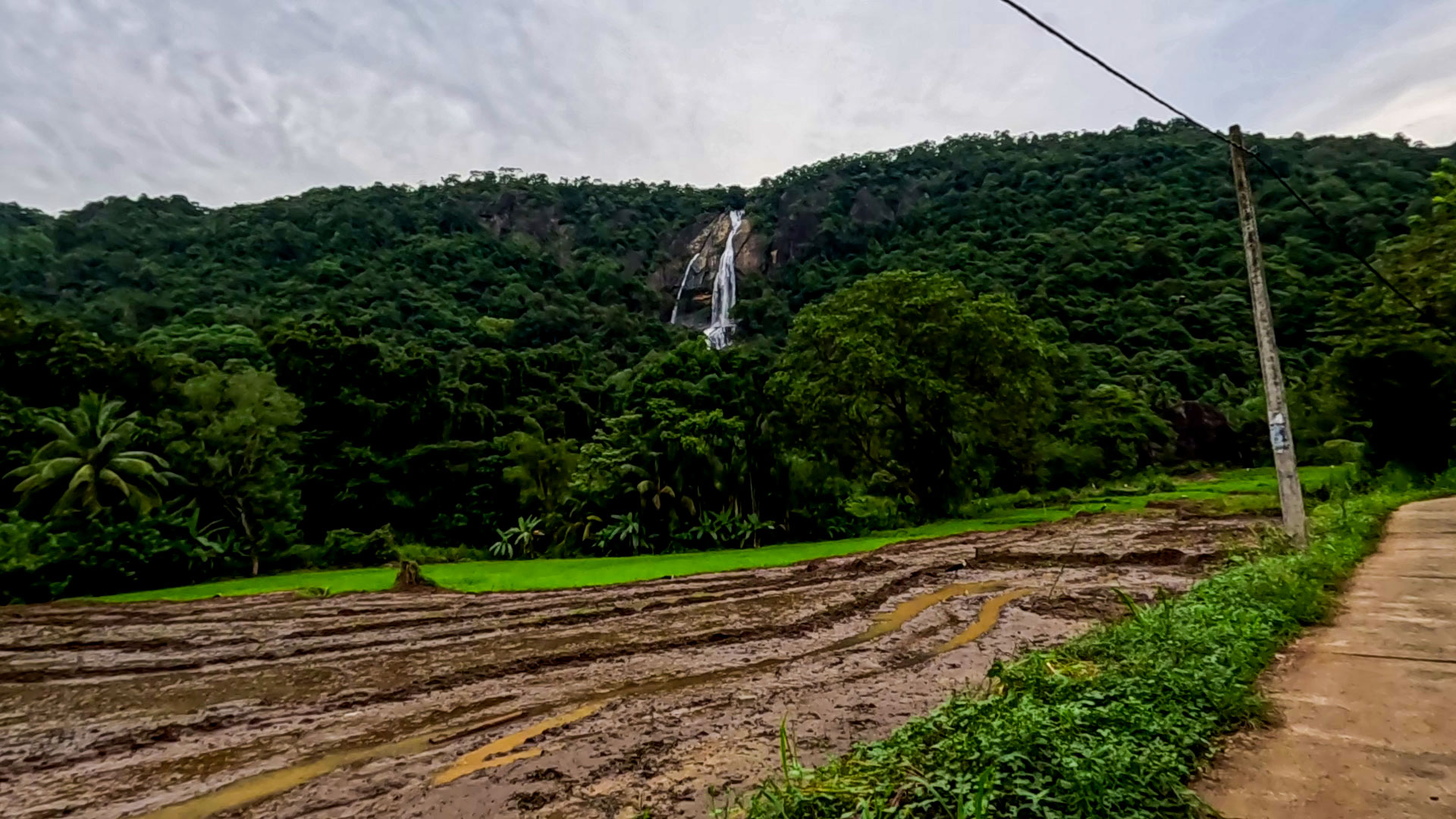
The provincial account traces the water from the Kahatapitiya area through several villages before Katupath Oya drops as Diyavini Falls. The stream is described as part of the Walawe River system and as eventually meeting the Udawalawe reservoir. From suitable parts of the reservoir landscape, the waterfall may be visible at a distance when weather and vegetation allow.
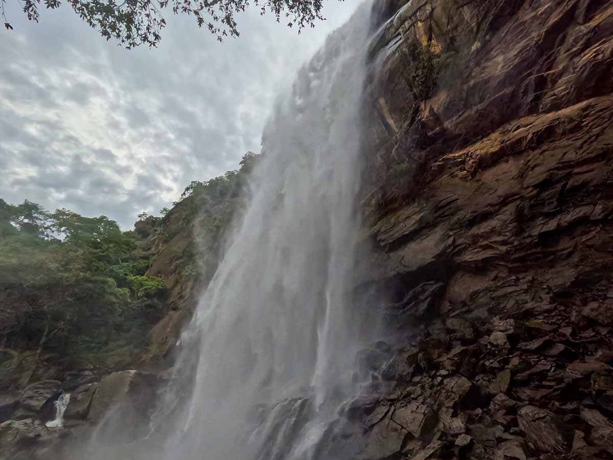
Provincial Tourism reports a height of about 63 metres, while other published references give different measurements. This guide therefore treats the height as an approximate published estimate rather than a surveyed figure. The same official account explains the name through the appearance of a vertical stake or column of water.
Diyavini Rajamaha Viharaya is identified by the provincial source as being adjacent to the waterfall. Its claimed royal origin and the reported cobra symbol visible on the cascade in drier conditions belong to the area's recorded local tradition; visitors should not climb the rock or disturb any religious, archaeological, or natural feature in an attempt to inspect them.
A close approach is not equivalent to the distant view. It enters forested, uneven terrain where recent rain, stream levels, daylight, route clarity, and the return journey all matter. Confirm the permitted approach at the temple or with a knowledgeable local guide before entering, and turn back if the route, weather, water level, or remaining daylight becomes uncertain.
Waterfall planning
Access and viewing conditions
Check the approach, current path conditions, and appropriate starting point before visiting.
- Viewing conditions
- Suitable-weather daylight hours, Confirm the current forest approach locally
- Fees and access
- Free (No reliable official public fee schedule is available. Confirm access and any local arrangement at the nearby temple before starting.)
Location
Kaltota, Ratnapura District, Sabaragamuwa Province
Getting to the waterfall
- From Colombo (~153 km • ~4:20 h)
Choose an approach
Select a marker to open that location in Google Maps.
Waterfall safety
Review these water, weather, and access notes before visiting
- Rocks near the waterfall are slippery, especially during rainy periods.
- Avoid climbing wet rock surfaces.
- Leeches may be present after rainfall.
- Mobile signal can be weak in forest areas.
- Supervise children carefully near the waterfall edge.
Travel Tips
- Confirm the permitted forest approach and current conditions at Diyavini Rajamaha Viharaya or with a knowledgeable local guide before starting.
- Wear footwear suited to wet, uneven ground and postpone the close approach after heavy rain or when stream levels are high.
- Carry sufficient water, rain protection, and basic supplies because facilities and mobile coverage may be limited.
- Begin with enough daylight for a conservative return and do not depend on the map pin alone for navigation.
- Respect the temple and do not touch, climb, mark, or remove anything from religious, archaeological, or natural surroundings.
Gallery
Where to go next
Continue planning
These suggestions use reviewed itineraries, routes, and travel groupings. Map closeness alone does not prove direct road or trail access, especially across mountain terrain. Check each guide's Access section before combining stops.