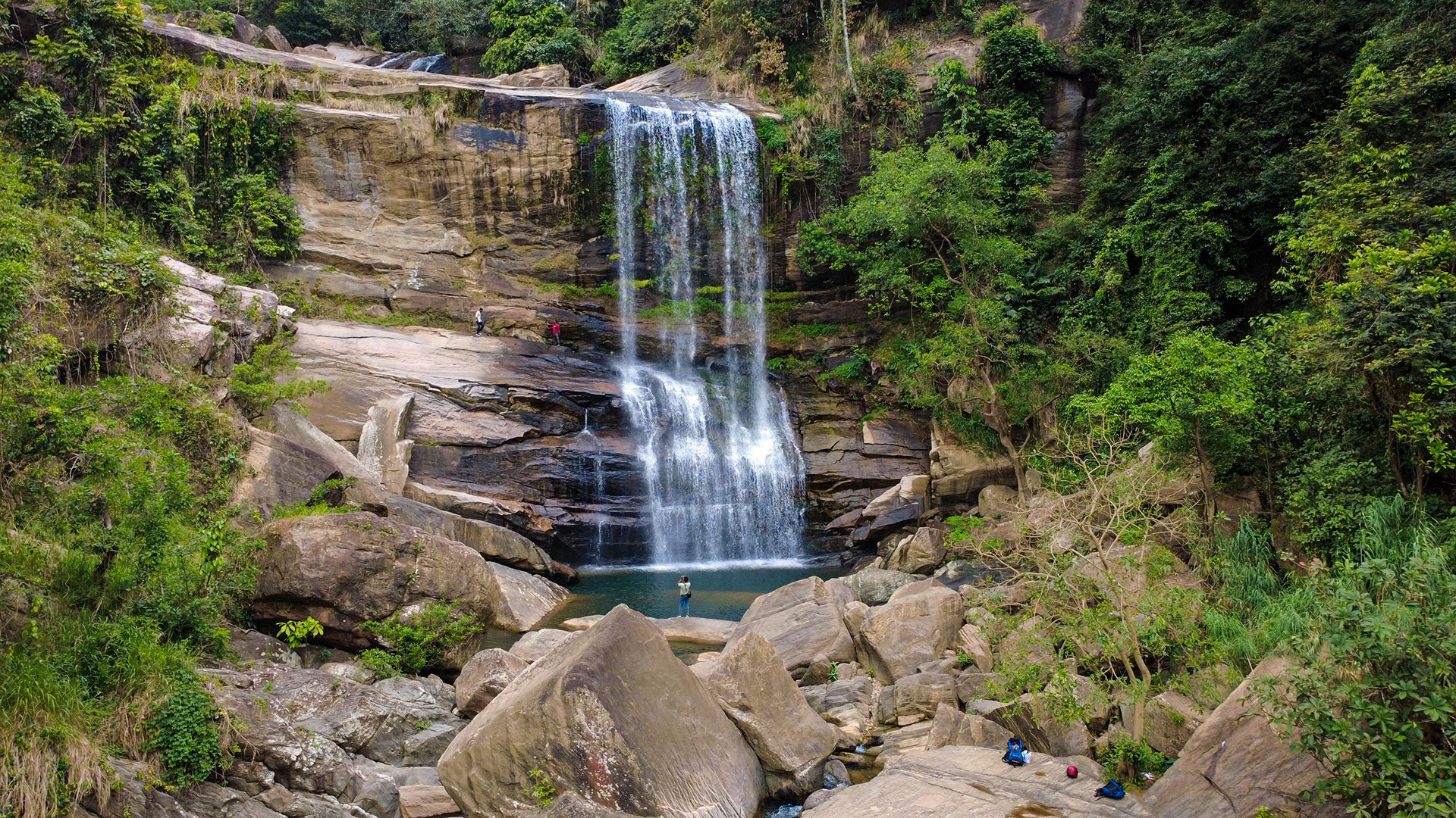
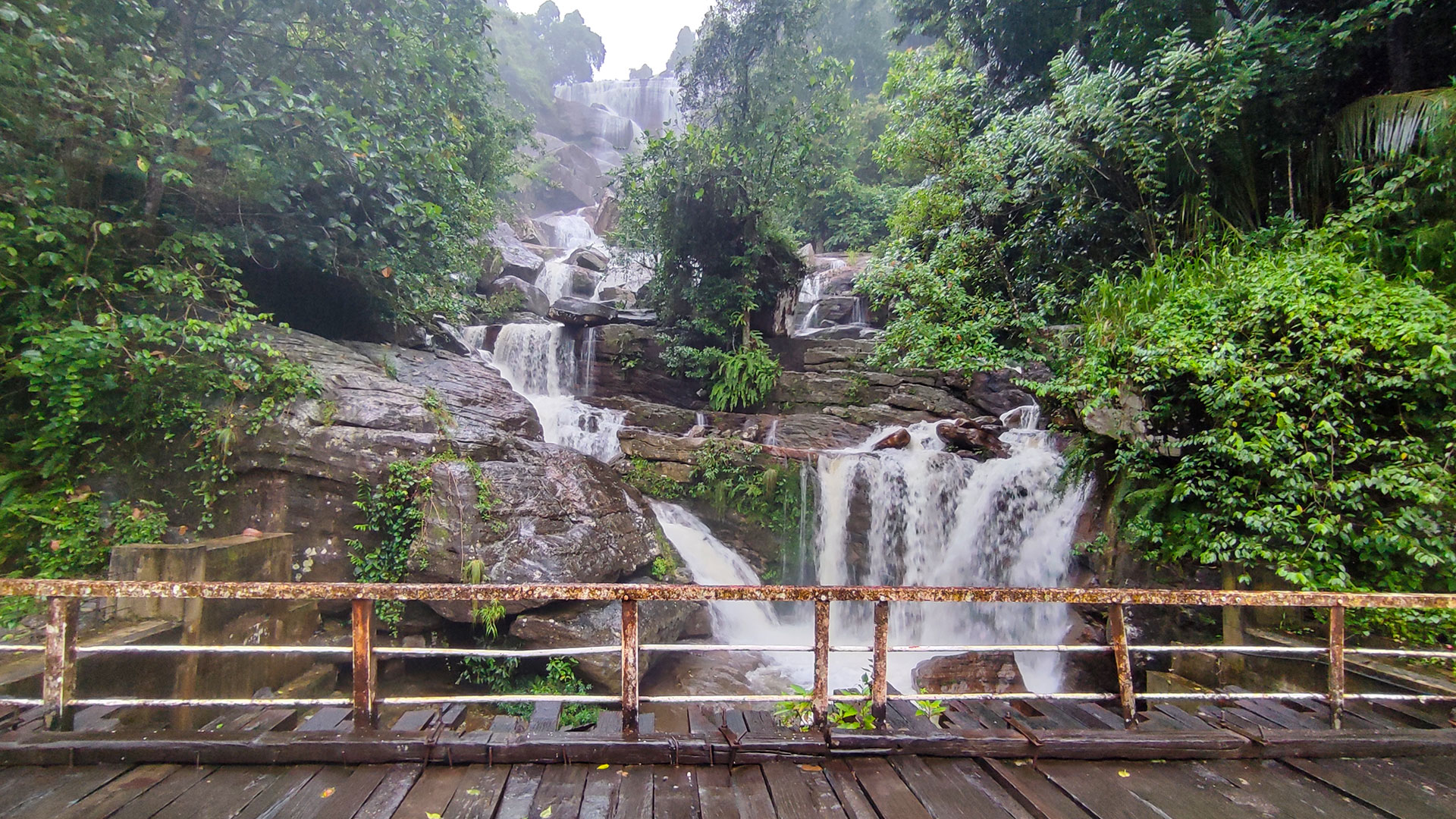
Asupini Ella Waterfall
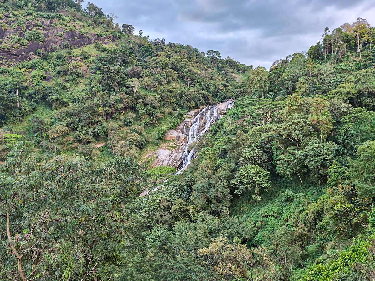
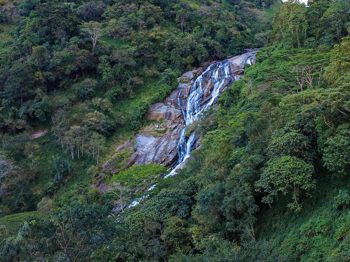
A waterfall in Kegalle District near Aranayaka, reached through rural hill-country roads and associated with local folklore.
At a glance
Plan your waterfall visit
Check access effort and viewing conditions first, then review the approach and water-safety notes.
Travel distance
Access difficulty
Best viewing conditions
Access fee
Overview
Asupini Ella is a waterfall in Kegalle District near Aranayaka. Sri Lanka Tourism lists it as a main waterfall of the district, while an official environmental and social plan for the Aranayaka area also identifies the fall as a locally visited place connected with a royal legend.
Those government references establish the district and local importance, but they do not provide a dependable public specification for the height, pool depth, visitor facilities, or a single permanent final approach. This guide therefore avoids repeating precise measurements and treats the route as something that must be confirmed shortly before the visit.
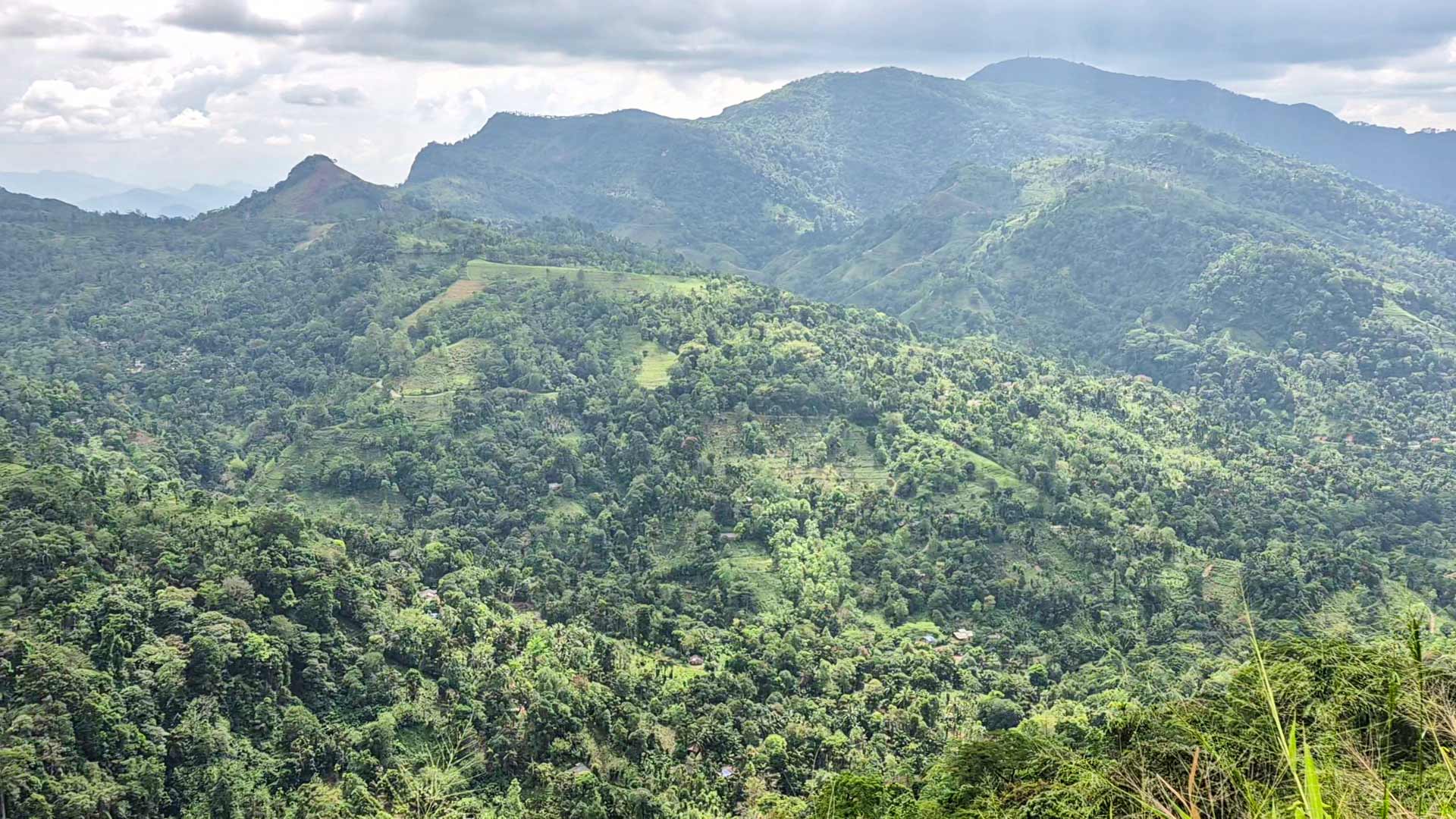
The experience begins on rural hill-country roads before the final movement toward the waterfall. Road surface, vehicle suitability, land access, and the usable footpath can change after rain or local work. Confirm the same trail start and safe viewpoint shown in this guide with local residents or a knowledgeable local guide rather than following the waterfall coordinate through private land or steep ground.
Local stories connect Asupini Ella with a royal tragedy. Details vary between retellings, so they should be understood as folklore rather than verified history. Visitors should avoid presenting one modern version as a proven account or disturbing the area in search of features associated with it.
The pool and falling-water area are natural and uncontrolled. Rain elsewhere in the catchment can change flow, spray, footing, and the safe viewing distance. Wet rock, steep ground, concealed depth, and current make appearance a poor test of safety. View from stable ground and do not bathe or swim here.
Reliable current public information about opening arrangements, visitor fees, facilities, and emergency support was not available during review. Carry what you need, leave enough daylight for the return, and postpone the trip when the route or weather cannot be confirmed.
Waterfall planning
Access and viewing conditions
Check the approach, current path conditions, and appropriate starting point before visiting.
- Viewing conditions
- Daylight hours in suitable weather, Confirm current access conditions
- Fees and access
- Confirm locally (No reliable official public fee information was found.)
Location
Near Aranayaka, Kegalle District, Sabaragamuwa Province
Getting to the waterfall
- From Colombo (~106 km • ~4 h)
- From Kandy (~38 km • ~1:30 h)
Choose an approach
Select a marker to open that location in Google Maps.
Waterfall safety
Review these water, weather, and access notes before visiting
- Treat the plunge-pool area, wet rocks, and steep ground as hazardous; remain well back from exposed edges and fast-moving water.
- Rain upstream can change water flow and make the approach slippery even when conditions at the waterfall initially appear manageable.
- Do not enter the water based on appearance or informal swimming claims.
- For a first visit, use current local directions or a knowledgeable local guide and share your route plan with a trusted contact.
Travel Tips
- Confirm the current final access route, road condition, and any local restrictions shortly before travelling.
- Ask locally which vehicle types are suitable for the current approach and whether a knowledgeable local guide is advisable.
- Visit with sufficient daylight and postpone the trip during heavy rain or when local advice indicates unsafe conditions.
- Wear footwear suited to wet, uneven ground and carry drinking water and rain protection.
- Do not bathe or swim at the waterfall.
Gallery
Where to go next
Continue planning
These suggestions use reviewed itineraries, routes, and travel groupings. Map closeness alone does not prove direct road or trail access, especially across mountain terrain. Check each guide's Access section before combining stops.