Palampitiya Viewpoint (Dedugala)
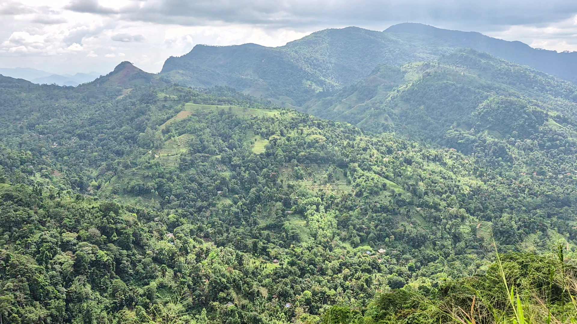
A constructed roadside viewing platform on the Dedugala-Dolosbage road, overlooking a steep green valley and layered mountain ridges.
At a glance
Plan your viewpoint visit
Check access effort and visibility conditions first, then review the safest available approach.
Travel distance
Access effort
Best visibility
Access fee
Overview
Palampitiya Viewpoint is a constructed scenic stop on the mountain road linking Dedugala and Dolosbage in Kegalle District. It is a roadside viewpoint rather than a summit or hiking destination. A supporting travel reference places it on a hairpin bend about 7.5 km beyond Dedugala and describes an extended viewing platform and designated stopping space. The Department of Census and Statistics also maps both Dedugala and Pelempitiya within the Bulathkohupitiya Divisional Secretariat area.
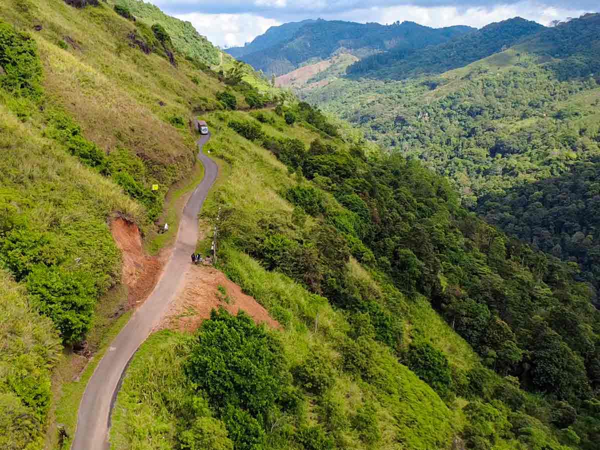
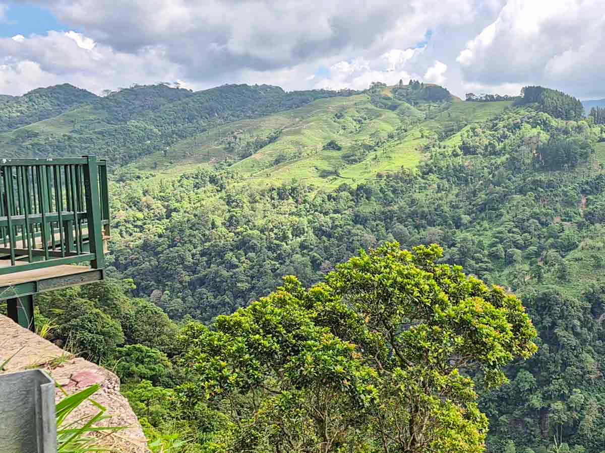
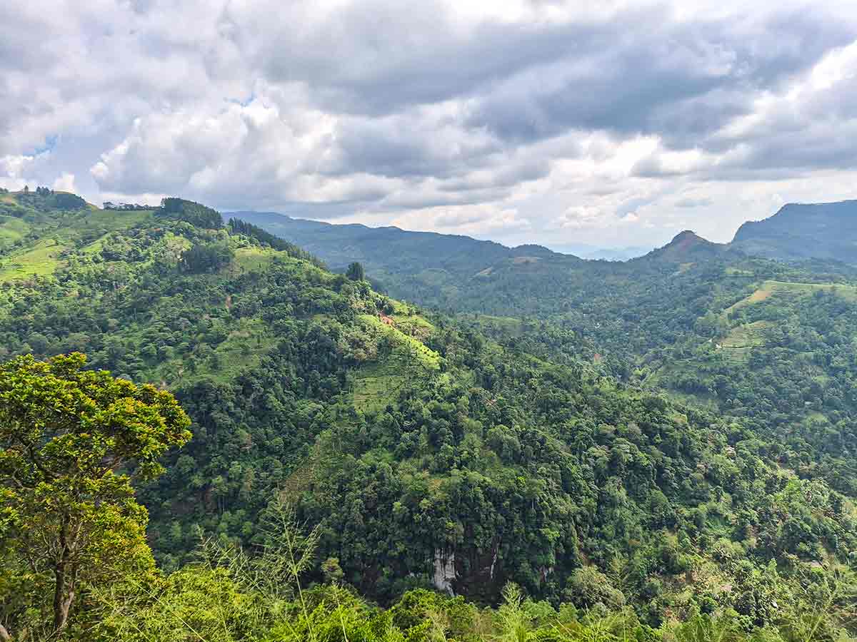
Ceylon Folk visited this route and recorded the viewpoint as part of a journey through Dolosbage and Dedugala. Our original photographs show a green metal platform projecting from the roadside, a narrow paved road cut into the steep hillside and an unusually broad view across the valley. Below the road are densely green slopes with a patchwork of cultivation and tree cover. Across the valley, smaller pointed hills stand in front of longer mountain ridges. Cloud and haze can hide much of that depth, so the experience depends strongly on the weather at the time of the visit.
The value of Palampitiya is the immediate change in perspective from the road: there is no long approach walk in our documented visit. Even so, "roadside" should not be mistaken for guaranteed access. A 2025 supporting report said earthslips following severe November weather had damaged sections of the Bulathkohupitiya-Dolosbage road. Repairs and restrictions can change, and Ceylon Folk has not independently confirmed the condition of every road section or the platform after that report. Check locally before leaving Dedugala and obey any closure or repair-site instructions.
Visit in usable daylight and suitable weather, allowing enough time to return before darkness. The road visible in our photographs is narrow, with steep ground beside it, and a stopping area can fill quickly. Use only a clearly permitted space where the vehicle is completely clear of moving traffic. The platform provides a defined viewing position, but its current maintenance, load limits and opening status are not published in a source we could verify. Do not climb railings or move onto unprotected roadside edges for a photograph.
This page uses Ceylon Folk's own photographs and travel video. They document what we saw during our visit; they do not guarantee today's road, weather, parking or platform conditions.
Viewpoint planning
Access and visibility planning
Check visibility, current access conditions, and the appropriate approach before travelling.
- Visibility and conditions
- Suitable-weather daylight hours, After confirming road conditions
- Fees and access
- Confirm locally (A 2025 supporting report described free entry, but no current official fee or opening notice was found. Confirm road and platform access locally.)
Location
Palampitiya, Dedugala area, Kegalle District, Sabaragamuwa Province
Getting to the viewpoint
- From Colombo (~95 km • ~3 h)
- Use Dedugala as the final locality checkpoint, then follow the established Dedugala-Dolosbage road; a supporting reference places the viewpoint on a hairpin bend about 7.5 km from Dedugala.
- Confirm that the through-road section is open before continuing, because earthslip damage and repair restrictions have been reported on this route.
- At the viewpoint, use only a clearly permitted stopping space beside the constructed platform and keep the vehicle fully clear of the narrow road.
Choose an approach
Select a marker to open that location in Google Maps.
Viewpoint safety
Review these access and viewpoint notes before visiting
- Parts of the approach are narrow mountain road; slow down at blind bends and do not stop outside a clearly permitted pull-off.
- Earthslip damage has been reported on the Bulathkohupitiya-Dolosbage road. Obey closures and never cross an active repair area.
- A railing is visible on the constructed platform, but that does not protect every roadside edge or confirm the platform's present structural condition.
- Avoid the stop during heavy rain, thunderstorms or poor visibility, when the road, stopping surface and edges may be harder to judge.
Travel Tips
- Check the Dedugala-Dolosbage road status locally on the day of travel; do not rely only on a navigation app where repairs or closures are active.
- Choose suitable-weather daylight hours and leave enough time to clear the mountain-road section before dark.
- Carry drinking water because facilities at the exact viewing stop have not been independently verified.
- Keep the stop short if the designated space is busy, and never leave a vehicle projecting into the traffic lane.
- Expect cloud and haze to change the view quickly; distant ridges may not be visible on every visit.
Gallery
Where to go next
Continue planning
These suggestions use reviewed itineraries, routes, and travel groupings. Map closeness alone does not prove direct road or trail access, especially across mountain terrain. Check each guide's Access section before combining stops.