Olu Ella Waterfall
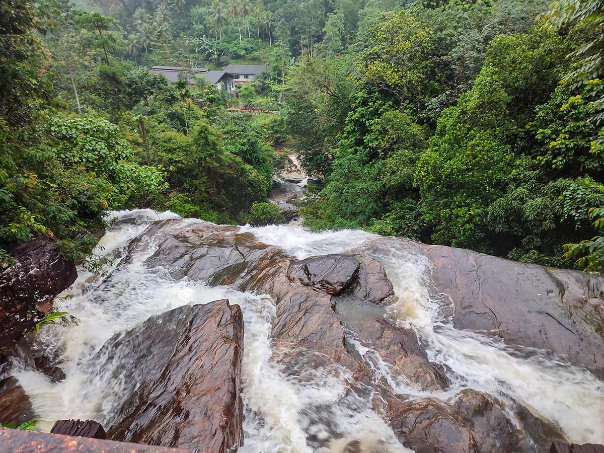
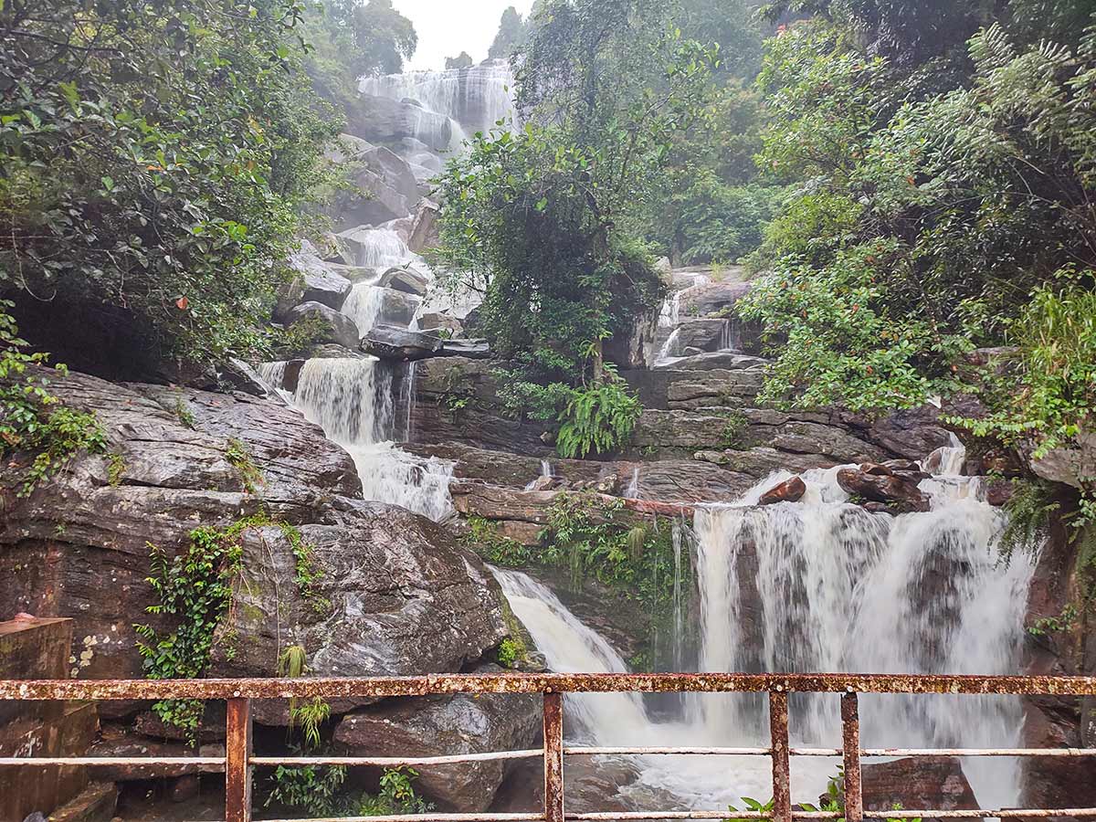
A long, stepped cascade in the Wee Oya catchment, documented above and beside a working wooden road bridge near Yatiyantota.
At a glance
Plan your waterfall visit
Check access effort and viewing conditions first, then review the approach and water-safety notes.
Travel distance
Access difficulty
Best viewing conditions
Access fee
Overview
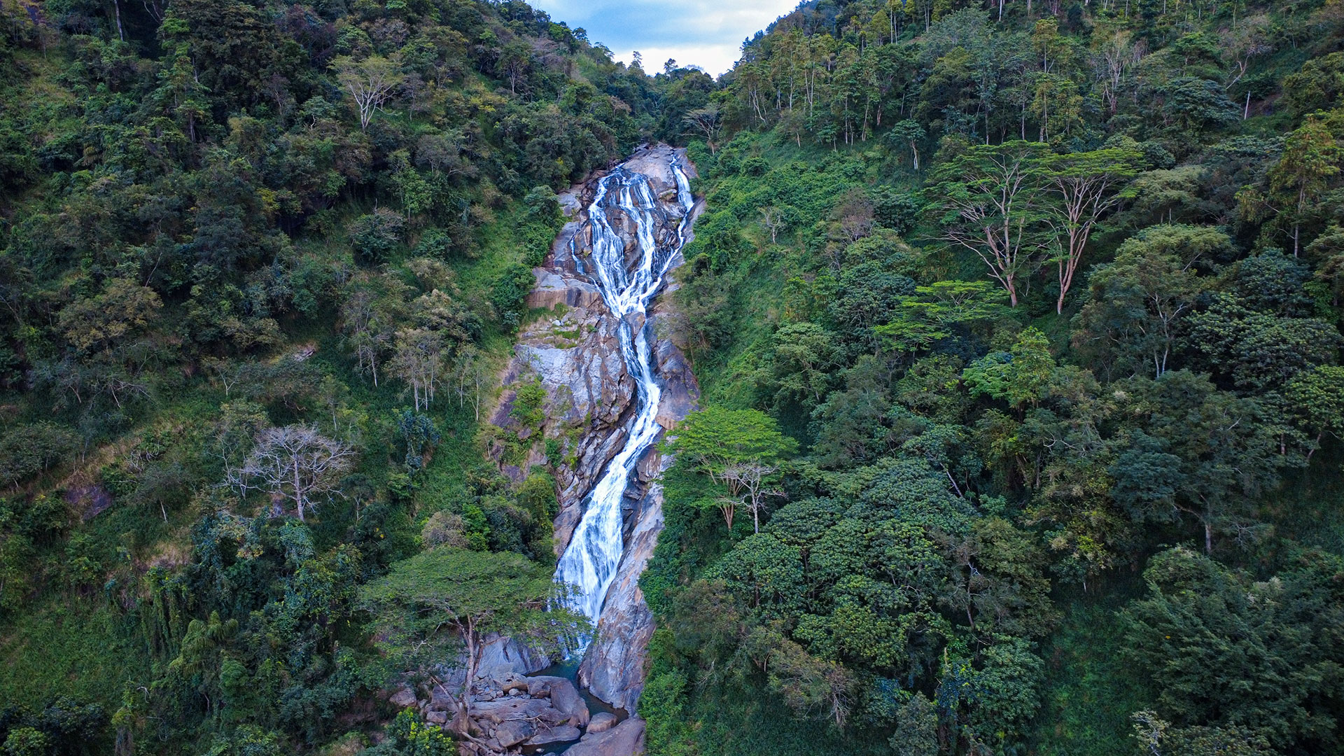
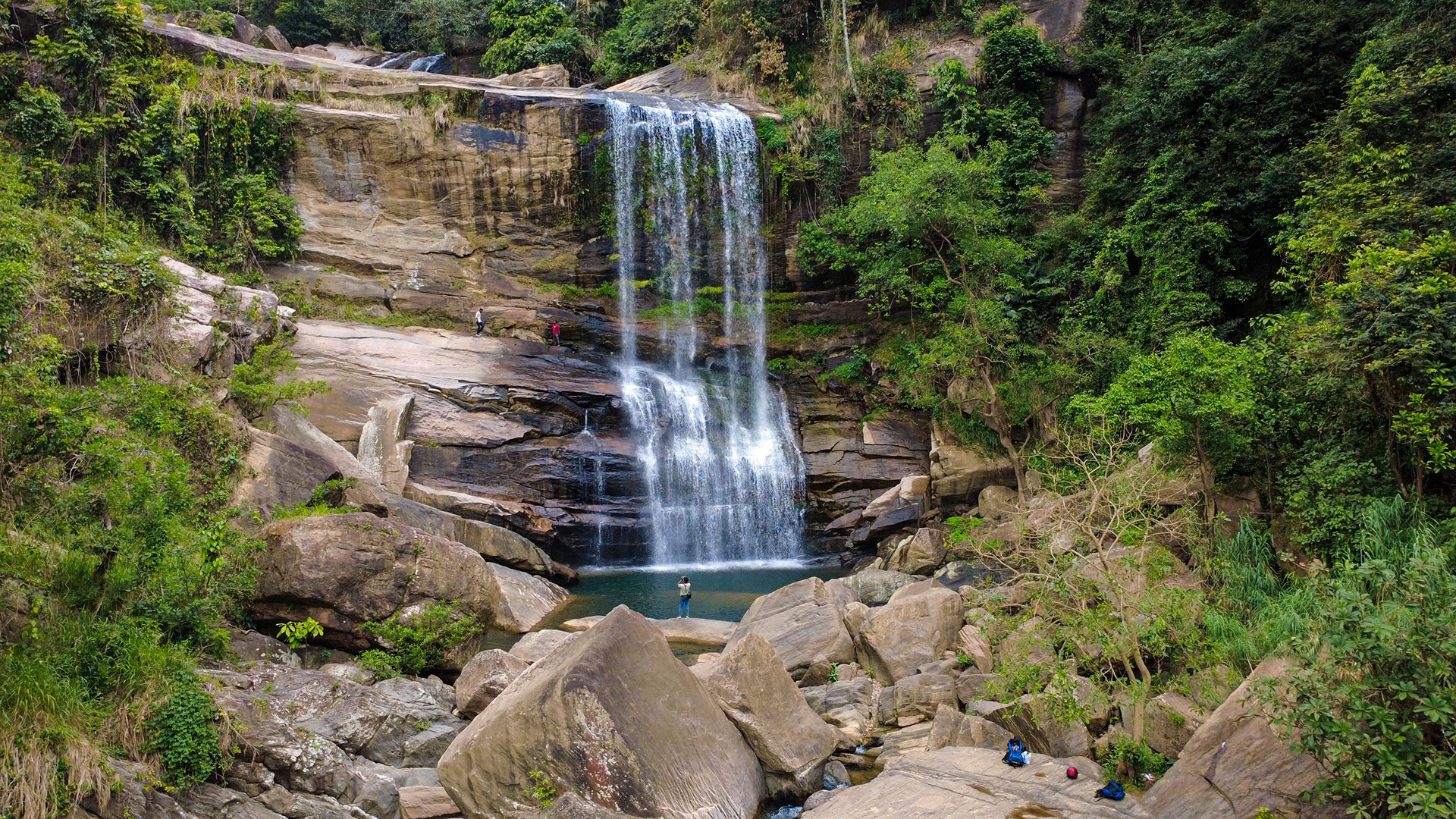
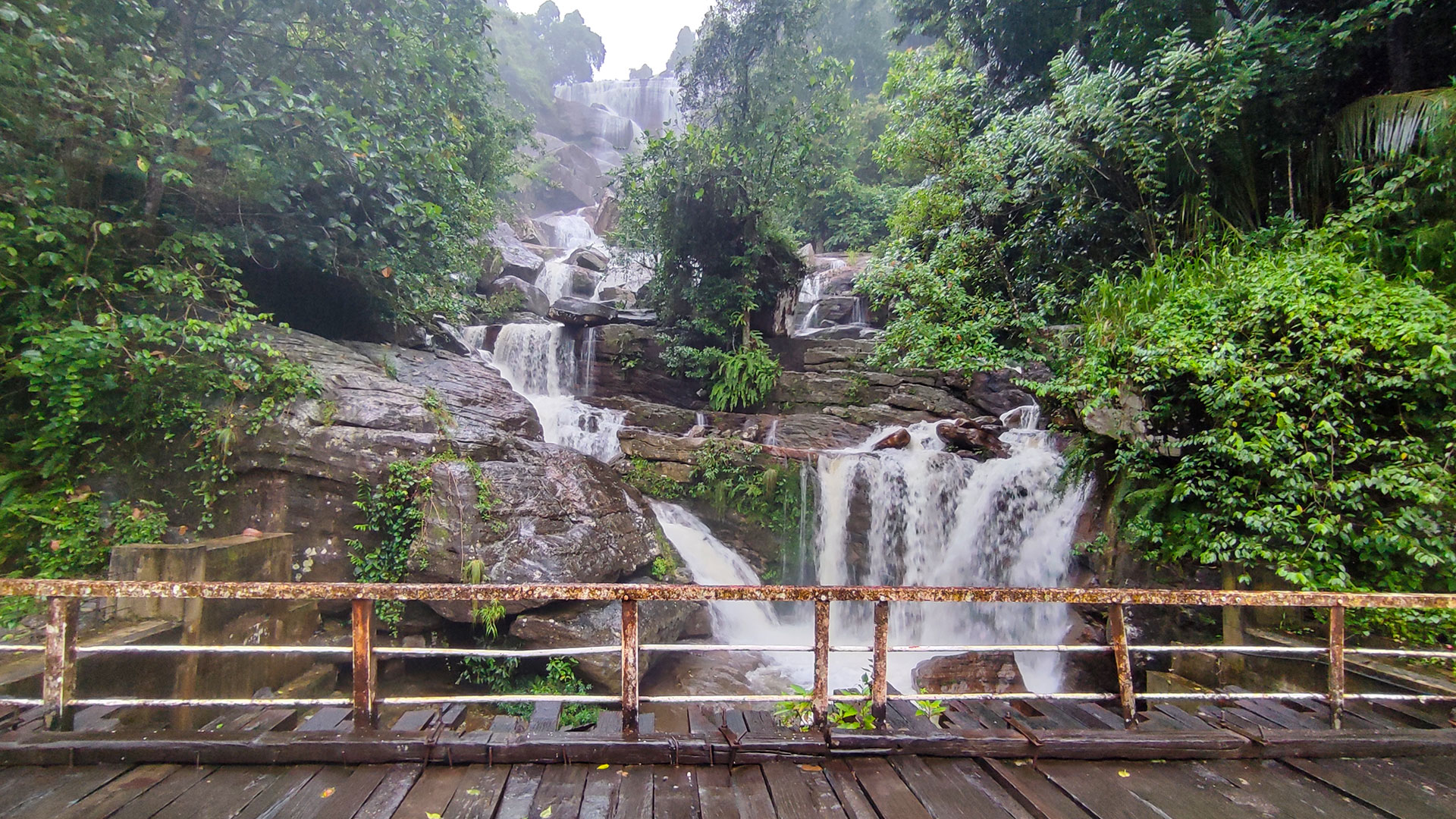
Olu Ella is a long waterfall system rather than one clean vertical drop visible from a single position. Original Ceylon Folk photographs show water separating around large rock shelves, rejoining in short drops, and continuing through dense vegetation above and below a wooden road bridge. The bridge-level view reveals several sections at once, while the wider gallery documents how much of the cascade remains hidden by terrain and trees.
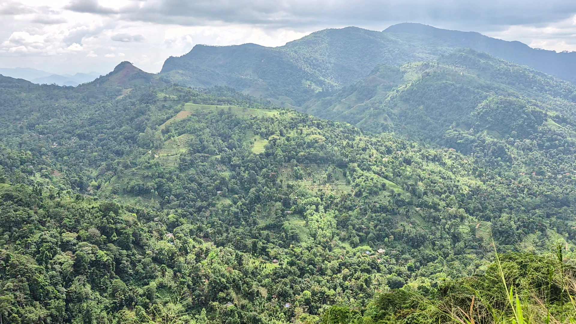
Research supported by the Asia-Pacific Network for Global Change Research places Olu Ella within the steep Wee Oya catchment. It describes Wee Oya as a tributary of the Kelani River and identifies Olu Ella among the waterfalls and cascades in this hill-stream landscape, entering Wee Oya near Punugala. The waterfall is therefore better understood as part of a connected catchment than as an isolated roadside feature.
Published measurements do not describe Olu Ella consistently. The APN-supported report uses a 200-metre figure and one national rank. A destination guide lists a 127-metre main fall and a different rank, while explaining that its larger total includes the section below the bridge. Until an authoritative survey defines the same upper and lower measurement points, this guide does not present an exact height, width, section count, or ranking as settled fact.
Place names also vary between sources: Yatiyantota is the nearest commonly named town, while destination descriptions use Punugala, Amanawela, and Berannawa for the surrounding waterfall area and approach. Use the map marker and original bridge photographs to confirm that directions refer to this Olu Ella, then check the current road condition and final approach with someone local before travel.
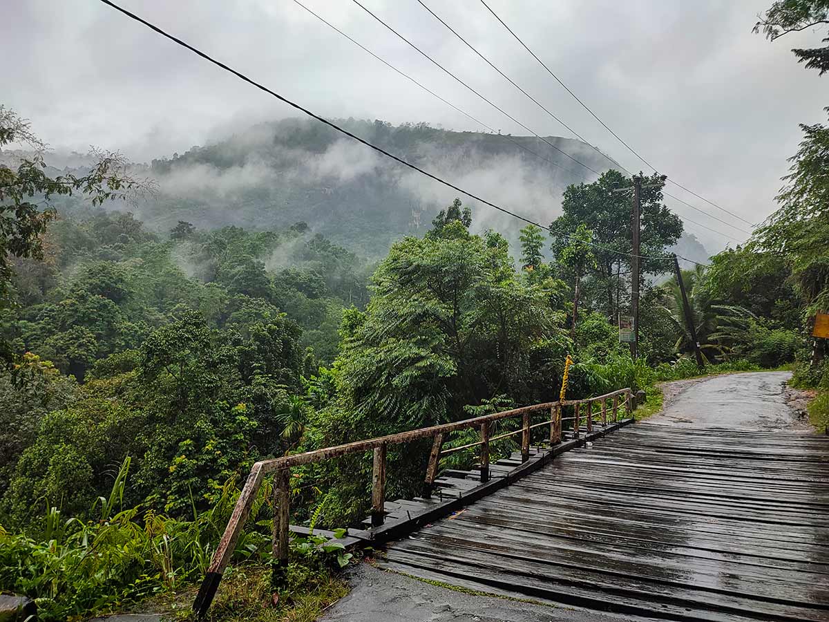
The timber-deck bridge is the clearest on-site landmark and forms part of the road, not a dedicated viewing platform. Popular accounts describe it as a colonial-era tea bridge and sometimes call it Sri Lanka's oldest wooden bridge still in use, but no primary heritage record confirming those claims was found during this review. This page therefore documents what the photographs establish: a working wooden road bridge beside the cascade, without assigning it an age or protected status.
Plan the visit as a daylight landscape stop. Park only where permitted without blocking the road, leave the carriageway available for local traffic, and view from stable public ground. Do not treat photographs taken from elsewhere around the cascade as directions to climb, cross water, or reach the top. Rain can make the deck, approaches, rocks, and water flow more hazardous, so postpone the stop when local conditions are unsuitable.
Waterfall planning
Access and viewing conditions
Check the approach, current path conditions, and appropriate starting point before visiting.
- Viewing conditions
- Daylight hours in suitable weather, Confirm safe roadside conditions
- Fees and access
- Confirm locally (No dependable current official fee information was found; confirm locally.)
Location
Berannawa, Kegalle District, Sabaragamuwa Province
Getting to the waterfall
- From Colombo (~83 km • ~2:30 h)
- Use Yatiyantota as the final town checkpoint. A destination-specific guide places Olu Ella about 12 km away on the Seepoth road, but confirm the current route and road condition locally before continuing toward the Punugala-Amanawela-Berannawa area.
- At the waterfall, identify the working wooden road bridge shown in the original Ceylon Folk photographs. Stop only where permitted, keep the bridge and carriageway clear, and do not interpret the gallery as a route onto the cascade.
Choose an approach
Select a marker to open that location in Google Maps.
Waterfall safety
Review these water, weather, and access notes before visiting
- Passing vehicles and limited roadside space are primary hazards.
- Wet rocks, bridge approaches, and ground near the cascade can be slippery.
- Do not enter the water, climb the cascade, or cross barriers for photographs.
- Rain upstream can increase flow and make the roadside viewing area less safe.
- Keep children closely supervised near the bridge, road, water, and exposed edges.
Travel Tips
- Confirm current road, stopping, bridge-area, and water conditions locally before travelling.
- Stop only where parking is permitted and your vehicle does not obstruct traffic.
- Use a safe public viewing position rather than standing in the carriageway or on an exposed edge.
- Visit with sufficient daylight and postpone the stop during heavy rain or poor visibility.
Scenic video
Experience the destination
Gallery
Where to go next
Continue planning
These suggestions use reviewed itineraries, routes, and travel groupings. Map closeness alone does not prove direct road or trail access, especially across mountain terrain. Check each guide's Access section before combining stops.