Nalagana Waterfall
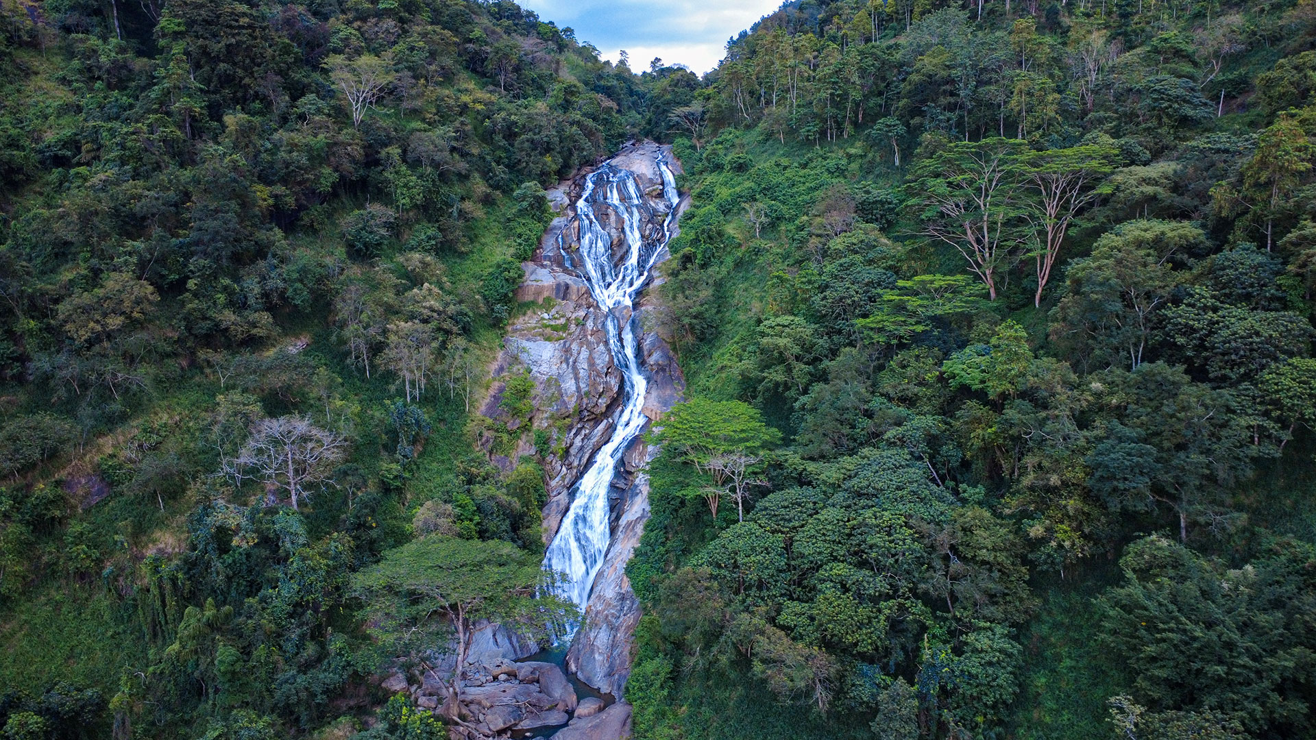
A 14 m waterfall formed by Ritigaha Oya near Dedugala and Bulathkohupitiya in Kegalle District.
At a glance
Plan your waterfall visit
Check access effort and viewing conditions first, then review the approach and water-safety notes.
Travel distance
Access difficulty
Best viewing conditions
Access fee
Overview
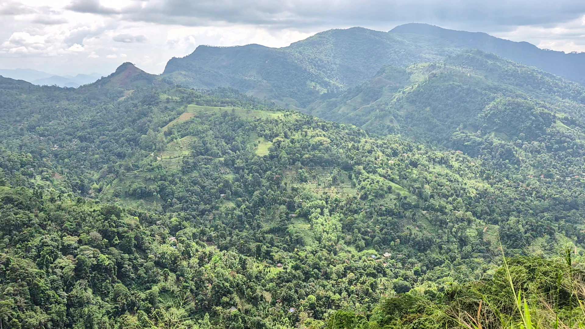
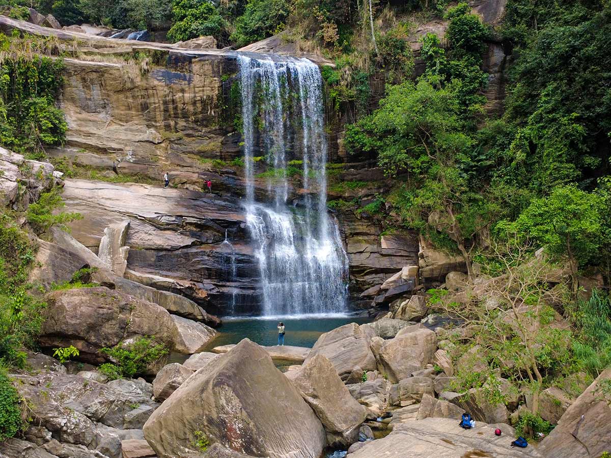
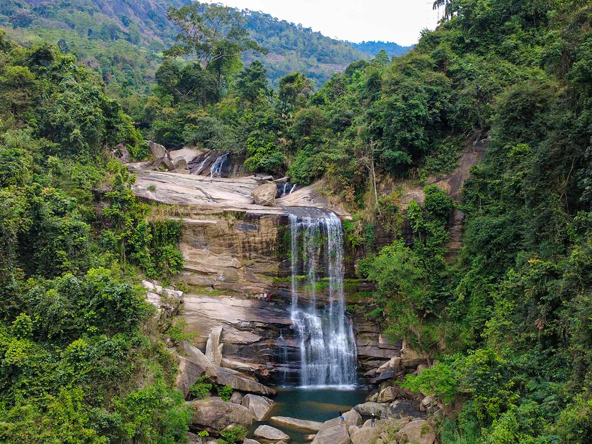
Nalagana Waterfall, written as Nalangana in the official provincial tourism listing, is a 14-metre cascade in the Bulathkohupitiya area of Kegalle District. The Dolosbage mountain chain gives rise to the watercourse, and Ritigaha Oya later joins the Kelani River.
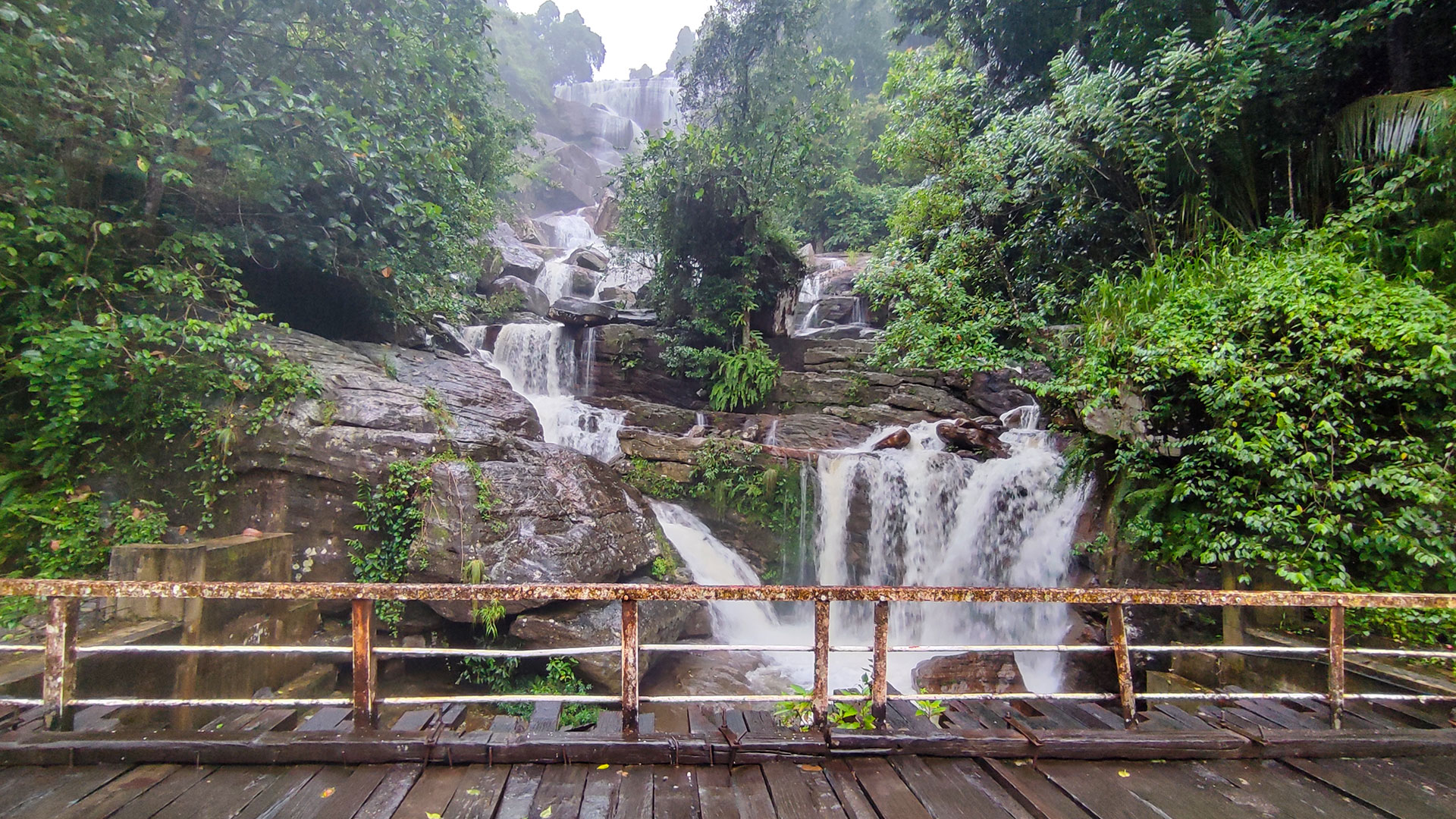
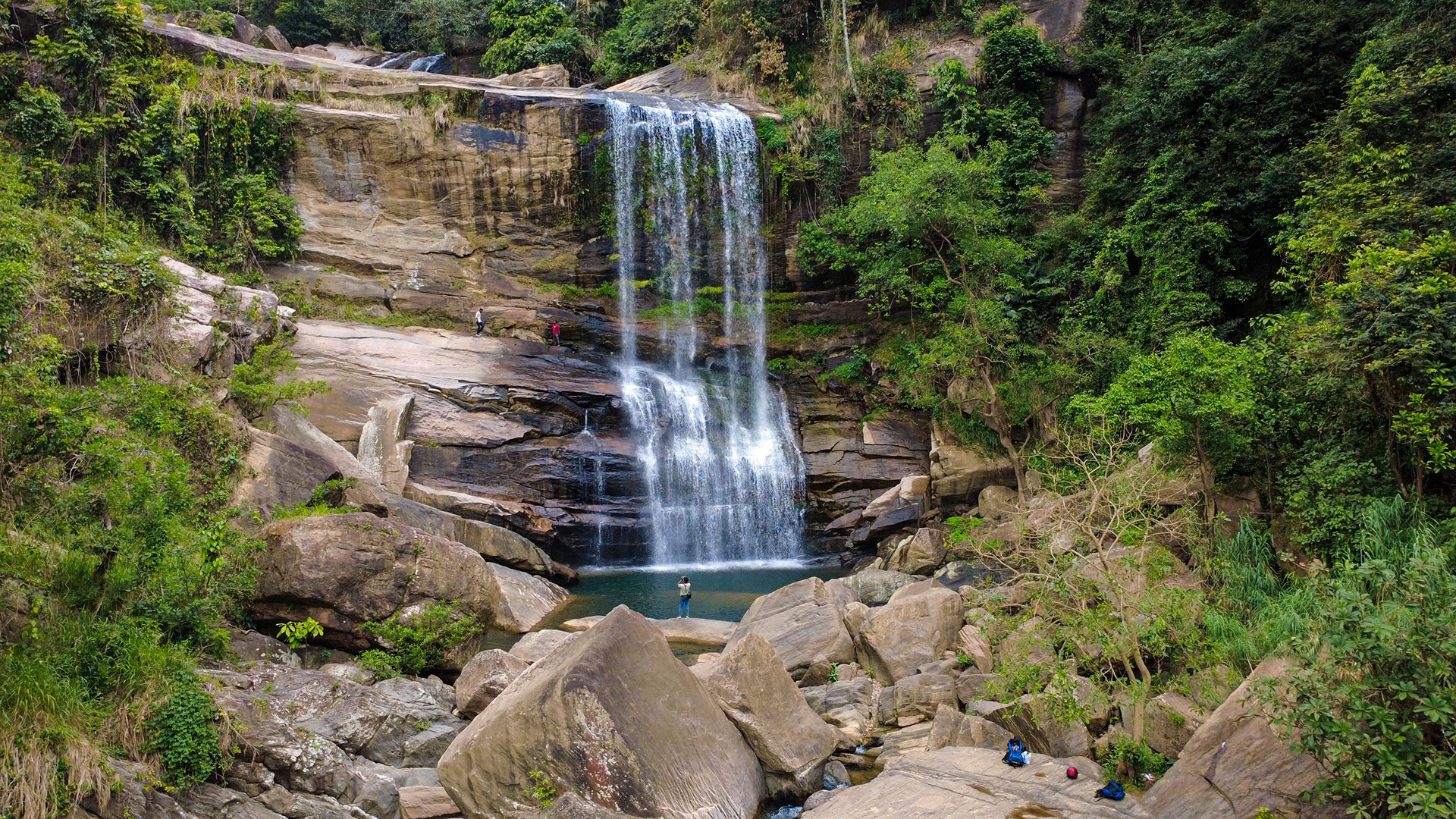
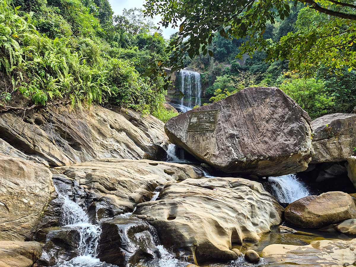
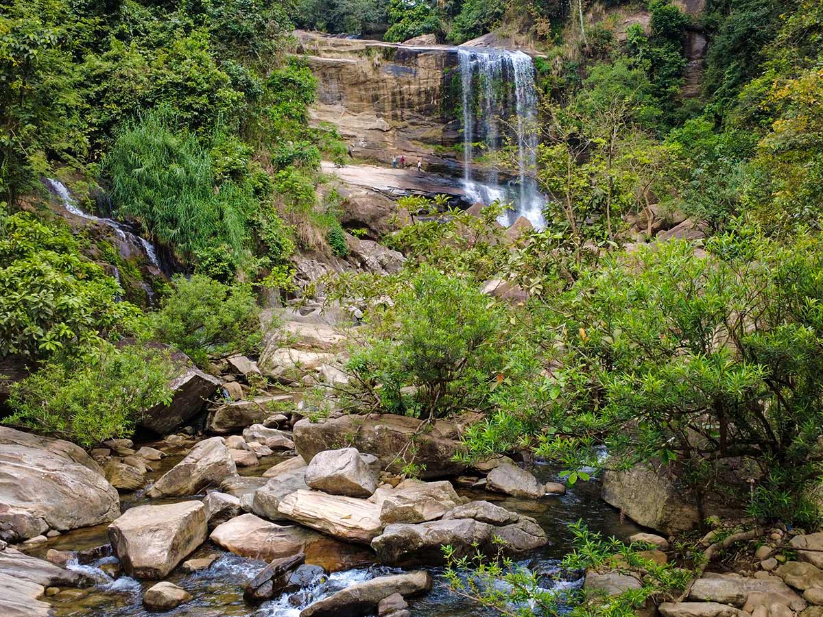
The official description identifies a broad main cascade with a smaller adjacent fall. Together they give the site a layered appearance within the surrounding gorge and forest.
The provincial tourism listing directs visitors along the Bulathkohupitiya-Dedugala road and describes the Wathupura turn near the power-house area at about 6 km from Bulathkohupitiya. The final approach recorded for this page continues for approximately 250 metres along a gravel road toward the river. Confirm the turn and current approach locally rather than relying on distance alone.
The walk is short, but the official description warns that the gorge-like approach is winding. Wet ground and changing river flow mean that visitors should not judge safety from distance alone.
The nearest town is Bulathkohupitiya, while Kitulgala is located about 41 km away, making it possible to combine this visit with other Kelani River basin attractions.
Waterfall planning
Access and viewing conditions
Check the approach, current path conditions, and appropriate starting point before visiting.
- Viewing conditions
- Clear weather, When local water conditions are safe
- Fees and access
- Confirm locally (Confirm current access arrangements and any locally collected charge at the access point.)
Location
Dedugala, Kegalle District, Sabaragamuwa Province
Getting to the waterfall
- From Colombo (~85 km • ~2.5 h)
Choose an approach
Select a marker to open that location in Google Maps.
Waterfall safety
Review these water, weather, and access notes before visiting
- Gravel path may be slippery during rainy weather.
- Do not swim based only on apparent water level; depth, currents, and upstream rainfall may not be visible from the site.
- Exercise caution when walking near wet rocks.
- Supervise children near river edges.
Travel Tips
- Wear comfortable footwear for the short gravel walk.
- Avoid using heavy rain as a reason to visit; check current flow and path conditions locally.
- Combine your visit with Bulathkohupitiya or Kitulgala attractions.
- Morning visits provide better lighting for photography.
- Carry drinking water as facilities may be limited.
Gallery
Where to go next
Continue planning
These suggestions use reviewed itineraries, routes, and travel groupings. Map closeness alone does not prove direct road or trail access, especially across mountain terrain. Check each guide's Access section before combining stops.