Bolthumbe Ella (Aliya Wetuna Ella)
A forest cascade on Bothumba Oya near Bolthumbe Saman Devalaya, documented through original Ceylon Folk photography and video.
At a glance
Plan your waterfall visit
Check access effort and viewing conditions first, then review the approach and water-safety notes.
Travel distance
Access difficulty
Best viewing conditions
Access fee
Overview
Bolthumbe Ella, locally known as Aliya Wetuna Ella, is a forest waterfall on Bothumba Oya near Bolthumbe Saman Devalaya in Ratnapura District. Sabaragamuwa Tourism places the devale in Bolthumbe village, within Imbulpe Divisional Secretariat, near the foot of Dethanagala Mountain and approximately 14.5 km from Balangoda on the Balangoda-Pinnawala route. That official reference helps identify the correct locality, although the waterfall remains a separate natural place rather than part of the devale visitor site.
The name "Aliya Wetuna Ella" can be translated as "the waterfall where an elephant fell." The explanation belongs to local oral tradition, not verified history. A destination-specific secondary reference identifies the stream as Bothumba Oya and reports an approximate height, but no authoritative public waterfall survey or measurement was found during review. The guide therefore avoids presenting a precise height as established fact.
For the final approach, follow current local directions toward Bolthumbe Saman Devalaya. The published destination reference places a stream crossing known as "Sapaththu Palama" about 250 metres along the devale road and describes the waterfall as lying upstream through forest beside the watercourse. Treat those details as orientation, not proof that the same path is currently open, public, or safe. Ask a resident or knowledgeable local guide to confirm the crossing, usable route, and return plan before leaving the road.
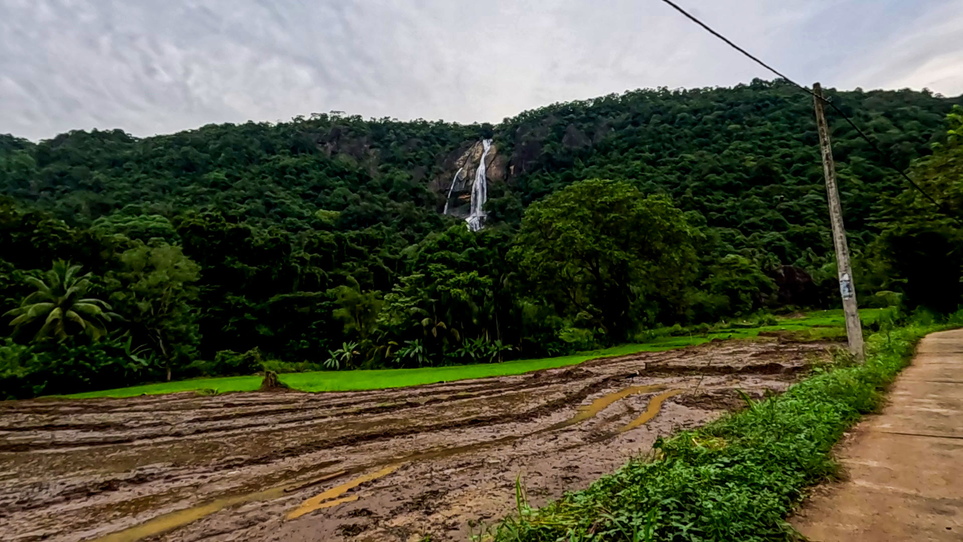
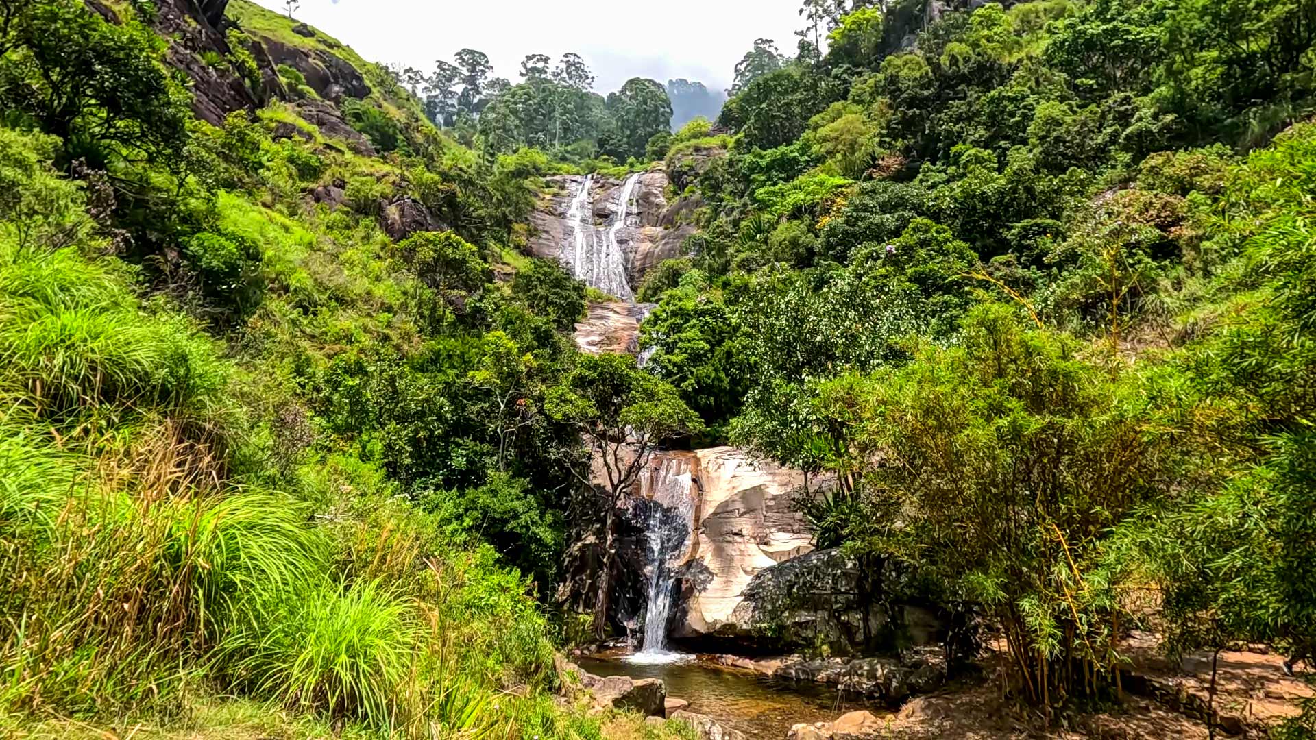
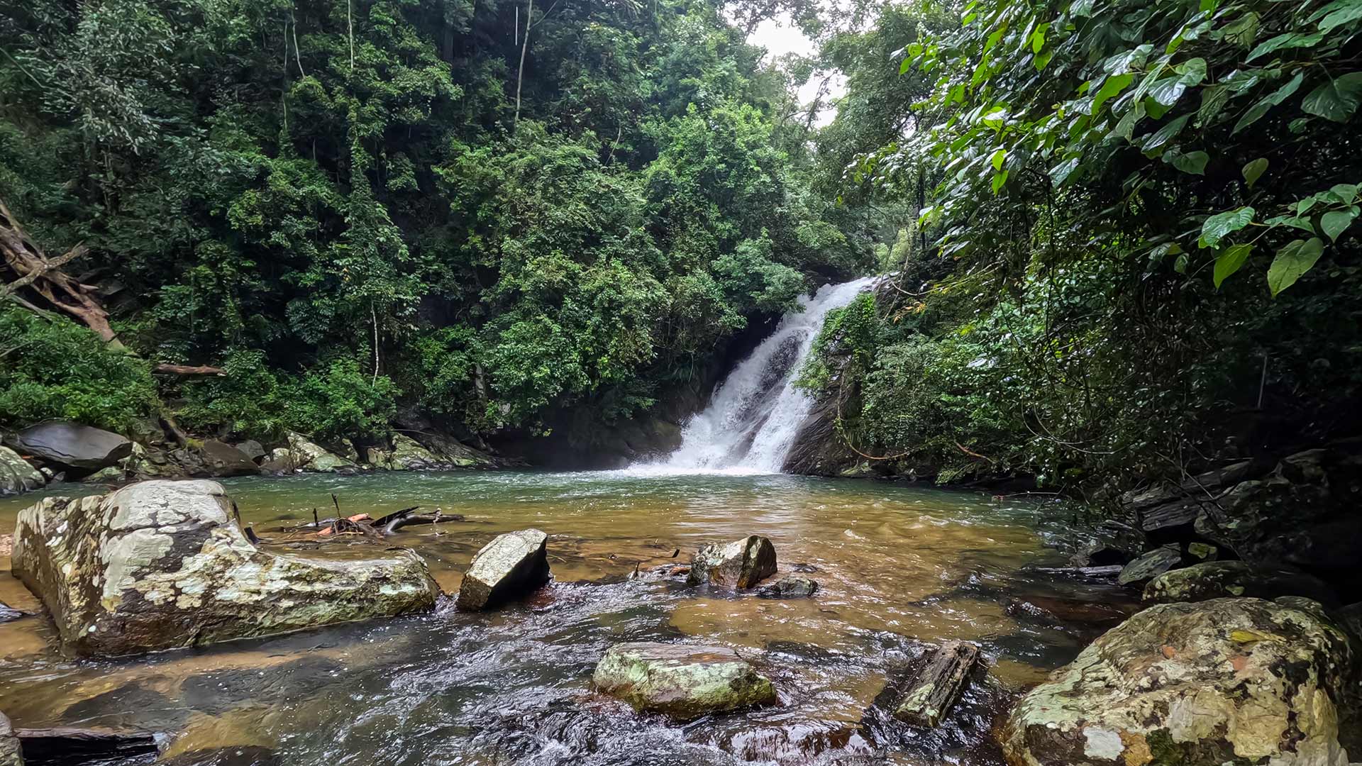
The original Ceylon Folk photograph and video on this page document the intended waterfall: a sloping cascade entering a rock-lined pool inside dense forest. They help distinguish this Bolthumbe location from other Sri Lankan waterfalls that share a similar "Aliya Wetuna" name. The image does not establish pool depth, current, or safe bathing conditions, so view the water from stable ground and do not use the photograph as evidence that entering the pool is safe.
No reliable public information was found for a waterfall ticket, opening hours, maintained visitor facilities, or a formally managed trail. Visit only with sufficient daylight, suitable footwear, and a current local check of weather, water level, and access. Carry what you need, turn back when the approach is unclear, and leave the stream and forest free of litter.
Waterfall planning
Access and viewing conditions
Check the approach, current path conditions, and appropriate starting point before visiting.
- Viewing conditions
- Clear weather, Daylight hours
- Fees and access
- Confirm locally (No reliable public waterfall fee or ticket information was found; confirm locally before visiting.)
Location
Bolthumbe, near Balangoda, Ratnapura District, Sabaragamuwa Province
Getting to the waterfall
- From Colombo (~145 km • ~4:15 h)
- From Balangoda, use current local directions to Bolthumbe village and the Bolthumbe Saman Devalaya road; Sabaragamuwa Tourism places the devale approximately 14.5 km from Balangoda on the Balangoda-Pinnawala route.
- A destination-specific secondary reference places the Sapaththu Palama stream crossing about 250 m along the devale road. Confirm the crossing and current upstream forest approach locally before leaving the road.
Choose an approach
Select a marker to open that location in Google Maps.
Waterfall safety
Review these water, weather, and access notes before visiting
- Rocks around the waterfall can be slippery.
- Trail may be unclear - follow the stream carefully.
- Watch for leeches during wet conditions.
- Avoid visiting during heavy rain due to sudden water level increases.
- Limited mobile signal in the area.
Travel Tips
- Treat nearby Bolthumbe Saman Devalaya as a separate religious and cultural site, and follow its current visitor guidance.
- Wear proper footwear - access involves stream walking and forest terrain.
- Ask residents about current path and water conditions before beginning the walk.
- Carry drinking water as there are no facilities nearby.
- Best visited during daytime due to unclear trail paths.
Scenic video
Experience the destination
Gallery
Where to go next
Continue planning
These suggestions use reviewed itineraries, routes, and travel groupings. Map closeness alone does not prove direct road or trail access, especially across mountain terrain. Check each guide's Access section before combining stops.