Hawagala Mountain
A sustained Belihuloya climb through cultivated land, forest and grassland to an exposed rocky summit documented in original Ceylon Folk photographs and video.
At a glance
Plan your hike
Check the walking effort and best conditions first, then review the trail approach and safety notes.
Travel distance
Walking difficulty
Best hiking conditions
Access fee
Overview
Hawagala rises within the Belihuloya-Pambahinna mountain landscape of Ratnapura District. A Sabaragamuwa University study identifies it among the area's principal peaks and specifically recognises the surrounding mountains, cliffs and valleys as suitable for hiking and other mountain recreation. This establishes Hawagala as a distinct local peak rather than using the name only as an informal viewpoint label.
Published elevation figures need context. The university field study lists a 1,371-metre Hawagala peak, while a 2023 University of Waikato thesis describes the wider Hawagala mountain range as extending from approximately 530 to 1,414 metres. Because one source names a peak and the other maps a range, this guide does not present either number as a newly surveyed elevation for the exact summit marker.
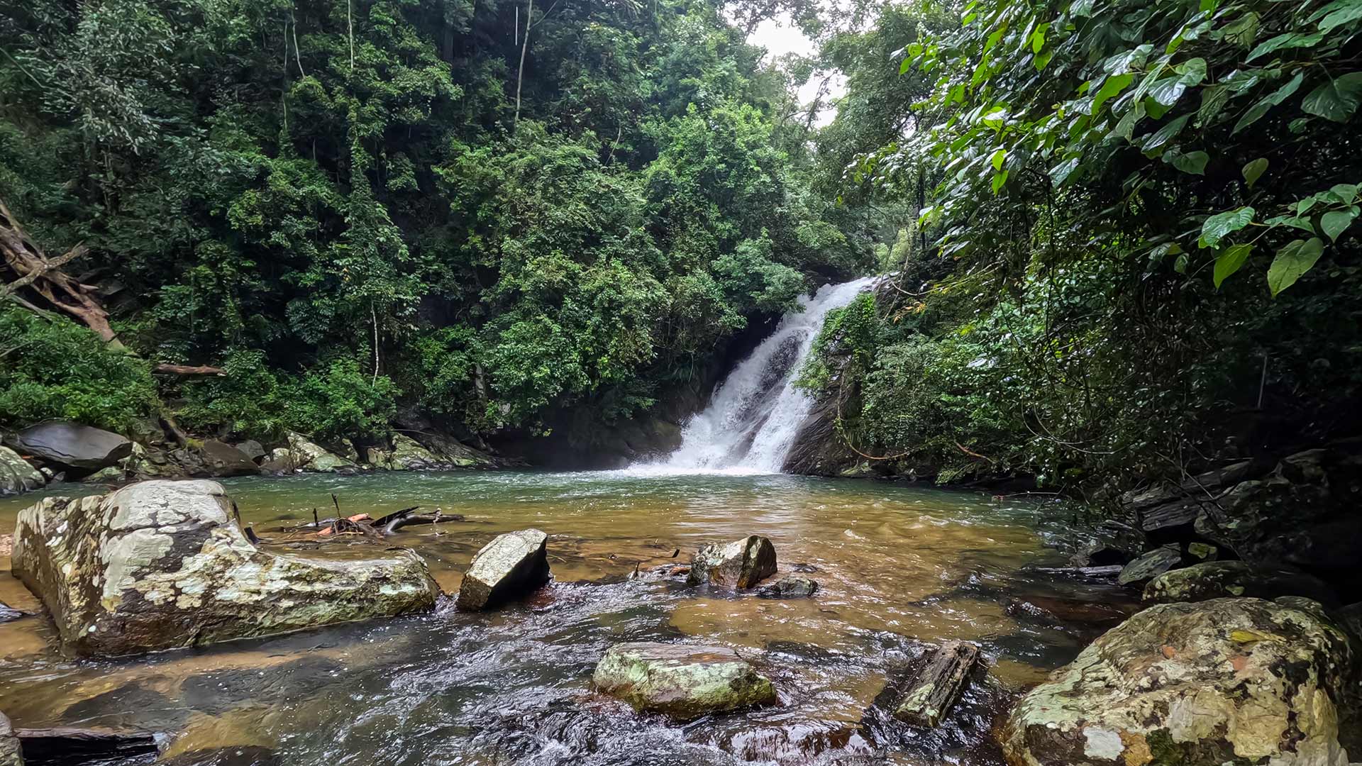
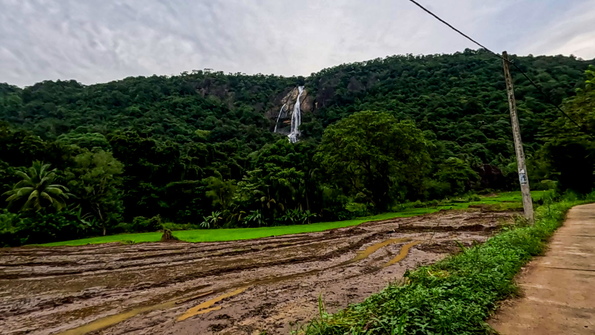
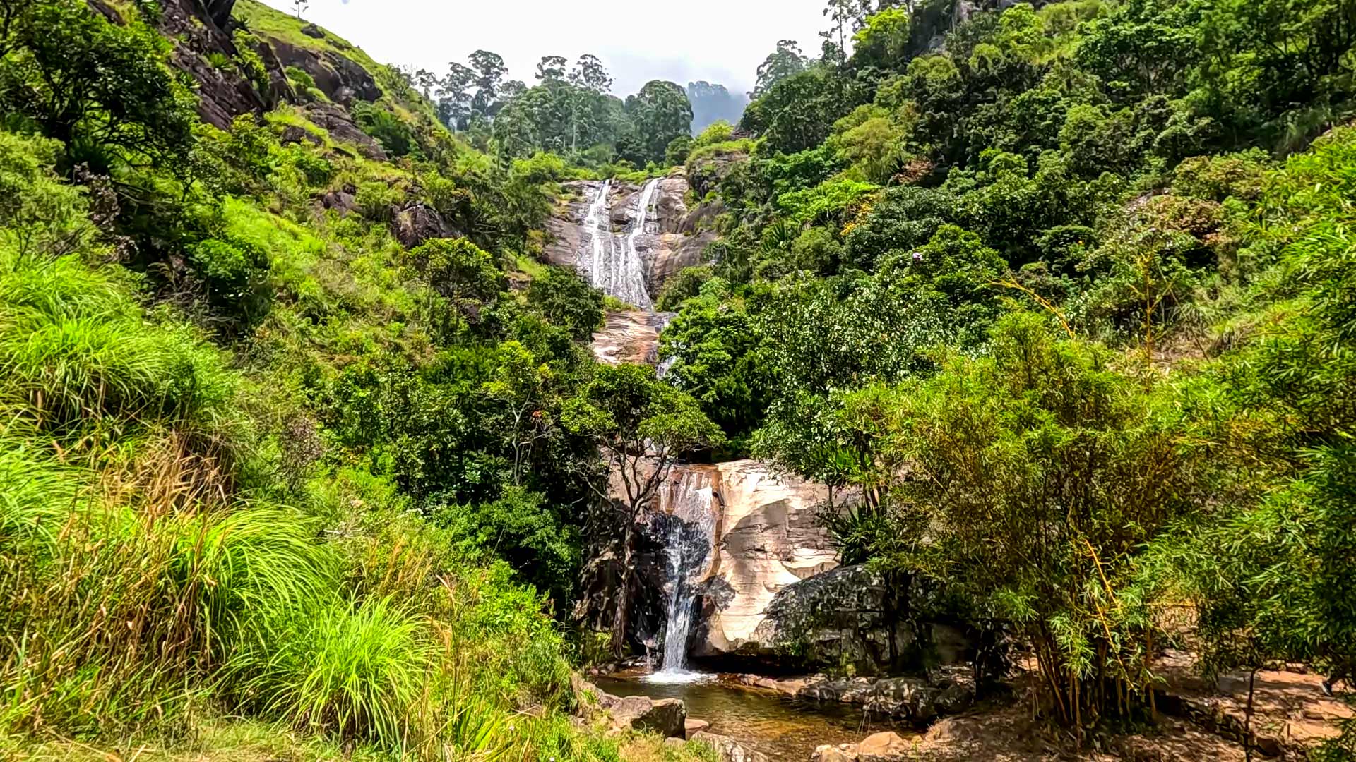
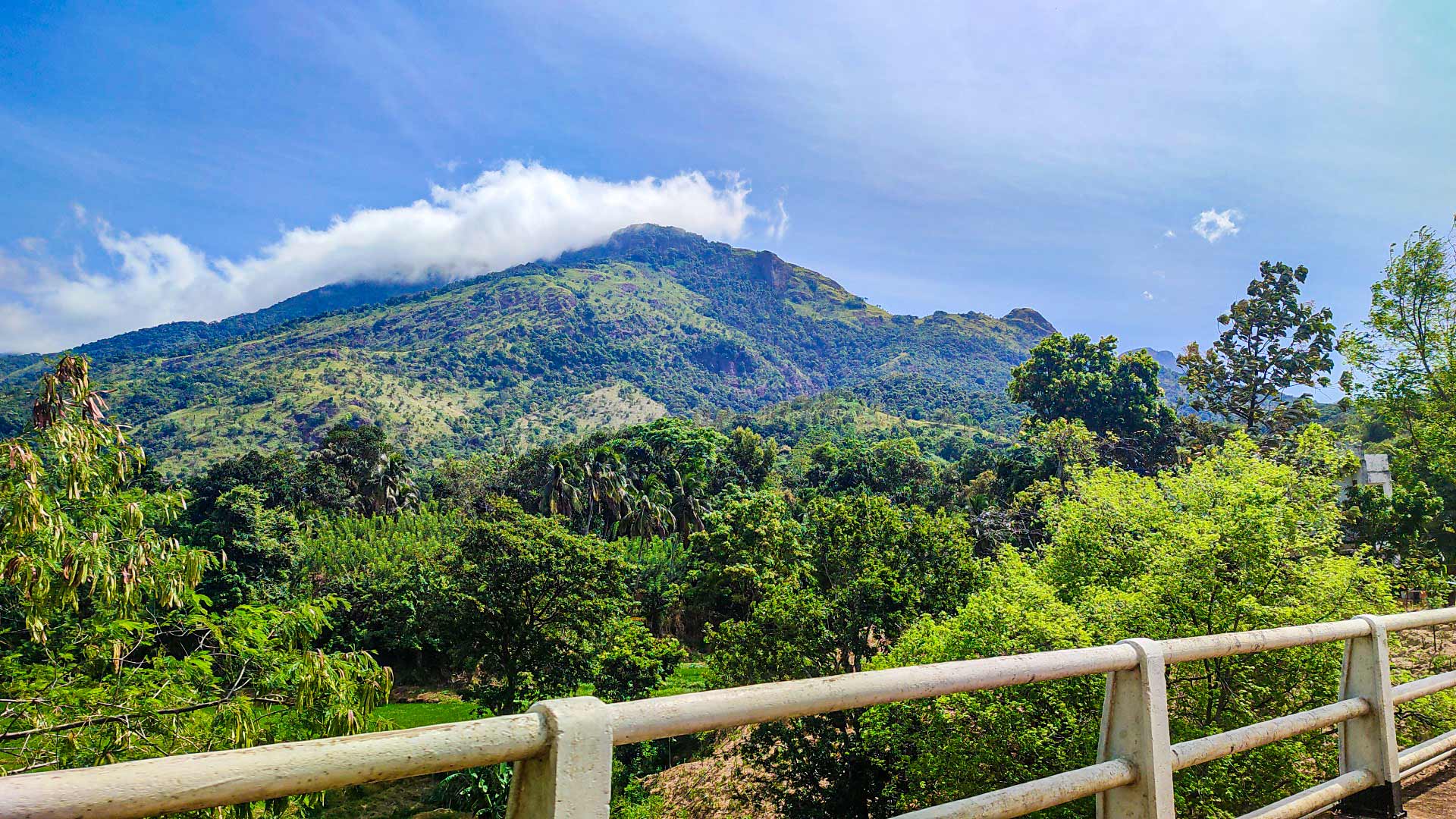
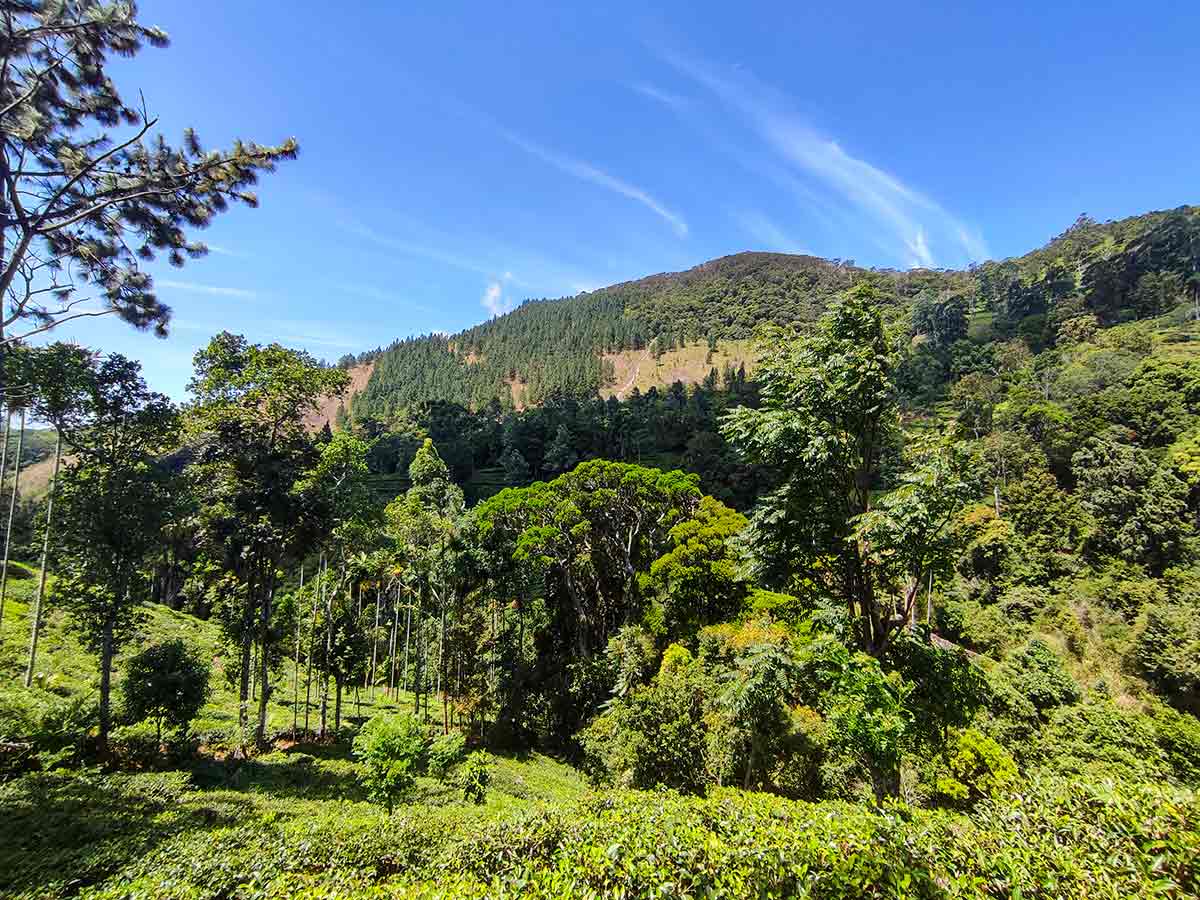
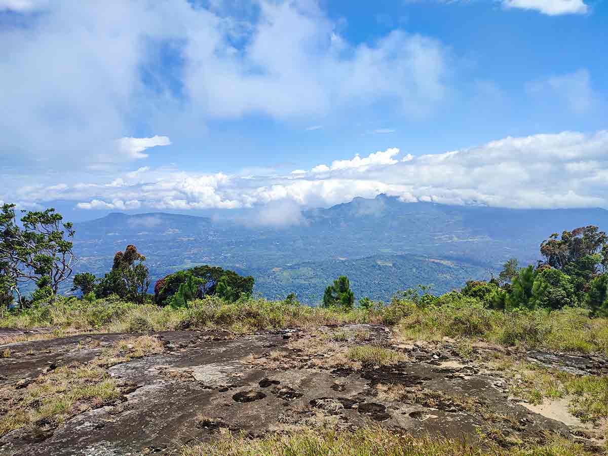
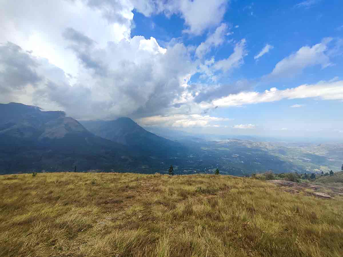
The same recent research describes the wider landscape as a mosaic of montane forest, grassland, shrubs and pine plantations. Original Ceylon Folk photographs show how that character changes during this particular journey: a forested mountain and rocky upper crest seen from below, cultivated and tall planted-tree sections on the approach, then grass and exposed rock near the top. The photographs document the experience but do not turn every visible line through vegetation into a public trail.
Locally published trekking guidance uses Belihuloya and Landuyaya as the practical approach corridor and describes an out-and-back climb through former tea land and pathana grassland. The trail-start and summit markers on this page retain the route context from the Ceylon Folk visit. Road condition, estate or community access, and the usable footpath can change, so confirm the same start locally instead of drawing a direct line toward the summit coordinate.
The upper approach is the defining physical challenge. It becomes steeper and more exposed, and the descent can demand more control than the climb when soil, grass or rock is wet. The summit photographs show open rock and grass rather than a developed viewing platform, guardrails or a marked safe edge. Keep well back from drops and do not continue onto an exposed section in strong wind, rain, cloud or poor visibility.
When conditions are clear, the top opens broad views across the Belihuloya highlands, including the Nonpareil and Horton Plains side of the landscape described by local references. Cloud can hide those features quickly, so treat the panorama as weather- dependent rather than guaranteed. Carry sufficient water, food, sun and rain protection, and basic first aid for the complete return; do not rely on finding facilities or safe drinking water above the settled lower route.
No dependable current public notice was found confirming a permanent entrance fee, opening schedule, managed campsite or continuously maintained trail. First-time visitors should verify current access with someone who knows the Landuyaya route, share the plan and expected return time, and leave enough daylight to turn back safely.
Hike planning
Trail access and navigation
Check the approach, walking conditions, and correct starting point before setting out.
- Walking conditions
- Suitable-weather daylight hours, After confirming the local route and conditions
- Fees and permissions
- Confirm locally (No dependable current public fee or permit notice was found; confirm access, land permission, guide arrangements, and any charge locally before starting.)
Location
Belihuloya, Ratnapura District, Sabaragamuwa Province
Getting to the trail
- From Colombo (~150 km • ~5 h)
- Use Belihuloya as the main travel checkpoint, then confirm the current road approach toward Ihalagalagama and Landuyaya locally rather than relying on an old fixed-distance route description.
- At Landuyaya, verify that the starting path matches the Ceylon Folk trail marker, confirm any estate or community permission, and agree on the same return route before beginning the ascent.
Choose a trail approach
Select a marker to open that location in Google Maps.
Trail safety
Review these trail-specific notes before setting out
- The final section to the summit is steep and can be slippery after rain.
- Rock edges at the summit are exposed with no safety barriers.
- Watch for leeches in forest sections during wet weather.
- Avoid hiking during heavy rain or strong winds.
- Mobile network coverage may be limited in some areas.
Travel Tips
- Start early morning for clear summit views and cooler temperatures.
- Wear proper hiking shoes - sections of the trail are steep and rocky.
- Carry enough drinking water as there are no facilities on the trail.
- Check weather conditions before starting - visibility can drop with mist.
- Consider hiring a local guide if unfamiliar with the route.
Gallery
Practical videos
Travel guides from the road
Where to go next
Continue planning
These suggestions use reviewed itineraries, routes, and travel groupings. Map closeness alone does not prove direct road or trail access, especially across mountain terrain. Check each guide's Access section before combining stops.