Bomburu Ella Waterfall
A broad, multi-cascade waterfall near Nuwara Eliya, reached by a forest walking route that requires suitable weather and footwear.
At a glance
Plan your waterfall visit
Check access effort and viewing conditions first, then review the approach and water-safety notes.
Travel distance
Access difficulty
Best viewing conditions
Access fee
Overview
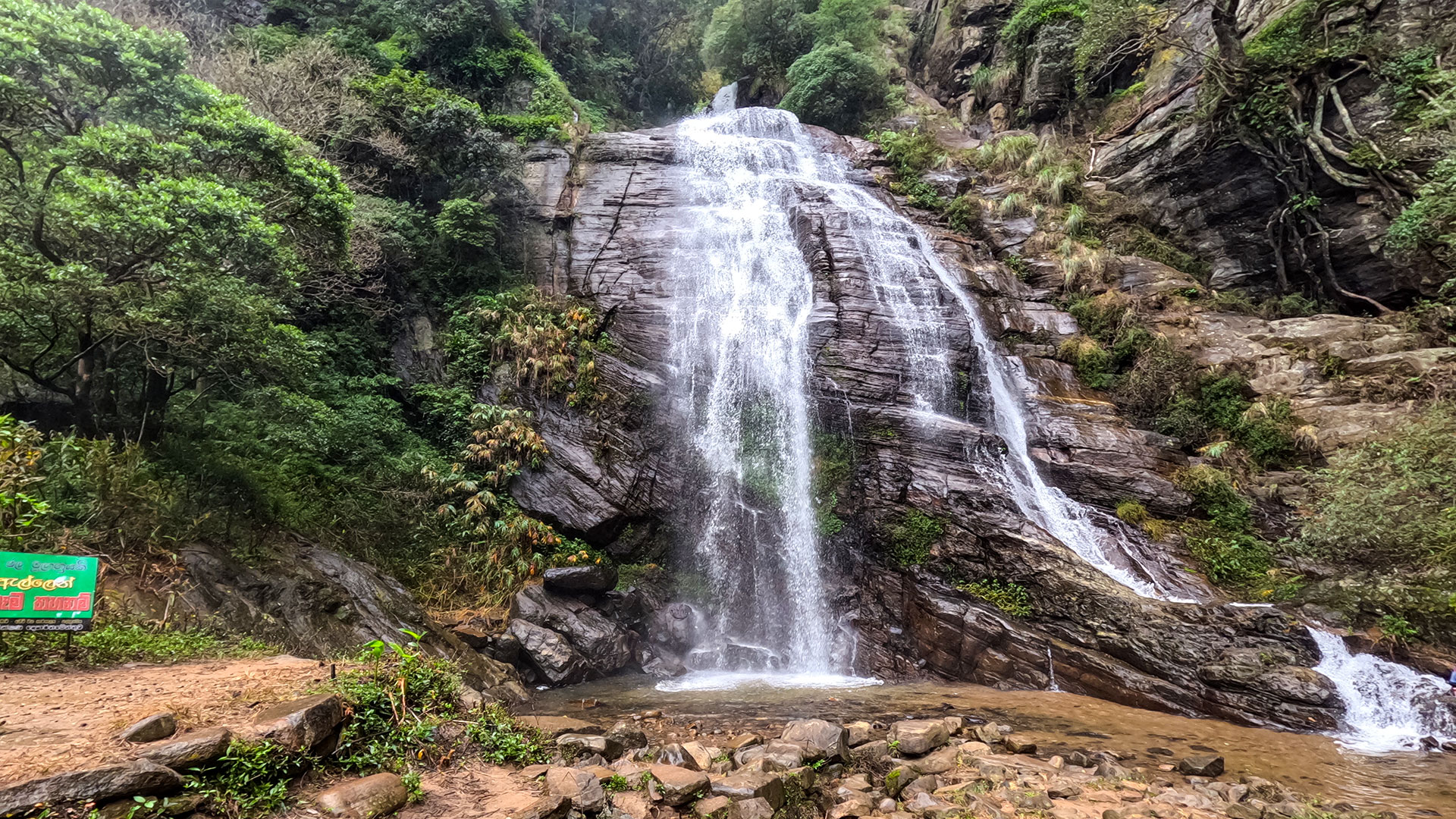
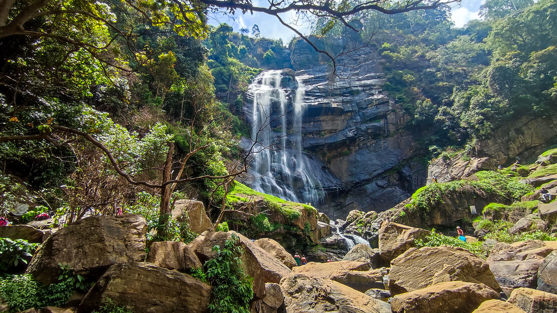
Bomburu Ella is a broad highland waterfall formed by several adjoining cascades rather than one narrow vertical drop. The Uva Paranagama Pradeshiya Sabha places it at Perawella on the border of Nuwara Eliya and Badulla districts, also records the name Perawella Falls, and describes the fall as approximately 50 metres high. Local approaches may use Galpalama, Perawella, or Bomburu Ella as the practical place name, so confirm the intended entrance rather than relying on the locality name alone.
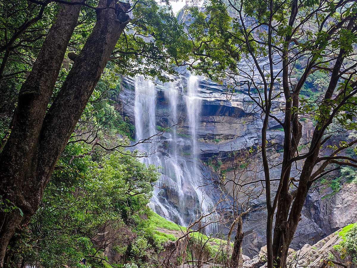
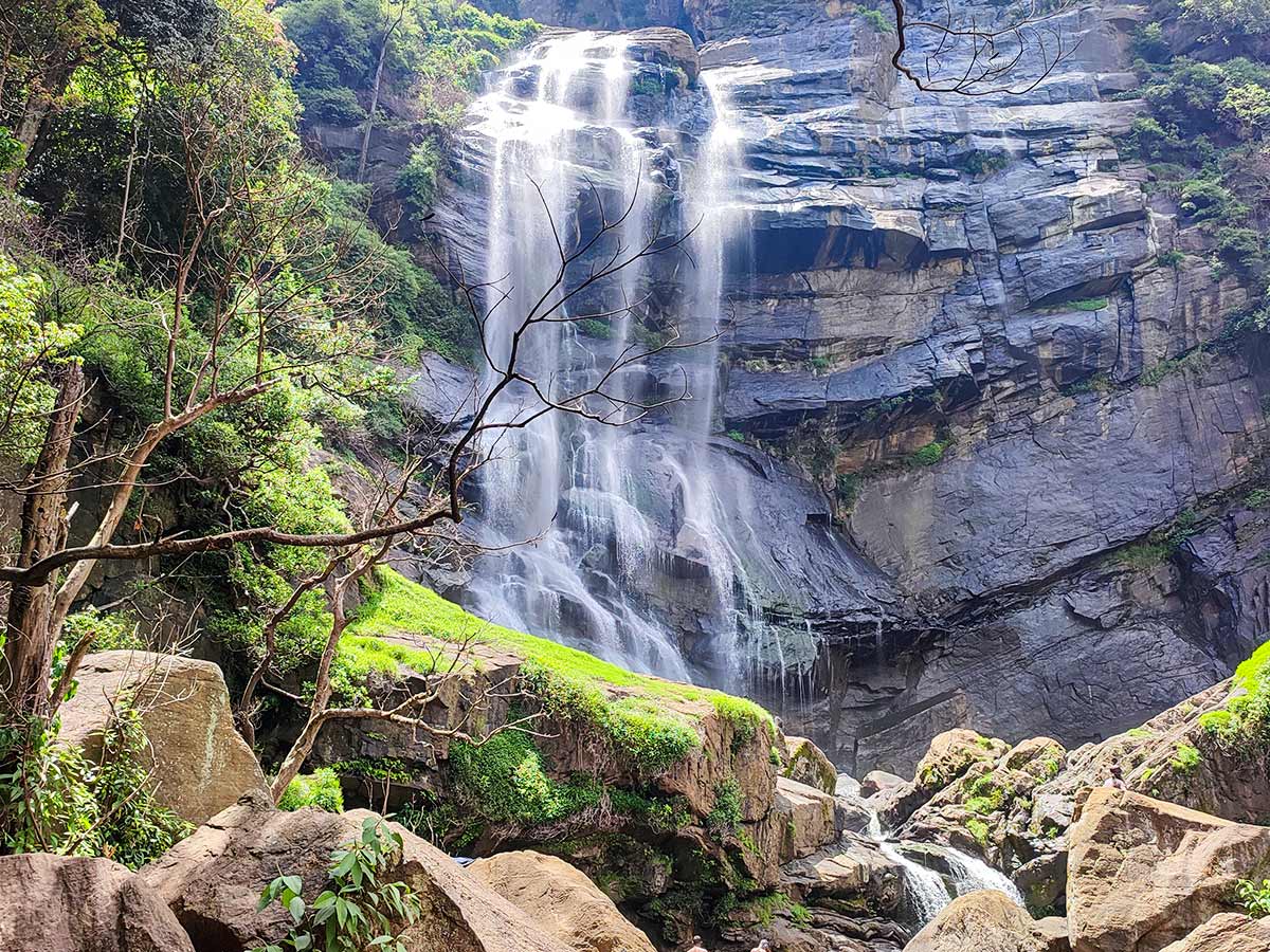
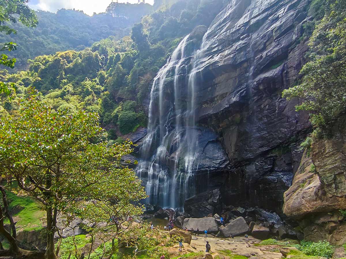
The local authority describes Bomburu Ella as a group of smaller waterfalls spread across a wide rock face. That structure distinguishes it from a single-drop waterfall: the view changes along the approach as separate flows, forest, exposed rock, and the broader cascade come into view.
The same local-government source records that water from the system supports power generation and cultivation. Bomburu Ella should therefore be understood as part of a working highland catchment as well as a visitor destination. Water use, rainfall, and upstream conditions can affect the appearance and behaviour of the cascade.
Visitors approach on foot over steps, gravel, uneven ground, and forest sections. Walking time and effort vary with pace, recent rain, path condition, crowding, and the viewing point used. A fixed online duration or step count should not be treated as a guarantee.
Stronger flow after rain also increases the danger from slippery surfaces, currents, spray, and changing stream levels. Remain on the established route, do not cross water for a photograph, and do not bathe or swim. The Pradeshiya Sabha states that camping at the location is prohibited, so plan this as a daylight visit and follow current site instructions.
Entrance charges, opening conditions, maintenance, and temporary restrictions can change. Confirm them locally before travelling and carry suitable footwear, water, and rain protection for the complete return walk.
Waterfall planning
Access and viewing conditions
Check the approach, current path conditions, and appropriate starting point before visiting.
- Viewing conditions
- Daylight hours in suitable weather, Confirm current trail and water conditions
- Fees and access
- Confirm locally (Confirm the current entrance arrangement and visitor charge locally.)
Location
Galpalama, Nuwara Eliya District, Central Province
Getting to the waterfall
- From Colombo (~172 km • ~5:30 h)
Choose an approach
Select a marker to open that location in Google Maps.
Waterfall safety
Review these water, weather, and access notes before visiting
- Steps, gravel, mud, and the final approach can become slippery after rain.
- Do not bathe, swim, climb wet rocks, or approach the falling water.
- Rain upstream can change stream levels quickly even when local weather appears manageable.
- Closely supervise children near steps, exposed ground, and moving water.
- Follow current signs, staff instructions, and any temporary access restrictions.
Travel Tips
- Confirm the entrance arrangement, trail condition, weather, and water level shortly before visiting.
- Allow enough daylight for the complete walk without relying on a fixed online duration.
- Wear footwear suitable for steps, gravel, mud, and uneven forest ground.
- Carry drinking water and rain protection because facilities along the route may be limited.
- Remain on the established route and do not cross the stream for photographs.
Scenic video
Experience the destination
Gallery
Where to go next
Continue planning
These suggestions use reviewed itineraries, routes, and travel groupings. Map closeness alone does not prove direct road or trail access, especially across mountain terrain. Check each guide's Access section before combining stops.