Kolapathana Waterfall
A managed waterfall attraction reached by a highland footpath in Mandaramnuwara, Nuwara Eliya District.
At a glance
Plan your waterfall visit
Check access effort and viewing conditions first, then review the approach and water-safety notes.
Travel distance
Access difficulty
Best viewing conditions
Access fee
Overview
Kolapathana Waterfall is a managed forest visitor attraction in Mandaramnuwara, Nuwara Eliya District. Sri Lanka Tourism Development Authority reporting, using Department of Forest Conservation data, lists Mandaram Nuwara Kolapathana Falls among the country's monitored conservation-forest visitor locations and records both visitor numbers and entrance revenue.
That status distinguishes Kolapathana from an unsigned waterfall reached only through informal local directions. Visitors use an entrance arrangement and a highland footpath, then follow the managed route toward a sequence of cascades in the surrounding green slopes. Current signs and Forest Conservation staff instructions take priority over older online route descriptions.
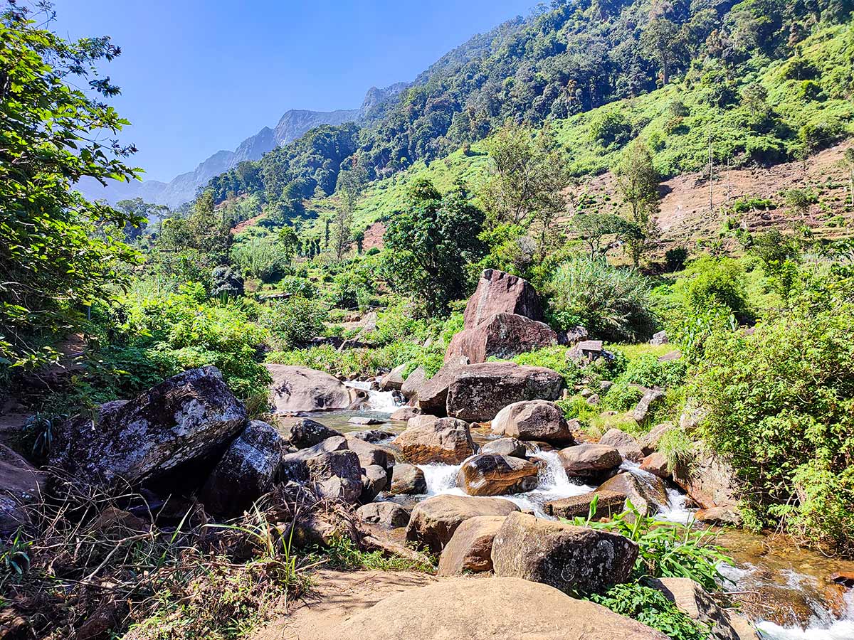
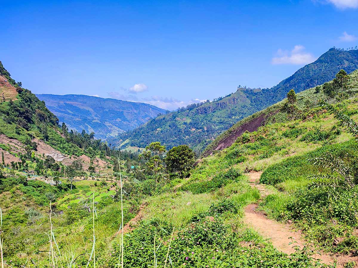
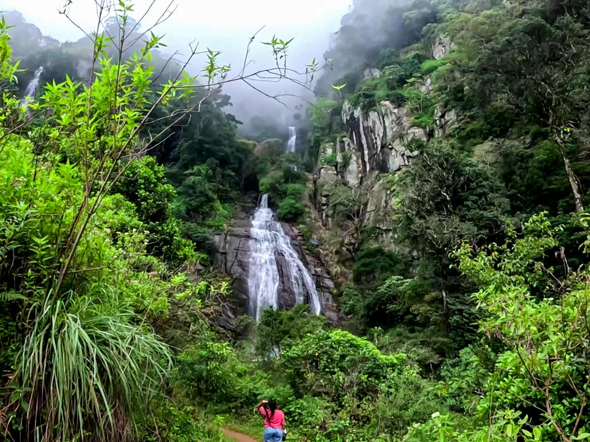
Government progress reporting has documented improvement work on the existing footpath to Kolapathana. Improvement does not mean that every section is level, dry, accessible to every visitor, or unaffected by maintenance. Steps, soil, stone, drainage crossings, and exposed sections can change with rain and use. Ask at the entrance about the current route and turn back if the path is closed or beyond the group's ability.
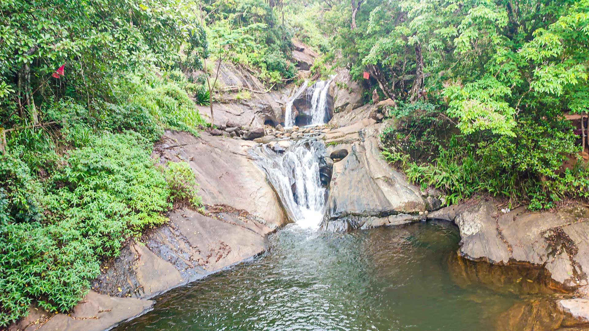
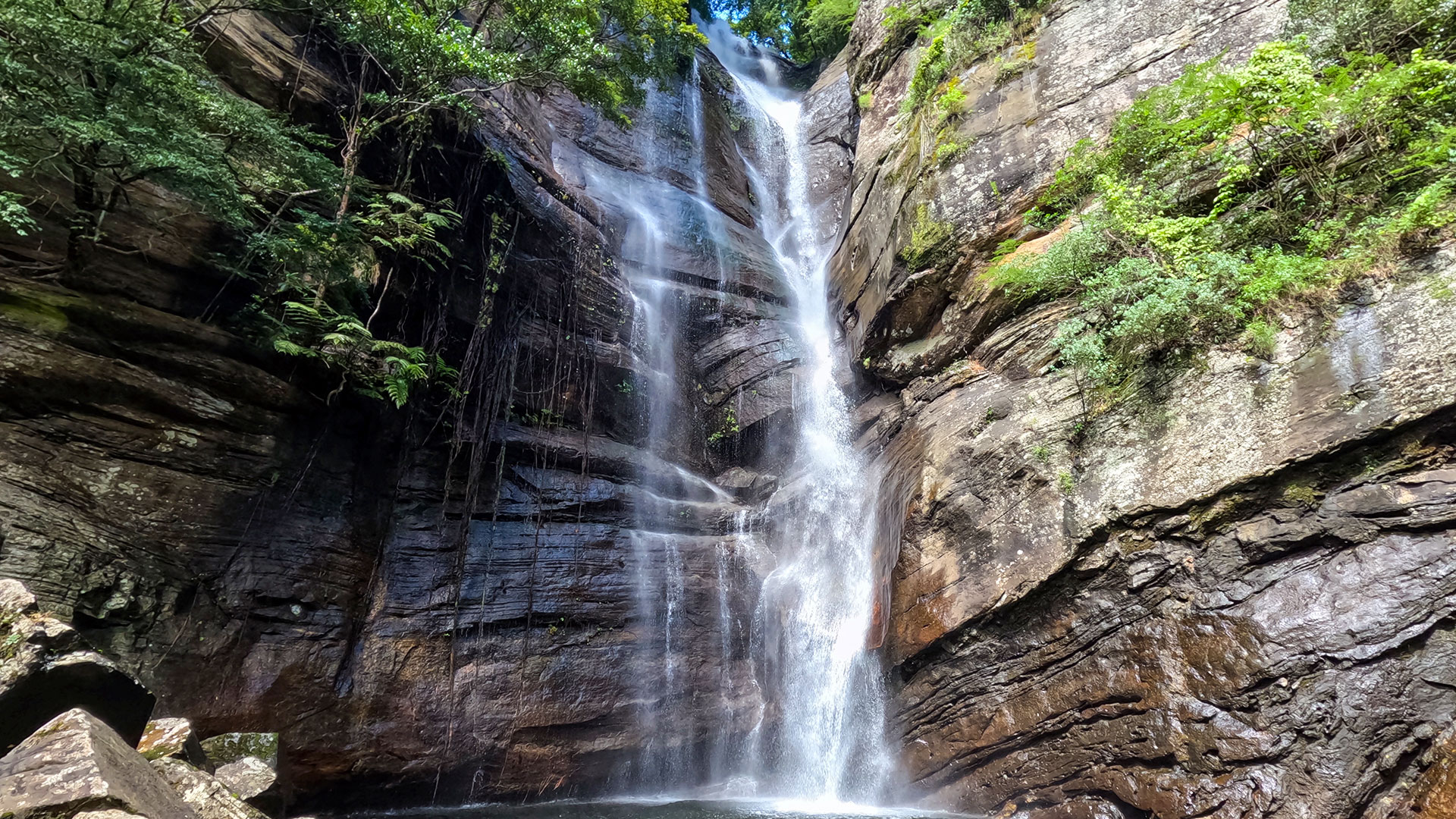
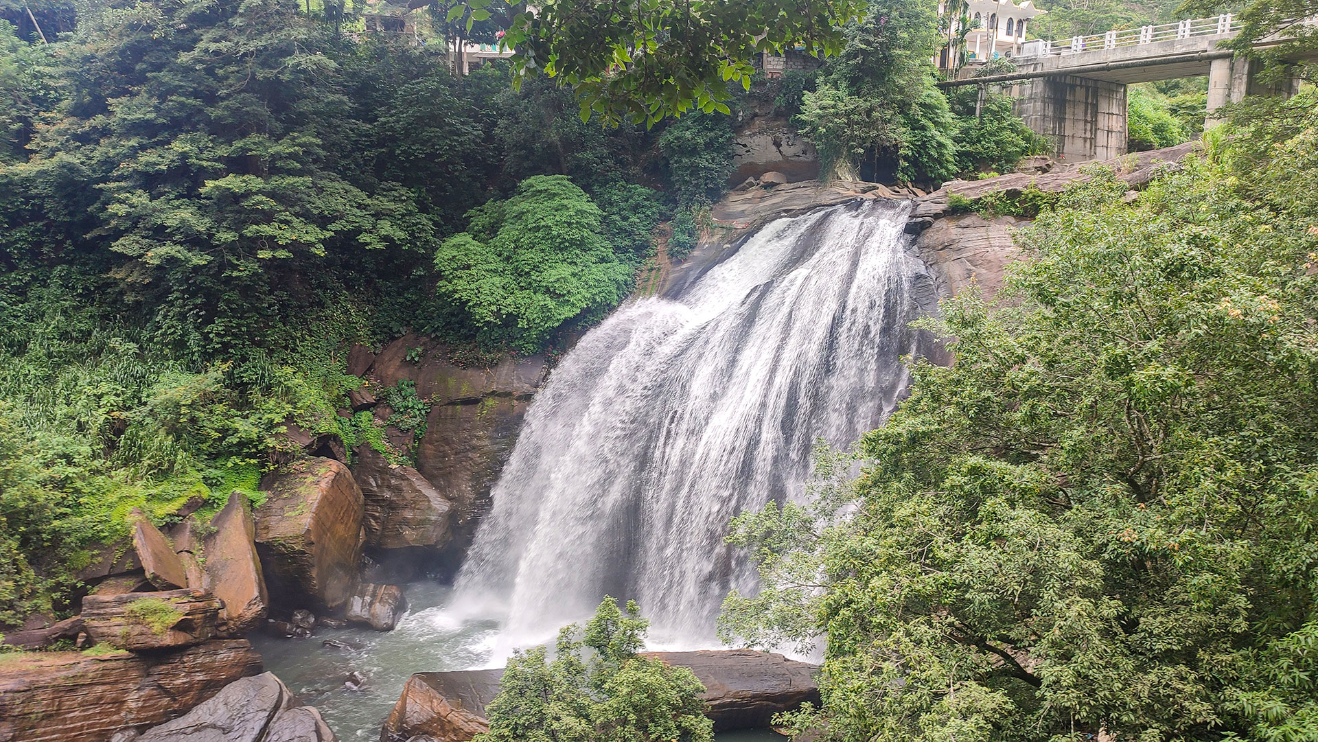
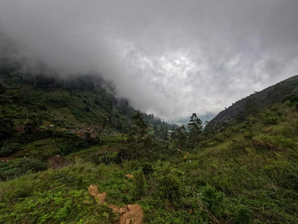
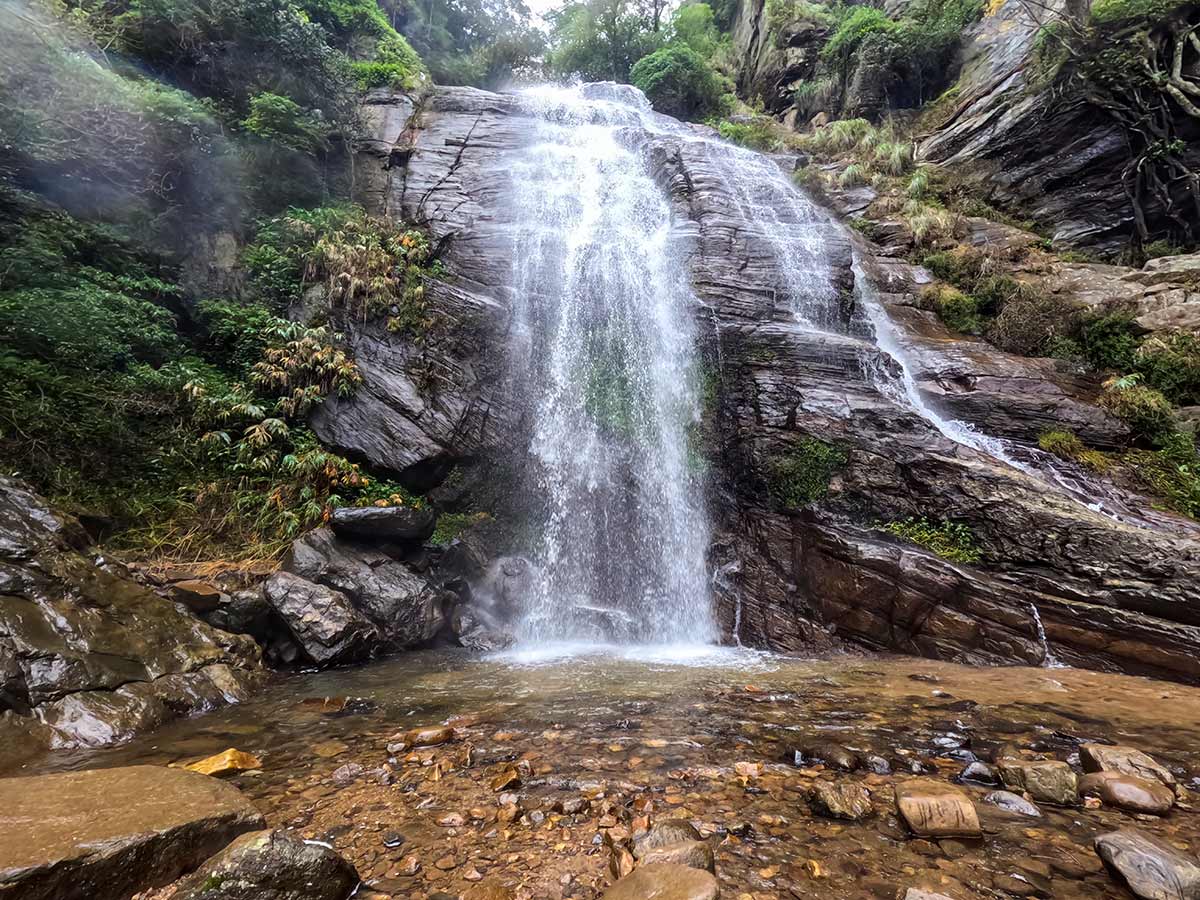
The water can appear as connected cascades when seen across the highland landscape. No dependable official height specification was found during this review, so this page does not repeat an unreferenced measurement. Recent rain can increase visible flow, but it also increases mud, spray, slippery surfaces, and stream danger.
Treat the ticket as permission to use the current visitor route, not as a guarantee that approaching the water or bathing is allowed or safe. Stay on the path, respect barriers, carry out waste, and avoid climbing rocks or entering water. A separately documented public bathing location in Mandaramnuwara does not establish that the waterfall itself is a bathing site.
Confirm the current charge, opening conditions, weather, and any maintenance restrictions before making the mountain-road journey. Carry water and rain protection and leave enough daylight for the complete return walk.
Waterfall planning
Access and viewing conditions
Check the approach, current path conditions, and appropriate starting point before visiting.
- Viewing conditions
- Suitable-weather daylight hours, Confirm current Forest Conservation access
- Fees and access
- A Forest Conservation entrance charge applies. Confirm the current local and foreign rates at the ticket counter.
Location
Mandaramnuwara, Nuwara Eliya District, Central Province
Getting to the waterfall
- From Colombo (~175 km • ~5:30 h)
Choose an approach
Select a marker to open that location in Google Maps.
Waterfall safety
Review these water, weather, and access notes before visiting
- Mountain roads can be slippery during rain.
- Follow current Forest Conservation signs and staff instructions; do not leave the visitor path.
- Avoid climbing wet rocks near the waterfall.
- The separately documented public bathing point in Mandaramnuwara does not establish that bathing at the waterfall is safe.
- Supervise children near water and steep edges.
Travel Tips
- Confirm current opening conditions and ticket rates before making the journey.
- Drive carefully on the narrow and winding Mandaramnuwara Road.
- Wear footwear suitable for a damp and sometimes slippery highland footpath.
- Allow enough daylight for the complete walk without assuming that visibility or trail condition will remain unchanged.
- Use the managed visitor path and follow current Forest Conservation signs and staff instructions.
Gallery
Where to go next
Continue planning
These suggestions use reviewed itineraries, routes, and travel groupings. Map closeness alone does not prove direct road or trail access, especially across mountain terrain. Check each guide's Access section before combining stops.