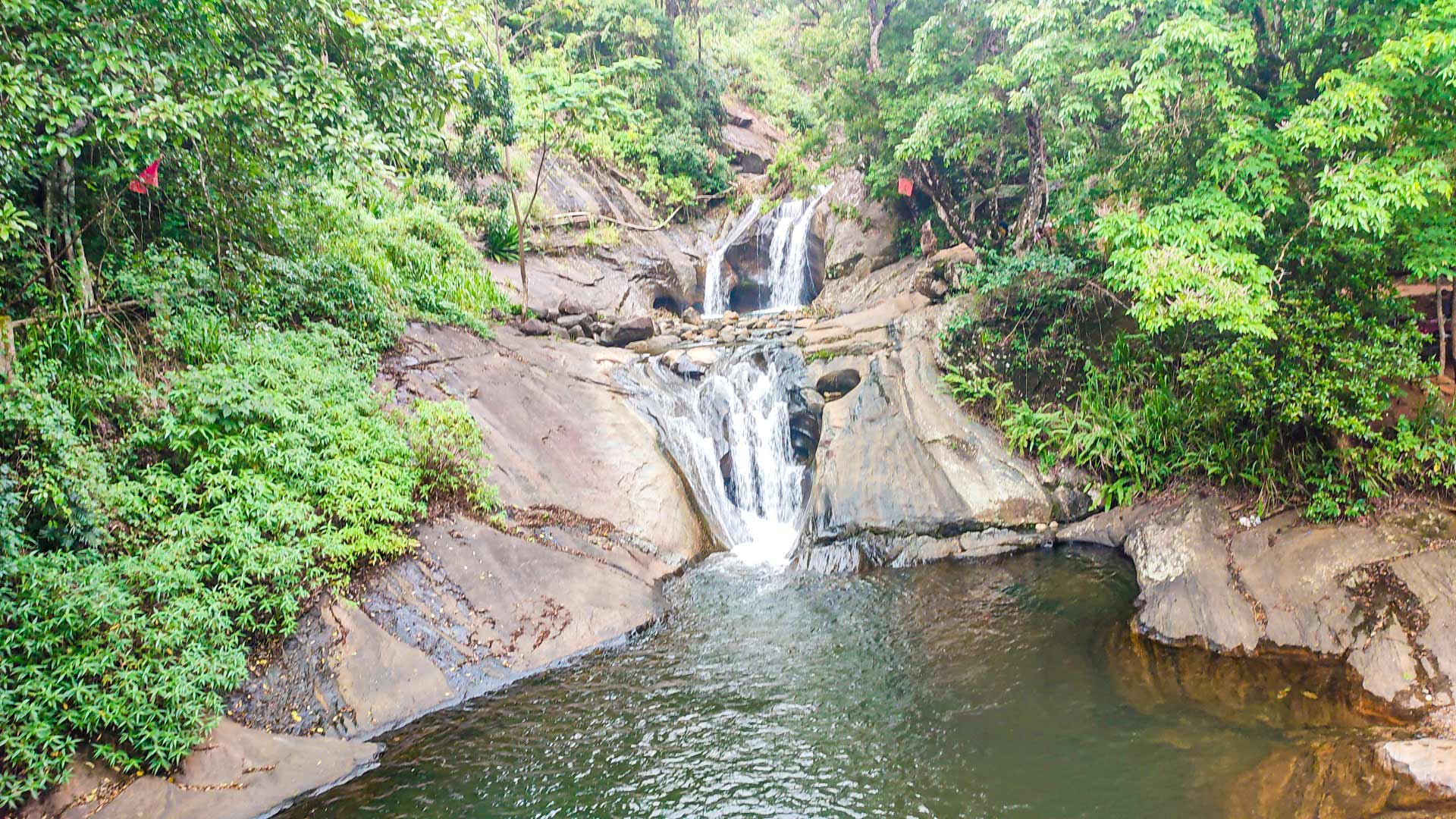
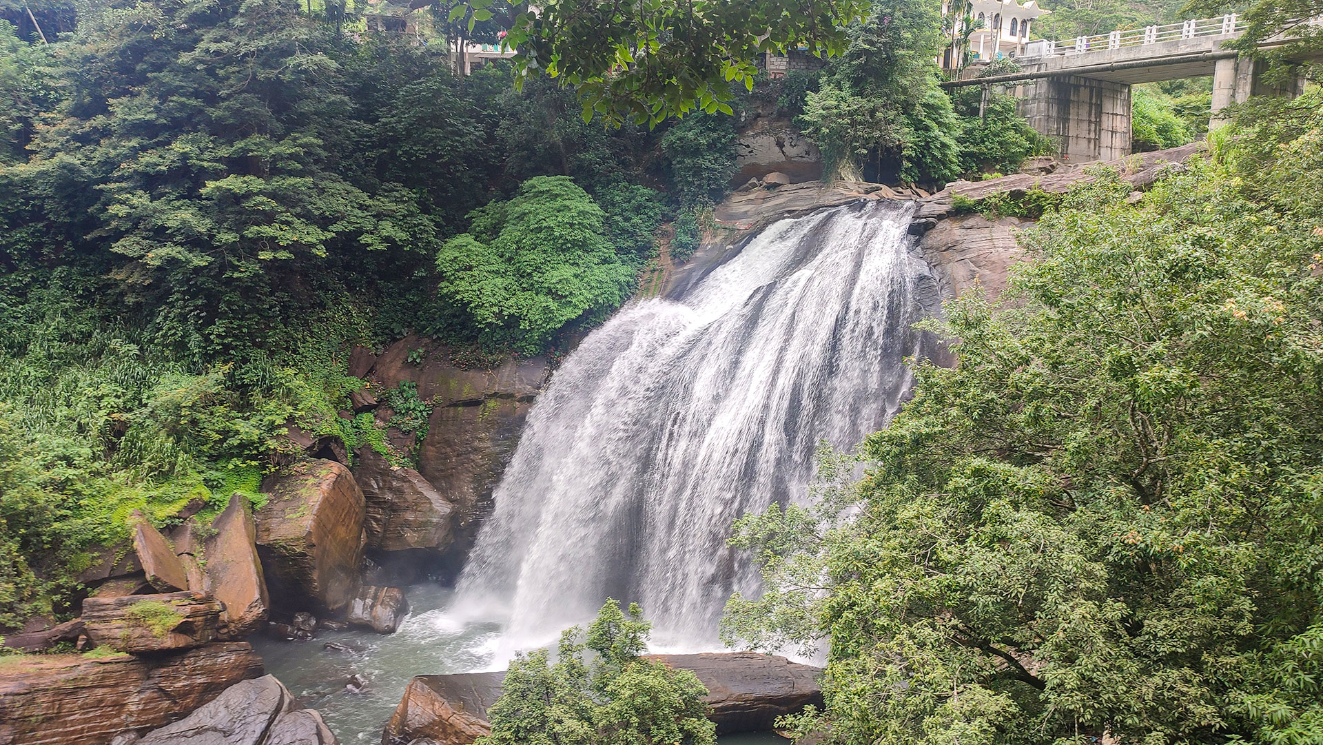
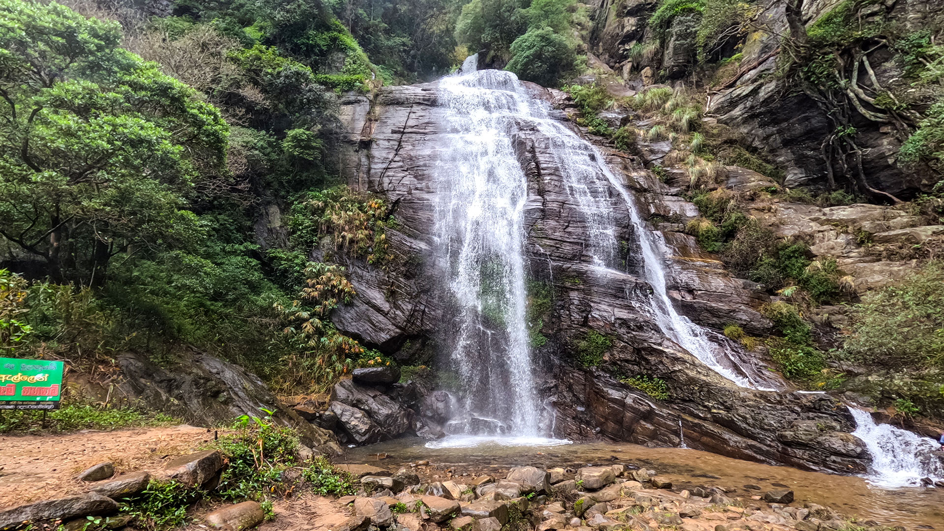
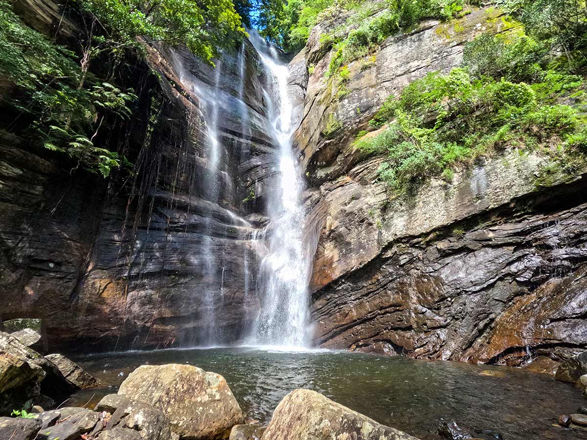
Diyakerella Waterfall
A remote waterfall location associated with the Meemure area, requiring locally confirmed directions and an experienced guide.
At a glance
Plan your waterfall visit
Check access effort and viewing conditions first, then review the approach and water-safety notes.
Travel distance
Access difficulty
Best viewing conditions
Access fee
Overview
Diyakerella is the locally used name recorded with this page's photographs and map markers in the wider Meemure area. It is not presented as a signed visitor site, and the marker alone is not enough to identify a safe approach through the surrounding Knuckles terrain.
The Central Province Tourism Department describes the approach to Meemure from the Kandy-Mahiyangana road through Hunnasgiriya and Loolwatte, with rougher road conditions beyond Loolwatte. This supports planning the journey to Meemure, but it does not verify the final route to Diyakerella. The waterfall approach must still be confirmed separately with a knowledgeable local guide, including the correct trailhead, land access, weather, and safe return time.
The useful decision for this destination is whether a guide from the local area can confirm the same waterfall, the current starting point, and permission for the intended path. If those three points cannot be matched, choose a documented Meemure or Knuckles attraction instead of searching the forest from coordinates.
Earlier copy attached an exact height, walking distance, stream system, and wildlife-corridor story to this name. Those details could not be confirmed in a dependable public record and have been removed rather than repeated as fact.
This is a remote guided outing, not a roadside stop. Allow daylight for an out-and- back journey, take food, water, rain protection, and basic first aid, and assume that phone coverage and emergency assistance may be unavailable on the approach.
Waterfall planning
Access and viewing conditions
Check the approach, current path conditions, and appropriate starting point before visiting.
- Viewing conditions
- Daylight hours in suitable weather, Only after confirming the route locally
- Fees and access
- Confirm locally (Confirm permissions, guide costs, and any current visitor charge locally.)
Location
Meemure, Kandy District, Central Province
Getting to the waterfall
- From Colombo (~195 km • ~6:15 h)
Choose an approach
Select a marker to open that location in Google Maps.
Waterfall safety
Review these water, weather, and access notes before visiting
- Do not attempt this remote route alone or without a locally confirmed route plan.
- Forest paths can become slippery, obscured, or unsafe during and after heavy rain.
- Mobile coverage may be limited; share the plan and expected return time with a trusted contact.
- Do not approach the waterfall edge, enter moving water, or climb wet rocks.
- Turn back if the route, weather, daylight, water level, or guide advice creates uncertainty.
Travel Tips
- Arrange an experienced local guide before travelling; do not rely on the map marker alone for navigation.
- Confirm the identity, starting point, route length, permissions, weather, and return time locally.
- Start with sufficient daylight and carry enough water, food, rain protection, and basic first-aid supplies.
- Wear footwear suitable for wet, uneven forest terrain.
- Respect village residents, private land, conservation rules, and guide instructions.
Scenic video
Experience the destination
Gallery
Where to go next
Continue planning
These suggestions use reviewed itineraries, routes, and travel groupings. Map closeness alone does not prove direct road or trail access, especially across mountain terrain. Check each guide's Access section before combining stops.