Adam's Peak - Hatton (Nallathanniya) Trail
The most popular and shortest trail to Adam's Peak, beginning at Nallathanniya and climbing 5 km to the 2,230 m summit.
Distance
Difficulty
Best Time to Visit
Entrance Fee
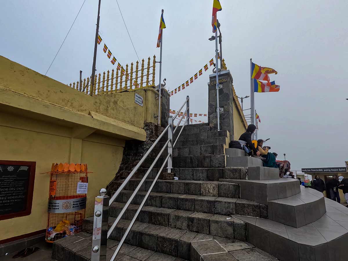
Overview
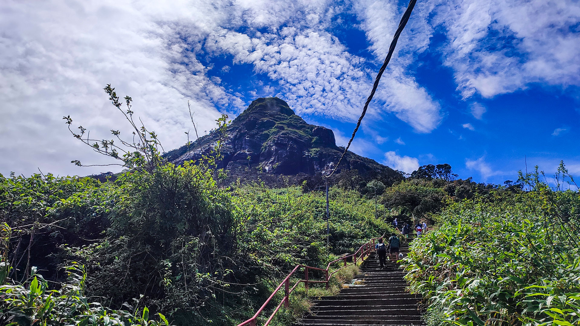
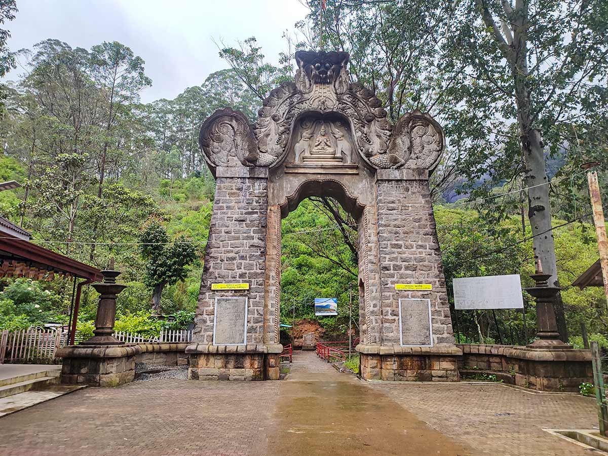
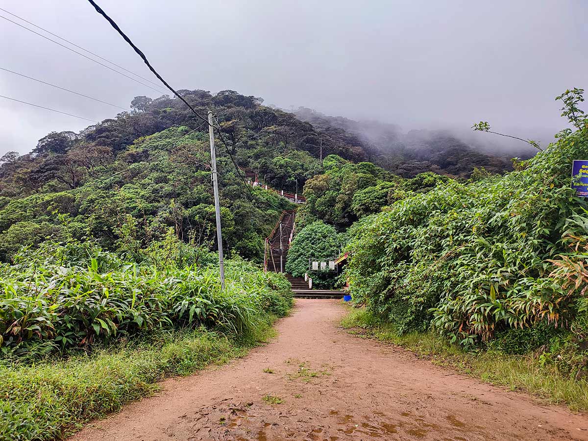
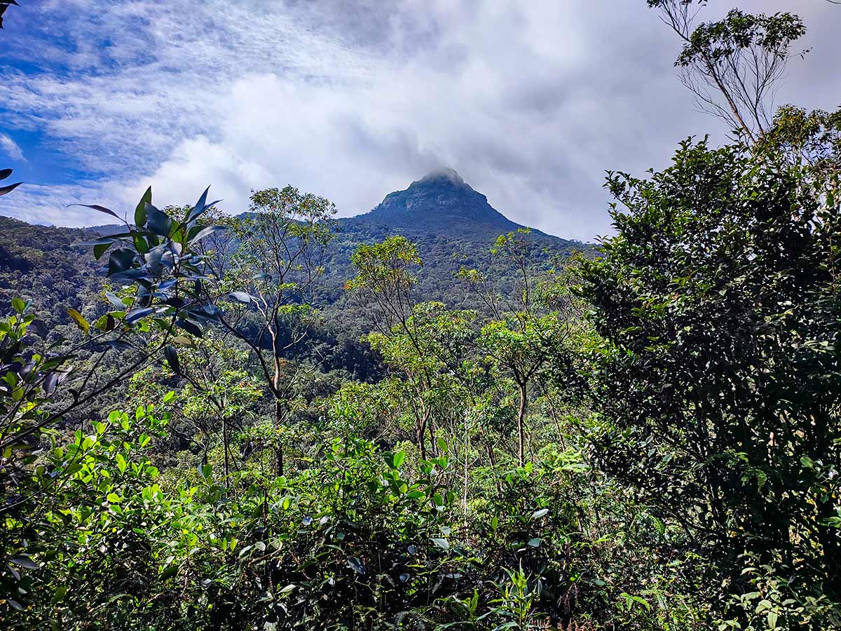
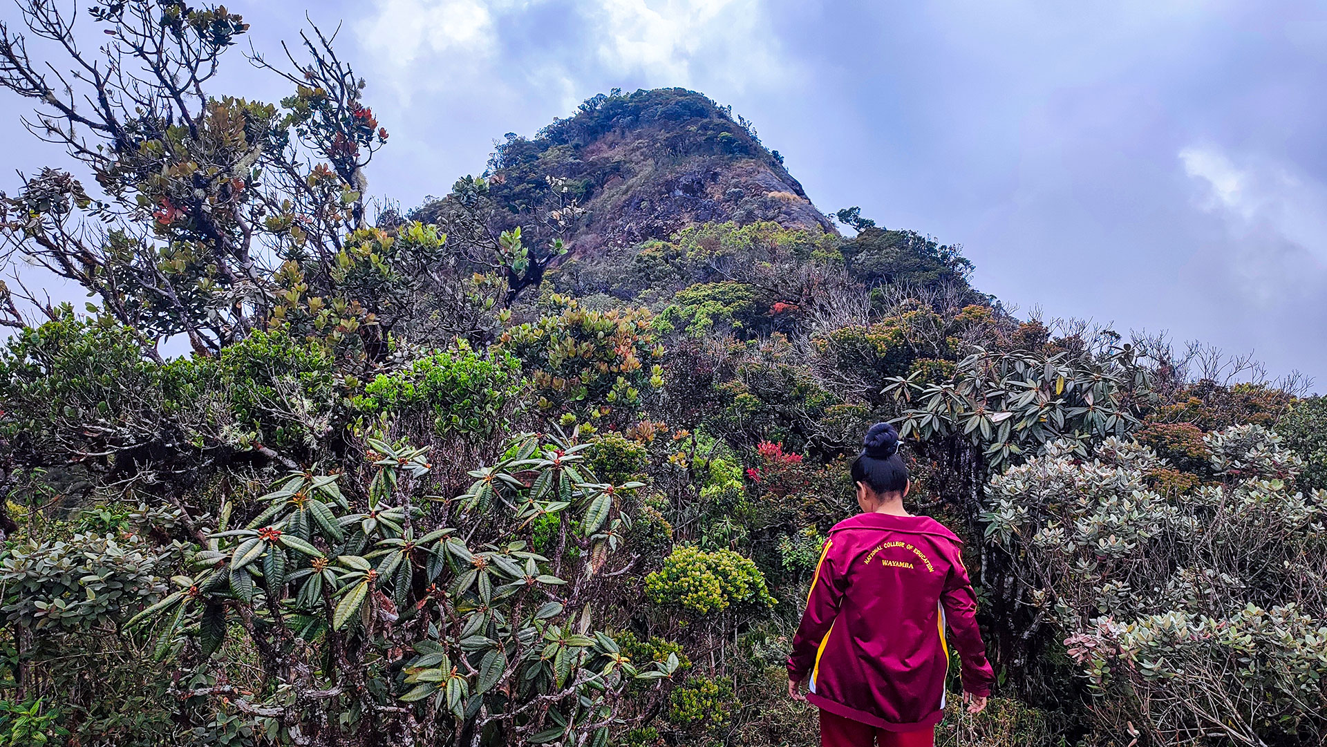
The Hatton - Nallathanniya trail is the most popular route to Adam's Peak (Sri Pada). Starting from Nallathanniya (Dalhousie Bridge), this 5 km trail climbs from 1,252 m to the 2,230 m summit.
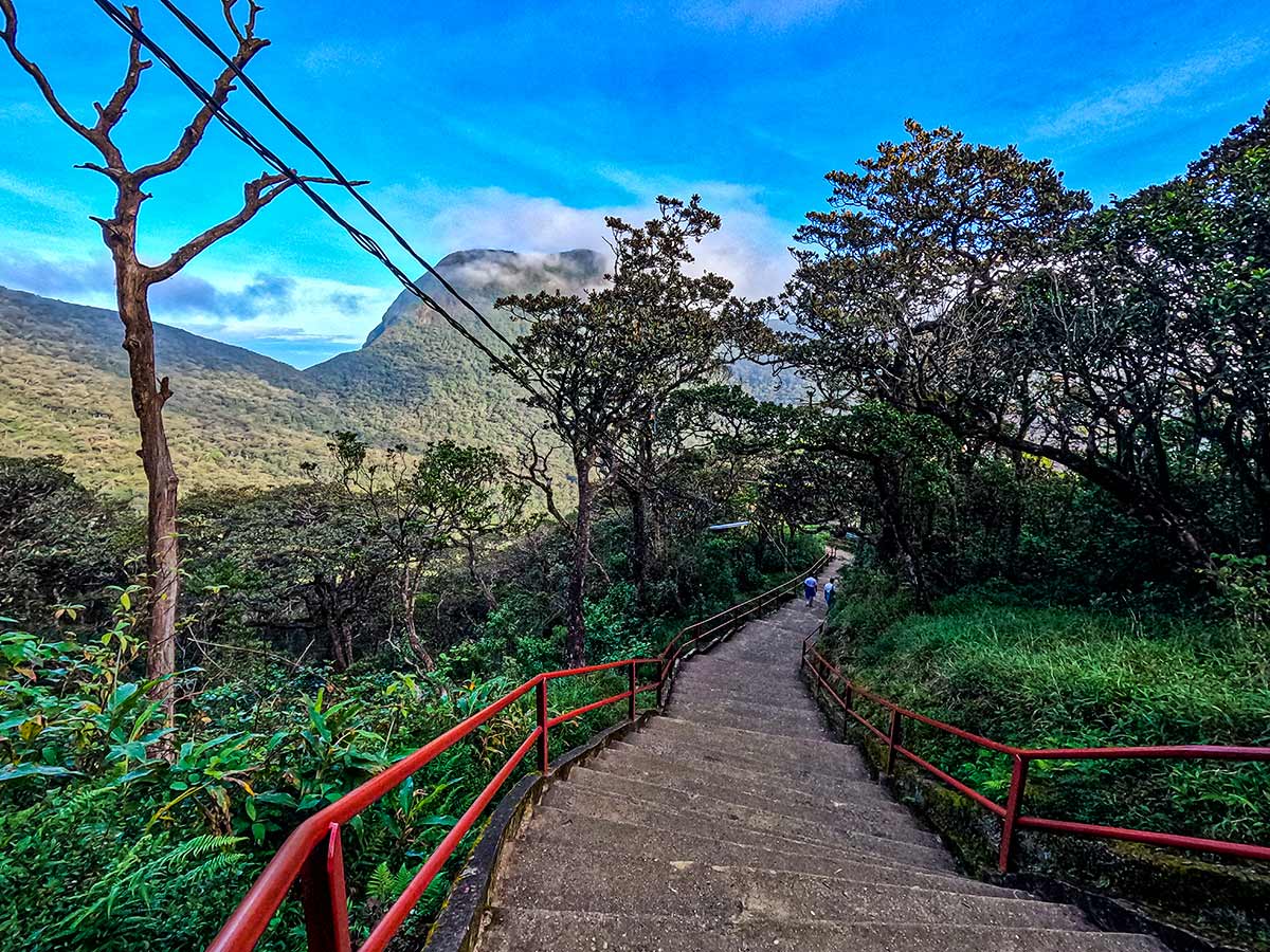
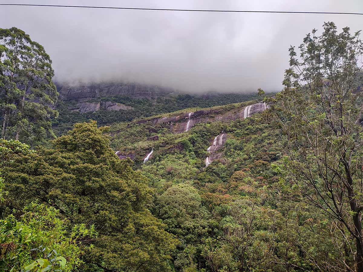
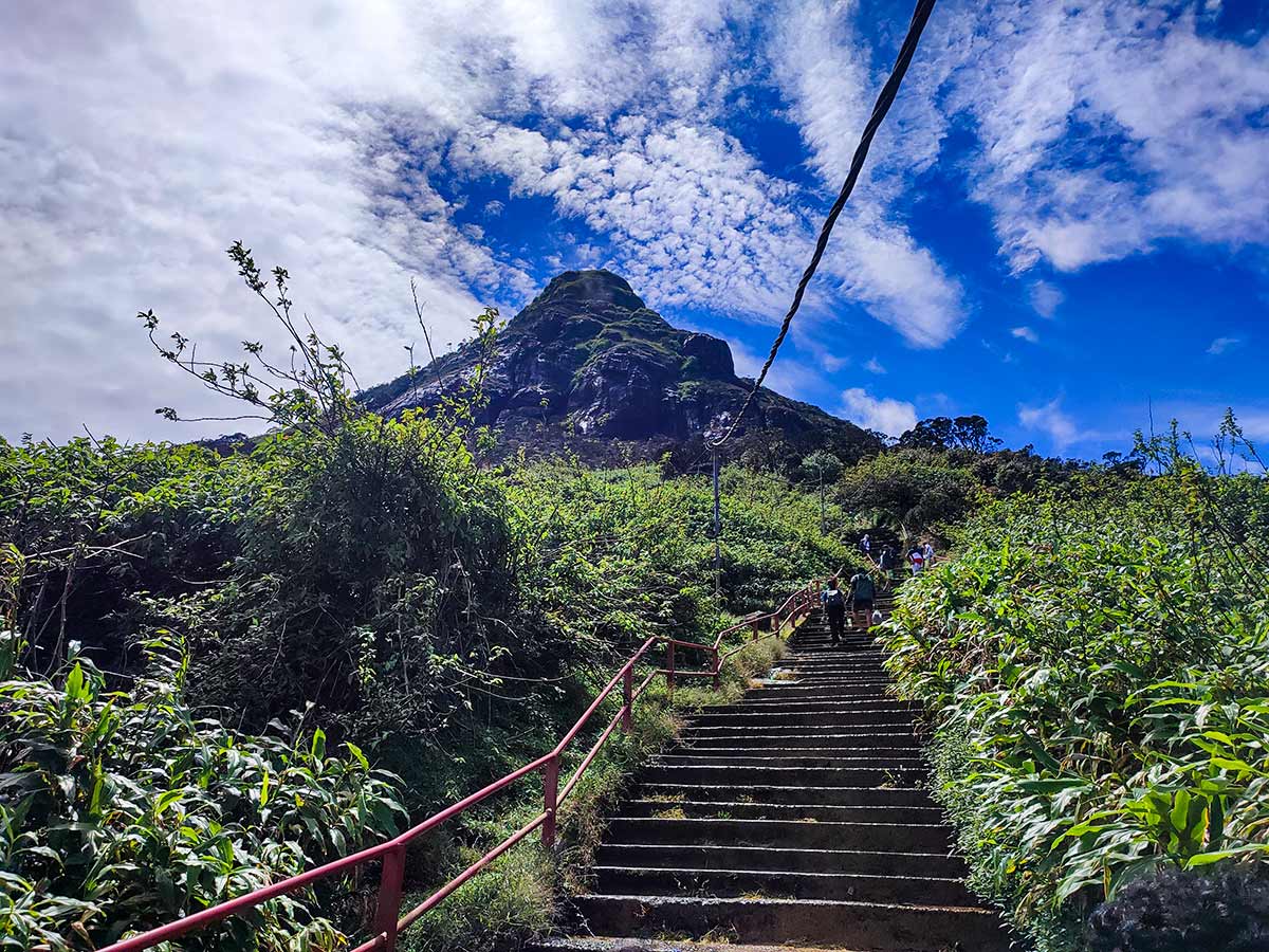
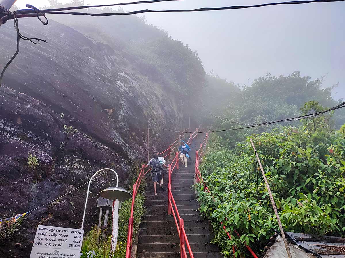
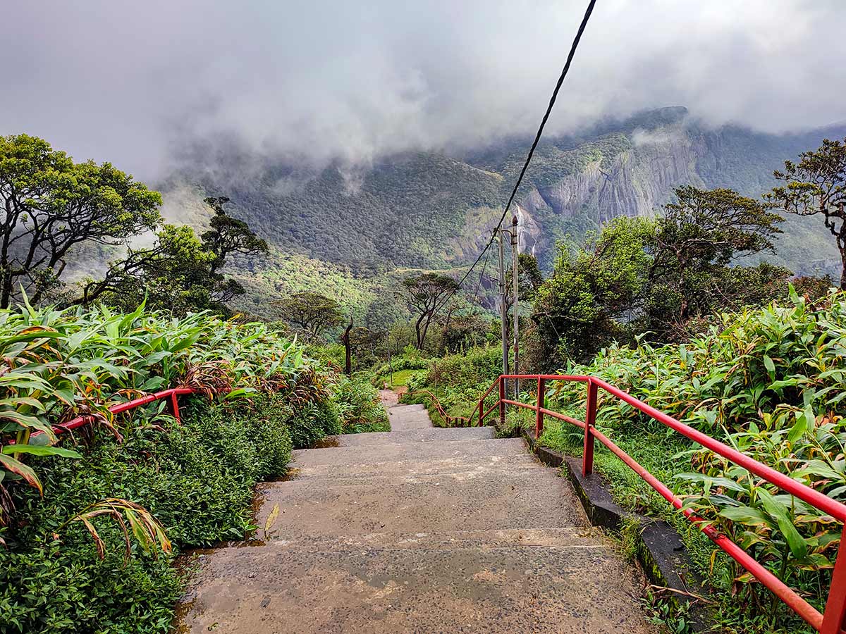
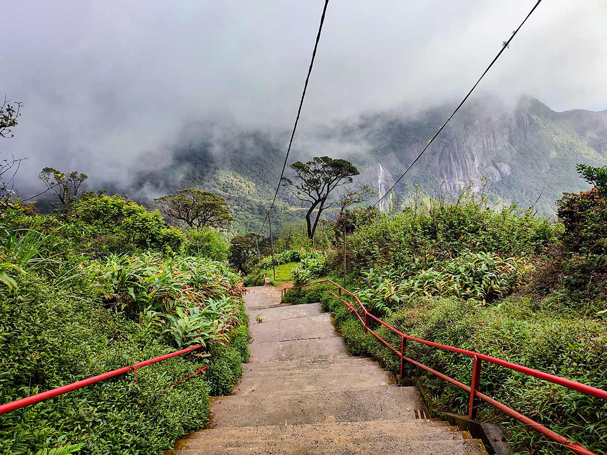
Among all conventional routes to Sri Pada, this is the shortest and begins at the highest elevation, resulting in the lowest overall elevation gain (approximately 1,000 m). The trail is well paved and mostly consists of cement steps, with steel handrails assisting the steepest sections.
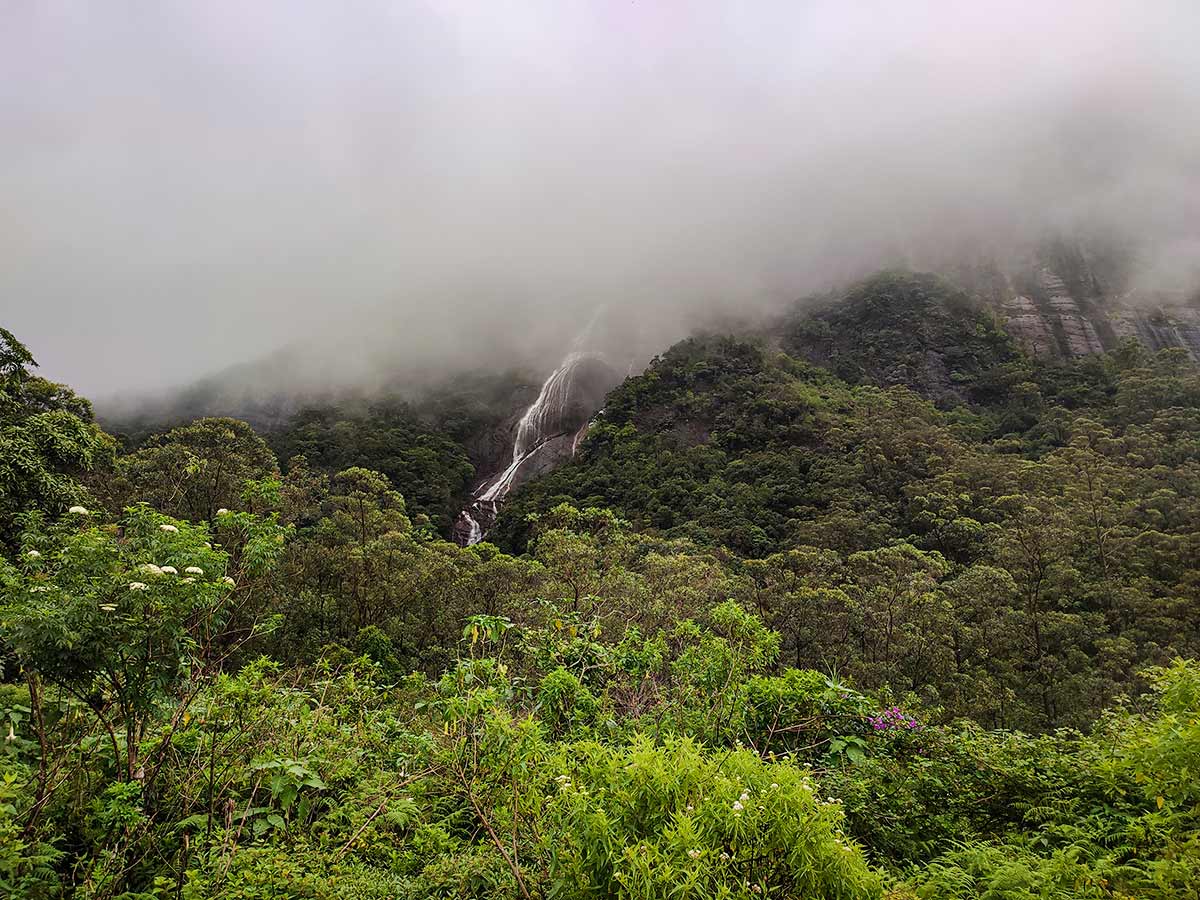
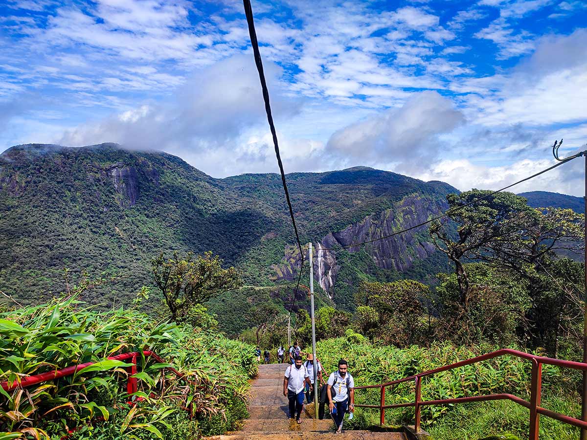
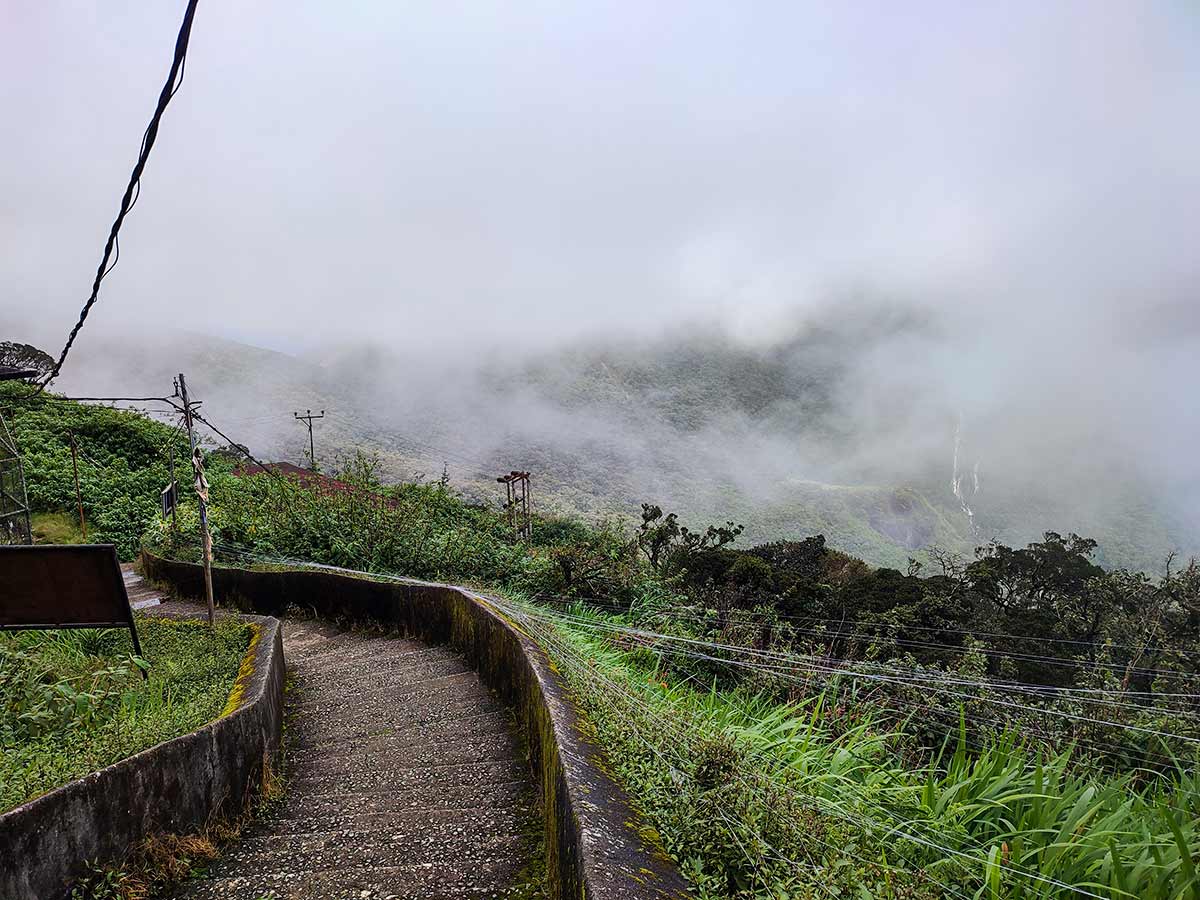
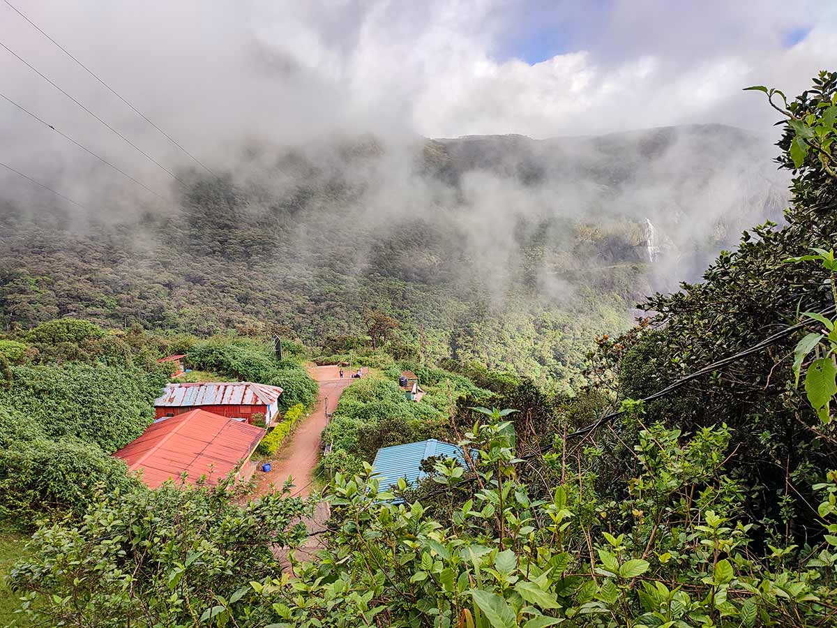
The first 2 km follows a gradual estate road with minimal ascent. After passing the Japanese Temple, the climb becomes steeper through the Peak Wilderness Sanctuary. Key rest points include Gangule Thenna and Seetha Gangula, where a small stream crosses the trail.
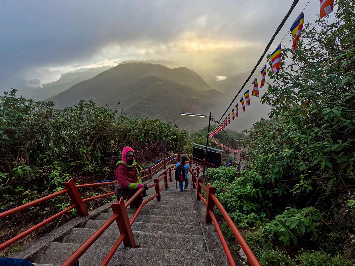
The final section known as "Mahagiridamba" is the steepest part of the climb, consisting of continuous steps supported by steel railings. Strong winds and cold conditions are common near the summit.
The official pilgrimage season runs from December to May, when the trail is illuminated and lined with small shops. Off-season climbs (preferably in July or August) offer quieter conditions but require extra caution due to weather.
The total hiking time is approximately 5-7 hours.
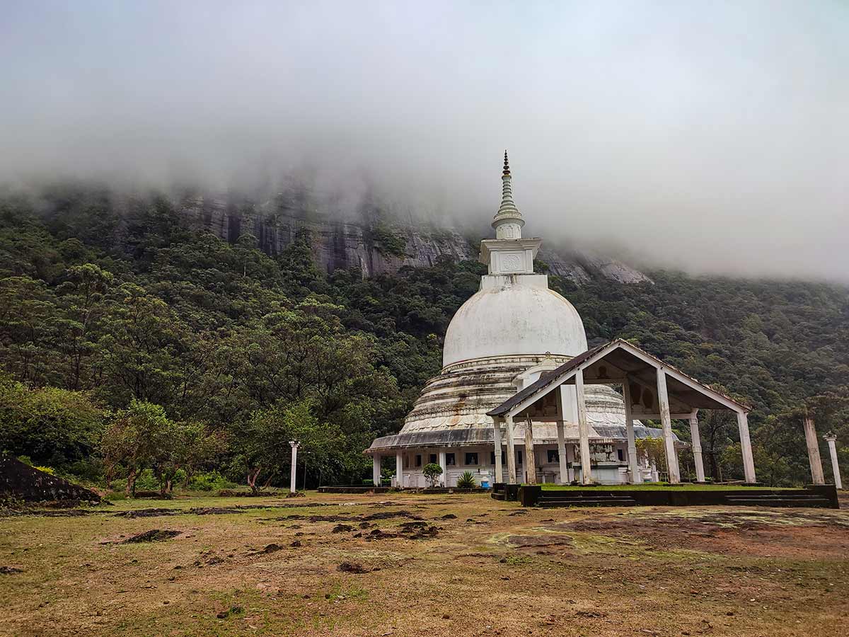
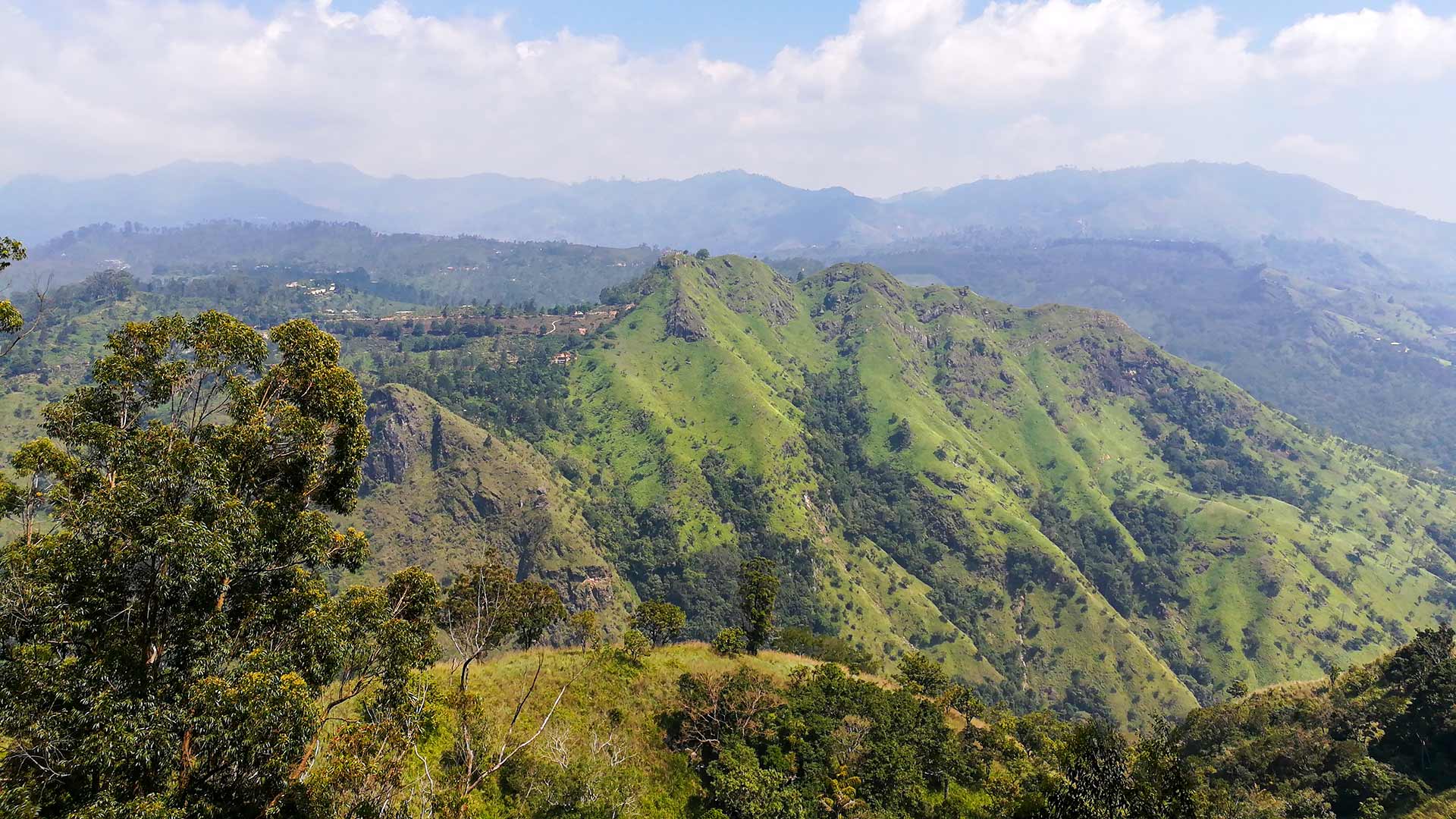
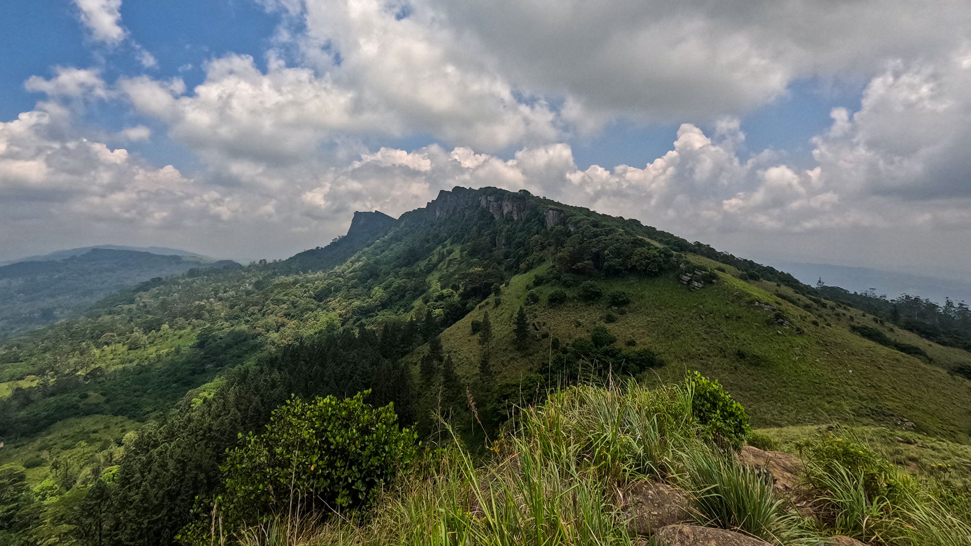
Gallery
🧭 How to Get There
📍 Location
Nallathanniya, Hatton, Nuwara Eliya District, Central Province
🚗 How to Reach
- From Colombo (~131 km • ~5 h)
🧭 Select your starting point
Click markers to open locations in Google Maps
Travel Guide
Travel Tips
- Start around midnight to reach the summit before sunrise.
- Wear warm clothing - summit temperatures can be very cold.
- Avoid full-moon (Poya) days if you prefer fewer crowds.
- Carry a water bottle and refill at rest points.
- Do not litter - protect the Peak Wilderness Sanctuary.
Safety Notes
Please read before visiting
- The final 750 m climb is very steep.
- Steps can be slippery during rainy months.
- Strong winds and low temperatures are common near the summit.
- Avoid climbing during heavy monsoon conditions.
Nearby Destinations
 Waterfall
Gartmore Falls
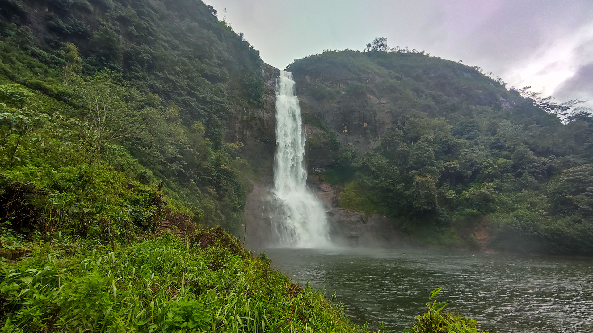
Gartmore Falls is a 25 m high waterfall located in Maskeliya near Sri Pada (Adam's Peak), within the Nuwara Eliya District.
View Details
 Waterfall
Lakshapana Waterfall
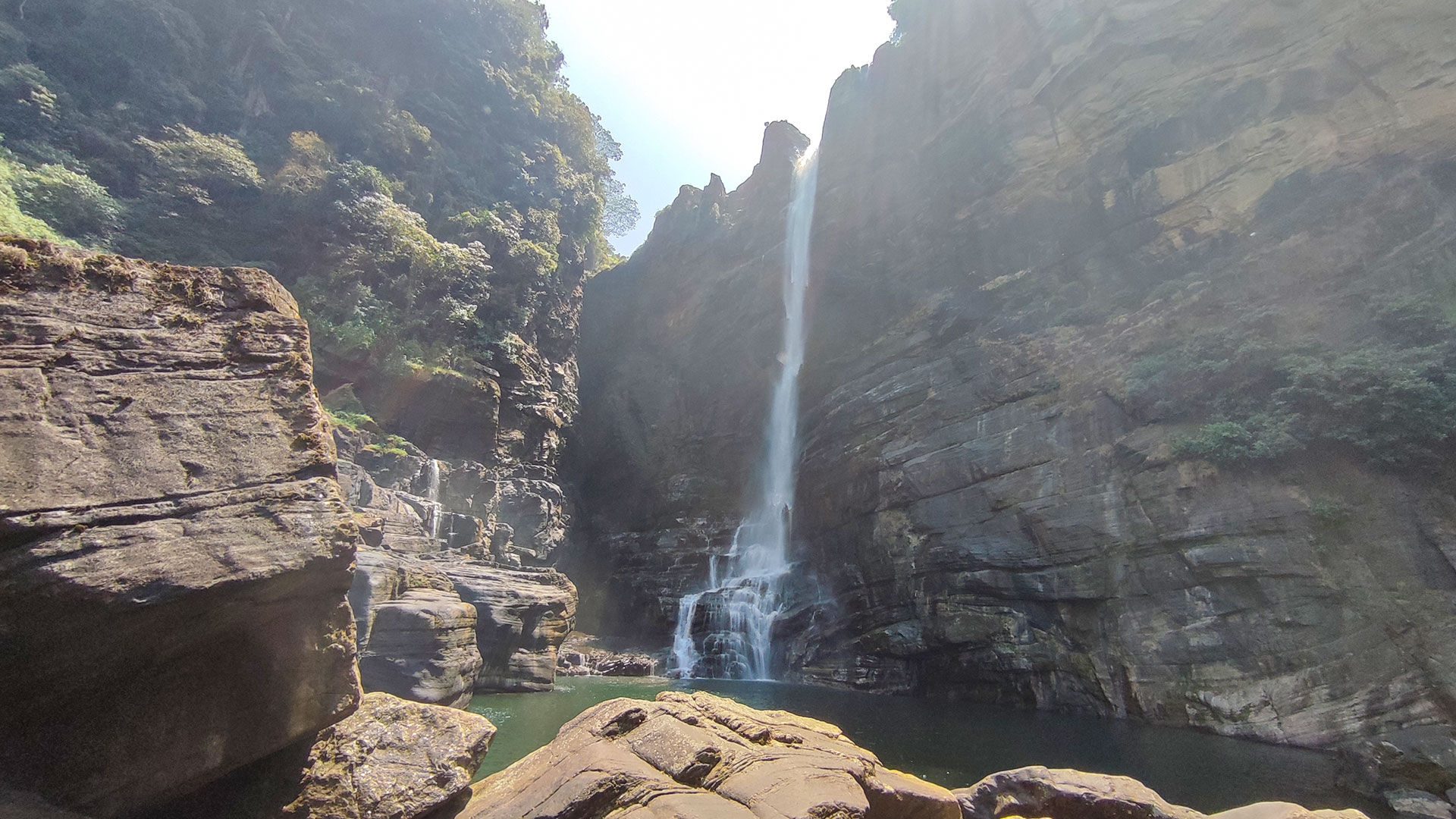
Lakshapana Waterfall (also known as Laxapana Falls) is a 129 m high waterfall located in the Maskeliya area of Nuwara Eliya District.
View Details
 Waterfall
Bolthumbe Ella (Aliya Wetuna Ella)
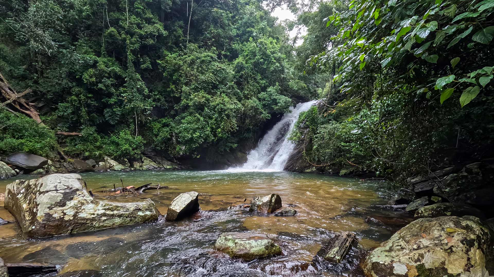
Bolthumbe Ella, also known as Aliya Wetuna Ella, is an 8 m high waterfall near Bolthumbe in the Balangoda area, accessible via a short jungle walk along Bothumba Oya.
View Details
Explore More Hiking Trails
 Hiking Trail
Kirigalpoththa
Kirigalpoththa is Sri Lanka's second highest mountain and the tallest peak open to public access, located in Horton Plains National Park.
View Details
 Hiking Trail
Ella Rock
Ella Rock is a scenic hiking trail near Ella town, known for its rewarding summit views and varied terrain through railway tracks, tea estates, and forest paths.
View Details
 Hiking Trail
Hanthana Mountain Range Trail
The Hanthana Mountain Range Trail is a popular hike near Kandy, featuring two route options and panoramic views from approximately 1,100 m elevation.
View Details