Laxapana Falls (Lakshapana Waterfall)
A 126 m waterfall formed by Maskeliya Oya, with separate upper and lower access areas that require careful safety planning.
At a glance
Plan your waterfall visit
Check access effort and viewing conditions first, then review the approach and water-safety notes.
Travel distance
Access difficulty
Best viewing conditions
Access fee
Overview
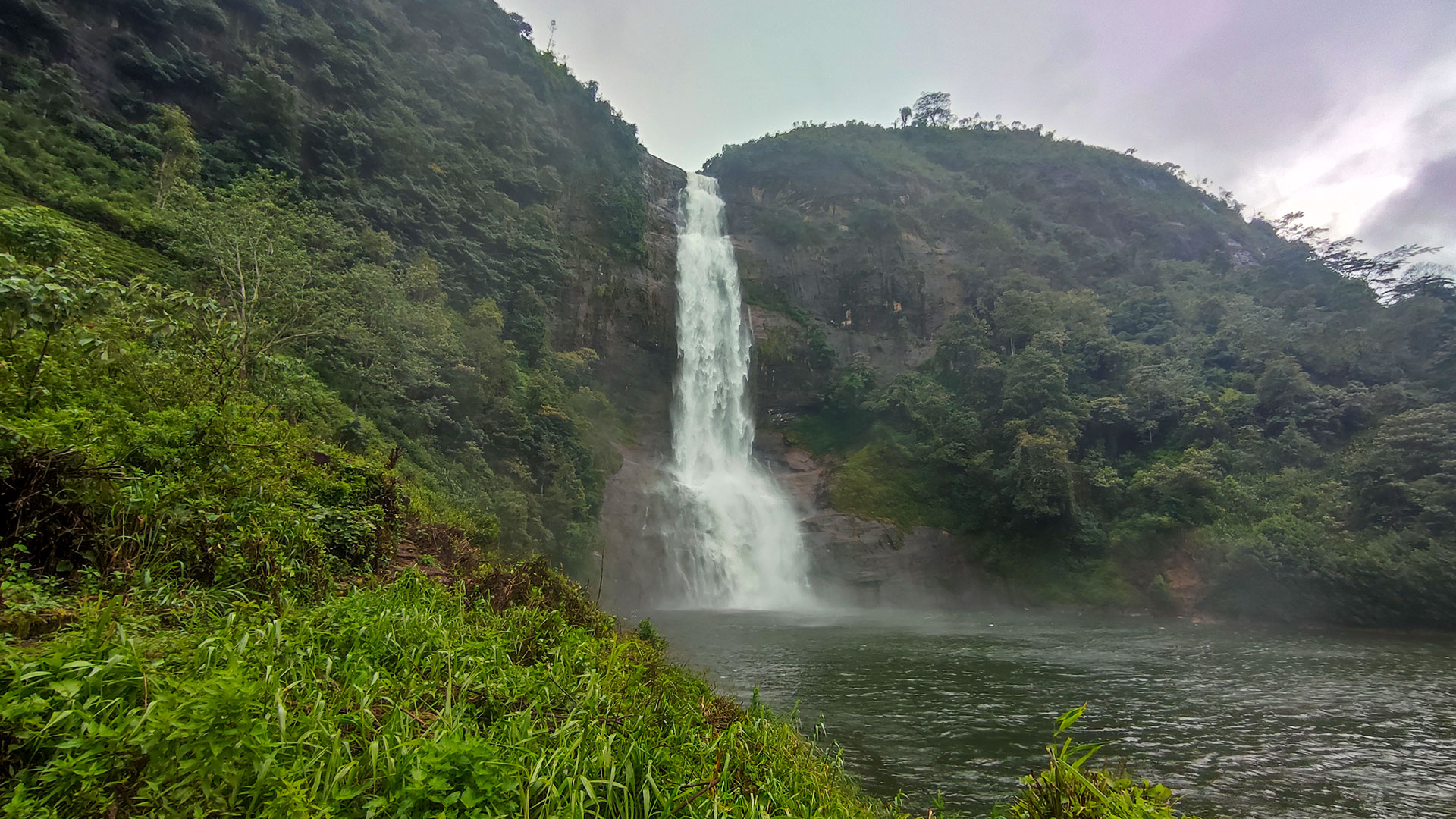
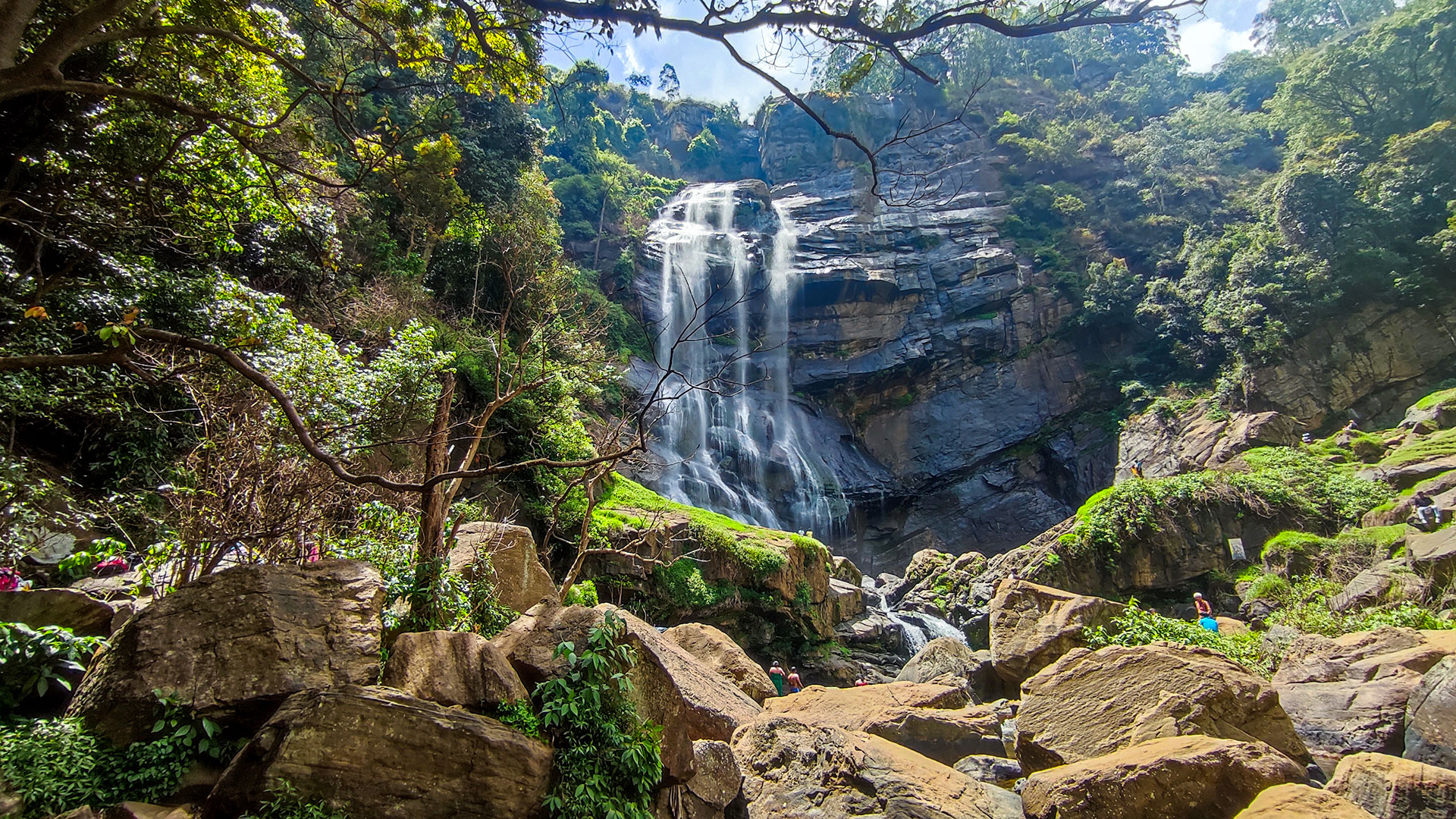
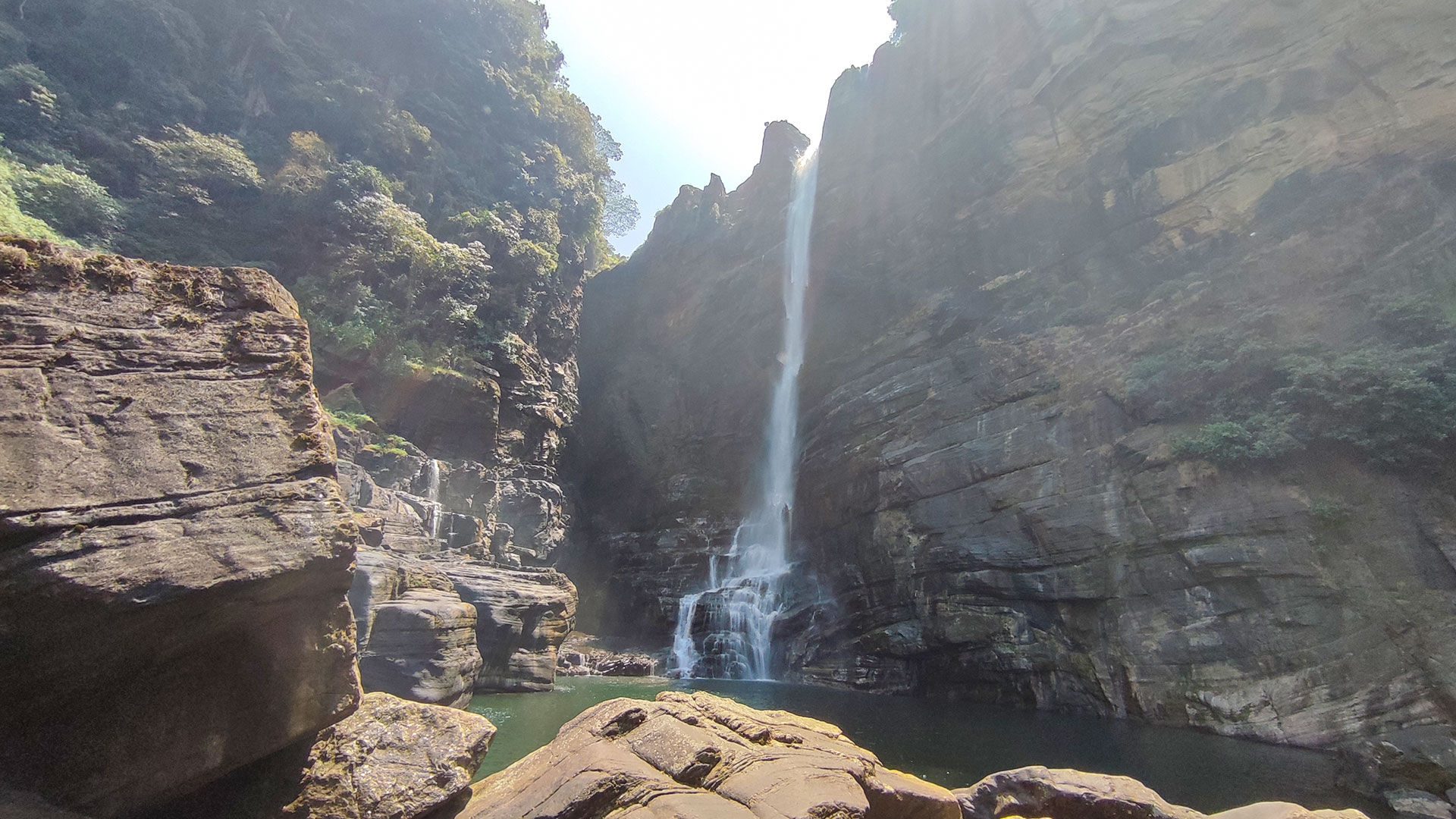
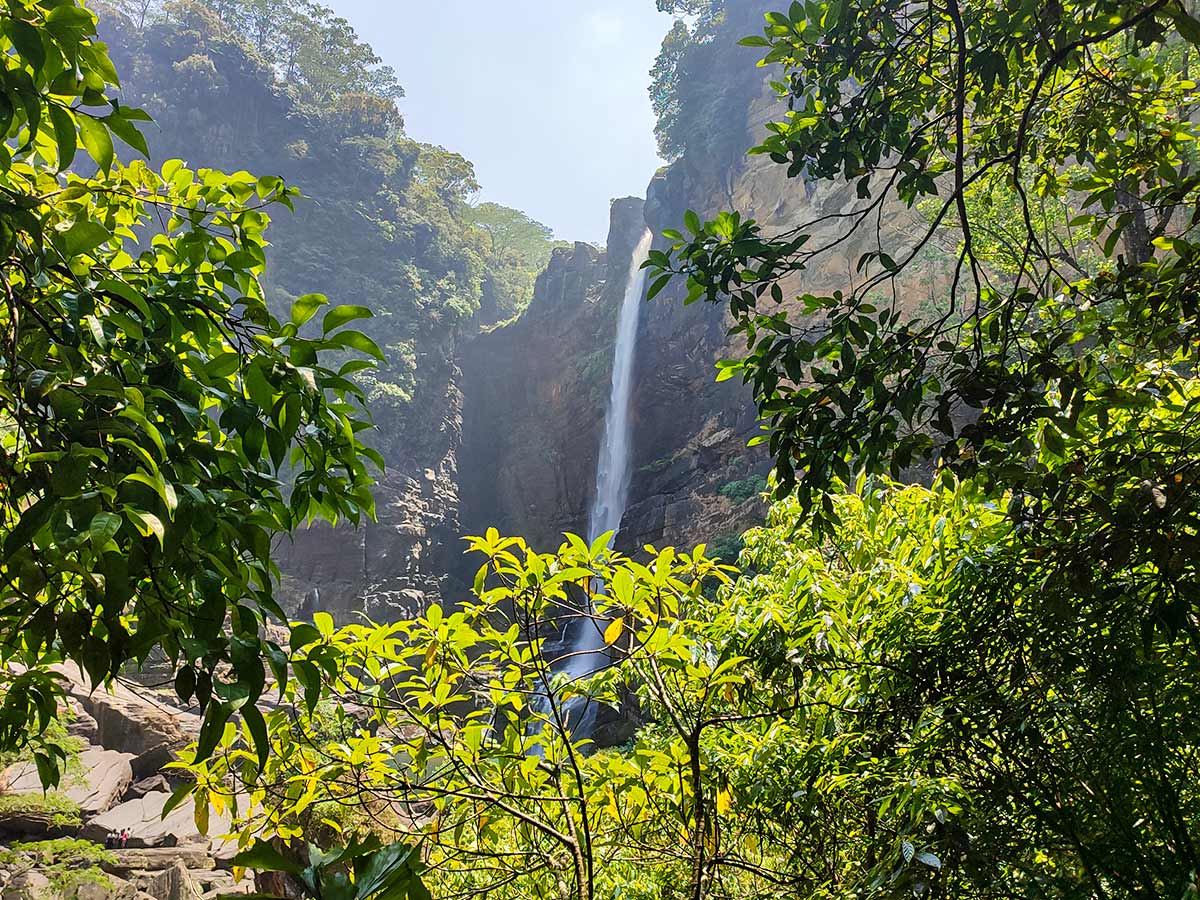
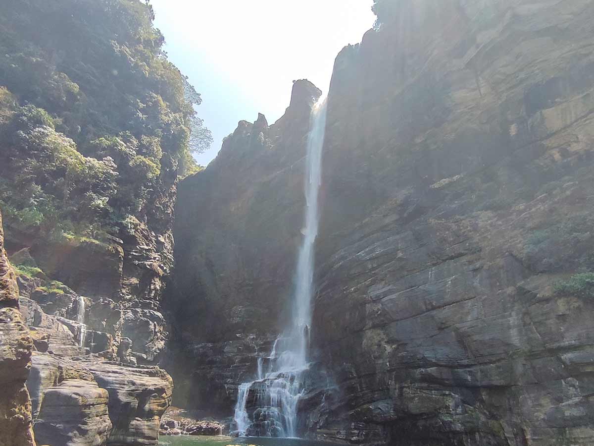
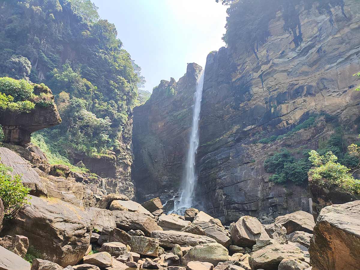
Laxapana Falls, also written as Lakshapana Waterfall, is a 126-metre waterfall formed by Maskeliya Oya in the Maskeliya area of Nuwara Eliya District. Sri Lanka Tourism describes access to both an upper area and a lower area, but they present different hazards and should not be treated as interchangeable viewpoints.
The pool below the waterfall is extremely deep and unsafe. Visitors should not bathe, swim, or approach the pool edge. The upper area also requires strict caution: upstream reservoir operations can cause a sudden increase in water level, while exposed rock surfaces can be wet, soft, and slippery.
This guide does not recommend attempting both access routes merely for different photographs. Before travelling, identify the intended access point and confirm its current condition with local residents, your accommodation, or a knowledgeable local guide. Remain well away from the upper drop, the base-pool edge, fast-moving water, and wet rock surfaces.
No reliable current official visitor-fee schedule or permanent seasonal recommendation was found when this page was reviewed. Confirm local access arrangements and weather close to the visit, use daylight hours, and postpone the trip during heavy rain or when local advice indicates unsafe conditions.
The Ceylon Electricity Board describes the wider Laxapana Complex as a network of reservoirs and power stations along Kehelgamu Oya and Maskeliya Oya. This operational context is another reason not to infer safe water conditions from the weather at the waterfall alone. The published visitor and CEB pages do not provide a public water-release schedule for planning a visit.
Waterfall planning
Access and viewing conditions
Check the approach, current path conditions, and appropriate starting point before visiting.
- Viewing conditions
- Daylight hours in suitable weather, Confirm current water and access conditions
- Fees and access
- Confirm locally (No reliable current official visitor-fee schedule was found.)
Location
Polpitiya - Hangarapitiya, Maskeliya, Nuwara Eliya District, Central Province
Getting to the waterfall
- From Colombo (~108 km • ~4 h)
Choose an approach
Select a marker to open that location in Google Maps.
Waterfall safety
Review these water, weather, and access notes before visiting
- The official tourism guidance describes the base pool as extremely deep and unsafe, including close to its edge; do not bathe or swim.
- At the upper area, upstream reservoir operations can cause sudden water-level increases.
- Wet and soft rock surfaces can be slippery; do not approach the upper drop or cross exposed rock near moving water.
- Turn back when rain, water level, visibility, path condition, or responsible local advice indicates that continuing is unsafe.
Travel Tips
- Choose either the upper or lower access area only after confirming its current condition; do not assume both should be attempted in one visit.
- Use daylight hours and postpone the visit during heavy rain, rising water, or unsafe local conditions.
- Wear footwear suited to steep, wet, and slippery ground and remain on the locally confirmed access path.
- Keep well away from the base-pool edge, upper drop, fast-moving water, and exposed wet rock.
- Ask a knowledgeable local guide for help when the current approach or safe viewing area is unclear.
Gallery
Where to go next
Continue planning
These suggestions use reviewed itineraries, routes, and travel groupings. Map closeness alone does not prove direct road or trail access, especially across mountain terrain. Check each guide's Access section before combining stops.