Kirigalpoththa
A demanding 14 km return summit hike from the Horton Plains visitor centre, crossing marsh, cloud forest, and steep rock to reach 2,388 m.
At a glance
Plan your hike
Check the walking effort and best conditions first, then review the trail approach and safety notes.
Travel distance
Walking difficulty
Best hiking conditions
Access fee
Overview
Kirigalpoththa reaches 2,388 metres above mean sea level and is Sri Lanka's second-highest mountain. The visitor experience is a long summit out-and-back, rather than the marked sightseeing circuit used for World's End, Mini World's End, and Baker's Falls.
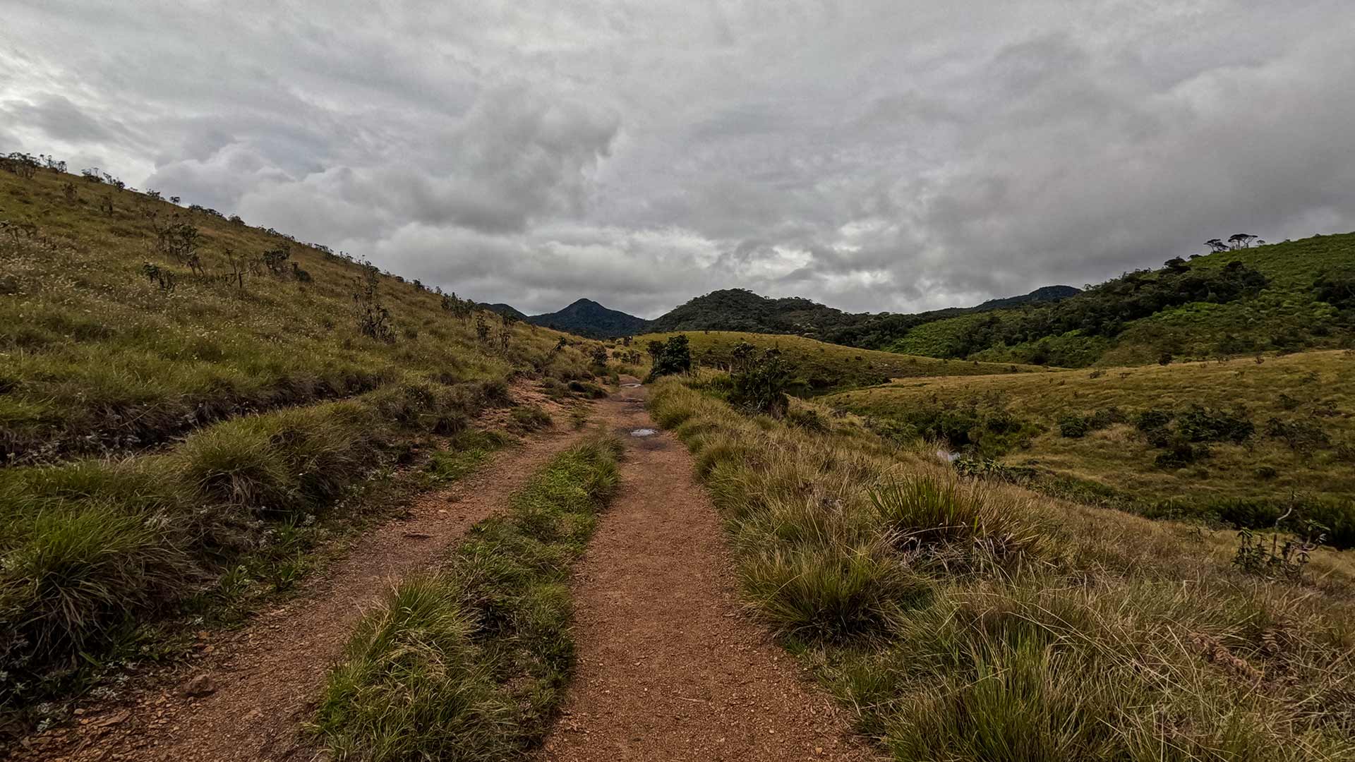
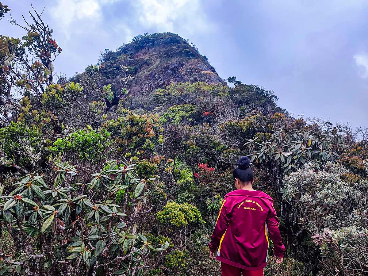
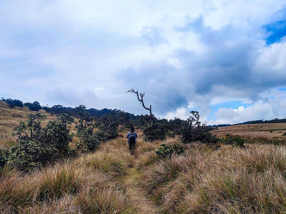
The route begins at the Horton Plains Visitor Centre and covers about 7 km each way. Its challenge comes less from total elevation gain than from the distance, high-altitude exposure, wet ground, vegetation, and final rocky sections encountered before the summit.
The trail gains approximately 252 metres in elevation, starting from around 2,139 metres and reaching 2,388 metres at the summit. The official tourism guide estimates about 5.5 hours for the hike. Visitors should treat it as a demanding high-altitude outing and allow time according to their pace, weather, and trail conditions.
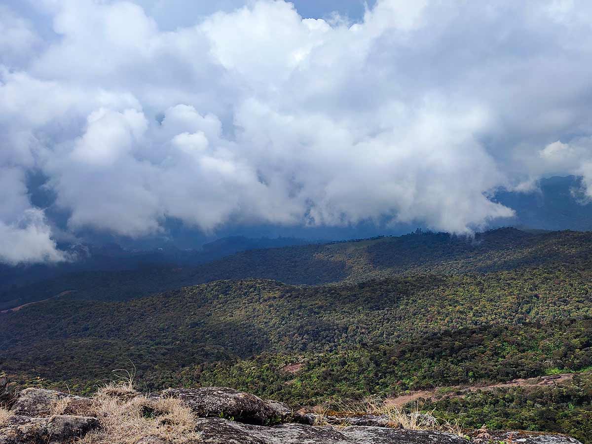
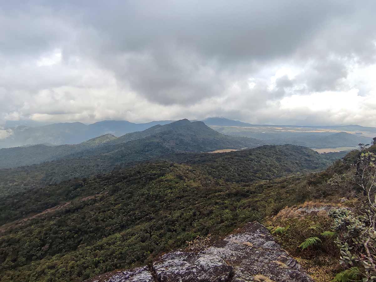
Cold rain, low cloud, and strong wind can change the character of the hike quickly. A clear view is not guaranteed, and reaching the summit should not take priority over a safe return within park instructions and available daylight.
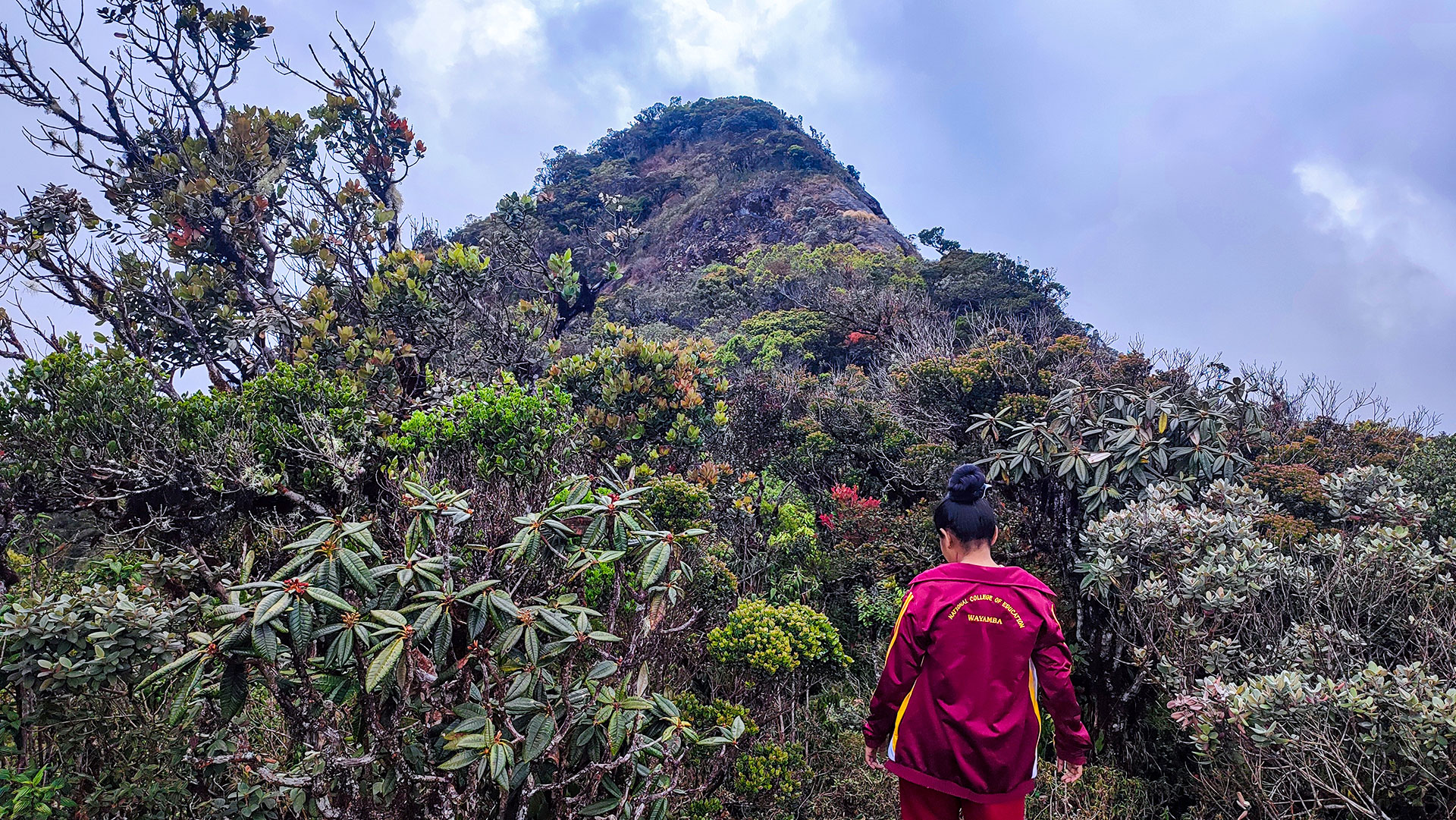
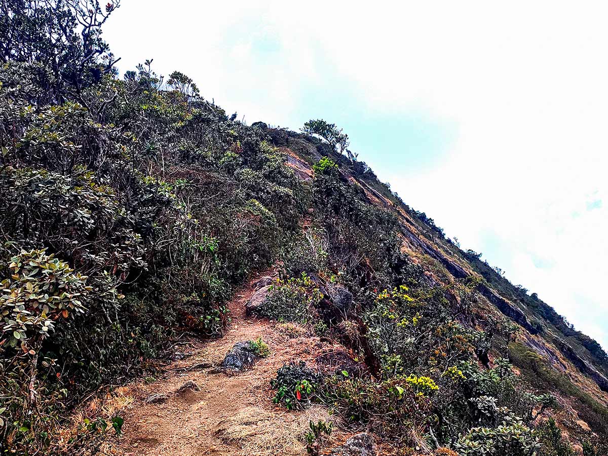
The route can include marshy ground, overgrown sections, steep rock, and difficult navigation when mist closes in. Hikers should remain on the established route and confirm current access requirements with park staff before attempting the summit.
Hike planning
Trail access and navigation
Check the approach, walking conditions, and correct starting point before setting out.
- Walking conditions
- When Horton Plains access and trail conditions are suitable, Begin with enough daylight for park requirements
- Fees and permissions
- A national park permit and entrance fee are required. Confirm current access conditions and fees with the Department of Wildlife Conservation or park staff before visiting.
Location
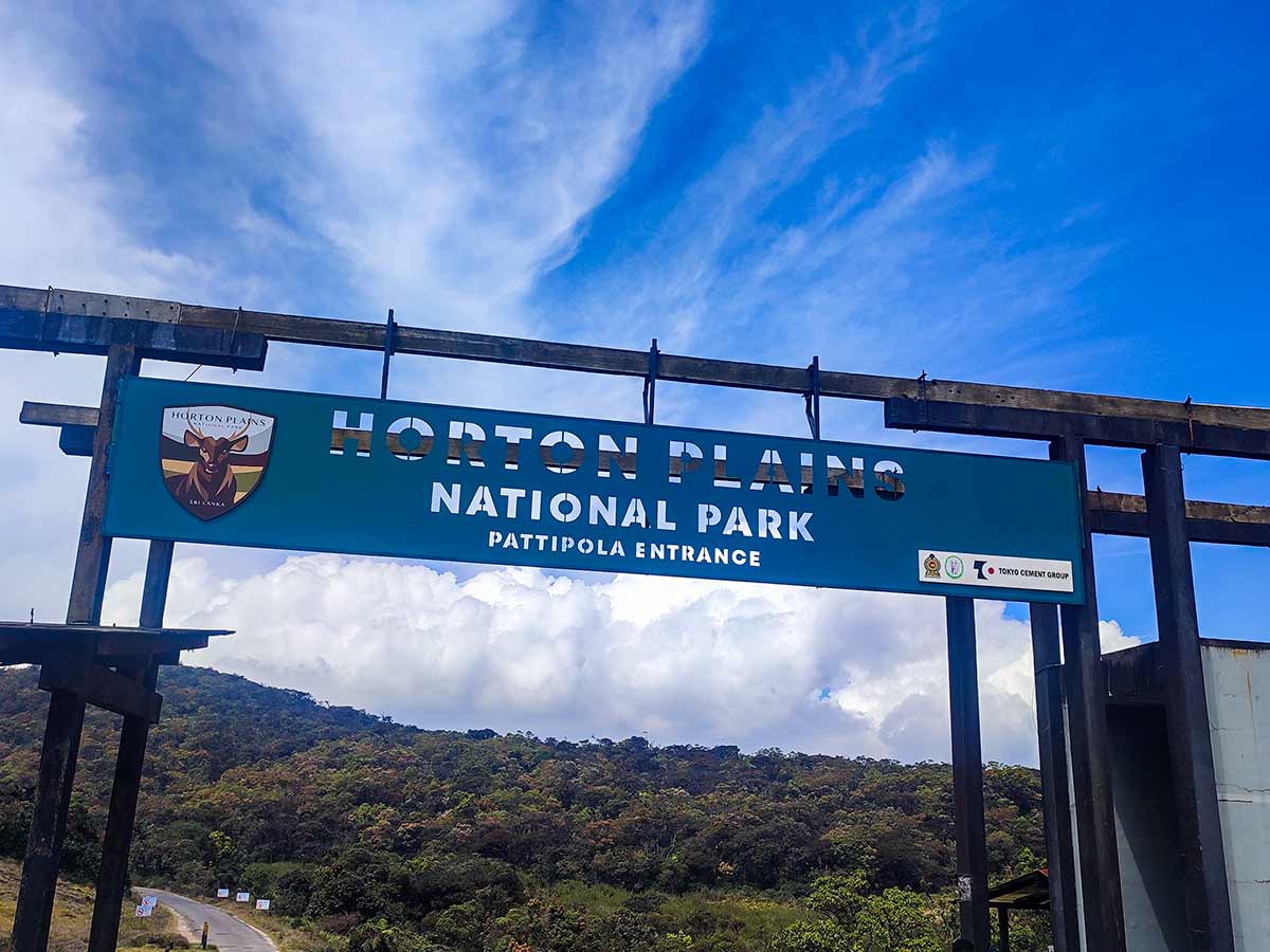
Horton Plains National Park, Nuwara Eliya District, Central Province
Getting to the trail
- From Colombo (~181 km • ~6 h)
Choose a trail approach
Select a marker to open that location in Google Maps.
Trail safety
Review these trail-specific notes before setting out
- Weather can change rapidly in the highlands.
- Strong winds are common near the summit.
- Marshy and overgrown sections can make the route difficult to follow - stay on the established path.
- Mist can reduce visibility and make navigation difficult; turn back if you cannot follow the route safely.
- Leeches may be present during rainy months.
Travel Tips
- Carry enough water and food for a demanding hike estimated at about 5.5 hours, with extra allowance for conditions and stops.
- Wear warm, wind-resistant layers because highland weather can change rapidly.
- Use proper hiking footwear for marshy ground, mud, vegetation, and steep rock sections.
- Confirm current trail access and ask park staff whether a guide is recommended or required before setting out.
Gallery
Where to go next
Continue planning
These suggestions use reviewed itineraries, routes, and travel groupings. Map closeness alone does not prove direct road or trail access, especially across mountain terrain. Check each guide's Access section before combining stops.