Ella Rock
A forest-and-estate climb above Ella with two summit-area viewpoints and several junctions that require careful navigation.
At a glance
Plan your hike
Check the walking effort and best conditions first, then review the trail approach and safety notes.
Travel distance
Walking difficulty
Best hiking conditions
Access fee
Overview
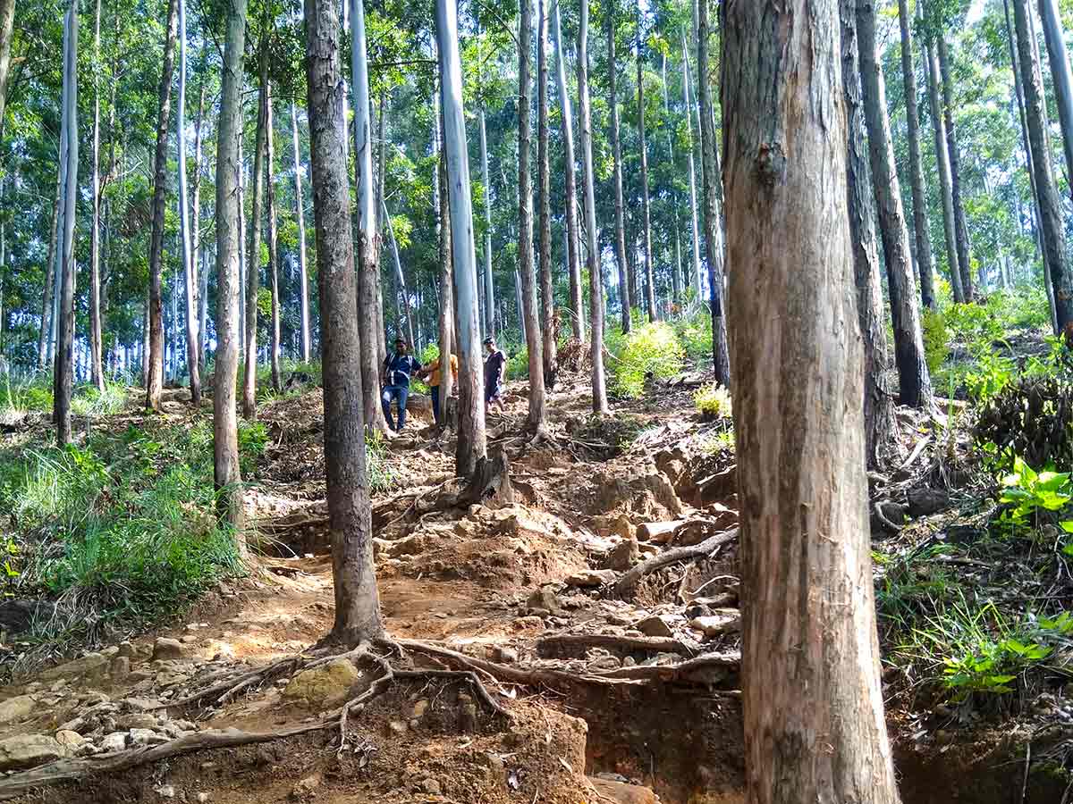
Ella Rock is a climb above Ella whose character changes noticeably along the way. The lower approach crosses inhabited and cultivated land near Kithalella; higher up, the route becomes a steeper forest walk over roots, loose soil, and rock.
The main planning problem is navigation rather than distance alone. Several paths used by residents and estate workers intersect the hiking route, and an incorrect fork can lead away from the summit. Begin at the mapped trailhead and use reliable offline navigation or a knowledgeable local guide on a first visit.
The Urban Development Authority's Ella Development Plan maps Ella Rock View Point as a tourism location and discusses a proposed stargazing campsite on the rock. That is planning evidence, not confirmation that a campsite, telescope equipment, toilets, lighting, or managed overnight access currently exists. Plan only around facilities and permissions that can be confirmed for the visit date.
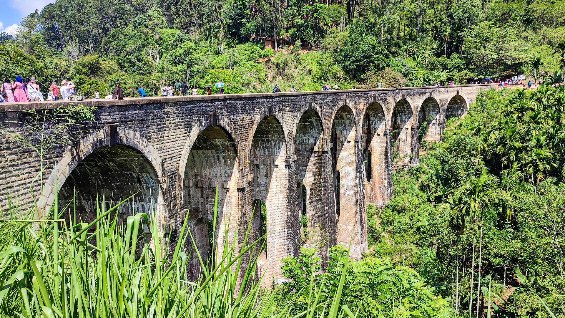
The nearby railway is active infrastructure. It may appear in photographs of the area, but tracks, bridges, and tunnels must not be treated as the walking route. Reach the trailhead by a safe public road or locally confirmed footpath.
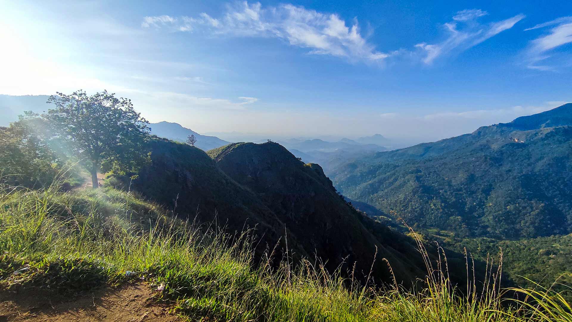
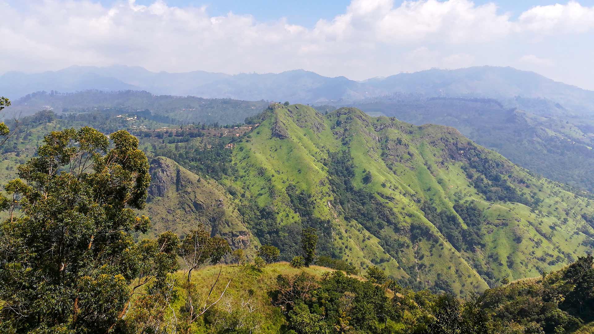
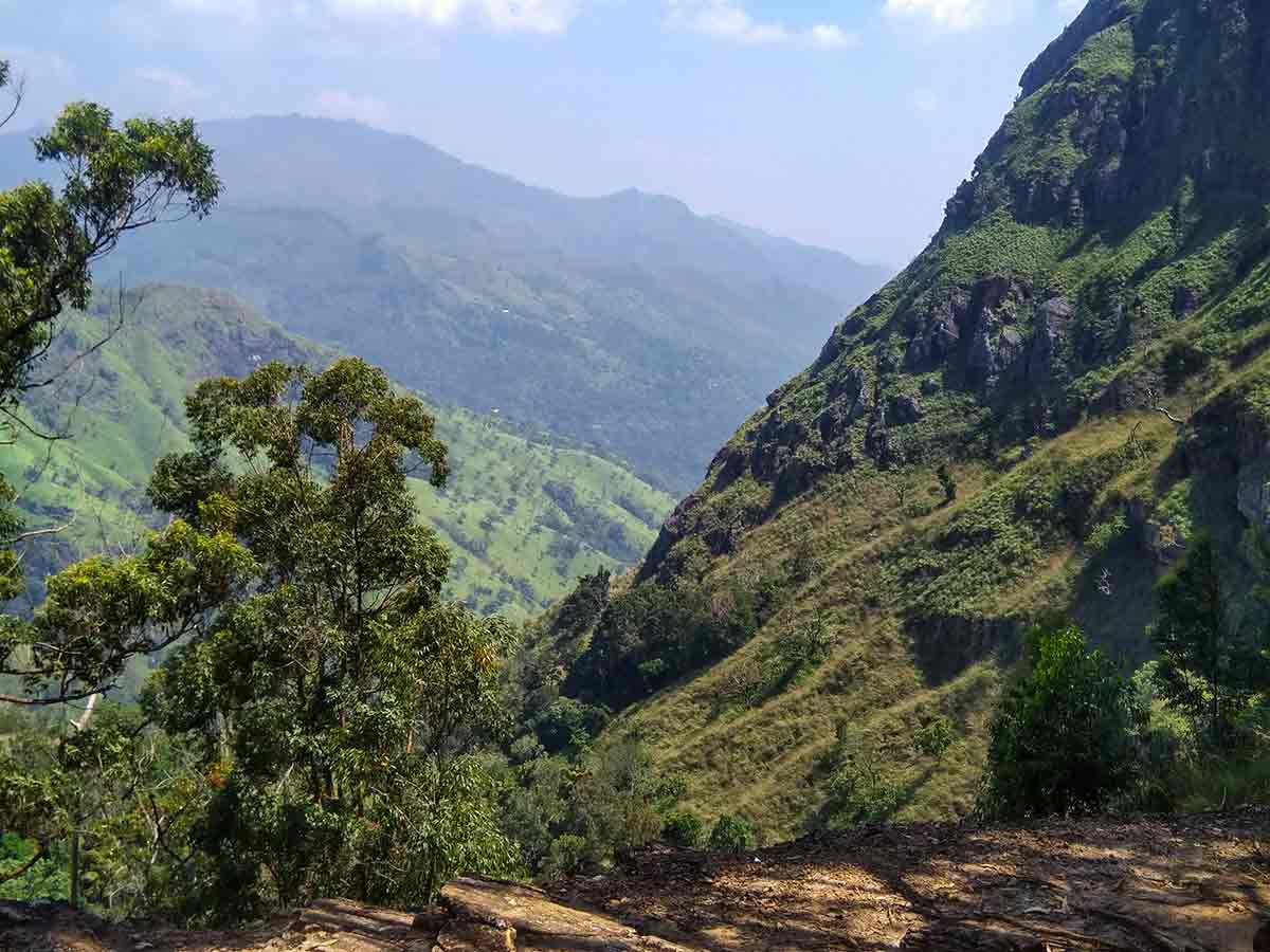
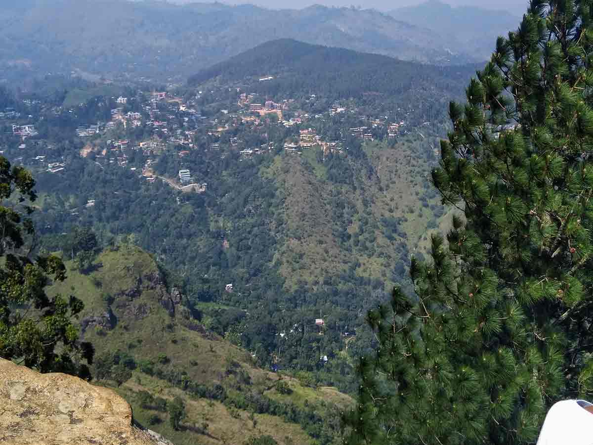
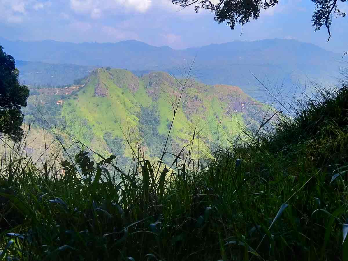
Near the top, the main lookout faces Ella Gap and the surrounding ridges. Another summit-area lookout provides a different angle, so allow time to identify permitted paths instead of following an unmarked shortcut. Cloud and mist can hide either view at any hour; the practical reason to begin early is adequate daylight for the return.
Hike planning
Trail access and navigation
Check the approach, walking conditions, and correct starting point before setting out.
- Walking conditions
- Daylight hours in suitable weather, After confirming current trail conditions
- Fees and permissions
- No reliable official public fee schedule is available. Confirm the current lawful access route and any applicable charge with your accommodation or a knowledgeable local guide before starting.
Location
Ella, Badulla District, Uva Province
Getting to the trail
- From Colombo (~193 km • ~6 h)
Choose a trail approach
Select a marker to open that location in Google Maps.
Trail safety
Review these trail-specific notes before setting out
- Do not walk along active railway tracks, cross railway bridges, or enter tunnels; use a safe public access path to the mapped trailhead.
- Several junctions can be confusing; use the mapped trailhead, reliable offline navigation, or a knowledgeable local guide.
- Trail sections can be slippery after rain.
- Avoid hiking in darkness without proper lighting and navigation tools.
Travel Tips
- Start early morning for sunrise views and cooler temperatures.
- Use the mapped trail-start location and consider a knowledgeable local guide for a first visit because the trail has confusing junctions.
- Wear proper footwear - sections with roots and rocks can be slippery.
- Carry water and snacks as there are no facilities along most of the trail.
- Allow extra time at the summit to explore both viewpoints.
Gallery

Where to go next
Continue planning
These suggestions use reviewed itineraries, routes, and travel groupings. Map closeness alone does not prove direct road or trail access, especially across mountain terrain. Check each guide's Access section before combining stops.