Demodara Nine Arch Bridge
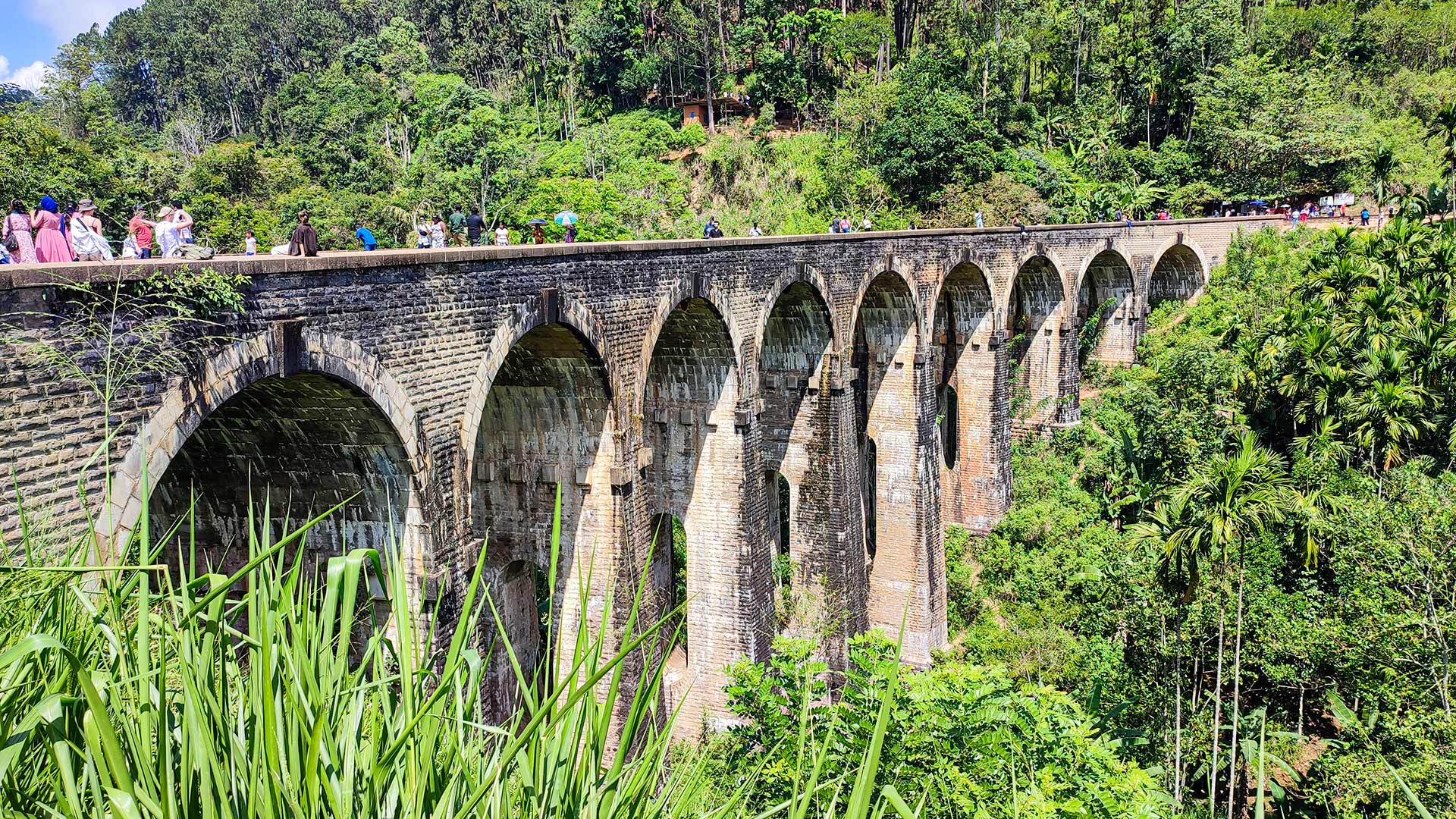
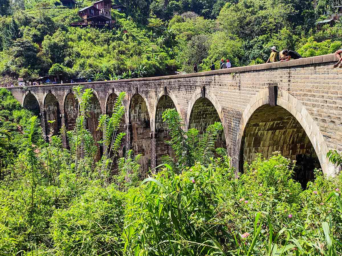
An operational nine-arch railway viaduct at Demodara, viewed from established approaches outside the active track area.
At a glance
Plan your viewpoint visit
Check access effort and visibility conditions first, then review the safest available approach.
Travel distance
Access effort
Best visibility
Access fee
Overview
Demodara Nine Arch Bridge is an operational railway viaduct on Sri Lanka's up-country line near Ella. Sri Lanka Railways identifies it as the nine-arch bridge in Demodara and publishes photographs of trains using the structure. Its repeated masonry arches carry the line across a valley of cultivated slopes and dense vegetation.
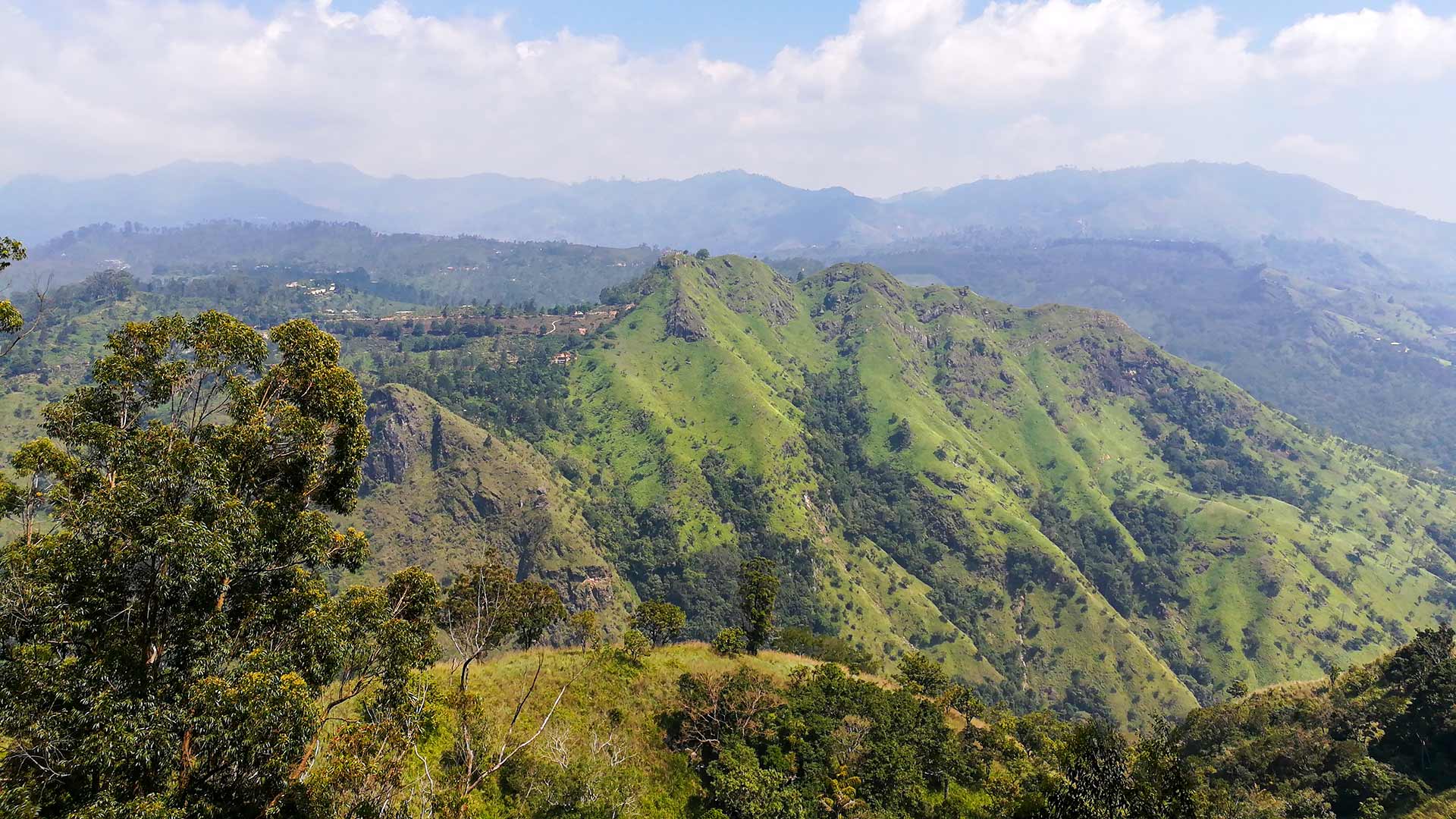
The bridge is best understood as working transport infrastructure within a highland landscape, not as a pedestrian attraction. Established public approaches and viewpoints can provide side, elevated, and valley-level views without using the rails, bridge deck, tunnel, or railway cutting as a walking or photography route.
Many online accounts repeat precise construction dates, measurements, engineering names, and wartime material stories. This guide does not present those details as settled history because a dependable railway or heritage record confirming the complete story was not found during review. The visible nine-arch form and its continuing railway function are the reliable focus.
Train operations can change because of timetables, delays, maintenance, and weather. A published or locally suggested crossing time is therefore useful only for general planning and should never justify waiting on the track. Sri Lanka's Railway Ordinance treats trespass on railway land as an offence and also addresses behaviour that endangers people using the railway.
Use an established viewing area, obey railway signs and staff, and remain outside the operational corridor. Vegetation, mist, rain, crowds, and the selected viewpoint will all affect what a visitor can see on a particular day.
Viewpoint planning
Access and visibility planning
Check visibility, current access conditions, and the appropriate approach before travelling.
- Visibility and conditions
- Daylight in suitable weather, Check current railway and access conditions
- Fees and access
- Free (No dependable official admission notice was found for the public viewing paths. Confirm any local parking, land-access, or visitor charge on arrival.)
Location
Demodara, Ella, Badulla District, Uva Province
Getting to the viewpoint
- From Colombo (~201 km • ~6 h)
Choose an approach
Select a marker to open that location in Google Maps.
Viewpoint safety
Review these access and viewpoint notes before visiting
- Stay outside the operational railway corridor at all times, not only when a train is visible or audible.
- Do not stand or walk on the bridge, track, tunnel, or railway cutting for photographs.
- Paths can be slippery after rain.
- Be cautious near steep edges around viewpoints.
Travel Tips
- Use an established public approach and viewing area; do not use the railway track, bridge deck, tunnel, or cutting as a walking route.
- Treat train times as general planning information only because railway operations can change.
- Wear footwear suited to uneven paths and take extra care after rain.
- Follow current signs, barriers, land-access instructions, and directions from railway staff or responsible local guides.
Gallery
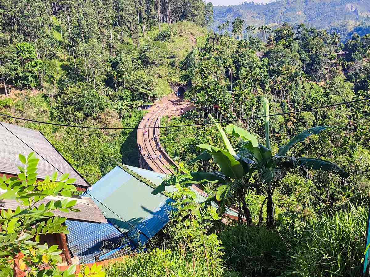
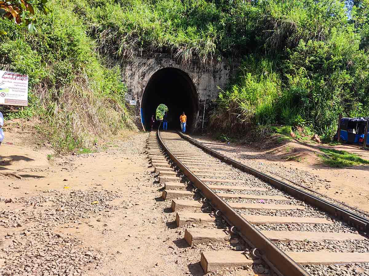
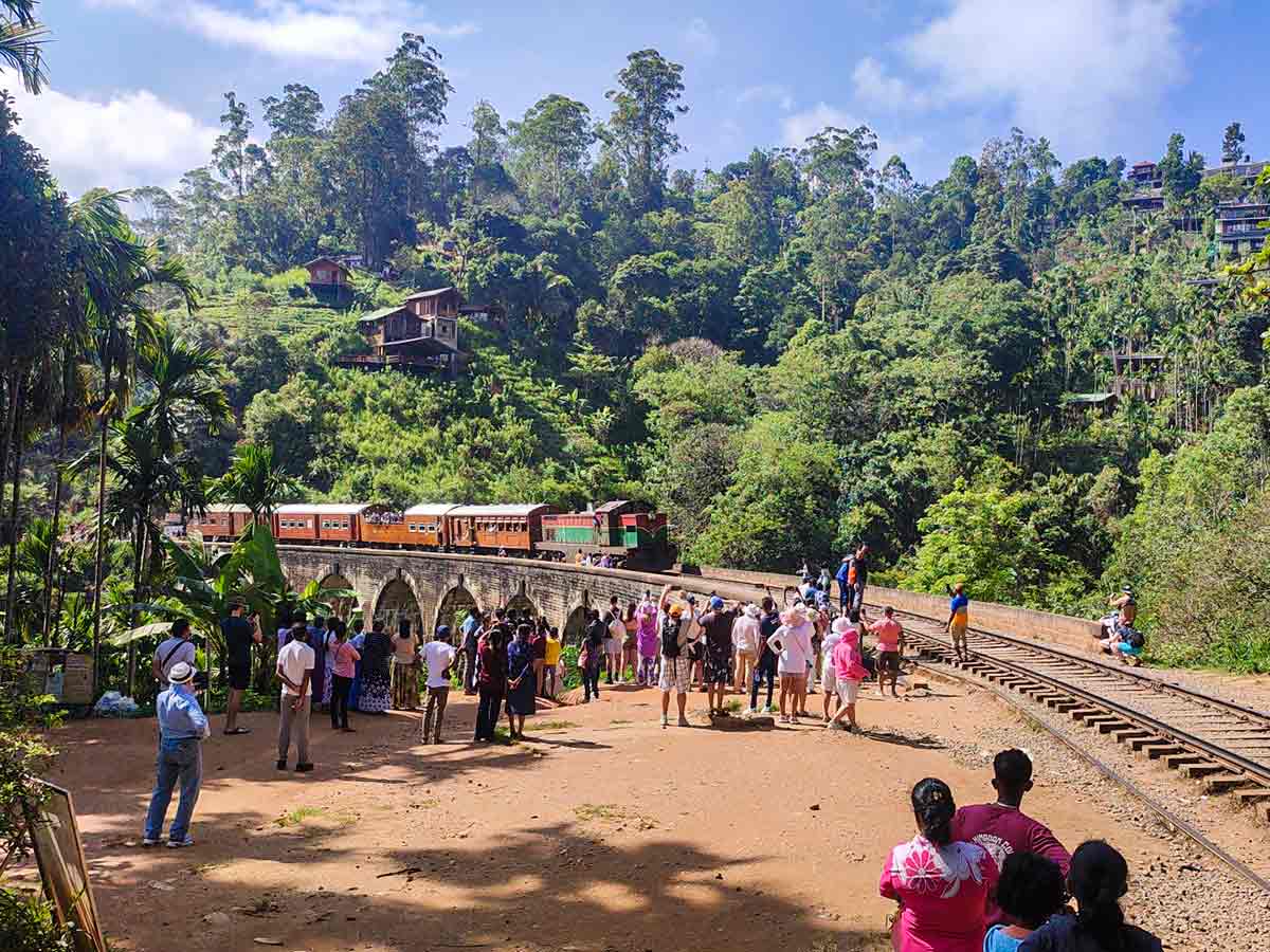
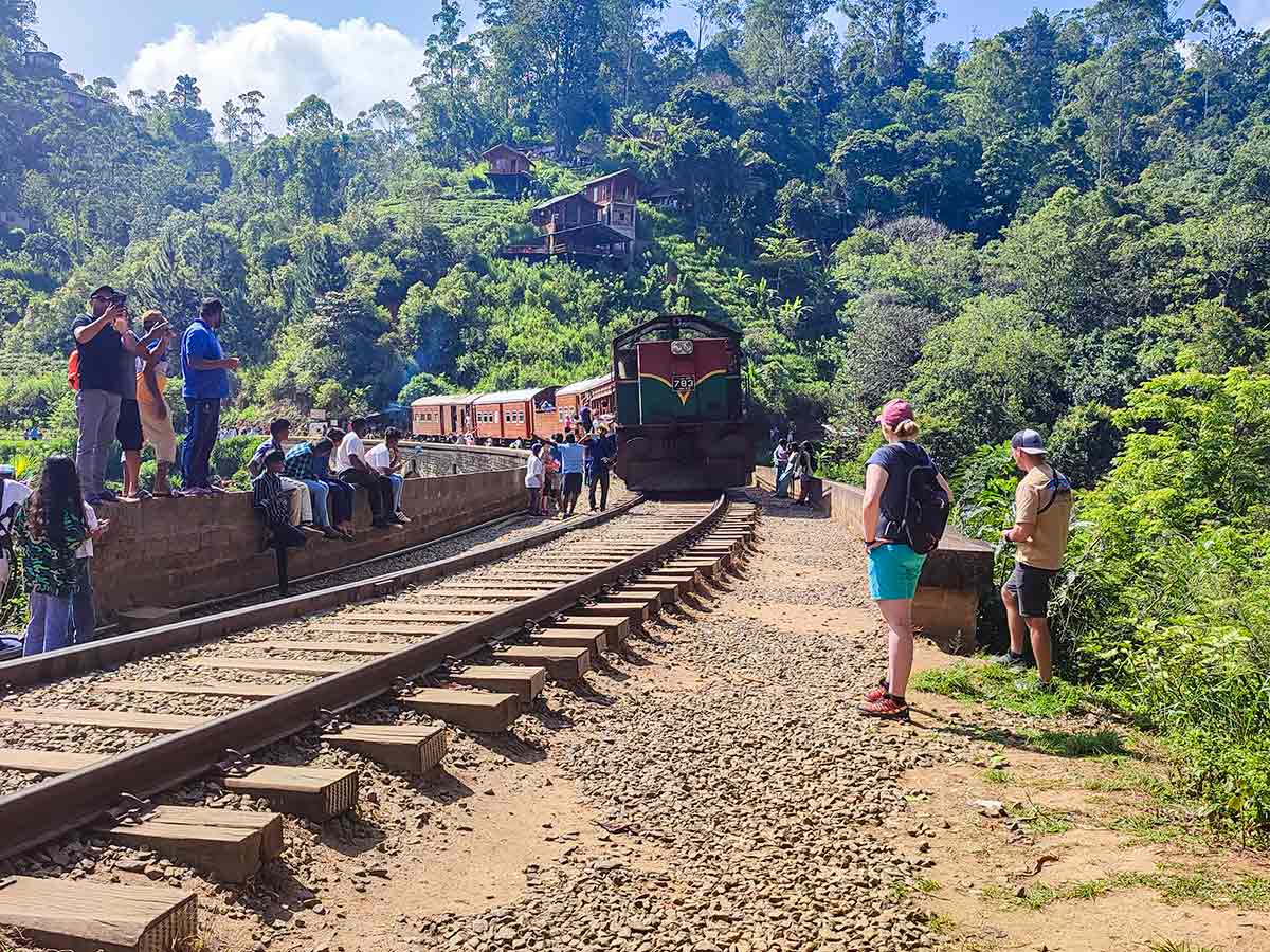
Where to go next
Continue planning
These suggestions use reviewed itineraries, routes, and travel groupings. Map closeness alone does not prove direct road or trail access, especially across mountain terrain. Check each guide's Access section before combining stops.