Little Adam's Peak
A short hill walk near Ella using estate-edge paths and steps, with views toward Ella Gap when weather and visibility allow.
At a glance
Plan your hike
Check the walking effort and best conditions first, then review the trail approach and safety notes.
Travel distance
Walking difficulty
Best hiking conditions
Access fee
Overview
Little Adam's Peak is a short hill walk near Ella. The route begins from the trail start recorded in this guide and passes estate-edge paths, open hillside, and constructed steps before reaching an exposed upper ridge.
The walking surface and effort change along the route. Paved or stepped sections do not remove the effects of heat, rain, uneven ground, ascent, or the return journey. The Easy rating is a broad comparison with the site's longer mountain hikes, not a guarantee that the walk is suitable for every visitor.
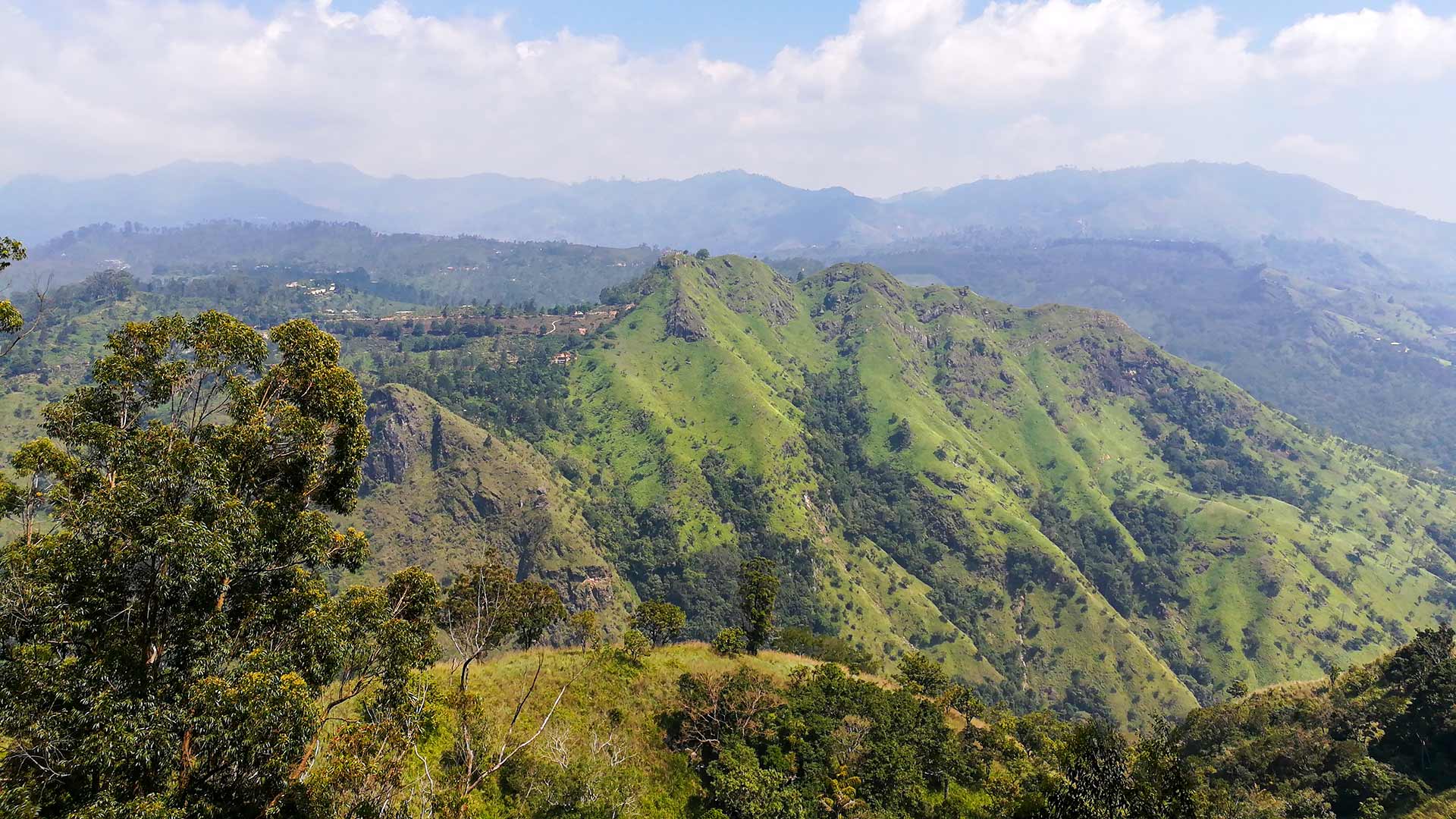
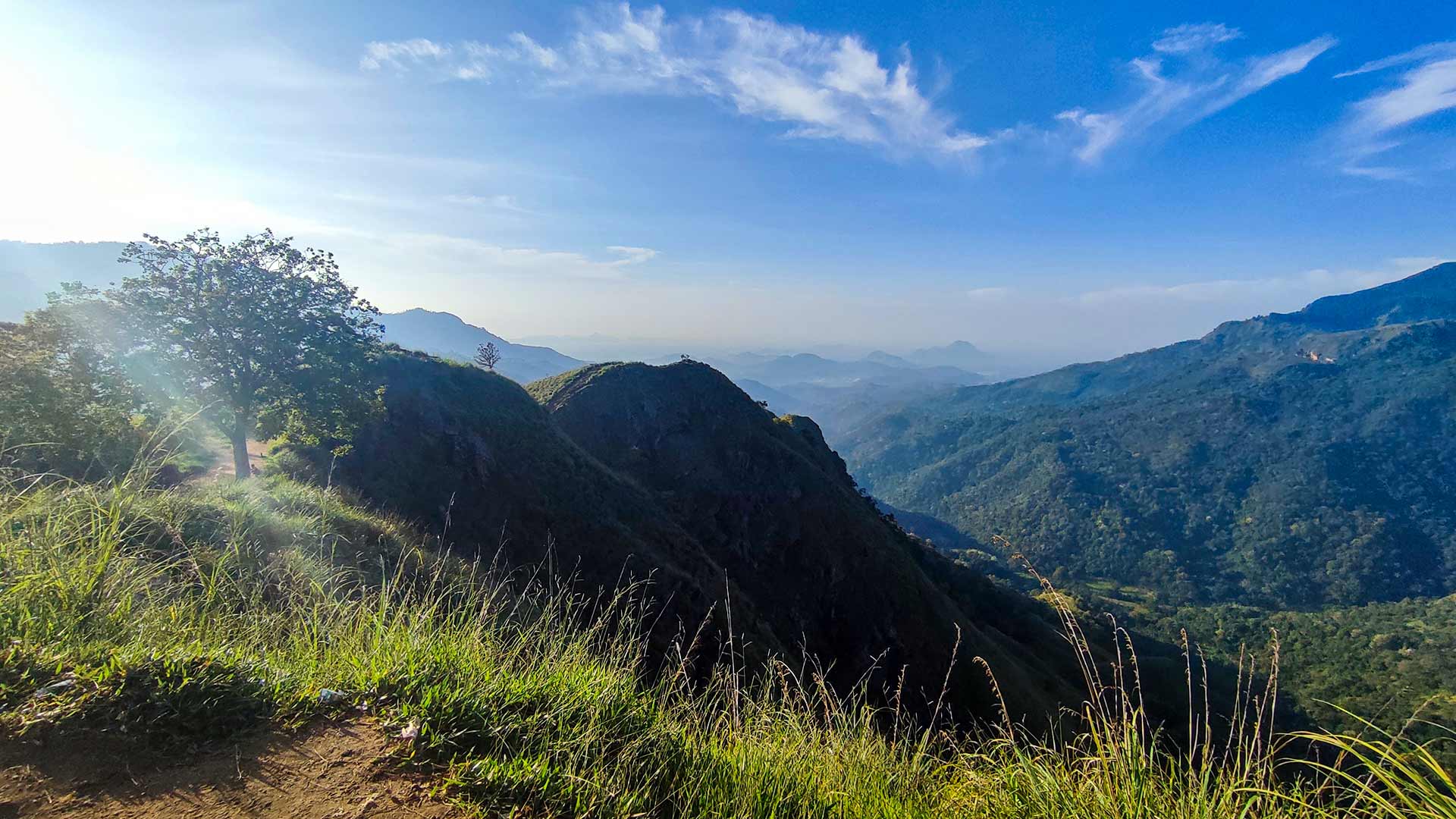
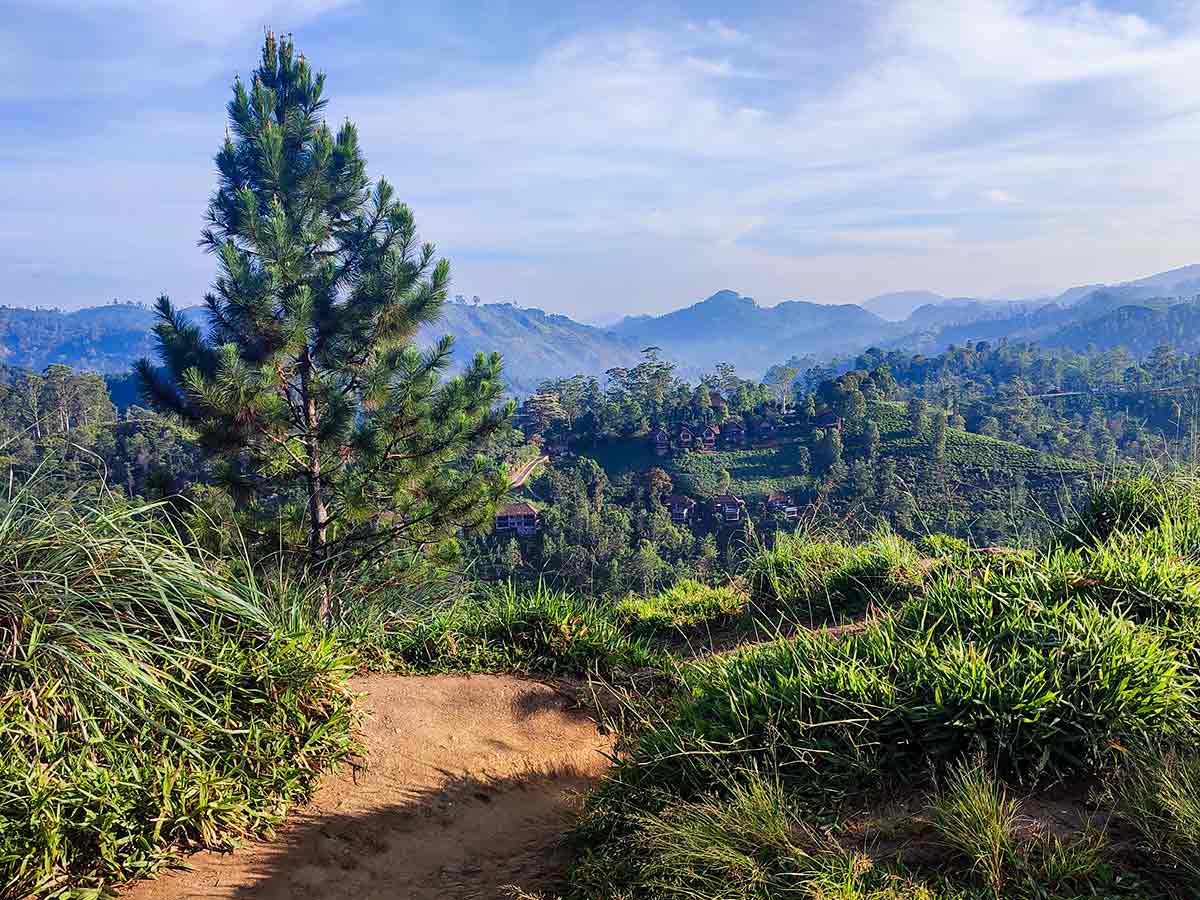
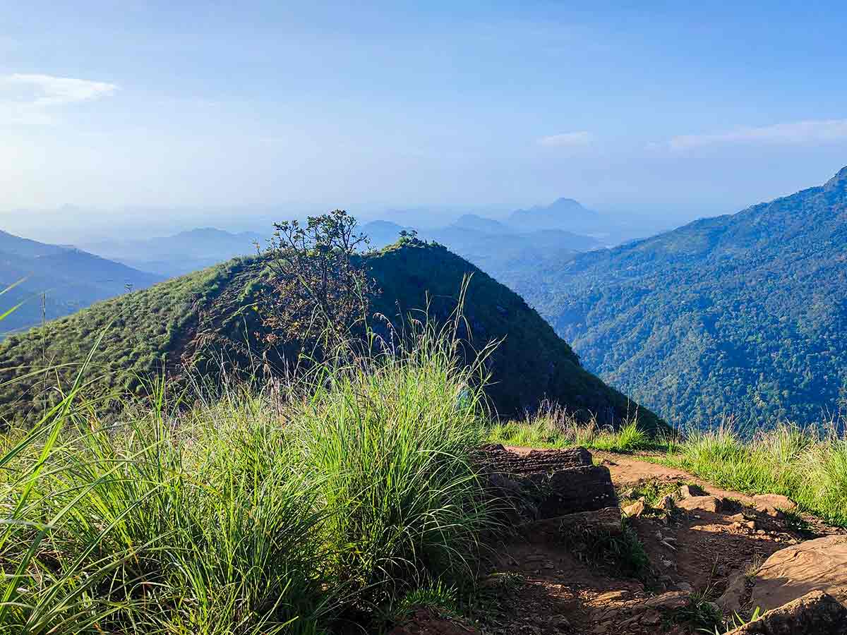
As the path gains height, openings in the terrain can reveal tea-growing slopes, valleys, neighbouring ridges, and Ella Gap. Cloud, haze, rain, and the visitor's position on the ridge determine what is visible. Sunrise, sunset, and clear distant views are possible natural conditions, not promised parts of the visit.
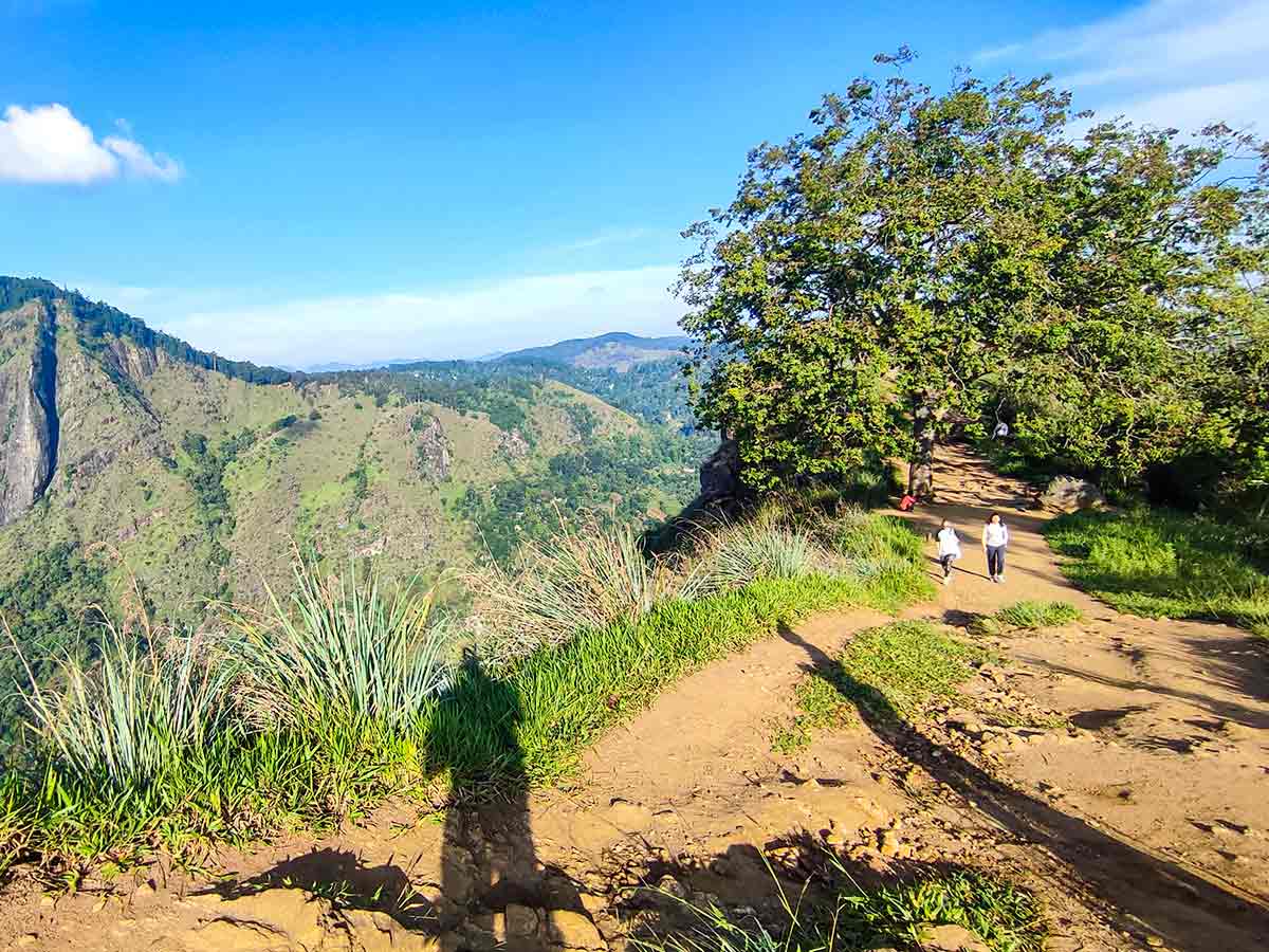
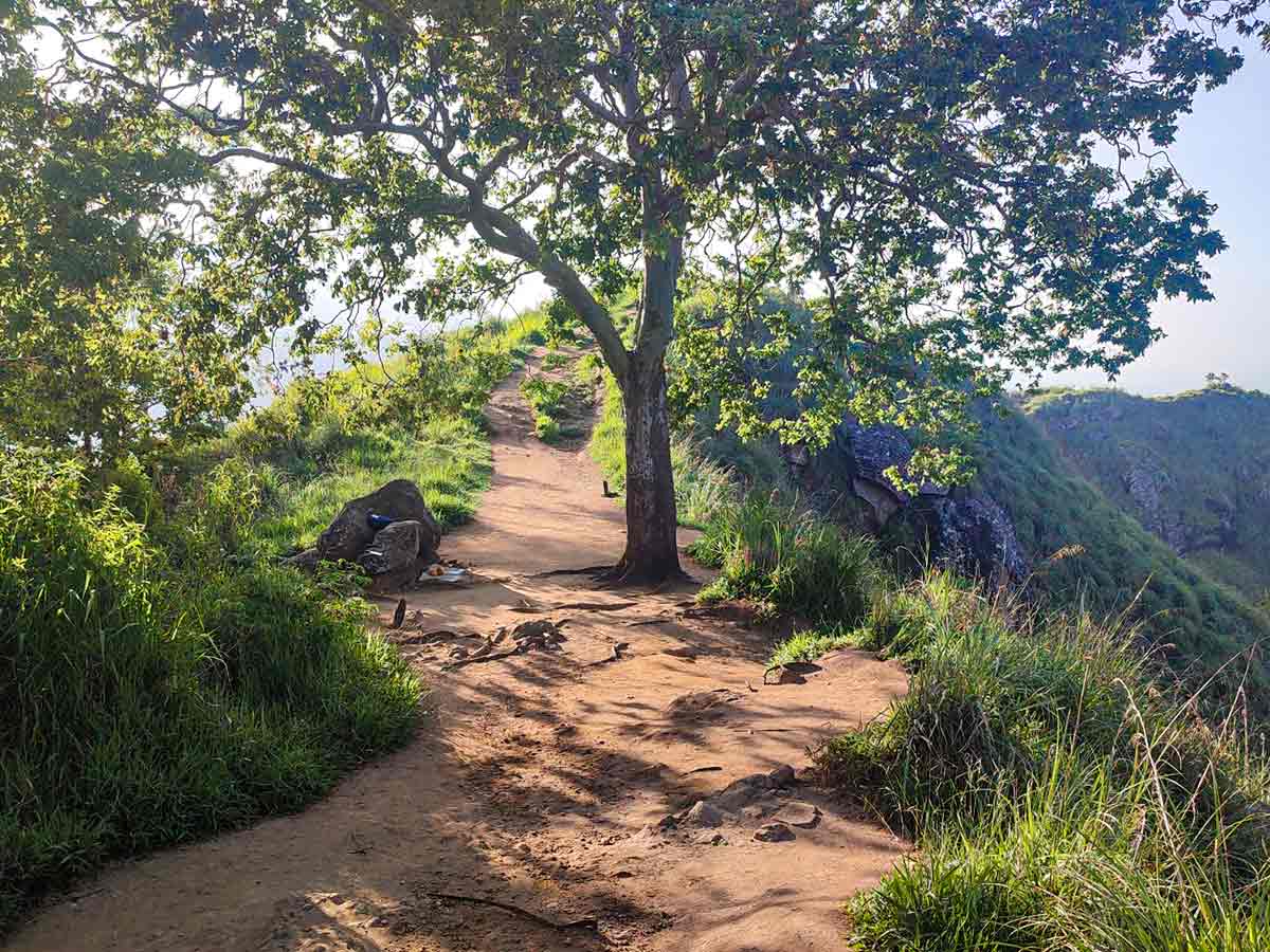
The upper area has exposed viewpoints and ground that can become slippery. Use the established path, keep back from edges, and avoid creating new tracks through planted or vegetated land for photographs. People walking with children or anyone uncomfortable with heights should assess the final ridge and turn around where necessary.
Plan the visit with enough daylight for both ascent and descent. Check the local forecast, carry water, and postpone the walk during thunderstorms, heavy rain, strong wind, or poor visibility. Conditions on the hill should take priority over a fixed online season or photography plan.
The Urban Development Authority's Ella Development Plan includes Little Adam's Peak among the area's mapped visitor attractions. It does not provide a current fee or access notice for the walking route, so on-site instructions still take priority over the planning document.
Hike planning
Trail access and navigation
Check the approach, walking conditions, and correct starting point before setting out.
- Walking conditions
- Suitable-weather daylight hours, Check current hill conditions
- Fees and permissions
- Free
Location
Ella, Badulla District, Uva Province
Getting to the trail
- From Colombo (~200 km • ~6 h)
Choose a trail approach
Select a marker to open that location in Google Maps.
Trail safety
Review these trail-specific notes before setting out
- Be cautious near cliff edges at the summit when taking photos.
- Avoid hiking after dark - the trail is not well-lit.
- Steps can be slippery after rain.
- Supervise children near exposed viewpoints.
Travel Tips
- Allow enough daylight for the ascent and descent without depending on a sunrise or sunset schedule.
- Wear footwear suited to steps and uneven ground because surfaces can become slippery after rain.
- Carry water and sun or rain protection appropriate to the current forecast.
- Use the established path, respect estate-edge land, and keep back from exposed viewpoints.
Gallery
Where to go next
Continue planning
These suggestions use reviewed itineraries, routes, and travel groupings. Map closeness alone does not prove direct road or trail access, especially across mountain terrain. Check each guide's Access section before combining stops.