Ravana Ella Falls
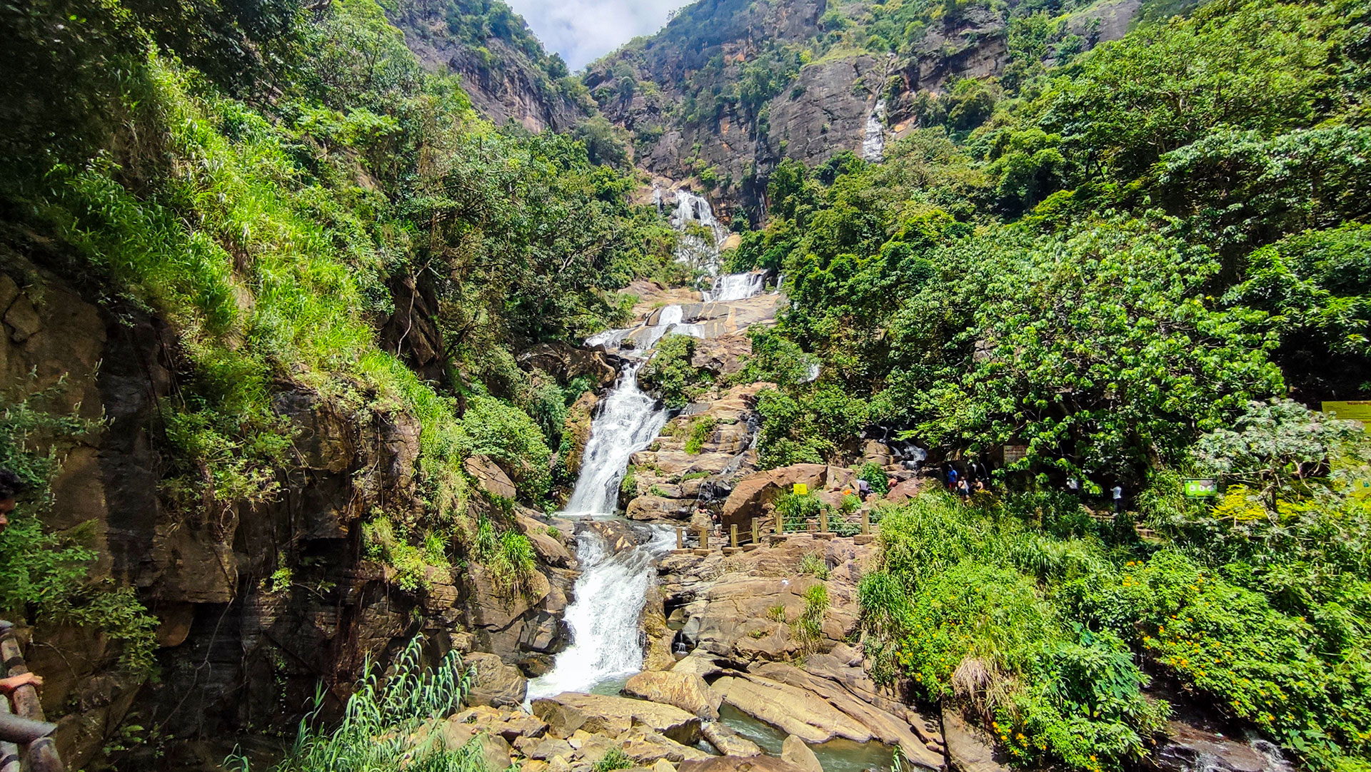
A popular 25 m roadside waterfall in Ella, linked to the Ramayana legend and easily accessible without hiking.
At a glance
Plan your waterfall visit
Check access effort and viewing conditions first, then review the approach and water-safety notes.
Travel distance
Access difficulty
Best viewing conditions
Access fee
Overview
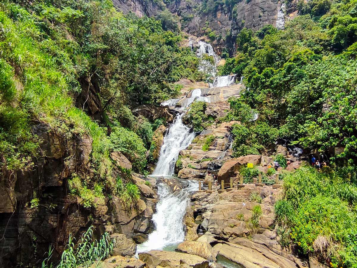
Ravana Ella Falls, also known as Rawana Ella, is a well-known roadside waterfall along the Wellawaya-Ella road in Badulla District. Sri Lanka Tourism places it about 6 kilometres from Ella and describes the cascade as approximately 25 metres high. These figures identify the roadside waterfall covered by this guide rather than every feature locally associated with the Ravana name.
The waterfall is associated with the Ramayana tradition and nearby Ravana Cave. Sri Lanka Tourism's Ramayana material records the belief that Sita bathed in a pool formed by the falling water and that the nearby cave was used by King Ravana. These are religious and cultural traditions rather than verified historical events, so the page presents them respectfully as legend.
Different local descriptions may use Ravana Ella for related waterfall features in the area. This page documents the roadside cascade at the map marker; visitors should not use it as directions to an upper waterfall or cave.
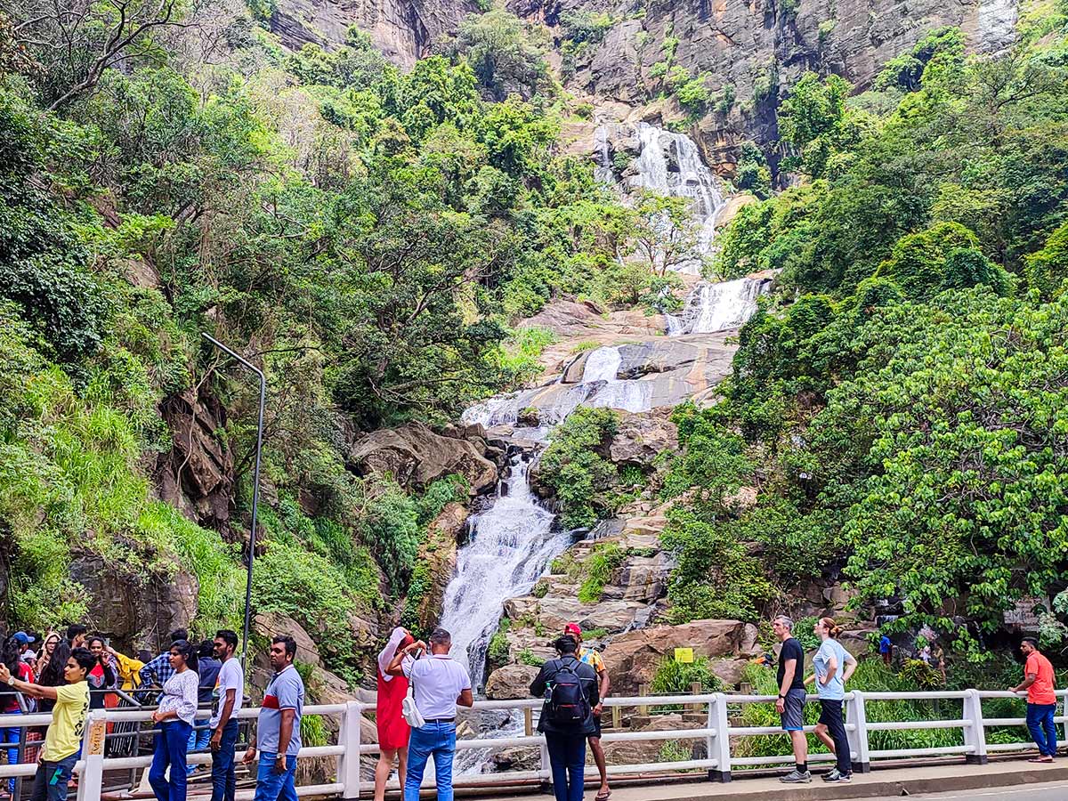
Roadside access distinguishes Ravana Ella from waterfalls that require a forest hike, but easy viewing does not make the water or road environment risk-free. Visitors share a busy mountain road with moving traffic, parked vehicles, vendors, and pedestrians. Use a safe stopping place, cross only when conditions allow, and avoid creating an obstruction while viewing or photographing the falls.
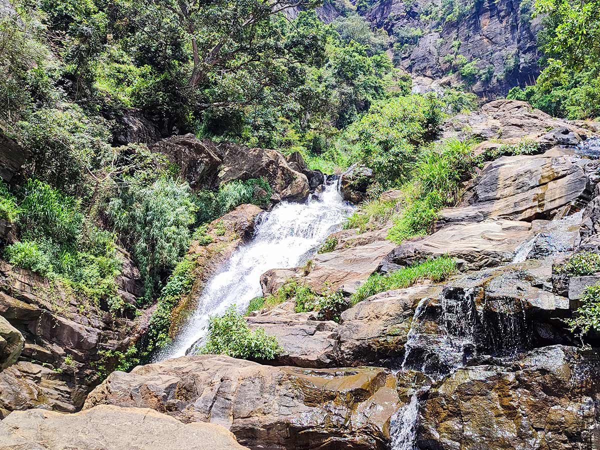
Water volume, spray, rock exposure, and the safe distance from the cascade change with recent rainfall. Higher flow may look dramatic but can also make the base, drainage, roadside edge, and rocks more dangerous. View from a stable public area, follow barriers and current local warnings, and do not enter the water or climb toward the falling water.
Ravana Cave is a separate visit with its own approach and physical demands. Do not assume that a stop at the roadside waterfall includes access to the cave, and verify its current arrangements separately before planning both.
Waterfall planning
Access and viewing conditions
Check the approach, current path conditions, and appropriate starting point before visiting.
- Viewing conditions
- Daylight in suitable weather, Avoid heavy rain and current warnings
- Fees and access
- Free (No dependable current official fee notice was found for the roadside viewing area. Confirm any local parking or visitor charge on arrival.)
Location
Wellawaya-Ella-Kumbalwela Hwy (A23), Ella, Badulla District, Uva Province
Getting to the waterfall
- From Colombo (~201 km • ~5.5 h)
Choose an approach
Select a marker to open that location in Google Maps.
Waterfall safety
Review these water, weather, and access notes before visiting
- The waterfall is beside a busy road - watch traffic carefully.
- Rocks near the base can be slippery.
- Water flow increases rapidly after rain.
- Crowds can be heavy during weekends and holidays.
Travel Tips
- Use a safe stopping place and watch traffic carefully when moving between the roadside and an established viewing area.
- Treat stronger flow after rain as increased risk, not as a reason to approach the base or wet rocks.
- Follow barriers, signs, police instructions, and current local warnings when the roadside area is busy.
- Plan Ravana Cave separately and confirm its current access rather than treating it as part of the roadside waterfall stop.
- Do not swim, climb wet rocks, or approach the falling water; conditions can change quickly after rain, and roadside crowds create additional risk.
Gallery
Practical videos
Travel guides from the road
Where to go next
Continue planning
These suggestions use reviewed itineraries, routes, and travel groupings. Map closeness alone does not prove direct road or trail access, especially across mountain terrain. Check each guide's Access section before combining stops.