Hanthana Mountain Range Trail
A scenic moderate hike near Kandy offering panoramic views over the city and surrounding countryside.
At a glance
Plan your hike
Check the walking effort and best conditions first, then review the trail approach and safety notes.
Travel distance
Walking difficulty
Best hiking conditions
Access fee
Overview
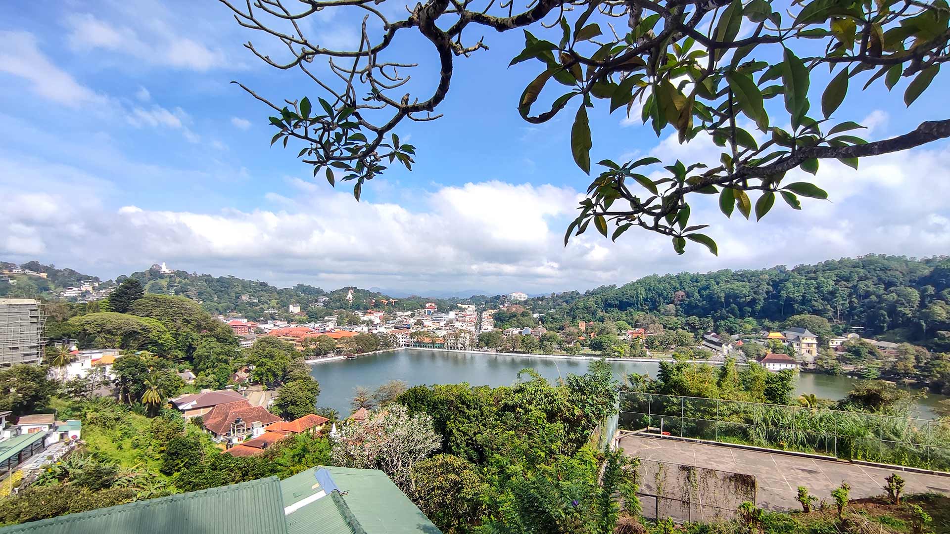
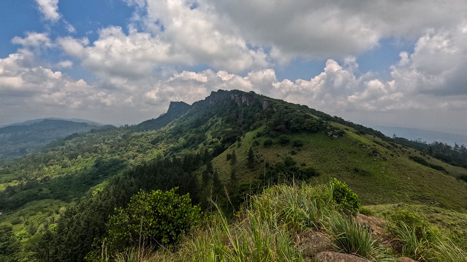
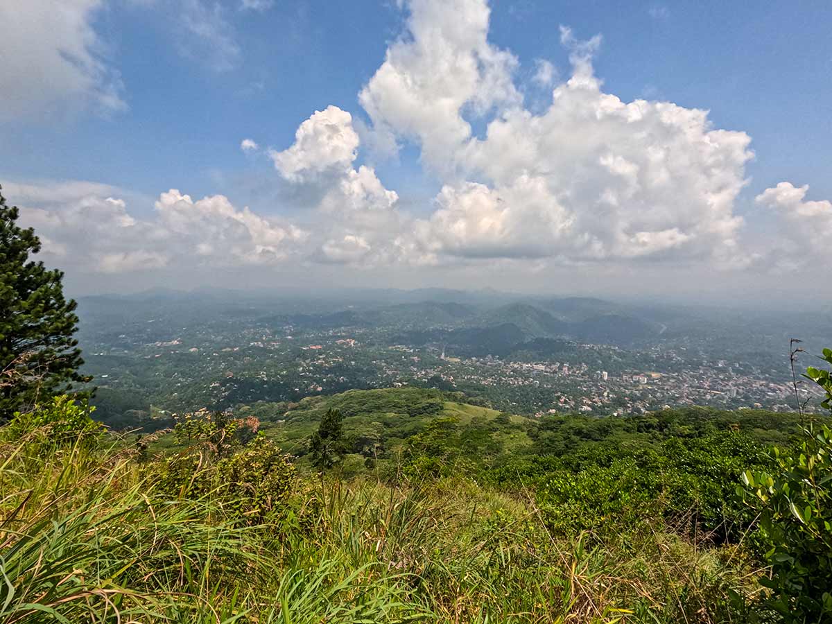
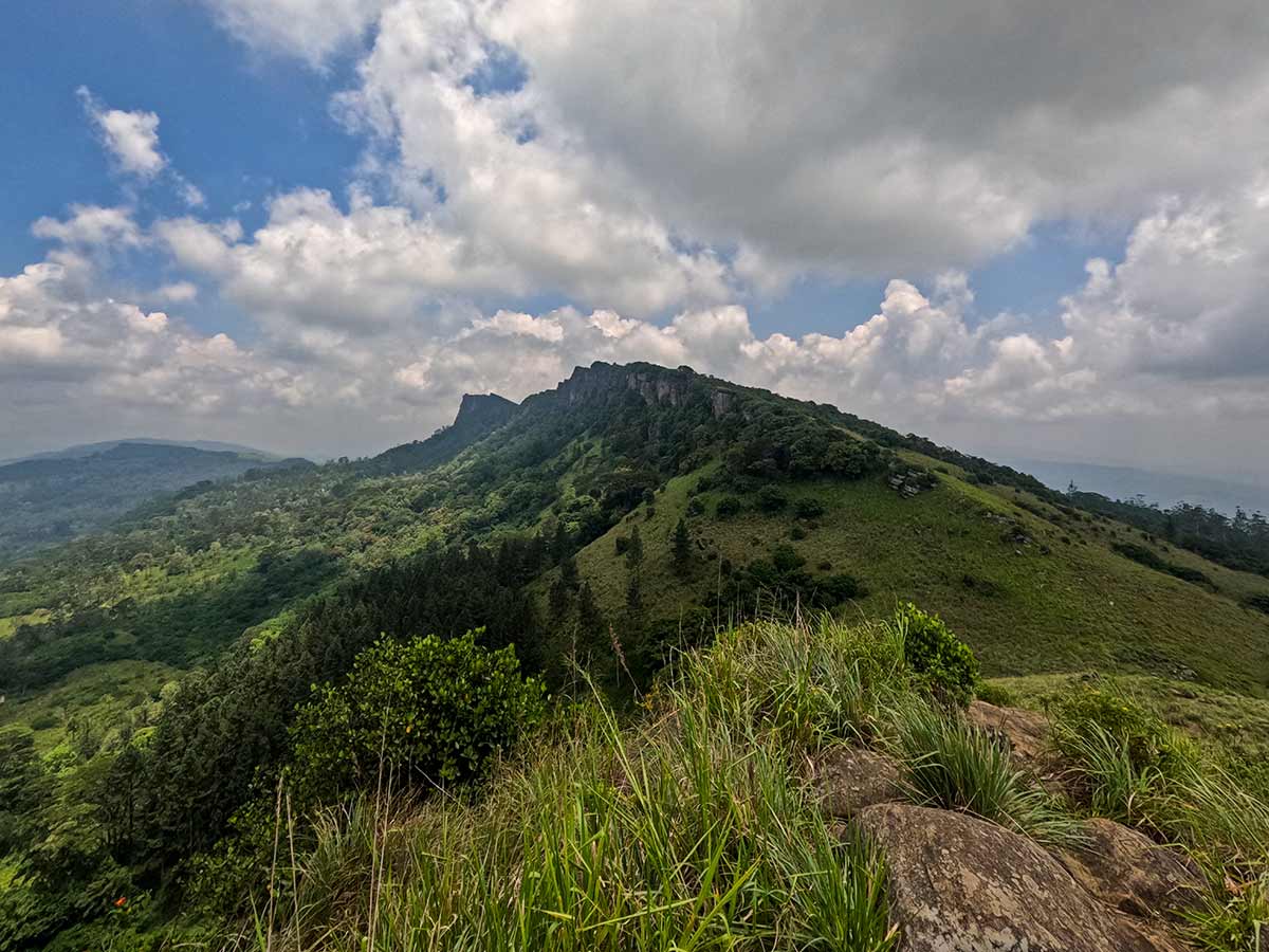
The Hanthana Mountain Range Trail is a moderate hike located just outside Kandy along Hanthana Hiking Road. The trail offers panoramic views over Kandy city and the surrounding countryside.
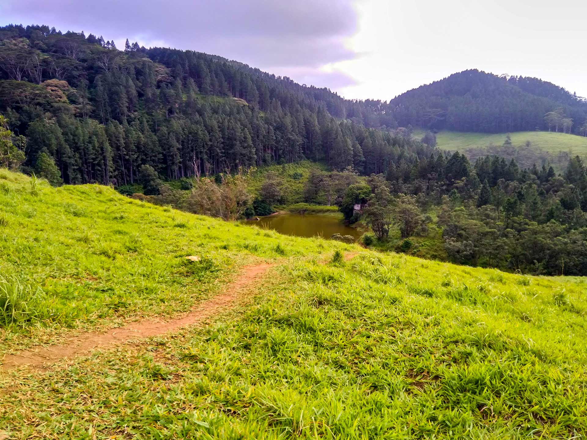
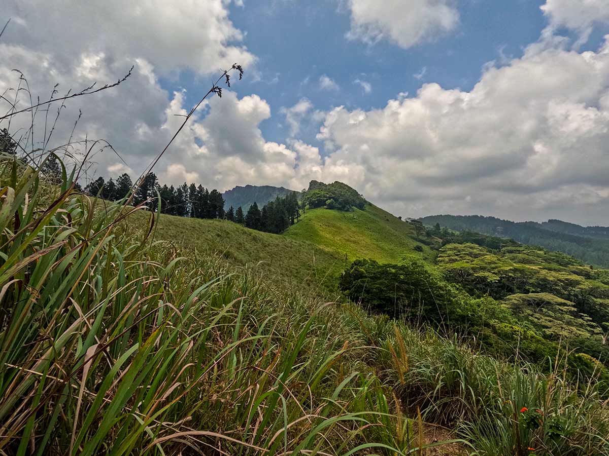
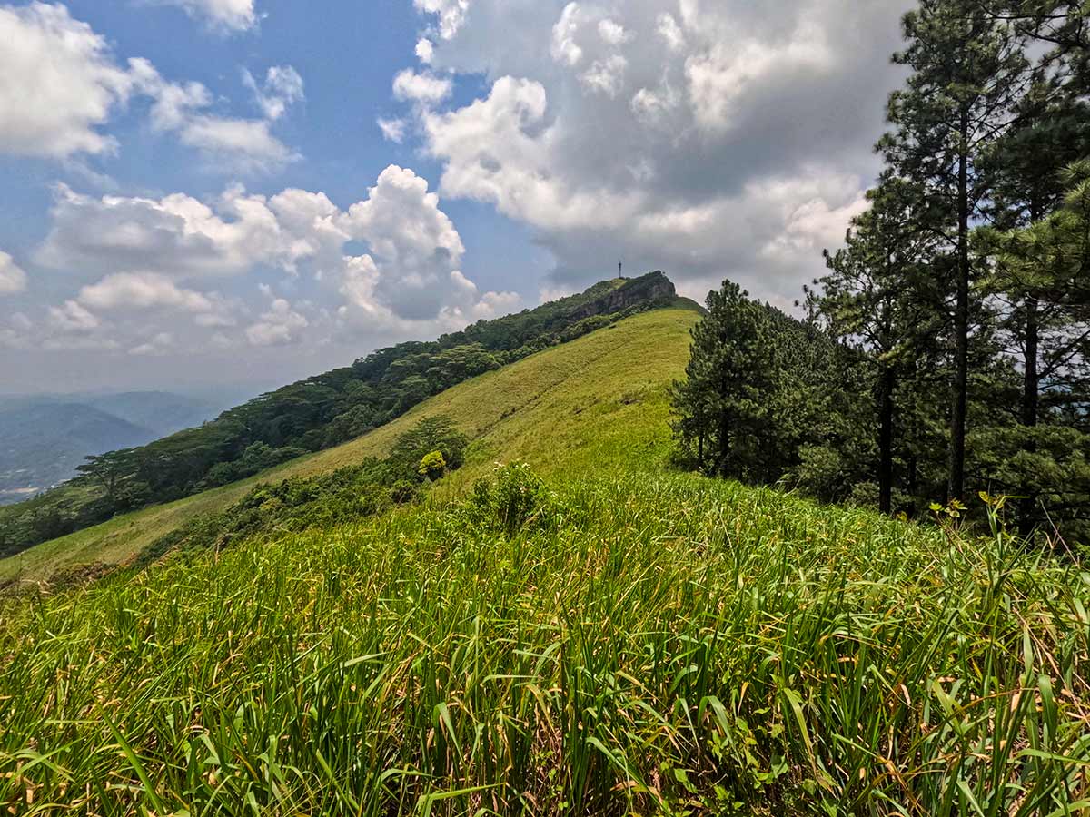
The Central Province Tourism Department describes Hanthana's upper boundary as pathana grassland broken by natural-forest patches and identifies the range as a watershed for several streams. That ecological setting is a reason to remain on an established route rather than widening shortcuts through grassland or forest.
There are two main route options.
The longer route (7 km) begins in the Sarasavigama area and passes through tea plantations, forest sections, streams, and dense vegetation before reaching the viewpoint. This route gains approximately 450 metres in elevation and reaches a peak height of around 1,100 metres. A guide is recommended as sections of the trail are not clearly marked.
The shorter route (~4 km round trip) starts near the Ceylon Tea Museum and follows Hanthana Hiking Road. This route is more direct and can be completed without a guide, though the final section to the viewpoint requires attention as the trail is not always obvious.
The hike typically takes 2 hours via the shorter route or around 3.5 hours for the longer trail.
The best time to hike is during the dry season from December to March. Early morning starts are recommended to avoid heat and humidity.
Hike planning
Trail access and navigation
Check the approach, walking conditions, and correct starting point before setting out.
- Walking conditions
- Suitable-weather daylight hours, Use a defined route and confirm current access
- Fees and permissions
- Routes use different access points. Confirm current access permission and any applicable charge with the relevant land manager or a knowledgeable local guide before starting.
Location
Hanthana, Kandy District, Central Province
Getting to the trail
- From Colombo (~119 km • ~4 h)
Choose a trail approach
Select a marker to open that location in Google Maps.
Trail safety
Review these trail-specific notes before setting out
- Some sections of the long route are not clearly marked.
- Trail can be slippery during rainy periods.
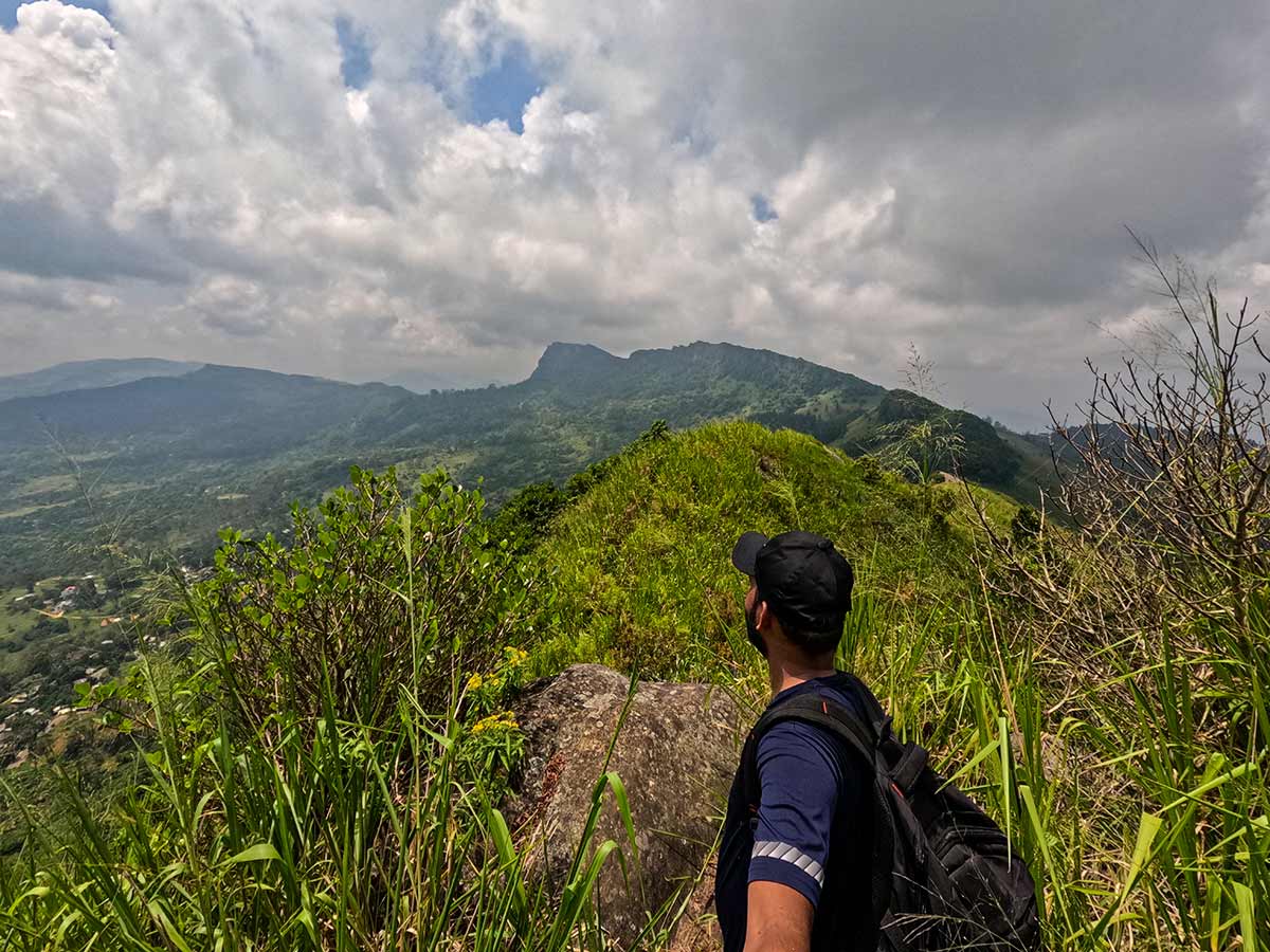
- Watch footing near steep ridge sections.
- Avoid hiking alone on the long route without guidance.
Travel Tips
- Start early morning to avoid heat.
- Wear lightweight clothing and comfortable shoes.
- Leech protection is recommended during wet months.
- Carry sufficient drinking water.
Gallery
Practical videos
Travel guides from the road
Where to go next
Continue planning
These suggestions use reviewed itineraries, routes, and travel groupings. Map closeness alone does not prove direct road or trail access, especially across mountain terrain. Check each guide's Access section before combining stops.