

Uva Province travel guide
Ella Travel Guide
A practical guide to using Ella as a base for separate hikes, viewpoints, railway heritage, and waterfall visits without forcing them into an unrealistic route.
Last reviewed
Planning summary
What this guide helps you plan
Use the sections in order for the complete planning context, or move directly to a topic from the contents bar. Open the linked destination guides for access, safety, and visit-specific details.
- Planning topics
- 9
- Linked place guides
- 4
- Editorial scope
- Uva Province
What Ella Works Best For
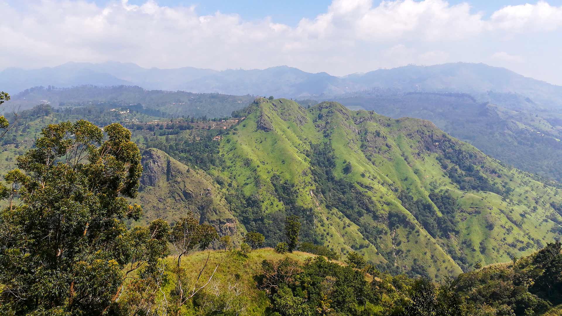
Ella is a highland town in Uva Province surrounded by tea estates and mountain scenery. Ella station is on Sri Lanka Railways' Main Line, which continues toward Badulla, and the town works well as a base for separately planned hikes, viewpoints, railway heritage, and a practical local waterfall stop. It is not necessary to turn every attraction associated with the wider hill country into one Ella itinerary. Select the experiences that fit your ability, weather, available daylight, and confirmed transport.
Build the Visit Around Two Local Routes
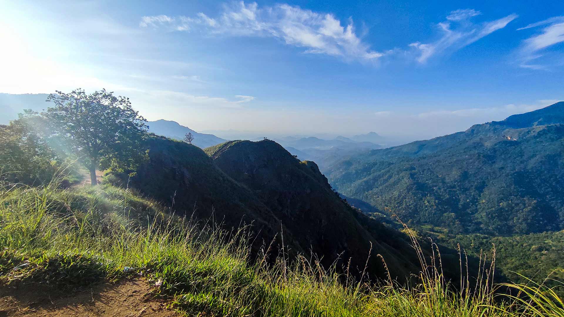
A practical minimum plan separates Ella Rock from the Little Adam's Peak, Nine Arch Bridge, and Ravana Ella route. Ella Rock should be treated as the main activity for its day, leaving enough flexibility for navigation, weather, food, and recovery. On another day, Little Adam's Peak can be visited before continuing to Nine Arch Bridge on foot or by three-wheeler, followed by a three-wheeler journey to Ravana Ella. This order has been reviewed with local input and avoids an unnecessary cross-mountain transfer.
Ella Rock and Little Adam's Peak
Ella Rock is the more substantial local hiking day and has junctions that can be confusing, so use the mapped trail-start information and consider a knowledgeable local guide for a first visit. Little Adam's Peak is the shorter local option and can fit naturally with Nine Arch Bridge. These are separate routes with different demands; do not judge the longer hike by the easier path.
Place guides for this section

Getting There
Ella is served by Sri Lanka's hill-country railway and by road and bus connections through the central highlands. Use the official Sri Lanka Railways timetable and reservation services to check the operating train, stations, available classes, current fare, and journey time for your date. For bus or road travel, confirm the current route, transfers, conditions, and realistic duration with official transport information, the relevant station, your accommodation, or a knowledgeable Sri Lankan local guide.
Nine Arch Bridge Without Unsafe Railway Walking
Nine Arch Bridge is part of an active railway. Reach an established viewpoint by a safe public access path and follow railway signs and staff instructions. Do not use the tracks, bridge, railway cutting, or tunnel as a walking or photography route. Scheduled train information can help with general planning, but an exact bridge-crossing time should not be guaranteed because railway operations can change.

Ravana Ella and the Wider Waterfall Area
Ravana Ella is the practical local waterfall stop from Ella and lies beside the Ella-Wellawaya road. Use a three-wheeler or other appropriate road transport rather than treating it as part of a railway walk. Diyavini Ella and Bomburu Ella require separate access planning and should not be described as nearby stops on a simple Ella circuit. At every waterfall, check current rain, flow, barriers, and local instructions; this guide does not recommend entering the water based only on appearance.

Places That Need a Separate Trip
Horton Plains, Kirigalpoththa, Adam's Peak, and more distant waterfalls use different access corridors and should not be presented as ordinary local Ella activities. Each requires its own transport, access, weather, and return plan. Keeping these separate makes the Ella visit more realistic and reduces the risk of relying on misleading straight-line map distances across the highlands.
Accommodation, Local Transport, and Supplies
Confirm accommodation before arrival during busy travel periods and choose the location according to the activities you intend to start early. Three-wheelers are useful between accommodation, established trailheads, viewpoints, and Ravana Ella; agree the complete route, total fare, waiting time, and return arrangement before departure. Ask your accommodation about breakfast, packed food, drinking water, and return transport for hiking days rather than assuming supplies or a vehicle will be available at every trailhead.
Weather and Daily Decisions
Ella's mountain weather can include rain, mist, wind, strong sun, and slippery paths within the same broad season. Check the current forecast and recent trail condition, begin with enough daylight, and keep a flexible alternative for exposed or muddy routes. Carry suitable footwear, drinking water, sun and rain protection, and a light layer, but turn back when visibility, footing, illness, exhaustion, or responsible local advice makes continuing unsuitable.