

Kandy and Matale Districts travel guide
Knuckles Range Travel Guide
Plan a Knuckles visit by choosing one documented route, access corridor, responsible authority, guide, transport, and return arrangement before travelling.
Last reviewed
Planning summary
What this guide helps you plan
Use the sections in order for the complete planning context, or move directly to a topic from the contents bar. Open the linked destination guides for access, safety, and visit-specific details.
- Planning topics
- 8
- Linked place guides
- 1
- Editorial scope
- Kandy and Matale Districts
Understand What the Protected Area Includes
The Knuckles Conservation Forest is one of the three components of UNESCO's Central Highlands of Sri Lanka World Heritage property. UNESCO records the component at 31,305 hectares, with a separate 35,074-hectare buffer zone. The Ministry of Environment also identifies an environmental protection area covering private lands within the forest-reserve setting. These designations help explain why visitors must distinguish the protected forest, its surrounding communities, and the wider mountain range instead of treating all places labelled 'Knuckles' as one unrestricted recreation area.
Choose the Exact Route Before Choosing a Base
Knuckles contains several communities, visitor areas, trailheads, and road approaches across the Kandy and Matale sides. Riverston, Pitawala, Deanston, Bambarella, and other names associated with the range are not interchangeable entrances to one connected visitor circuit. First identify the exact destination and authorized route; only then choose accommodation, the approach road, suitable vehicle, guide, start point, and return plan.
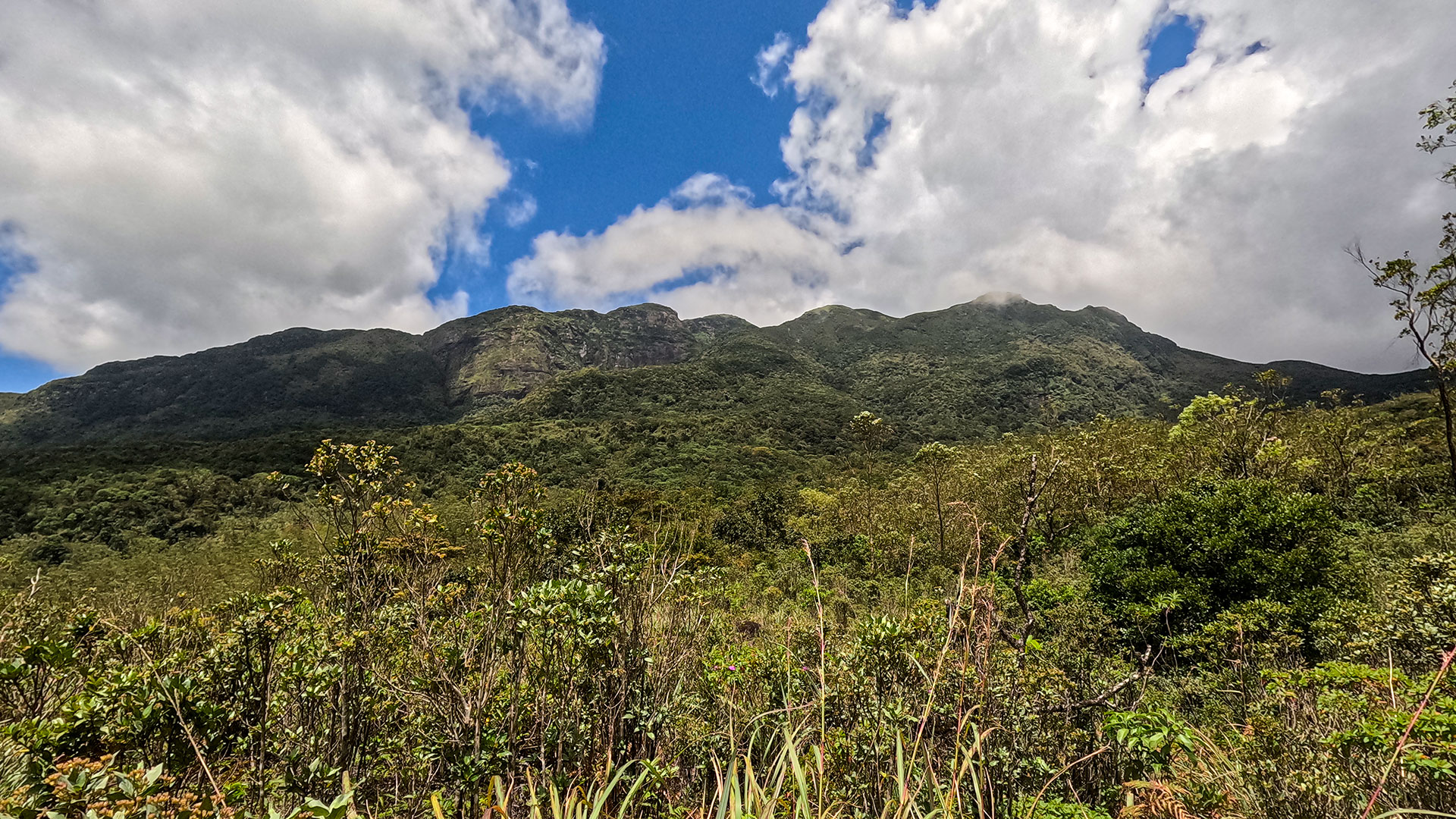
The Documented Bambarella 05 Peaks Route
Ceylon Folk currently documents the Knuckles 05 Peaks route from Bambarella as one distinct hike. Use its mapped trail-start and route-specific information rather than borrowing directions, times, or access advice from Riverston, Deanston, Meemure, or another part of the range. The absence of another route from this guide does not mean it is closed; it means Ceylon Folk has not yet published enough reliable route-level information to recommend it here.
Place guides for this section
Confirm Permission, Entry, and Guide Requirements
The Department of Forest Conservation manages conservation forests under Sri Lanka's Forest Conservation Ordinance. Do not assume that a ticket, permit, guide, or activity allowed at one Knuckles entrance applies everywhere else. Before travelling, give the Department or responsible entry office the precise route and date and ask about current authorization, fees, guide rules, closures, group limits, and prohibited activities. Use a knowledgeable local guide for remote, forested, or poorly marked routes even when online descriptions make navigation appear simple.
Match the Vehicle to the Selected Access Road
Road surface, width, gradient, water crossings, and turnaround space can differ substantially between access corridors and can change after rain or repairs. Confirm the present road condition and suitable vehicle with the responsible entry office, accommodation, and a knowledgeable local guide shortly before departure. A route that begins with an ordinary road journey can still require a different vehicle or walking approach farther inside; do not rely only on a map application's suggested road.
Arrange Accommodation and Return Transport
Accommodation and public transport are not evenly distributed around the range. Confirm the base, check-in arrangement, meals or packed food, guide meeting point, vehicle waiting time, and return journey before starting. Do not assume that a guesthouse, driver, or mobile connection will be available at the end of a remote route. Leave the complete plan and expected return with the accommodation or another responsible contact.
Weather Determines the Day, Not the Season Label
Rain, mist, wind, heat, slippery ground, stream levels, and reduced visibility can affect both exposed ridges and forest sections. Check the Department of Meteorology forecast and Disaster Management Centre warnings close to departure, then ask about recent local conditions. Begin with enough daylight for the selected route and turn back when an authority, guide, weather, footing, visibility, illness, or exhaustion makes continuing unsuitable.
Protect a World Heritage Forest
UNESCO recognizes the Central Highlands for globally important montane forests, threatened species, and exceptional endemism. Remain on authorized routes, carry out all waste, keep noise low, and never remove plants, collect animals, feed wildlife, light fires, or enter a campsite or overnight area without current authorization. Follow Forest Department and guide instructions intended to protect water sources, forest habitats, surrounding communities, and future access.