Bambarakanda Waterfall
A tall, narrow highland waterfall near Kalupahana in Badulla District, with forest paths connecting the wider waterfall area.
At a glance
Plan your waterfall visit
Check access effort and viewing conditions first, then review the approach and water-safety notes.
Travel distance
Access difficulty
Best viewing conditions
Access fee
Overview
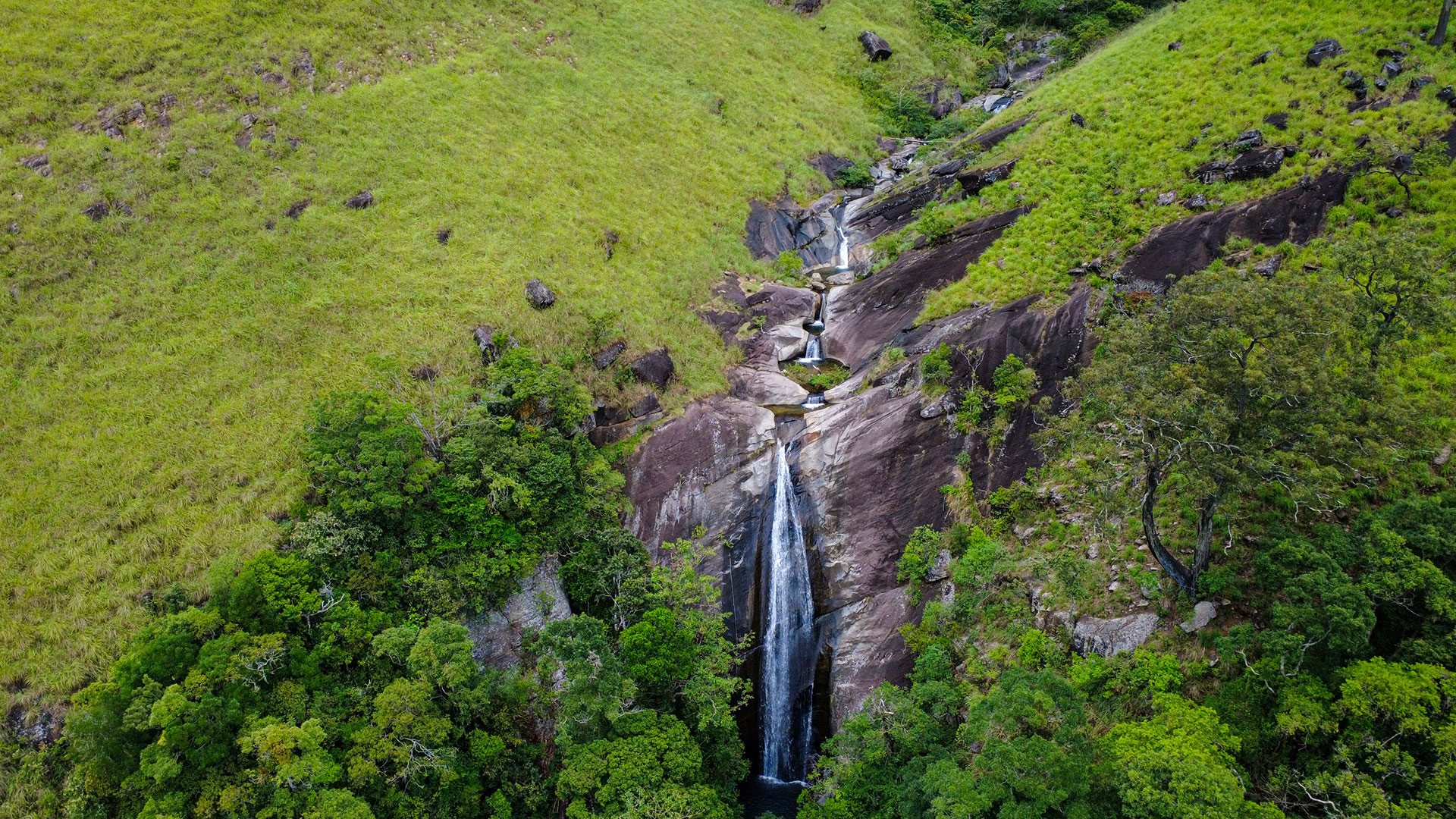
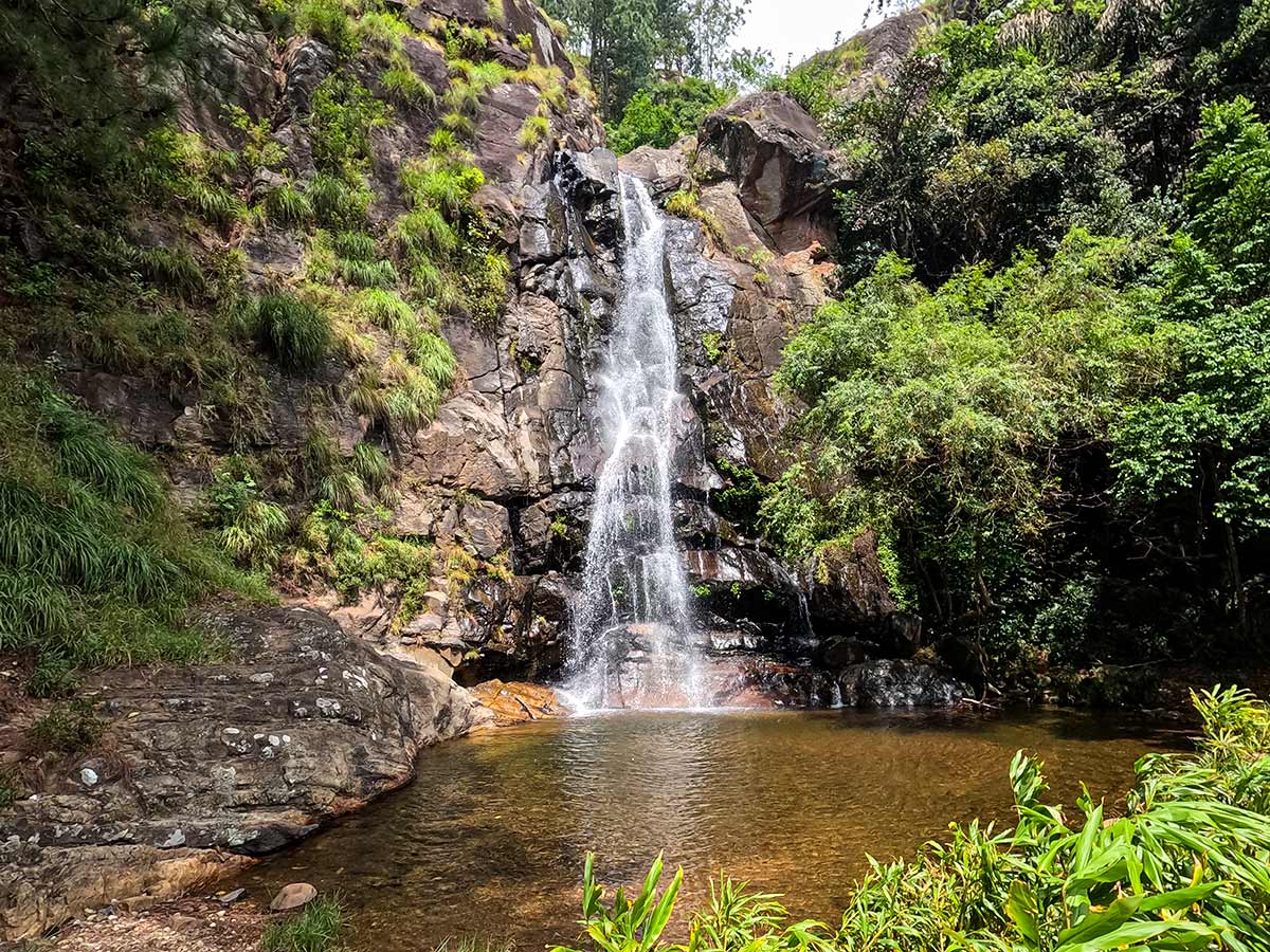
Bambarakanda Waterfall is a tall, narrow highland cascade in Badulla District near Kalupahana. The fall and the surrounding forest paths make this a useful base for exploring several separate waterfall viewpoints in the wider area.
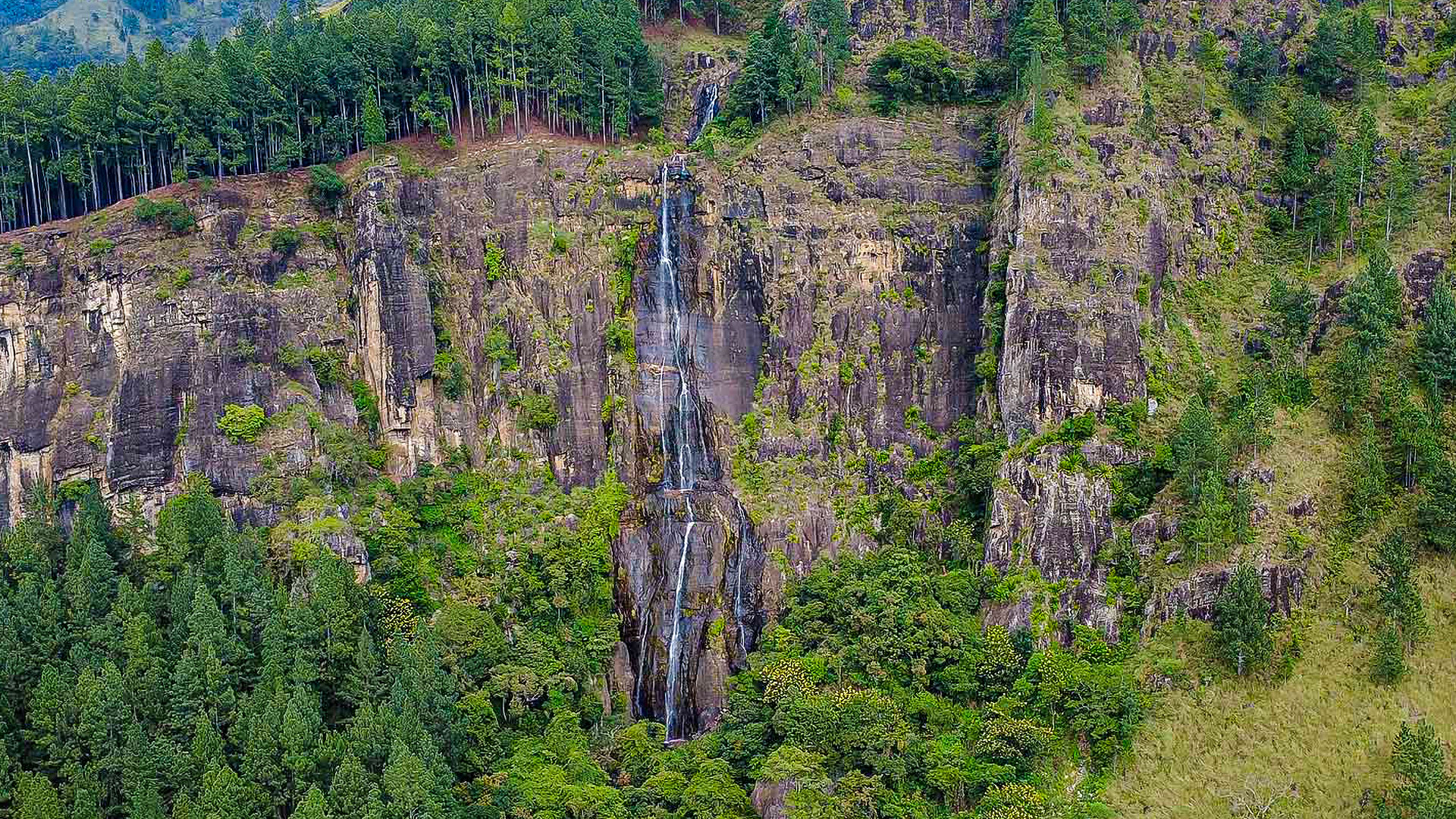
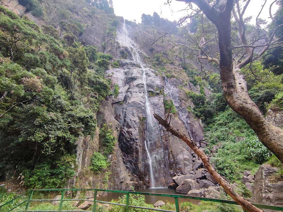
Unlike wide curtain-style waterfalls, Bambarakanda descends as a thin, elegant white ribbon from a rocky escarpment. The waterfall is formed by the Kuda Oya, a tributary of the Walawe River, flowing down from the Uduweriya Haputale mountain range.
Bambarakanda is a popular destination for photography and sightseeing. Water flow and trail conditions vary with recent rainfall. Stronger flow can make forest paths, rocks, and stream edges more dangerous, so visitors should choose a dry-weather day and confirm local conditions before entry.
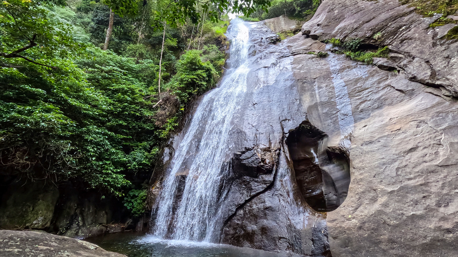
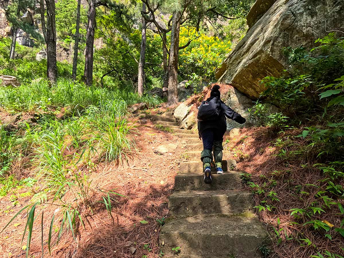
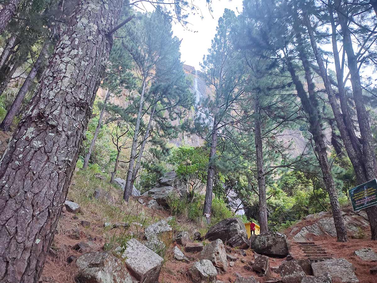
The base of the waterfall lies a few hundred metres from the access road. While there is no clearly marked path all the way to the base, visitors can walk down through the forested area carefully to reach closer views of the falls.
Waterfall planning
Access and viewing conditions
Check the approach, current path conditions, and appropriate starting point before visiting.
- Viewing conditions
- Dry-weather days after recent moderate rain, Confirm local trail conditions
- Fees and access
- A ticket is normally collected at the Bambarakanda Falls entrance. Confirm the current charge and whether it covers the intended forest route before entering.
Location
Walhaputenna, Haldummulla, Badulla District, Uva Province
Getting to the waterfall
- From Colombo (~162 km • ~5 h)
Choose an approach
Select a marker to open that location in Google Maps.
Waterfall safety
Review these water, weather, and access notes before visiting
- The access road is narrow and damaged in sections - drive carefully.
- Rocks near the base can be slippery.
- There are no strong safety railings at all viewpoints.
- Avoid approaching the base during heavy rainfall.
- Do not enter the water based only on appearance; ask a local guide or site staff about current depth, flow, and weather conditions.
- Supervise children carefully near steep drops.
Travel Tips
- Choose a dry-weather day and confirm recent rain, trail conditions, and water levels locally before visiting.
- Ordinary vehicles can currently reach the entrance, but the narrow access road can deteriorate after heavy rain - confirm current conditions before travelling.
- Morning visits offer better lighting for photography.
- Wear comfortable shoes if walking toward the waterfall base.
- Combine your trip with Lanka Ella, located about 1 km away by trekking.
Scenic video
Experience the destination
Gallery
Where to go next
Continue planning
These suggestions use reviewed itineraries, routes, and travel groupings. Map closeness alone does not prove direct road or trail access, especially across mountain terrain. Check each guide's Access section before combining stops.