Scenic Route
Devil's Staircase
A historic estate-road corridor of steep hairpins, tea slopes, streams and fast-moving mist between the Ohiya-side highlands and Kalupahana.
- Route distance
- Approx. 14 km
- Road difficulty
- Hard
- Planning region
- Central Highlands
About this route
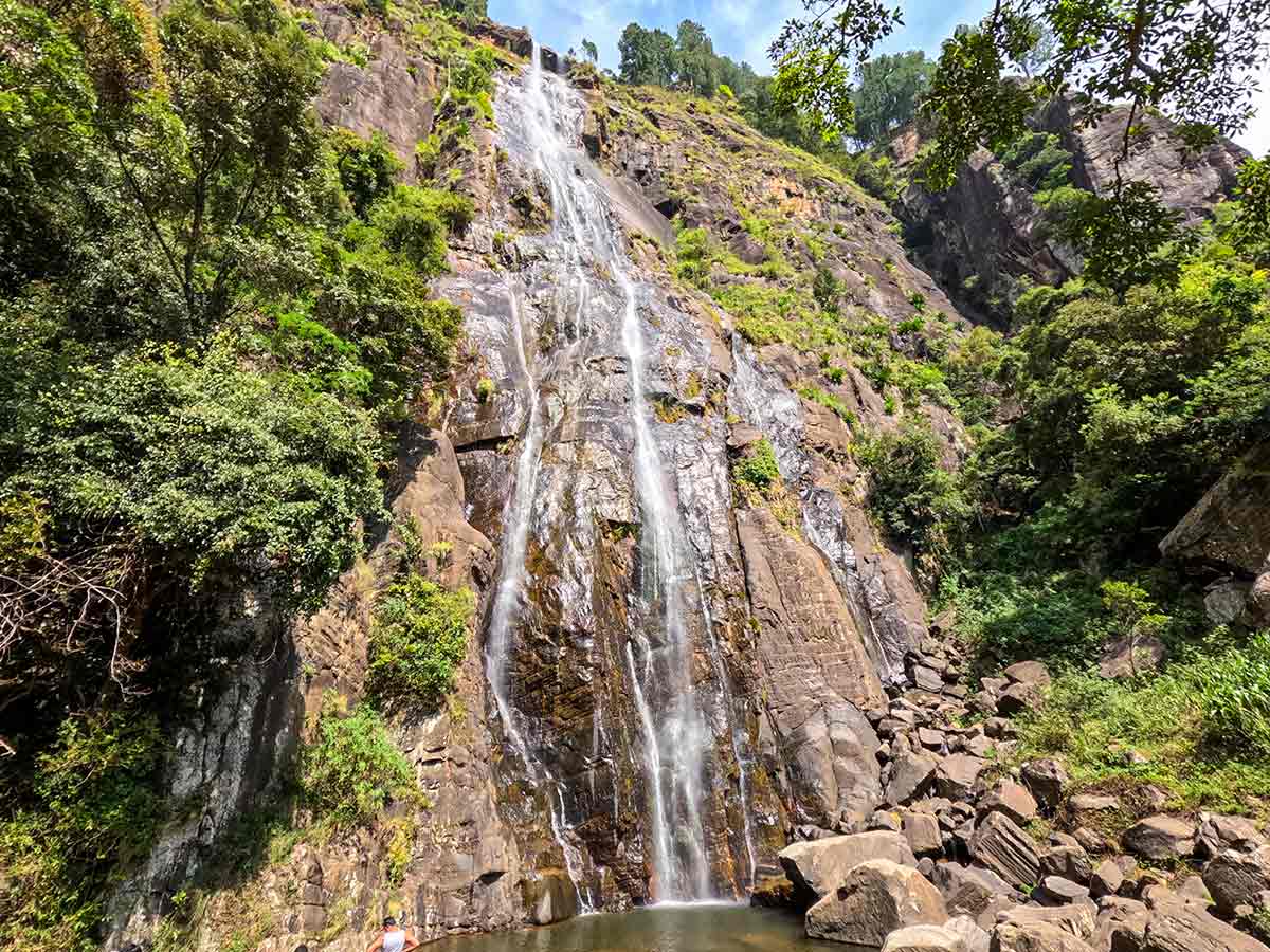
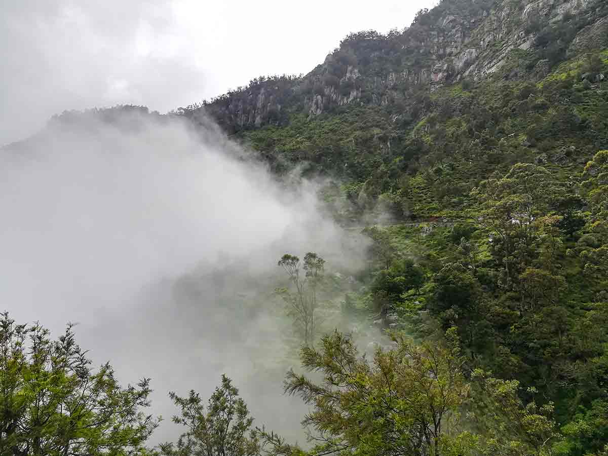
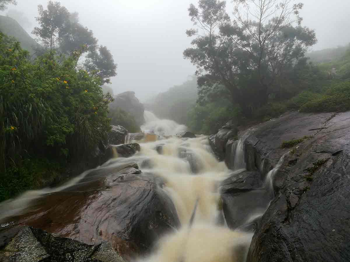
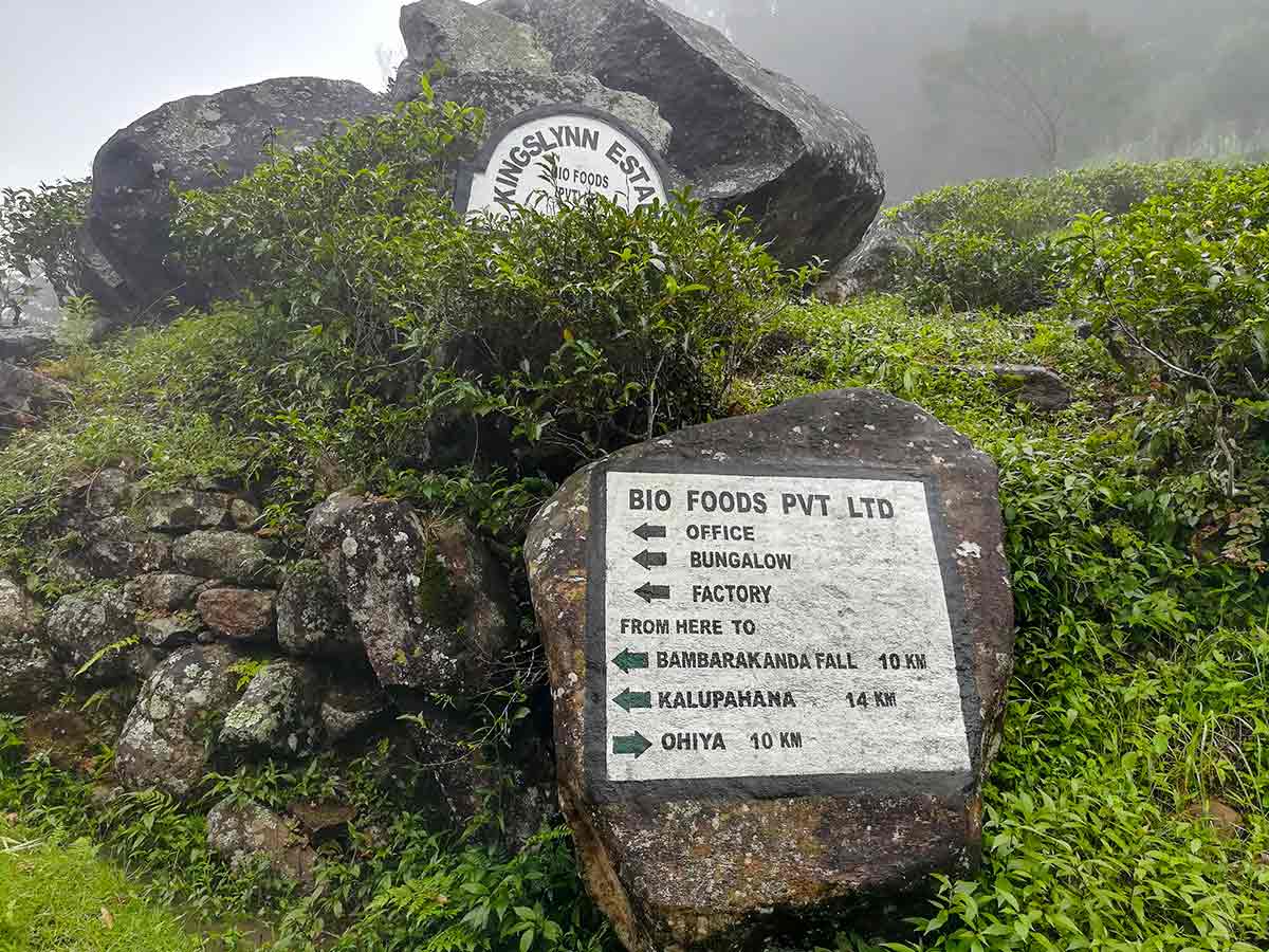
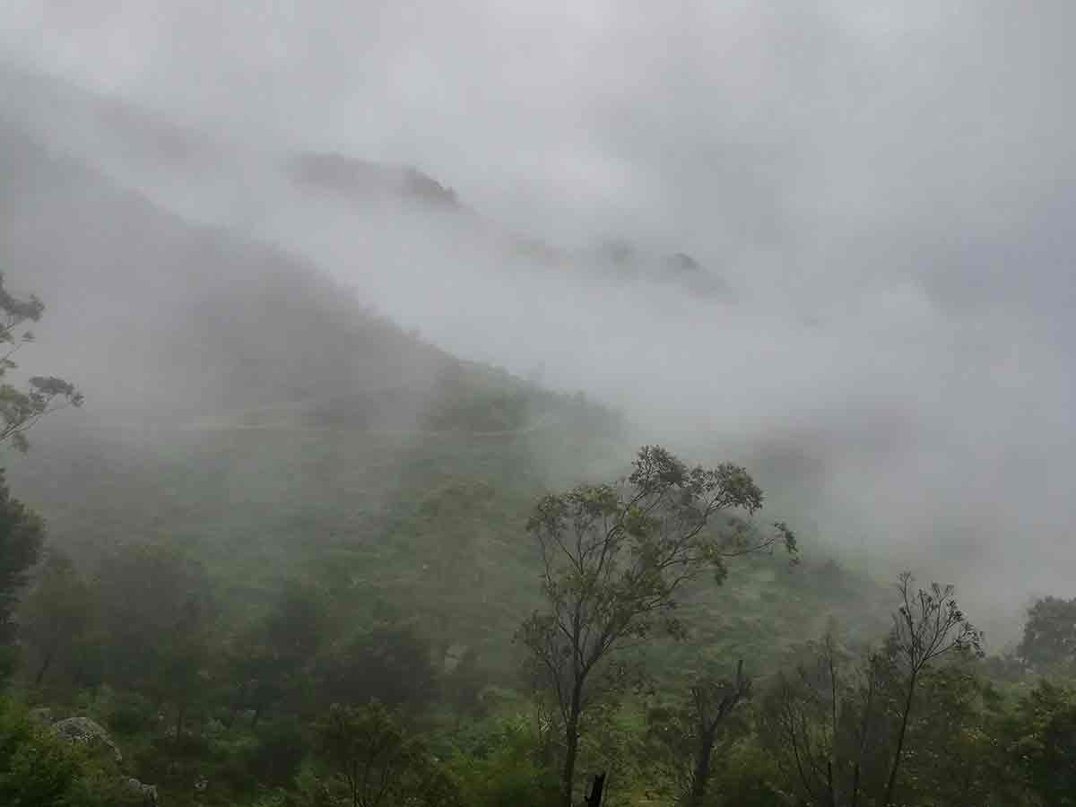
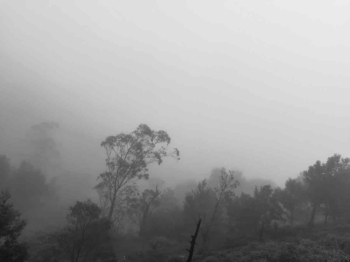
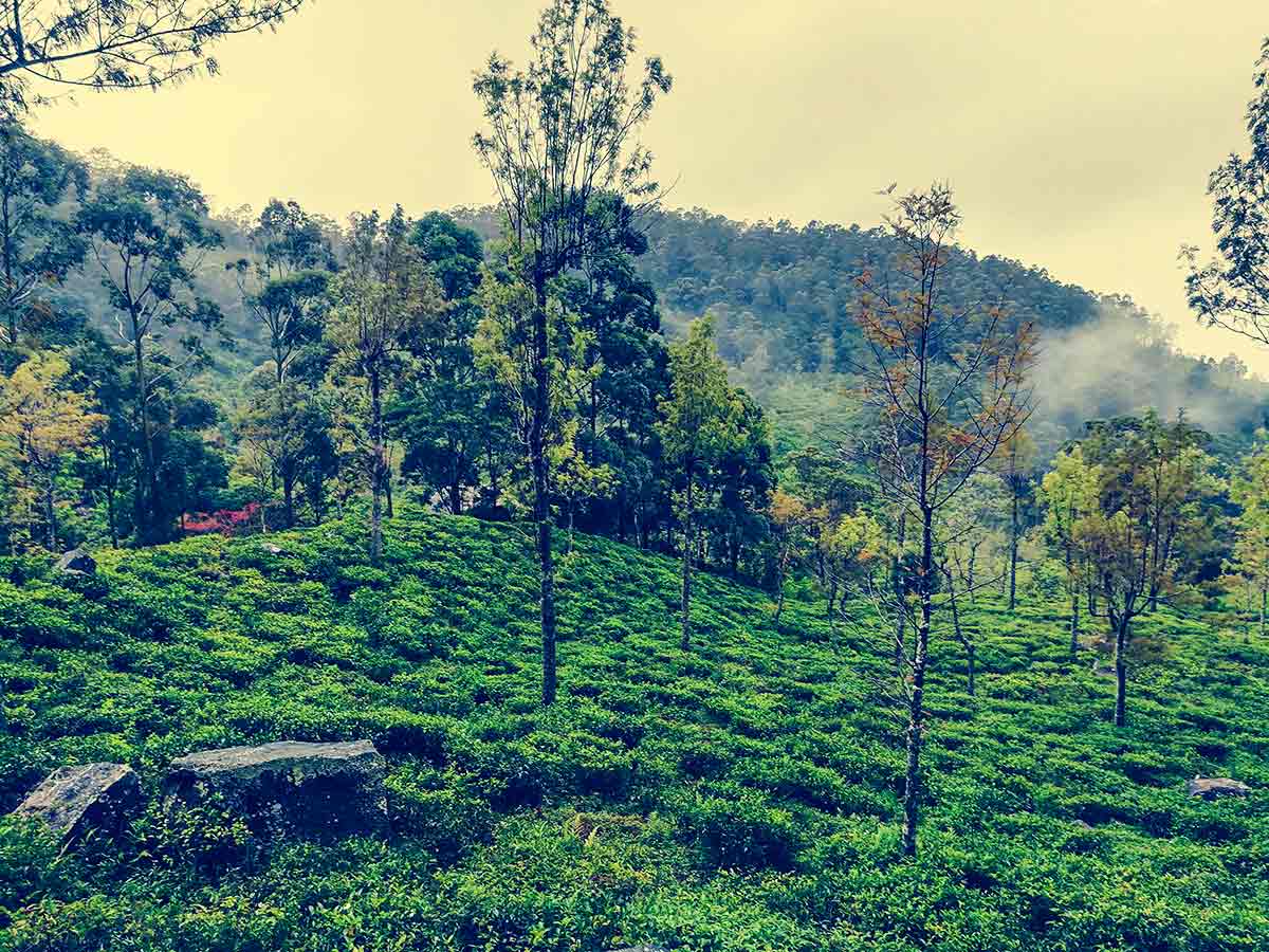
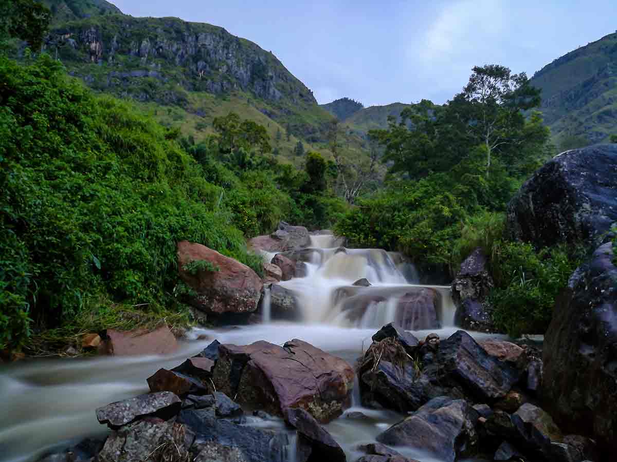
Devil's Staircase is the name commonly used for the old mountain and estate-road corridor between the Ohiya-side highlands and Kalupahana in Badulla District. It is not a staircase attraction with a single entrance. The Provincial Ministry of Tourism - Uva describes a British-era motor road through the Udaweriya mountains and records that it opened in 1949, replacing an earlier passage associated with a flight of steps. Today the name is used both for the difficult hairpin section and, more broadly, for the journey through the surrounding estates. Route lengths online vary because authors measure different endpoints. This page maps an approximately 14 km planning line from the Ohiya / Horton Plains Road side toward Kalupahana on the A4 side, consistent with a published Sunday Times walk. That is not the distance from Ohiya railway station, nor a live navigation track. In one of Ceylon Folk's original photographs, an older Kingslynn Estate marker reads 10 km to Ohiya in one direction and 14 km to Kalupahana in the other, while also marking Bambarakanda Falls as 10 km away. The sign is useful evidence of the wider estate-road context, but its arrows and distances should not be treated as current turn-by-turn directions. Ceylon Folk travelled in this landscape and the gallery records what makes the route distinctive. A narrow track cuts across bright green slopes below exposed rock faces. Tea fields wrap around scattered trees and large boulders, while water drops over tall rock walls and tumbles through smaller stepped cascades. Several photographs show mist moving across the valley until entire ridges almost disappear. That rapid loss of visibility is part of the real route experience, not merely a photographic effect. Older route guides identify the V Cut, a narrow passage made through the hillside in the Udaweriya area, and a later sequence of severe hairpins as separate landmarks. They also document forks toward Ohiya and the Ohiya-Horton Plains road. These historic descriptions explain why different accounts use the same name for slightly different sections; they are not a substitute for current local navigation. The Uva provincial guide describes Devil's Staircase as a jeep and hiking trail, but that wording does not guarantee that the complete through-route is open or safely motorable today. Estate permission, repairs, erosion, landslips, stream levels and weather can change the usable route. Ceylon Folk did not find a dependable public notice confirming the present condition of every section. Confirm the exact intended endpoint and permitted travel mode locally. For a vehicle journey, use a driver already familiar with the current route and a vehicle they judge suitable after a same-day condition check; do not enter simply because an older guide calls the road motorable. Bambarakanda Waterfall is a separately reviewed destination on the Kalupahana side. Reaching its entrance does not confirm a lawful or continuous passage through to Ohiya. Likewise, this estate-road journey does not authorize entry into Horton Plains National Park away from an official entrance. Arrange navigation, daylight, supplies and the return or pickup before committing to any remote section. The photographs on this page are Ceylon Folk's own record of the journey. They establish the scenery and conditions encountered on that visit, but not today's road, permission, weather or transport availability.
Practical route planning
Route map and endpoints
This map provides route context. Confirm current access, road conditions, permissions, and the intended section before setting off.
The map shows the authored start, end, route geometry, and reviewed stops. It does not prove that every section is currently open, public, walkable, or motorable.
Route safety
Review these road, access, and weather notes before setting off
- The route is steep and physically demanding on foot; assess the intended distance, elevation change and your fitness before committing.
- Mist can reduce visibility to almost nothing, as Ceylon Folk's original photographs demonstrate. Postpone the route in thick mist or insufficient daylight.
- Rain can make the surface slippery, increase stream flow and worsen erosion or slope instability; do not continue through a damaged or flooded section.
- Hairpins, narrow road edges and watercourses may be unprotected. Keep away from drop-offs, unstable slopes and fast-flowing water.
- Do not take informal shortcuts through tea fields, forest or community land; they can be unsafe, trespass on managed land or lead away from the intended road.
- Do not attempt vehicle access without current permission, a suitable vehicle and a driver experienced on the route in its present condition.
Travel Tips
- Define the exact start and end before departure: this page's approximate 14 km refers to the Ohiya / Horton Plains Road-side corridor, not a walk beginning at Ohiya railway station.
- Ask the relevant estate or road authority which sections and travel modes are currently permitted; an older map, marker or GPS track is not proof of access.
- Use a knowledgeable local guide for the route's forks and estate sections, and keep offline context as backup rather than following an unverified track blindly.
- If walking is permitted, wear footwear suited to steep, loose and wet ground and arrange the return or pickup before starting.
- For vehicle travel, use a driver familiar with the route's current condition and follow their same-day assessment of whether the vehicle is suitable.
- Start with ample daylight and carry water, food, rain protection, essential medication and a charged phone for the complete planned section.
Reviewed stops on this route
These guides provide destination context; their inclusion does not confirm that the complete through-route is currently accessible.