Kalabokka 360 Upper Division Viewpoint
A 1,175 m estate viewpoint on the Matale-Kandy border with wide highland views and a documented camping ground.
At a glance
Plan your viewpoint visit
Check access effort and visibility conditions first, then review the safest available approach.
Travel distance
Access effort
Best visibility
Access fee
Overview
Kalabokka 360 Upper Division Viewpoint is an estate attraction on the border of Matale and Kandy districts. A Sri Lanka State Plantations Corporation report records the viewpoint at 1,175 metres and describes its connection with the western side of the Knuckles mountain landscape.
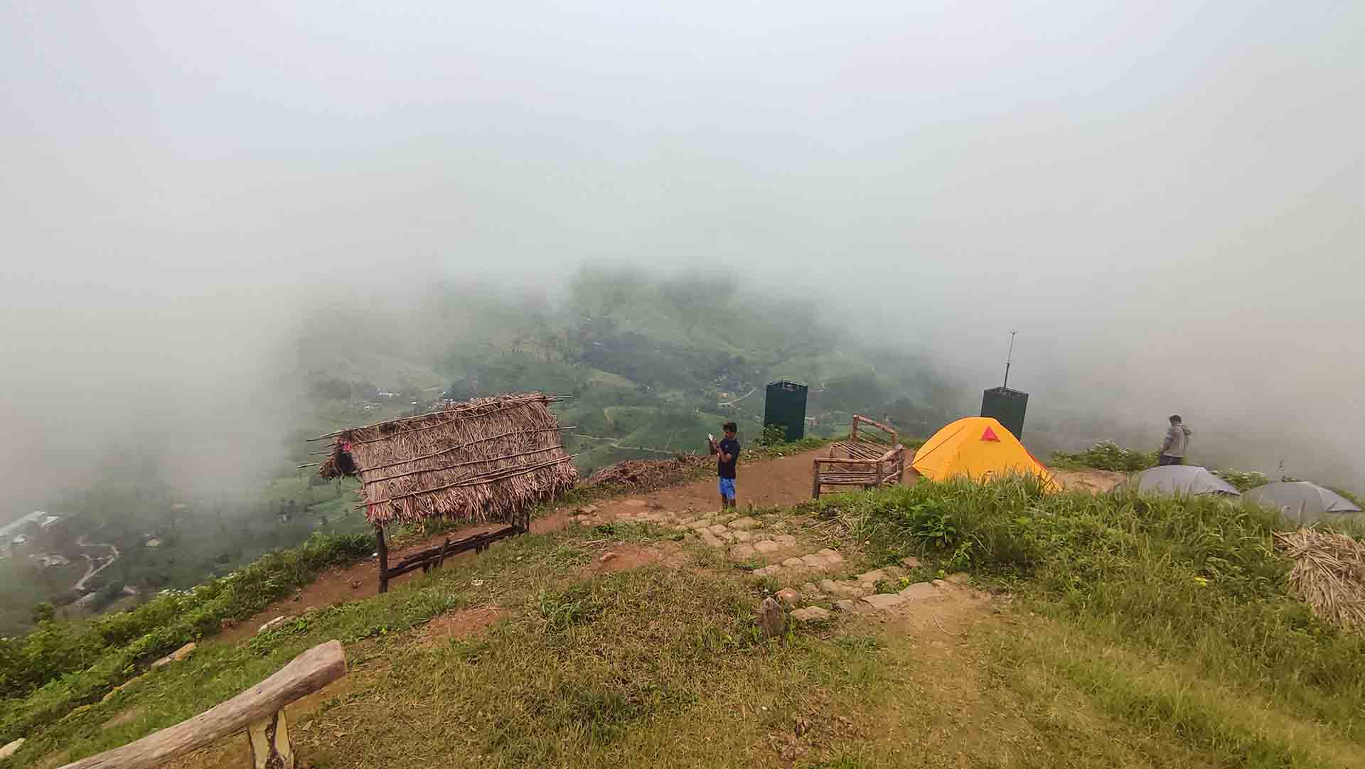
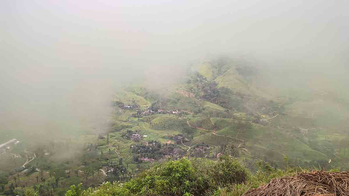
The "360" in the name reflects the all-round panoramic quality of the view, with mountain ridges visible in every direction on clear mornings. When mist rolls across the highlands — as it frequently does — the experience shifts to something more atmospheric, with the valley disappearing and reappearing through cloud cover.
A ticket counter operates at the start of the route, and the trail climbs toward the summit area. The official report records a camping ground, two estate bungalows, a Hindu shrine and a simple viewing shelter. Camping or bungalow use should be arranged with the estate in advance rather than assumed to be available on arrival.
The State Plantations report recommends morning visits because fog often obscures the view later in the day. Estate access, ticket rates, vehicle conditions and overnight arrangements can change, so confirm them directly before travelling or carrying camping equipment to the site.
Viewpoint planning
Access and visibility planning
Check visibility, current access conditions, and the appropriate approach before travelling.
- Visibility and conditions
- Clear morning, Before afternoon fog develops
- Fees and access
- Confirm locally (A ticket counter is present, but current rates are not reliably published. Confirm charges and estate access before visiting.)
Location
Kalabokka, on the Kandy-Matale district border, Central Province
Getting to the viewpoint
- From Colombo (~155 km • ~5 h via Kandy and Matale)
Choose an approach
Select a marker to open that location in Google Maps.
Viewpoint safety
Review these access and viewpoint notes before visiting
- Cliff edges are steep with minimal protective barriers — keep a safe distance.
- Mist can reduce visibility suddenly — do not stray from the trail.
- Strong winds are common at the summit.
- Trail can be slippery after rain — proceed carefully.
Travel Tips
- Visit early morning for the best chance of clear views before mist covers the valley.
- Arrange camping or bungalow accommodation with the estate before arrival.
- Wear sturdy footwear for the climb — trail sections can be muddy.
- Carry sufficient water and food — no shops beyond the ticket counter.
- Combine with Riverston Top and Pitawala Pathana for a full Knuckles day trip.
Gallery
Practical videos
Travel guides from the road
Where to go next
Continue planning
These suggestions use reviewed itineraries, routes, and travel groupings. Map closeness alone does not prove direct road or trail access, especially across mountain terrain. Check each guide's Access section before combining stops.