Idalgashinna Mountain
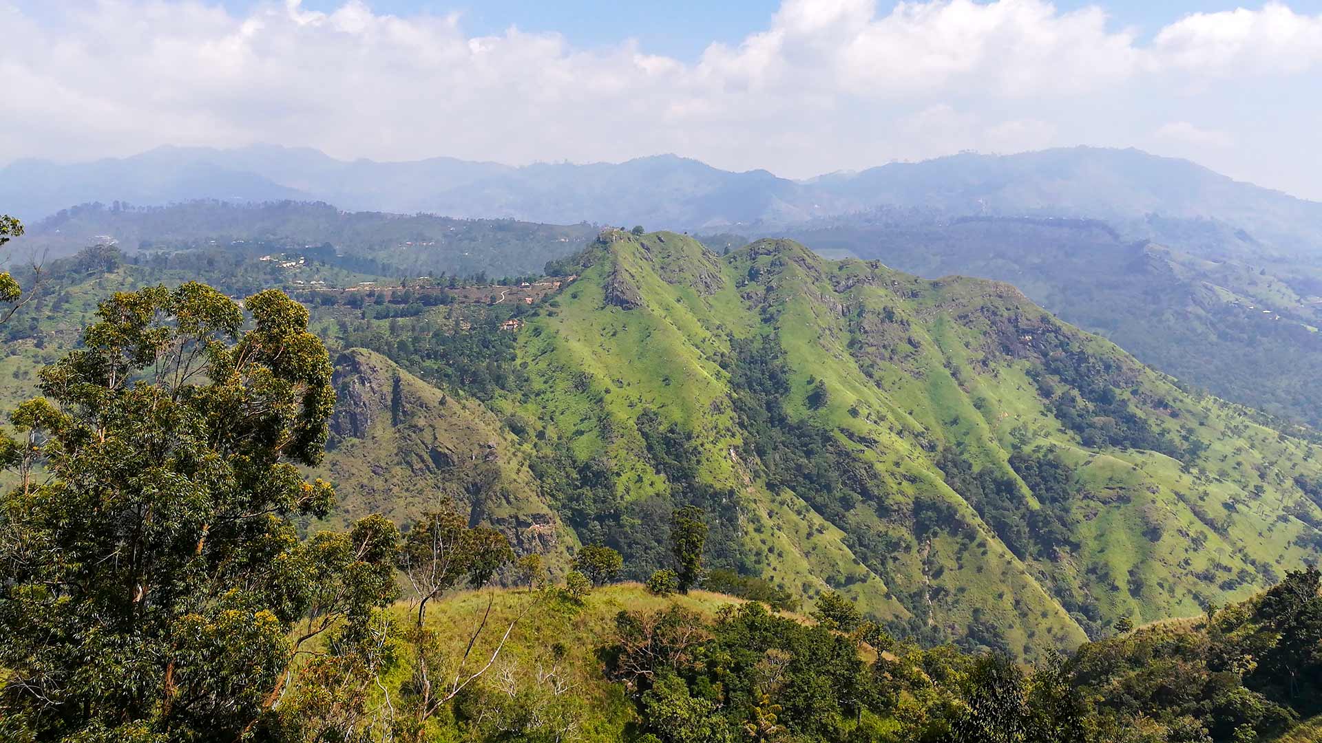
An elongated grassy ridge near Idalgashinna Railway Station, valued for changing views along the ridge rather than a single summit point.
At a glance
Plan your hike
Check the walking effort and best conditions first, then review the trail approach and safety notes.
Travel distance
Walking difficulty
Best hiking conditions
Access fee
Overview
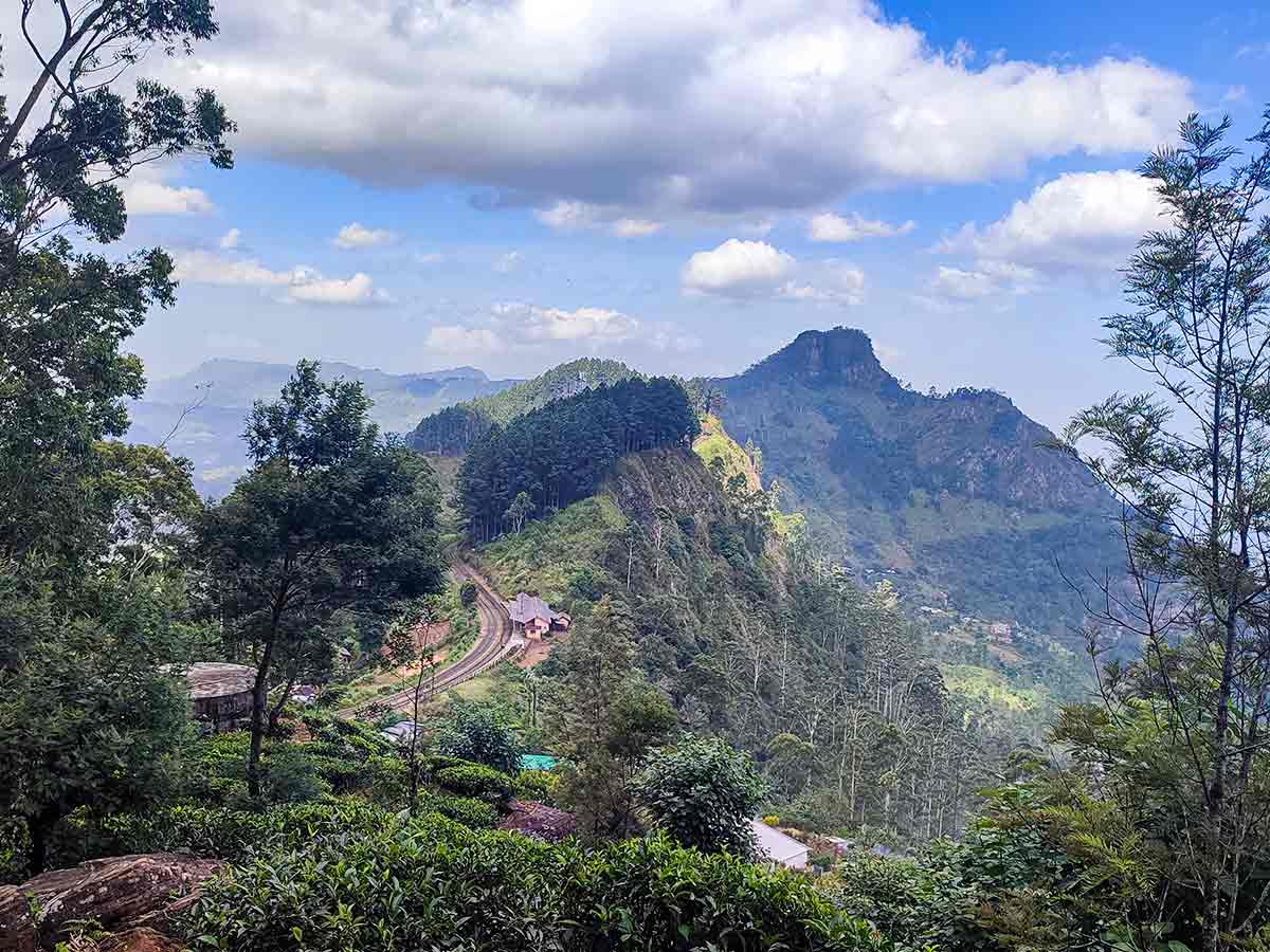
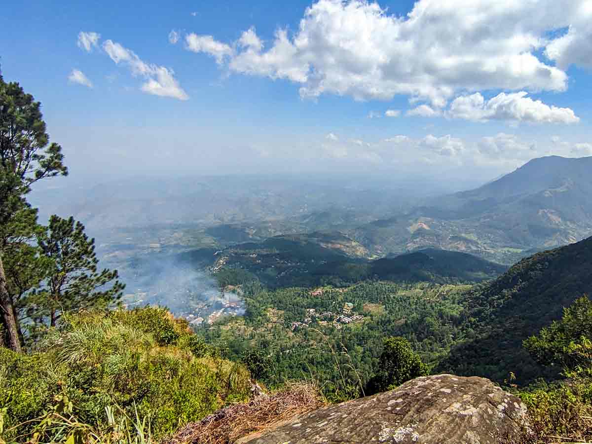
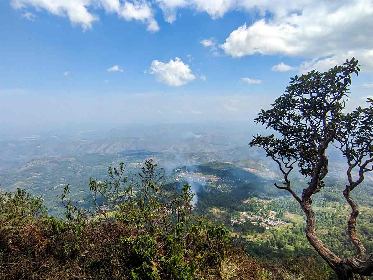
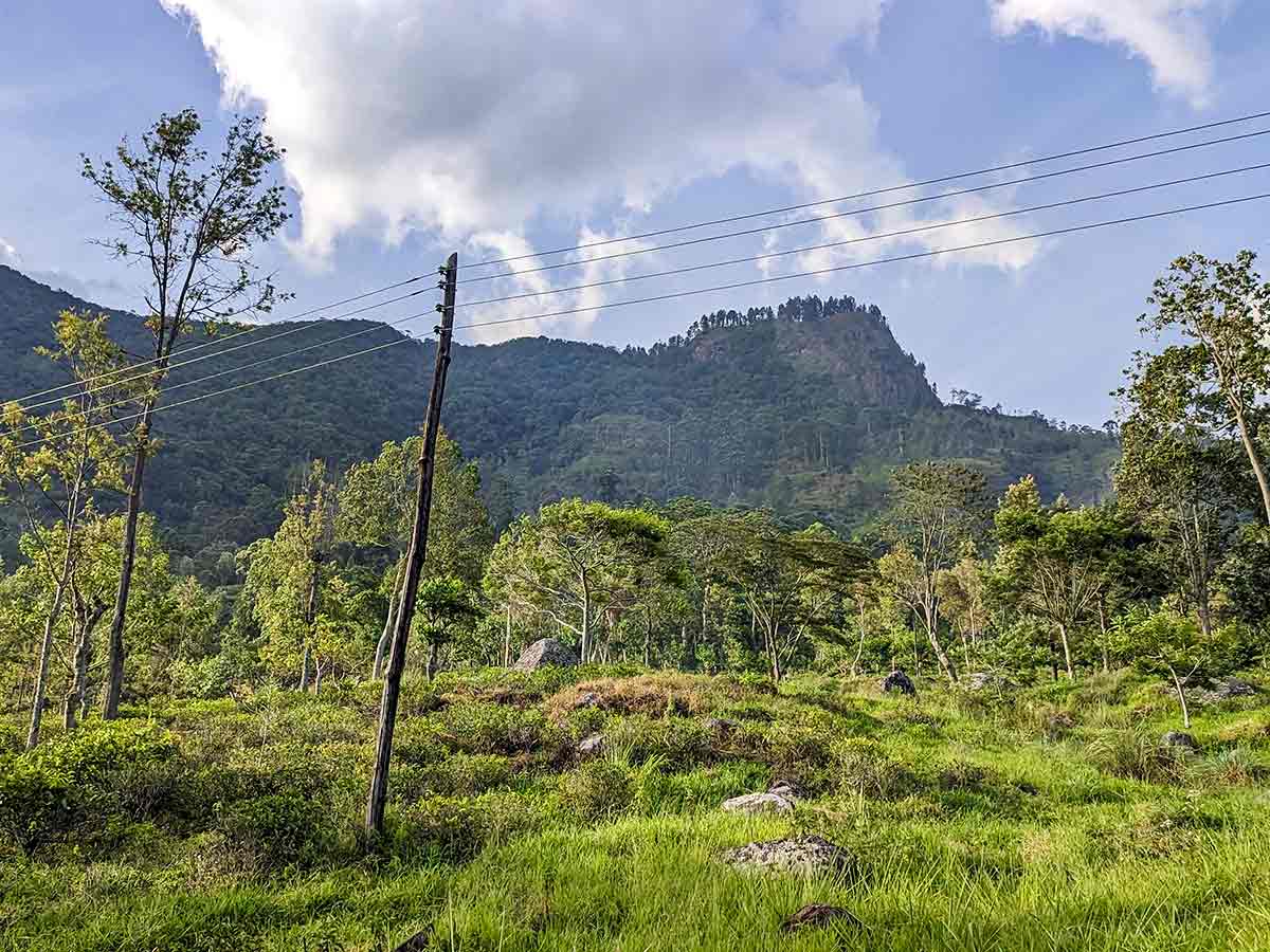
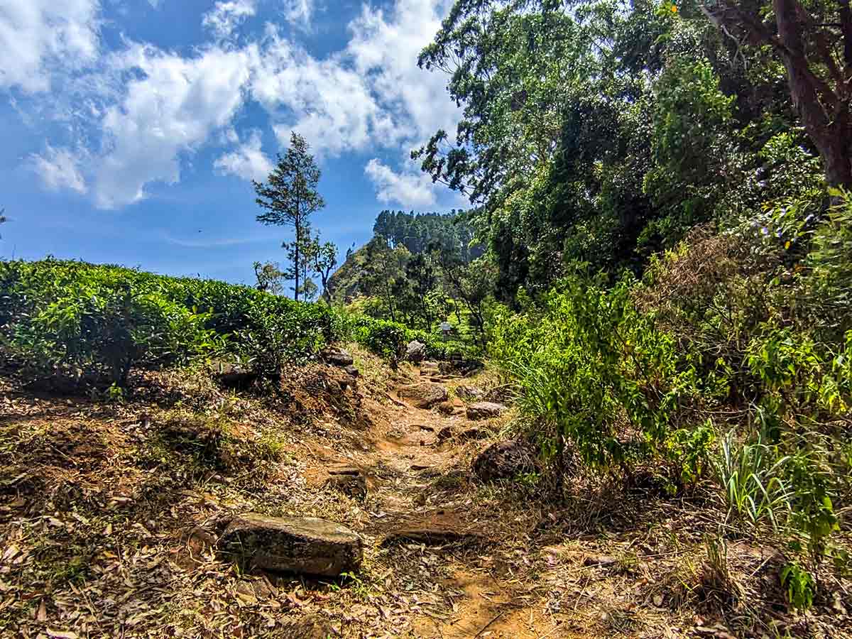
Idalgashinna is better understood as an extended ridge landscape than as a single summit climb. Tea land, grass, forest patches, and valleys appear from different angles as the ridge continues, so the experience comes from walking between viewpoints rather than reaching one marked top.
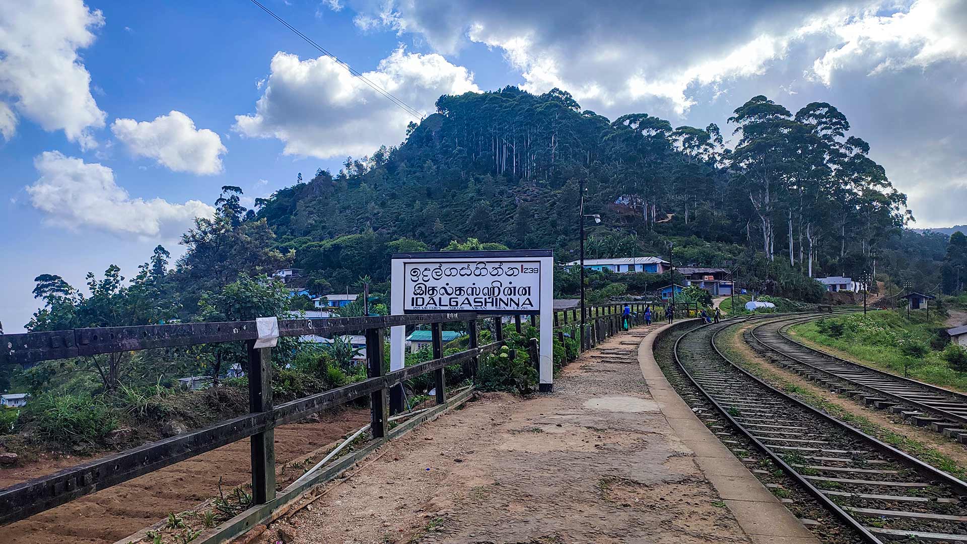
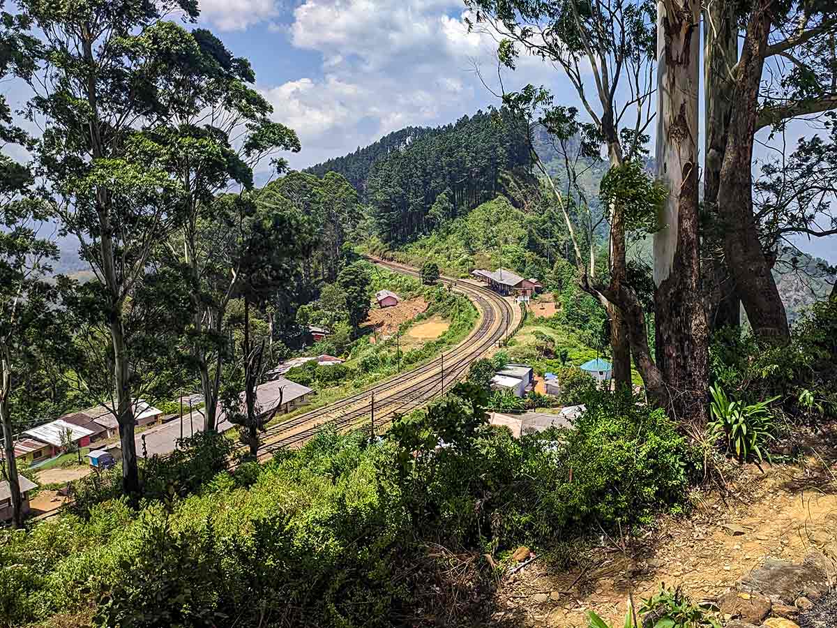
The railway station is a useful landmark and train travel can form part of the day, but the railway itself is not the hiking path. Tracks, bridges, cuttings, and tunnels remain active infrastructure. Confirm a public footpath or an authorised estate route locally before leaving the station area.
Sri Lanka Railways lists Idalgashinna as a station on the Main Line. That official record supports using the station as a transport and orientation landmark only; it does not turn the railway corridor into a walking route or grant access to the surrounding estate ridge.
Exposure is the main practical difference from the more forested Ella Rock climb. Wind, cloud, and mist can cross the ridge quickly, reducing visibility and making it harder to recognise the return line. There may also be no clear boundary between a viewpoint path and managed estate land.
Decide in advance how far along the ridge to walk and keep enough daylight for the same return. A knowledgeable local guide is appropriate until the lawful route and current access have been confirmed.
Hike planning
Trail access and navigation
Check the approach, walking conditions, and correct starting point before setting out.
- Walking conditions
- Clear daylight in suitable weather, Confirm current rail and local path conditions
- Fees and permissions
- Free (No official entrance fee is currently listed. Safe public trail access requires local confirmation.)
Location
Haputale area, Badulla District, Uva Province
Getting to the trail
- From Colombo (~170 km • ~5:30 h)
Choose a trail approach
Select a marker to open that location in Google Maps.
Trail safety
Review these trail-specific notes before setting out
- Do not walk along active railway tracks, cross railway bridges, or enter railway tunnels.
- Use only verified public footpaths or authorised estate paths and confirm access locally before starting.
- Weather can change quickly - mist reduces visibility.
- Trail edges along ridges can be steep in some sections.
- Limited mobile signal in remote areas.
Travel Tips
- Take the train to Idalgashinna - one of the most scenic rail journeys in Sri Lanka.
- Start early morning for clear views before mist develops.
- Wear hiking shoes suitable for uneven estate paths and grassy ridgelines.
- Carry water and snacks as there are no facilities along the trail.
- Arrange a knowledgeable local guide until a safe public route has been confirmed.
Gallery
Where to go next
Continue planning
These suggestions use reviewed itineraries, routes, and travel groupings. Map closeness alone does not prove direct road or trail access, especially across mountain terrain. Check each guide's Access section before combining stops.